 |
The false summit is visible from the
small pullout. |
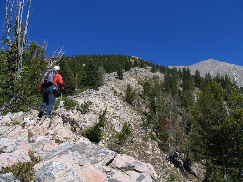 |
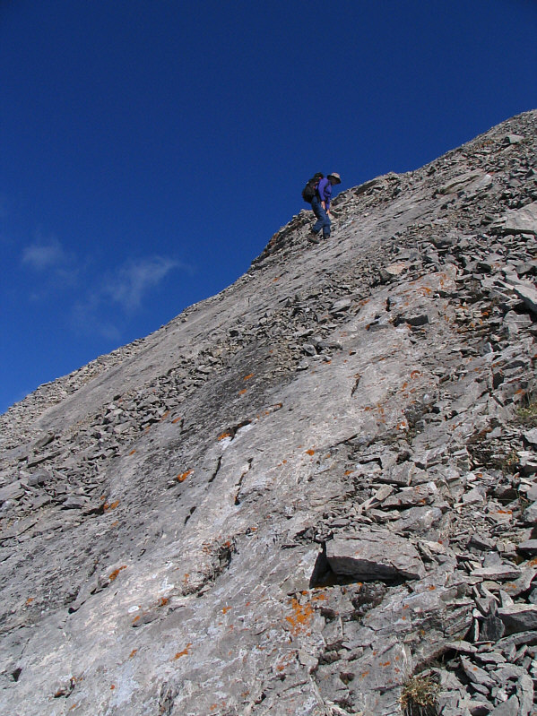
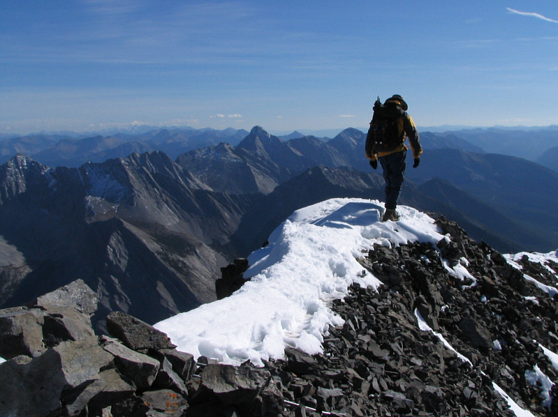
Sonny ascends the forested ridge to
climber's left of the gully. The false summit looks a little
closer. |
 |
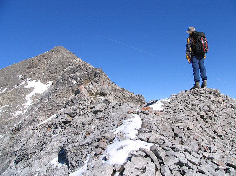
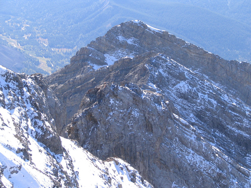
This is Sonny's first view of the true
summit (left) from the southwest ridge. |
 |
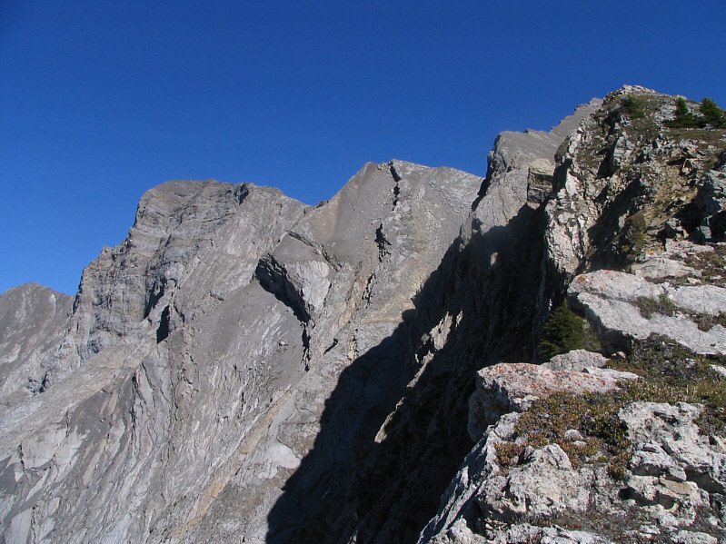
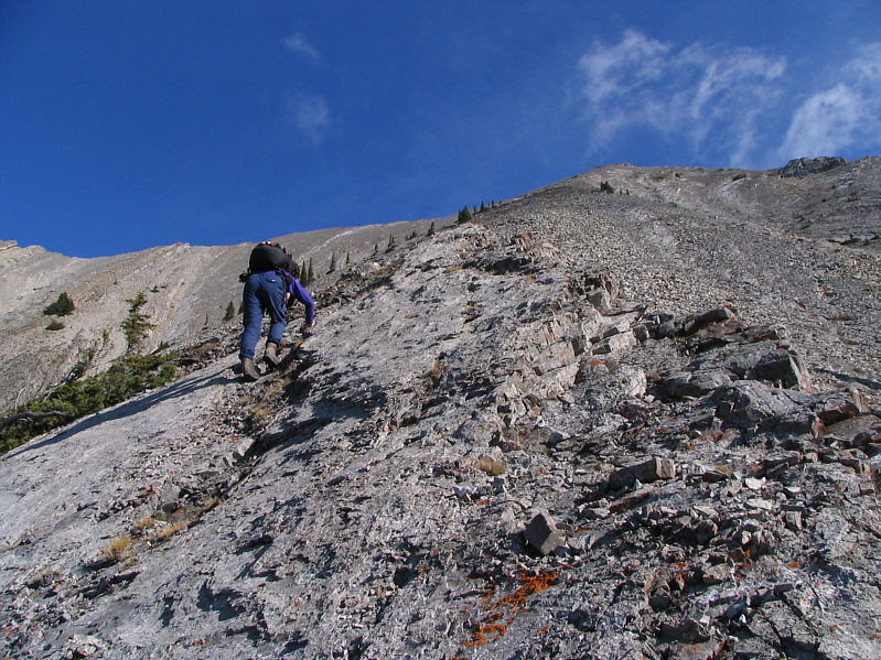
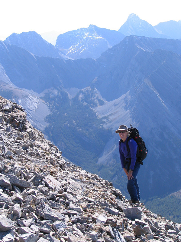
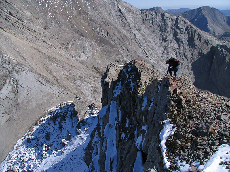
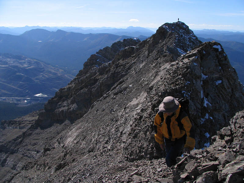
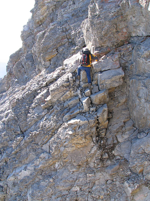
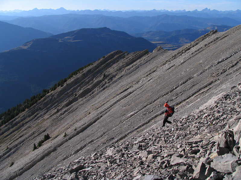
Following the southwest ridge to the
false summit is not as easy as it looks as there are a few drop-offs
that have to be negotiated. |
 |
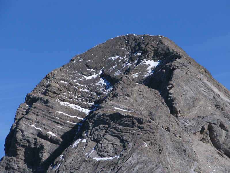
This is the connecting ridge to the
true summit as viewed from the false summit. |
 |
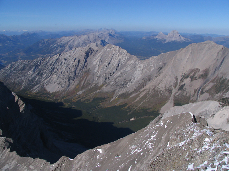
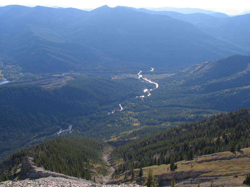
This is looking south from the false
summit. |
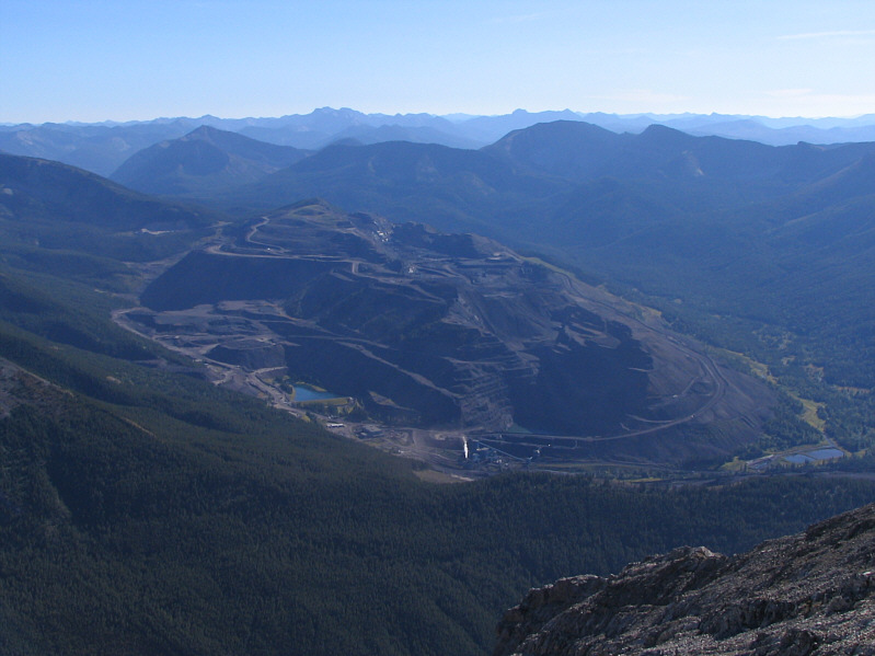 |
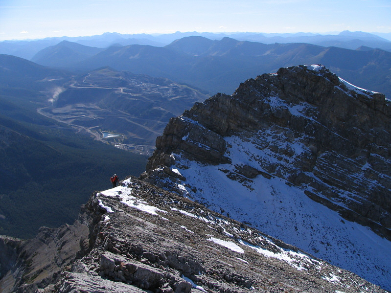
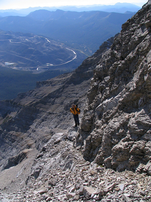
Coal Mountain and the mining community
of Corbin are a stark reminder of human impact on the environment. |
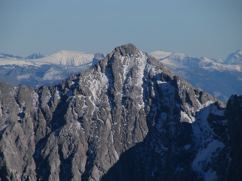 |
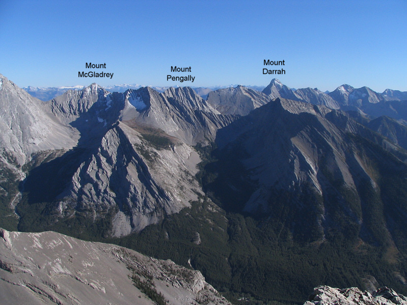
Here is a closer look at Mount
McGladrey. |
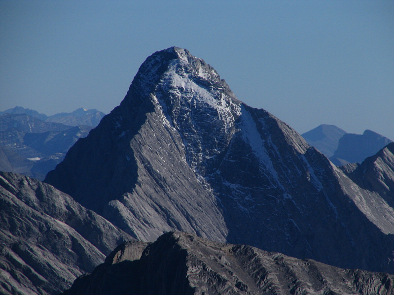 |
Here is a closer look at Mount Darrah. |
 |
The High Rock Range stretches away to
the north with Gould Dome (centre) rising high above the intervening
peaks. |
 |
Seven Sisters Mountain and Crowsnest
Mountain are also visible to the north. |
 |
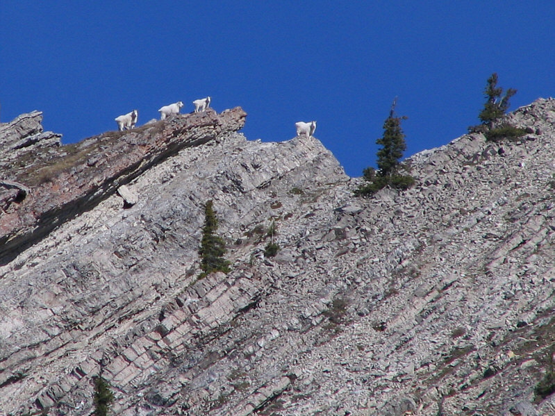
There are many fossils strewn across
the slopes below the false summit. |
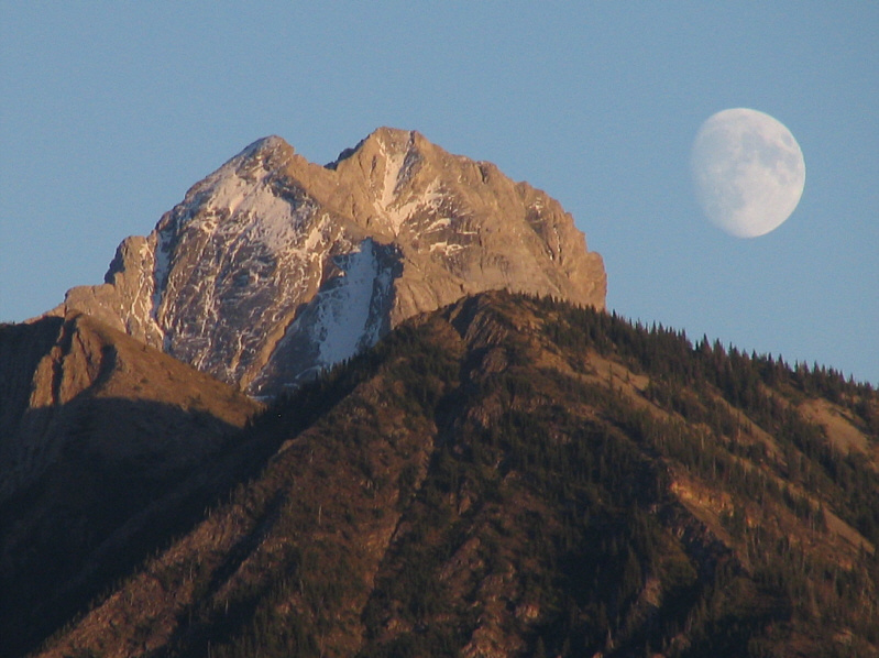 |
The moon rises over Mount Darrah at
the end of the day. |
After putting Mount Ptolemy on the back burner for a couple of
weeks, I returned on 28 September 2008 with renewed determination to
reach the summit or at least to make an honest attempt on the connecting
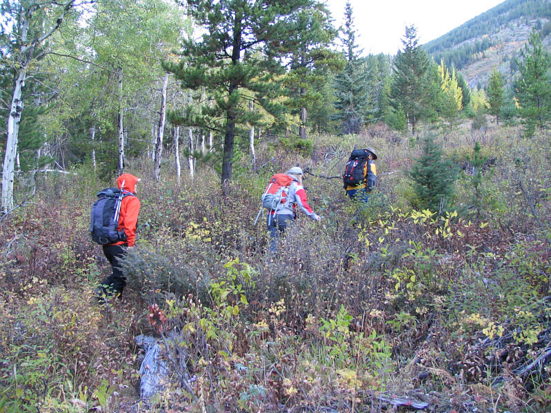
ridge. Joining me this time were Linda Breton, Bob Parr, and Antri
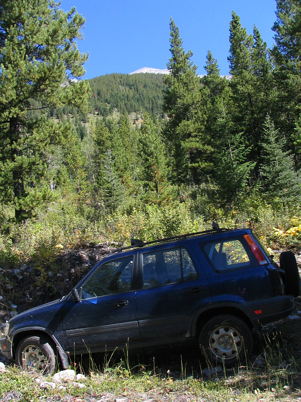
Zhu. Starting from the same pullout, we crossed the rocky drainage
and immediately climbed up the forested ridge to climber's right. A
lengthy but otherwise pleasant climb to the false summit ensued.
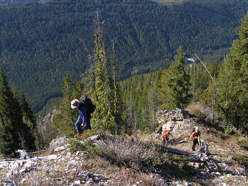
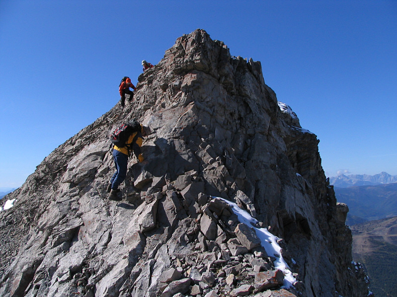
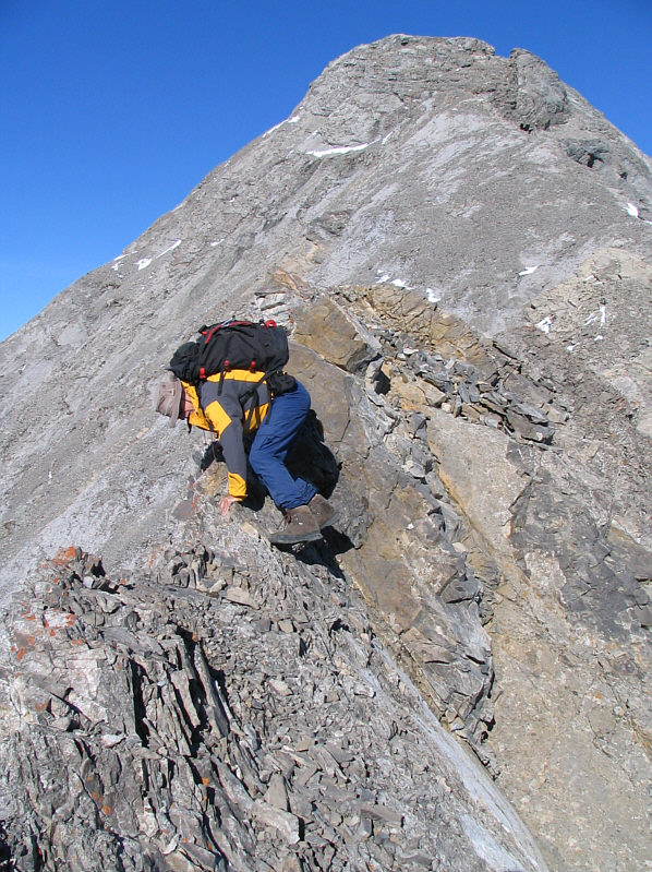
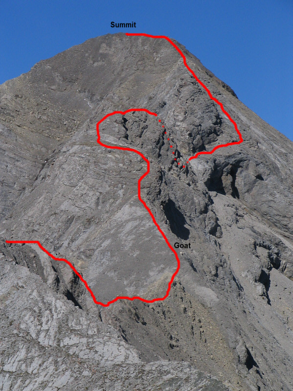
After taking a well-deserved break at the false summit, we began one of
the most intense and sustained stretches of difficult scrambling I have
ever experienced. Our first test was getting down from the false
summit to a col on the connecting ridge. One six-foot drop was
particularly intimidating, but Bob and I managed to down-climb it while
Linda and Antri found an easier detour to skier's right. From the
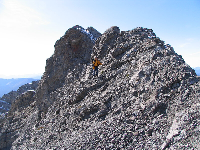
col, we hiked up a nice ledge parallel to the ridge before tackling a series of
pinnacles and cliff bands that seemed to get successively more difficult
the higher we climbed. Linda and Antri eventually had enough and
stopped at a short but uncomfortably exposed
down-climb made all the more slippery by a light dusting of snow.
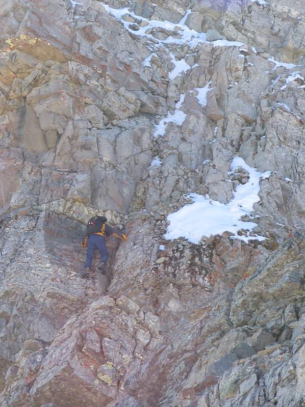
While Bob and I pressed on, we were constantly expecting to get stymied
by an impossible drop-off after each rise, but there was always a way
down or around each difficulty. The last big notch in the connecting ridge forced
us to descend a loose and slippery gully on climber's right. We
then traversed a scree-covered ledge below some large cliff bands before
scrambling up steep slabs to regain the ridge. After this, I remarked to Bob
that this was the first time I actually felt confident that we could make
the summit, and as it turned out, we encountered no further problems.
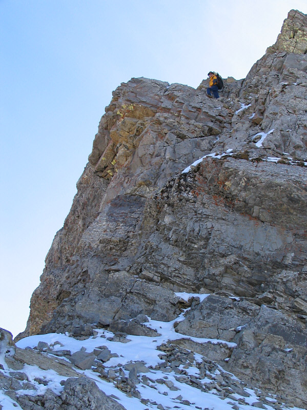
After a brief stay at the summit, Bob and I retraced our steps back along
the connecting ridge. Not surprisingly, climbing back up all the
drop-offs was easier, and it took us only half as long to return to the
false summit. Linda and Antri, who had waited patiently for Bob and
me on the connecting ridge, had begun heading down once they saw us
returning from the summit. Bob and I caught up to them on the
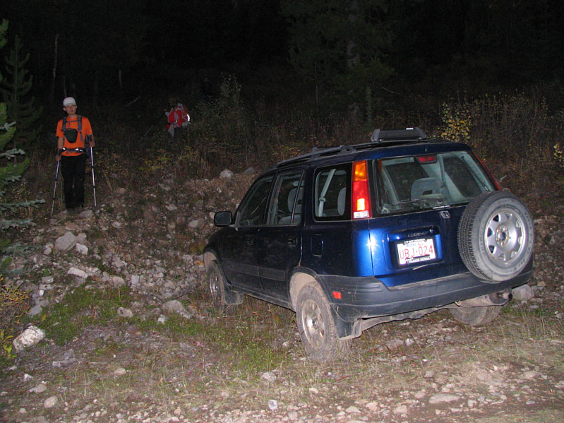
rubble slope below the false summit, and together, we descended
uneventfully to my car (round-trip time of 11 hours). Dinner at The
Rum Runner in Coleman, Alberta capped off a long but satisfying day.


