


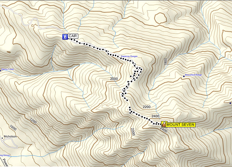
Total Distance: 9.1 kilometres
Round-Trip Time: 4 hours 14 minutes
Total Elevation Gain: 846 metres
|
|
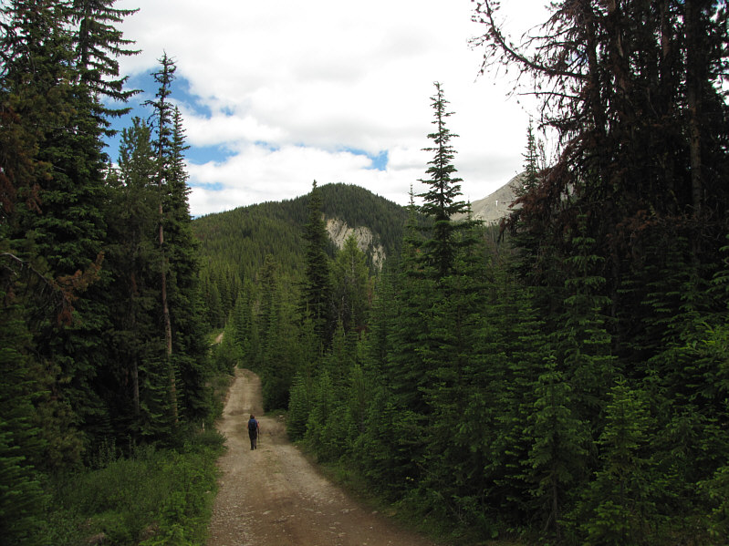
Kelly hikes the spur road leading to the actual trailhead which is on top of the forested bump ahead. |
|
|
The remainder of the route to Mount Seven is revealed at the first bump beyond the actual trailhead. |
|
|
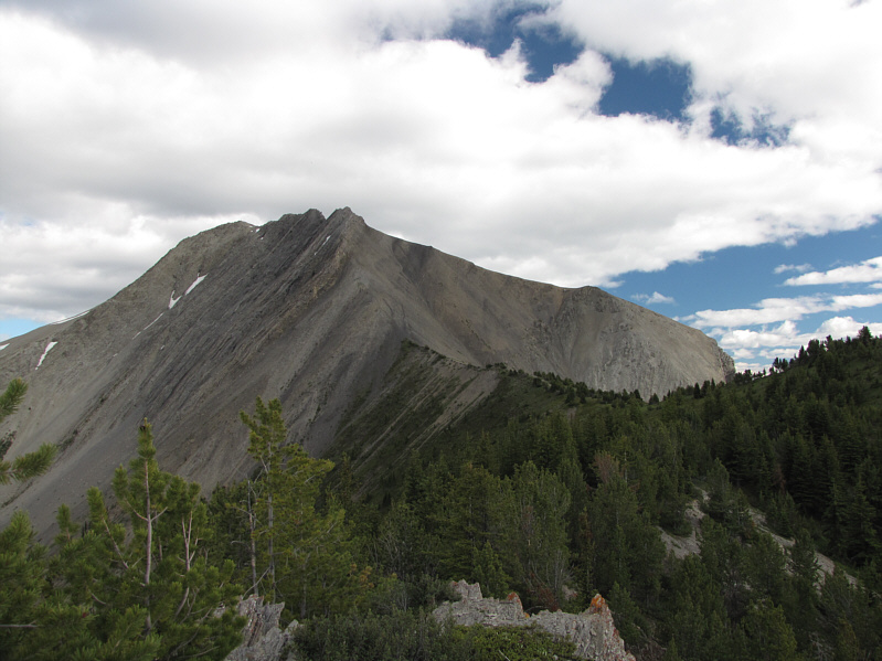
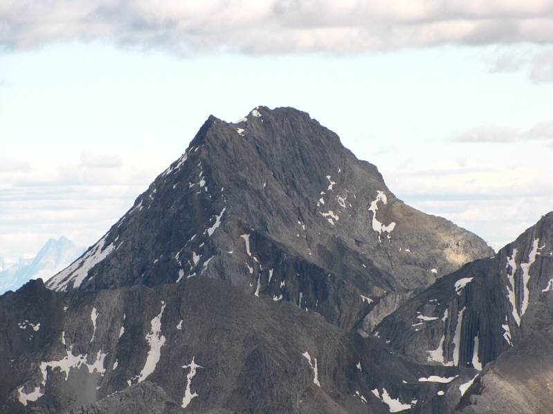
Here is the view of Mount Seven from its immediate northwest outlier. |
|
|
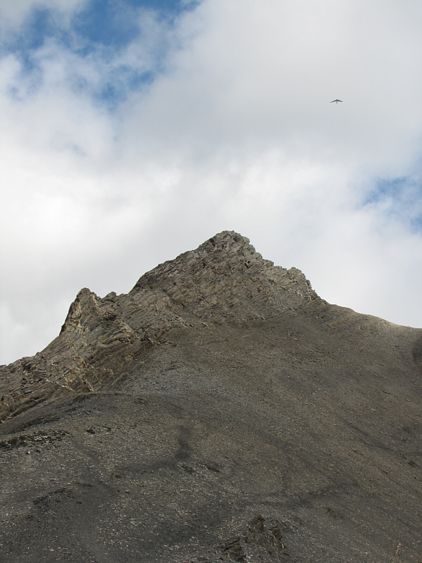
The route climbs up over the shoulder on the right. Note the hang glider at upper right. |
|
|
Sonny reaches the top of the shoulder. |
|
|
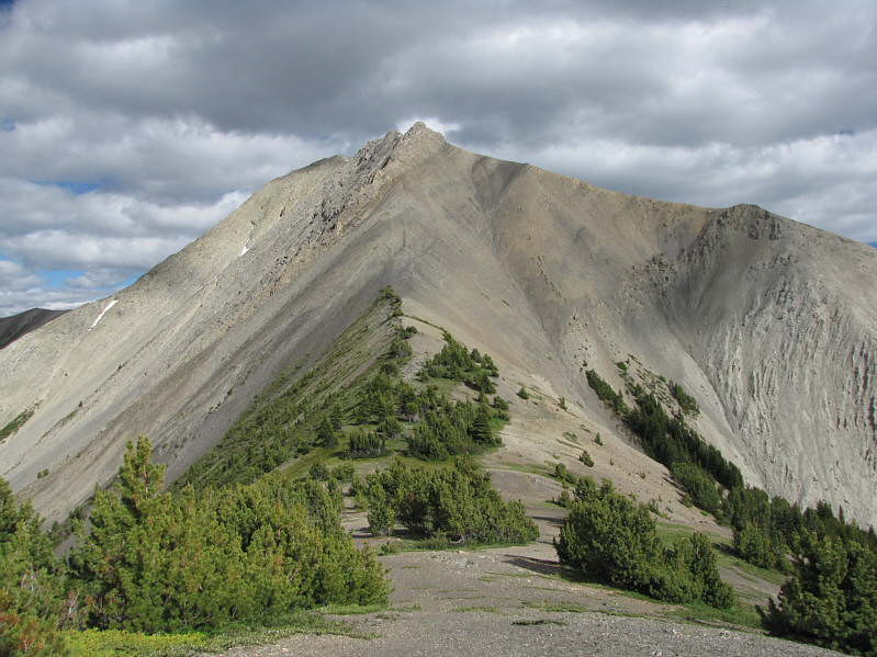
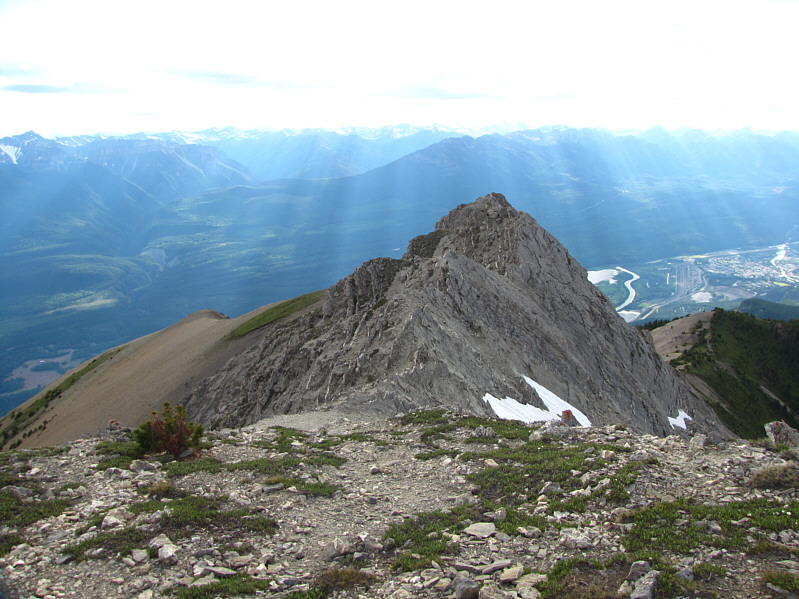
A deep notch separates this vantage point from the rest of the summit ridge. The summit is visible just right of centre. |
|
|
Sonny sits beside the cairn on the 2527-metre summit of Mount Seven. |
|
|
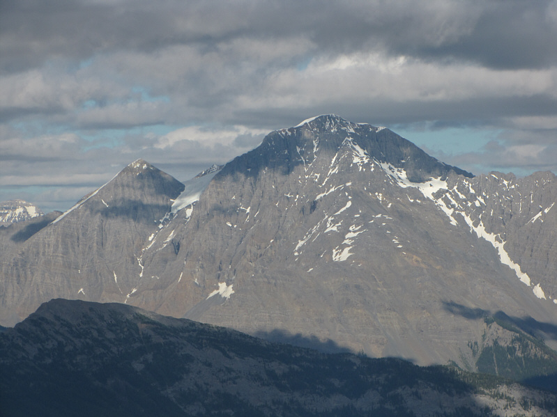
Mount Vaux is visible to the east. |
|
|
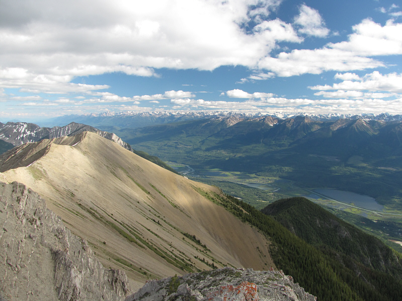
This is looking south across the Columbia River valley. |
|
|
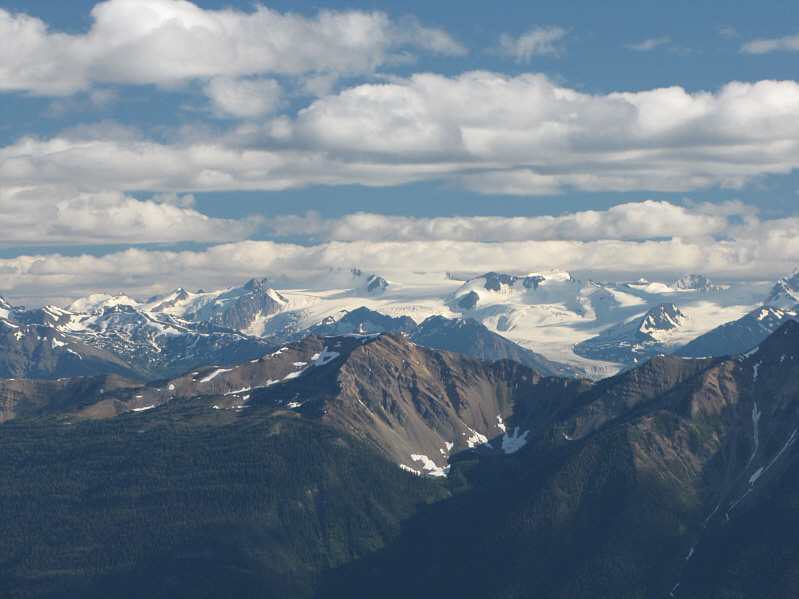
Here is a closer look at some of the ice fields that are visible to the south. |
|
|
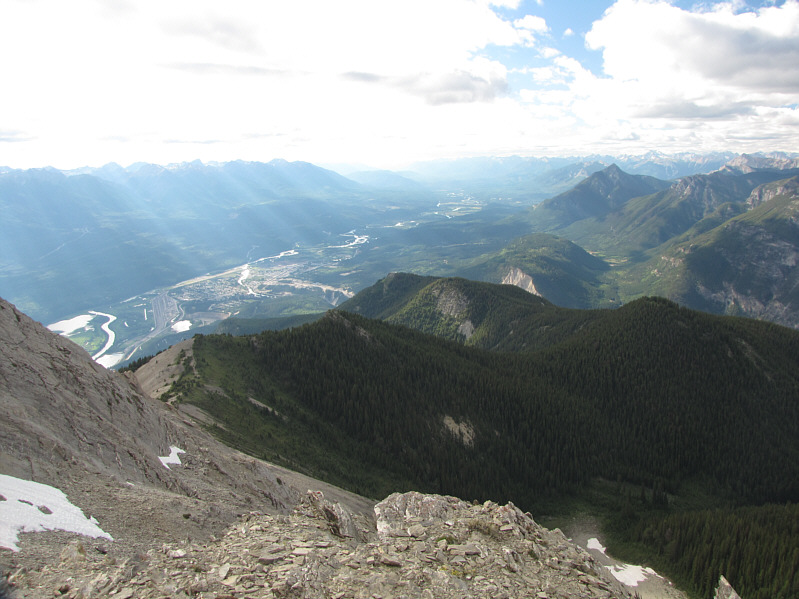
This is a comprehensive view of Mount Seven's northwest ridge. Mount Seven Lookout is at the far tip (centre). The town of Golden is visible as well. |
|
|
Further to the northwest is Moberly Peak. |
|
|
To the northeast are some unnamed peaks of the Van Horne Range. |
|
|
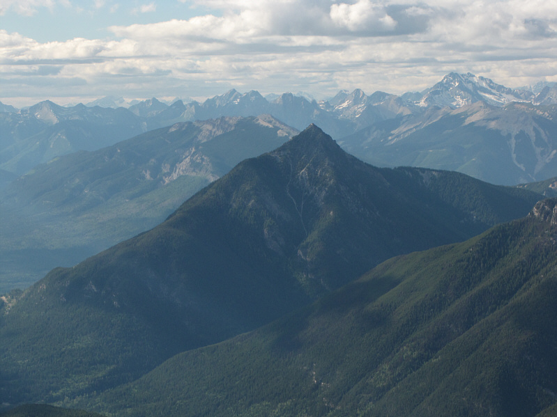
Also visible to the northeast is Mount King. |
|
|
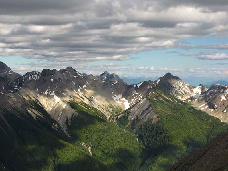
To the southeast are some unnamed peaks of the Beaverfoot Range. |
|
|
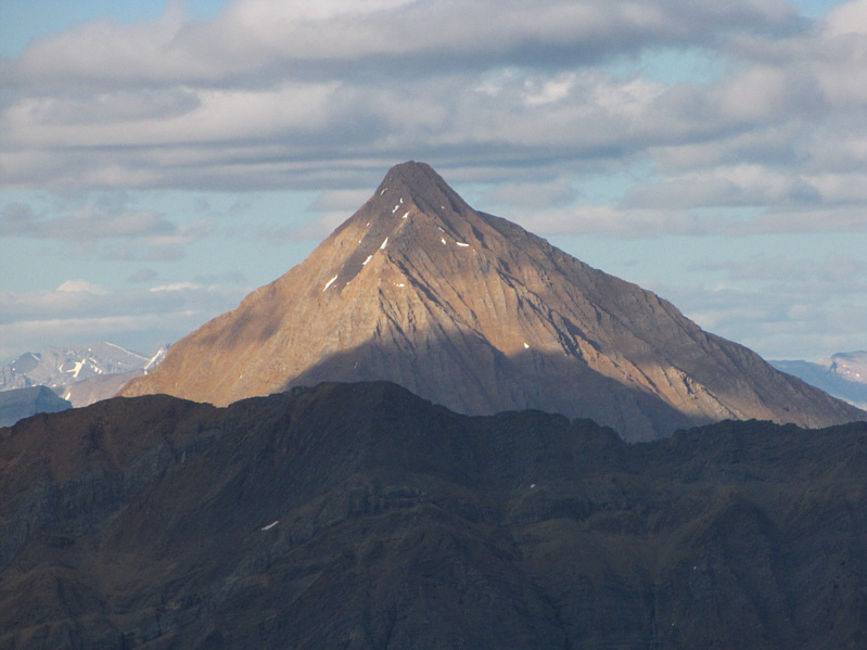
Also visible to the southeast is Kapristo Mountain. |
|
|
This is looking west along the summit ridge of Mount Seven. |
|
|
Sonny pauses at the big notch along the summit ridge. |
|
|
Here is another view of Mount Seven's northwest ridge from the aforementioned shoulder. |
|
|
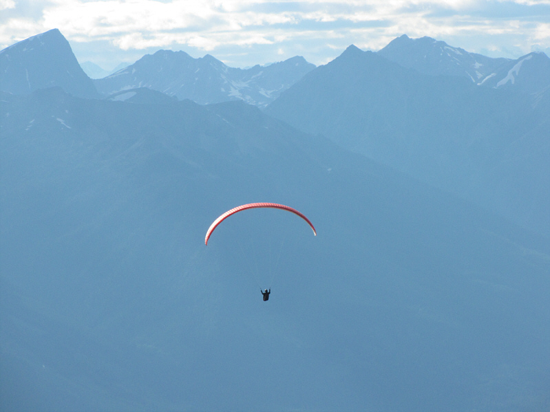
A paraglider flies high near Mount Seven. |
|
|
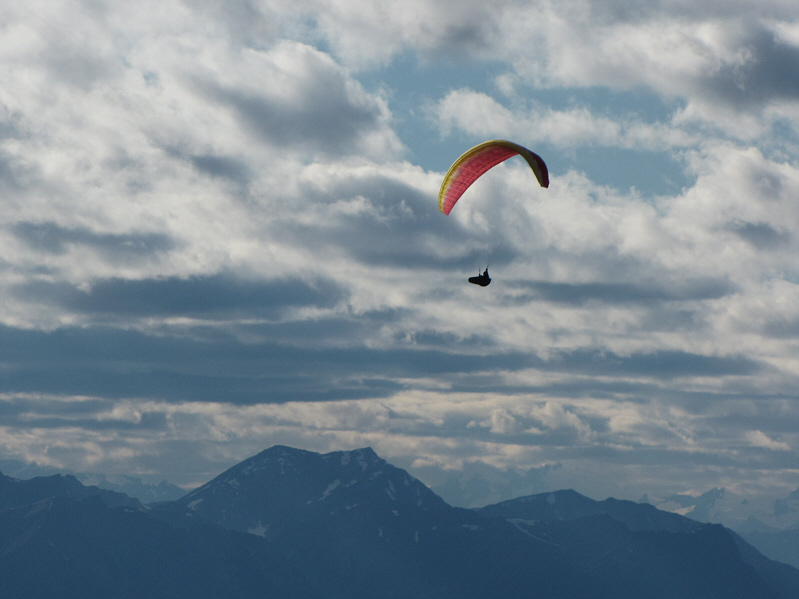
Here is another look at the paraglider. |
|
|
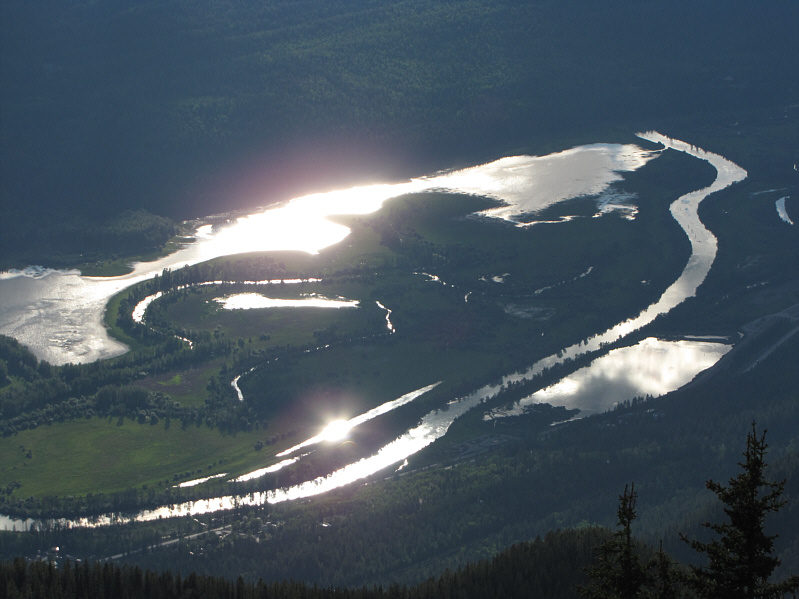
The late-day sun reflects off the waters of the Columbia River. |
|
|
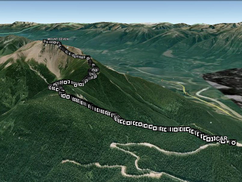
This is the route as viewed in Google Earth. |
|
|
Total Distance: 9.1 kilometres |