BOU AVENUE
Mount Stevens And Teepee Mountain
Following the route description found here, Dinah Kruze, Bob Spirko and I ascended Mount Stevens and Teepee Mountain near Wasa, British Columbia (BC) on 31 July 2010.  Staying the previous night at a hotel in Fernie, BC, we had no issues finding the trailhead which is accessible by 2WD vehicle.  As usual, Bob set a relentless pace up the very steep trail which was just as well since there was very little to see beyond the forest for the first couple of hours.  We eventually broke through tree line, but with hardly a breath of wind, I probably sweated out half my body weight by the time we reached the crest of the ridge leading to the top of Mount Stevens.  After a short rest at the summit, we continued across the connecting ridge to Teepee Mountain.  The route is less defined here but still easy to follow.  Distant rumblings of thunder prompted us to keep our stay at Teepee Mountain's summit short, and we more or less retraced our steps back over Mount Stevens.  Our descent through the trees seemed interminable, and I probably sweated out the other half of my body weight by the time we returned to the trailhead.  After showering and getting changed back at our hotel in Fernie, we went out for what would be the true highlight of the day--a fantastic dinner at a little-known restaurant called Mezzaluna.

Be sure to check out Bob's trip report and photos here.
Get ready for a long uphill grind... Dinah and Bob start hiking up the steep trail.
Hmm...I don't recall the tree looking this colourful! Bob hikes around a colourful tree on the way up.
Took 2:25 to get here from the trailhead. Someone claimed to have summitted Teepee in less time than that. Hmm... Dinah reaches tree line just below the ridge.
Mount Harrison is visible on the right horizon (streak of snow). The ridge crest south of Mount Stevens grants a view of the Diorite Creek valley.
If you look closely, you can also spot the top of Teepee Mountain! Bob and Dinah reach the 2655-metre summit of Mount Stevens.
She was actually feeling nauseous at this moment. Dinah relaxes beside the summit cairn of Mount Stevens.
It takes a "skilled route finder" to continue on to Teepee Mountain! Bob and Dinah head toward Teepee Mountain.
The top is further away than it looks. This is Teepee Mountain as seen from the connecting ridge.
Can you spot Bob and Dinah in the photo? Here is a closer look at Teepee Mountain from further along the connecting ridge.
There a nice trail all the way up. Bob and Dinah make the final push to the summit of Teepee Mountain.
Birdy num num! A ptarmigan sits quietly not far from the summit of Teepee Mountain.
Sorry, Dinah.  This ain't no 2800-metre peak! Sonny, Bob and Dinah stand on the 2797-metre summit of Teepee Mountain.
Hope he wasn't buried here... An iron cross near the summit of Teepee Mountain memorializes a local ski mountaineer.
A ridge walker's paradise. This is the view to the north of various unnamed ridges in the Hughes Range.
Climb both to find out which is the real peak? Not "wirth" it, if you ask me... To the northeast is Mount Wirth.  The 1980 NTS map (Skookumchuck 82G/13 Edition 3) and Bivouac.com designate the peak at centre (2759 metres) as Mount Wirth.  In contrast, Toporama and Garmin's 2009 Topo Canada (v4) designate the peak at left (2657 metres) as Mount Wirth.
Luckily those thunderstorms weren't rolling our way. Thunderstorms brew over Mount Harrison at far left.  On the right is Mount Mike.
Wonder if any of the other unnamed peaks are unclimbed... This is looking east into Top of the World Provincial Park.  Mount Morro is the peak at right with the streaks of snow.  At far right on the distant horizon is Mount Washburn.
Might be worth a visit in the future. Here is a closer look at Mount Morro (right).
See a big gorilla somewhere on there? Empire State Peak pokes above an intervening ridge to the southeast.
WTF? In this view to the south, all map sources designate the low bump at far right as being Mount Bill Nye.  Bivouac.com actually designates both the large peak at centre and the low bump as two separate peaks but sharing the same name of Mount Bill Nye!

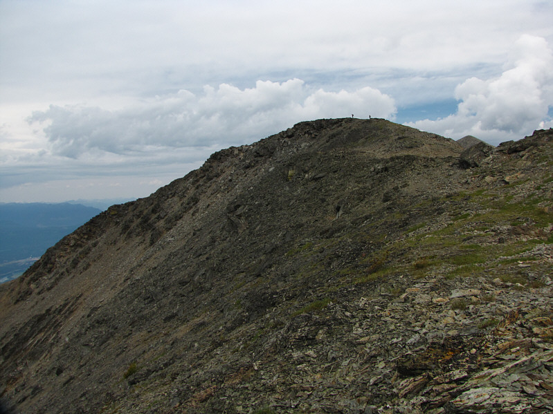
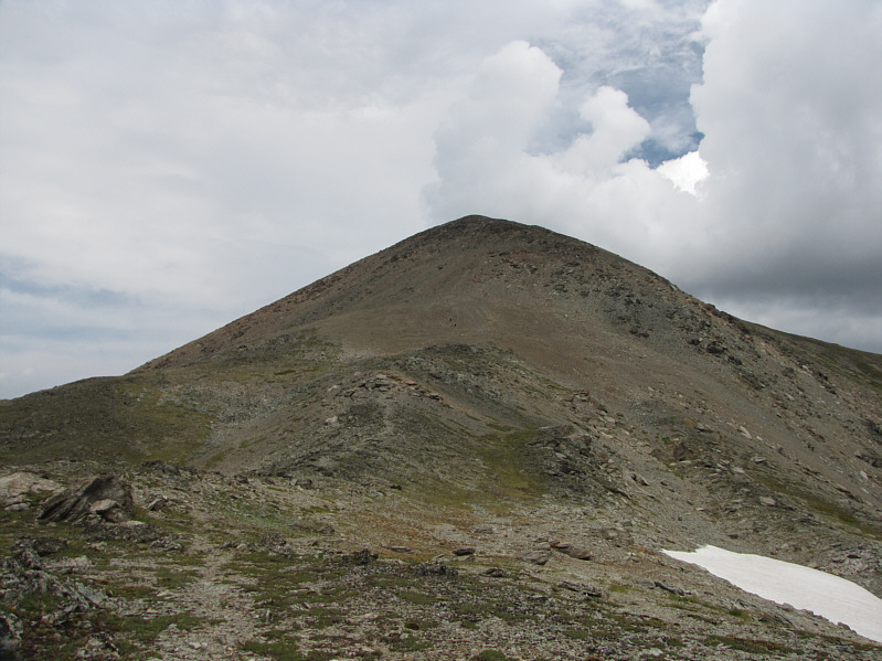
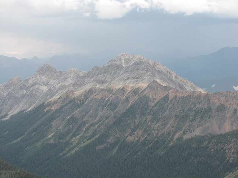
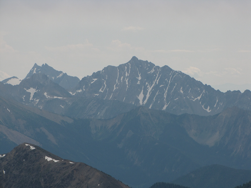
Furthermore, the lower peak at left is officially not Lakit Mountain.  All map sources designate a lower northwest outlier (not visible here) as being Lakit Mountain while Bivouac.com designates a lower southwest outlier (also not visible here) as the official peak.

No doubts about this one! Also visible to the south are the north end of The Steeples (far left) and Mount Fisher.
It's not worth sidehill bashing to avoid climbing back over Mount Stevens on the return trip.  Trust me! This is looking south toward Mount Stevens from the upper slopes of Teepee Mountain.
A rather odd place for a trail register since it's about a 5-10 minute hike from the trailhead. Bob signs the trip register not far from the trailhead.
The section from the gully to tree line is brutal both ways! This is the route as viewed in Google Earth. 
Should have put a waypoint as well for Mezzaluna Restaurant!

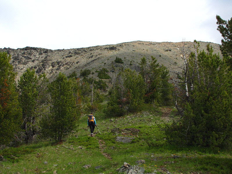
Total Distance:  14.9 kilometres
Round-Trip Time:  7 hours 20 minutes
Total Elevation Gain:  1502 metres

GPX Data