


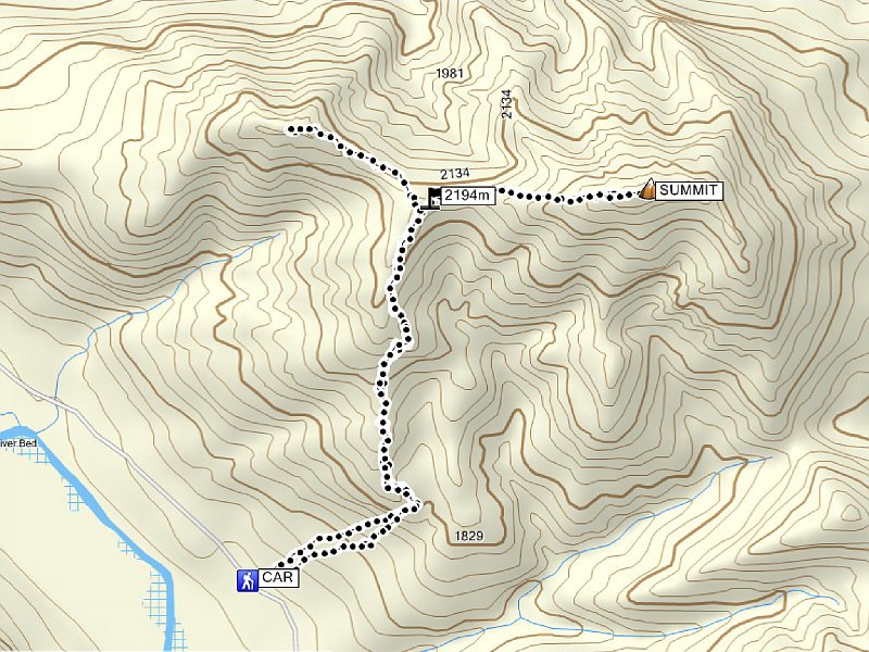
Total Distance: 7.7 kilometres (estimated)
Round-Trip Time: 6 hours 4 minutes
Net Elevation Gain: 843 metres
Be sure to check out Bob's and Dinah's photos here.
|
|
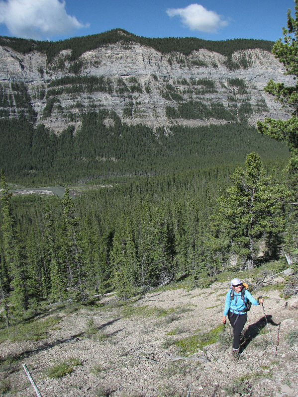
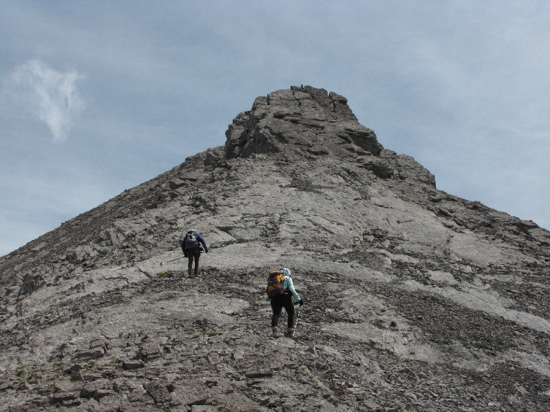
Dinah heads up the steep slope opposite Labyrinth Mountain. |
|
|
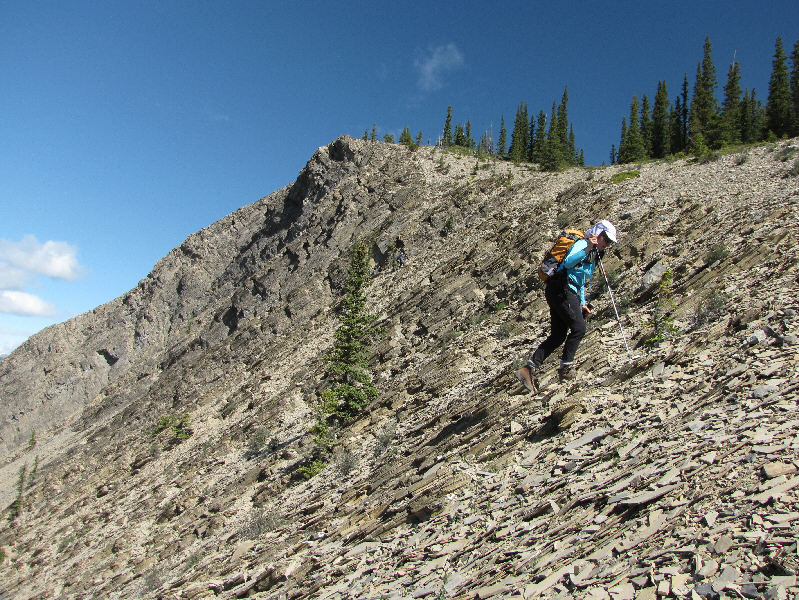
Dinah almost reaches the crest of the ridge. |
|
|
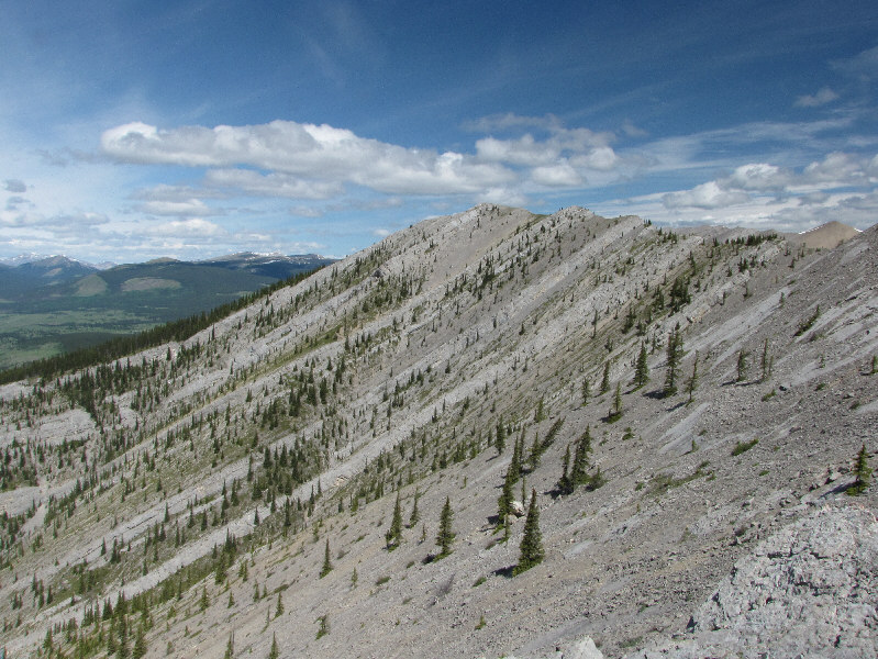
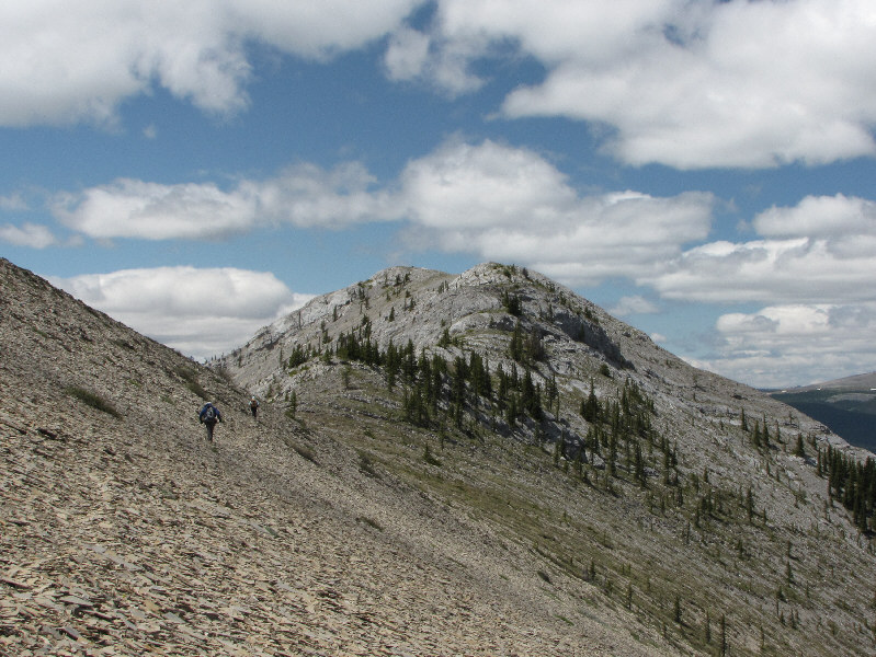
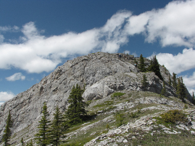
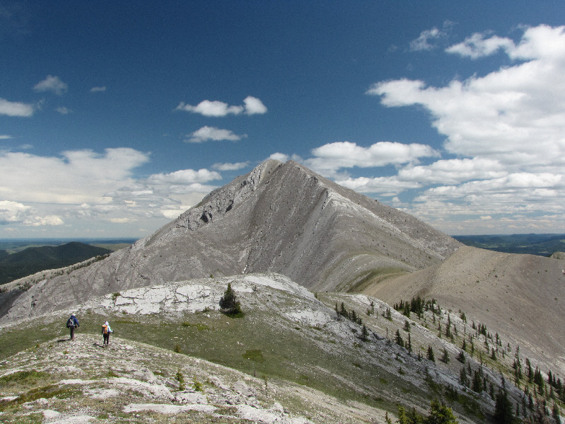
Here is the first clear view of Maze Peak from the ridge. The route goes up and over the bump on the far left and eventually climbs up the left skyline ridge. |
|
|
Bob and Dinah approach the base of the next steep section of the ridge. |
|
|
Dinah climbs up the steep slope. |
|
|
The rocky knob ahead can either be tackled head on or circumvented on the right. |
|
|
Bob scrambles up the rocky knob. |
|
|
Here is a view of Maze Peak's western outlier. |
|
|
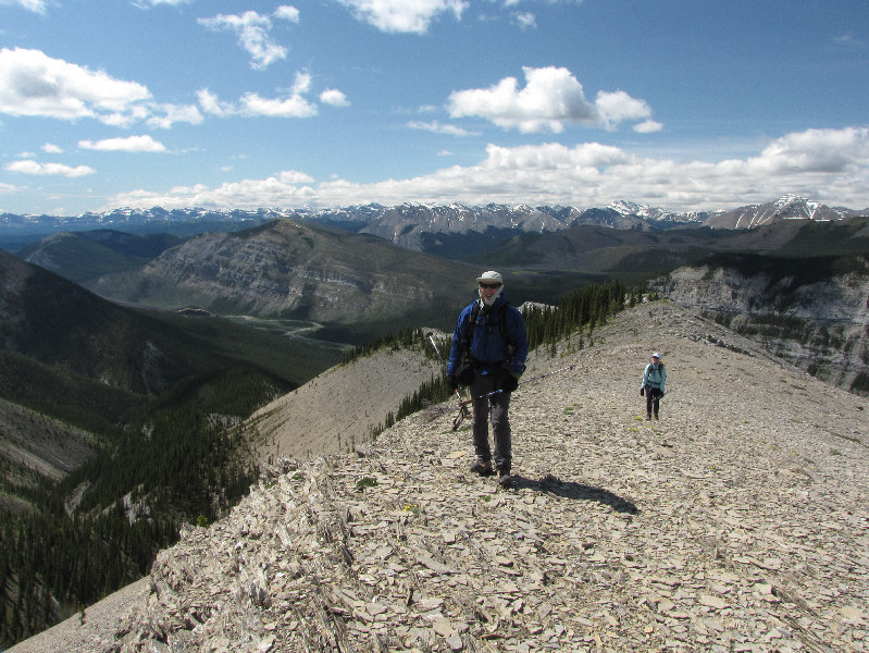
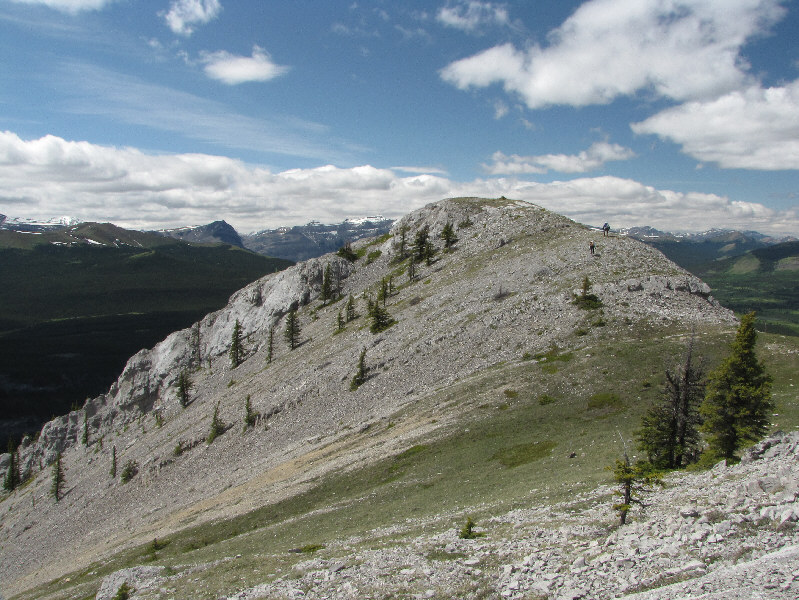
Bob and Dinah arrive at a minor high point (2194 metres) between Maze Peak and its western outlier. The peak at left in the distance is unofficially named Mount Minos (obviously named because of its proximity to Labyrinth Mountain). |
|
|
Dinah and Bob cross a broad saddle separating the minor high point and Maze Peak. |
|
|
This gendarme on the west ridge can also be tackled head on or circumvented on the right. |
|
|
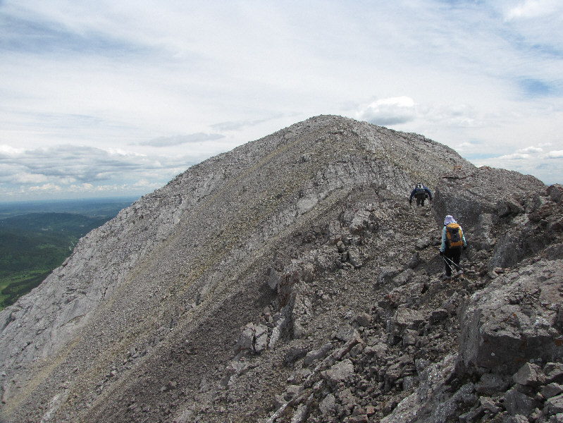
Bob and Dinah continue climbing up Maze Peak's west ridge. |
|
|
There are a few minor obstacles just before the summit. |
|
|
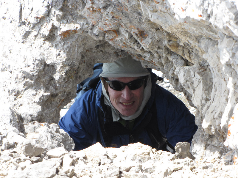
Bob discovers a small arch in the ridge. |
|
|
Sonny, Dinah and Bob stand on the 2397-metre summit of Maze Peak. |
|
|
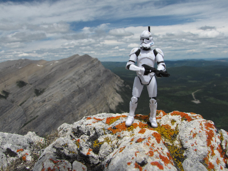
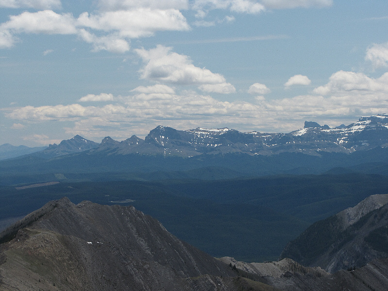
Some of the peaks visible on the southern horizon include Black Rock Mountain (far left) and Devils Head (right). |
|
|
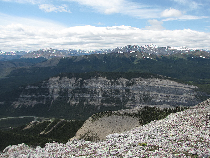
Labyrinth Mountain sits to the southwest. On the horizon at right is Barrier Mountain. |
|
|
Here is a closer look at Barrier Mountain. |
|
|
Warden Rock stands guard at the entrance to Banff National Park on the south side of the Red Deer River. |
|
|
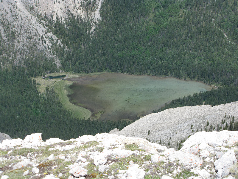
Immediately north is James Lake. |
|
|
This is looking west from the summit of Maze Peak. The western outlier is at right. |
|
|
On their way down, Bob and Dinah circumvent the gendarme on the west ridge. |
|
|
Dinah scrambles up a rock band to get back on route. |
|
|
Bob and Dinah hike along a convenient game trail toward the western outlier. |
|
|
Bob and Dinah climb up some short cliff bands. |
|
|
Dinah and Bob are nearly at the top of the western outlier. |
|
|
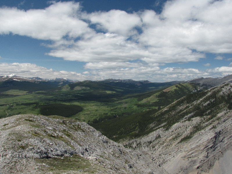
The western outlier grants a more comprehensive view of Eagle Lake and James Pass to the north. |
|
|
This is the view to the northwest. |
|
|
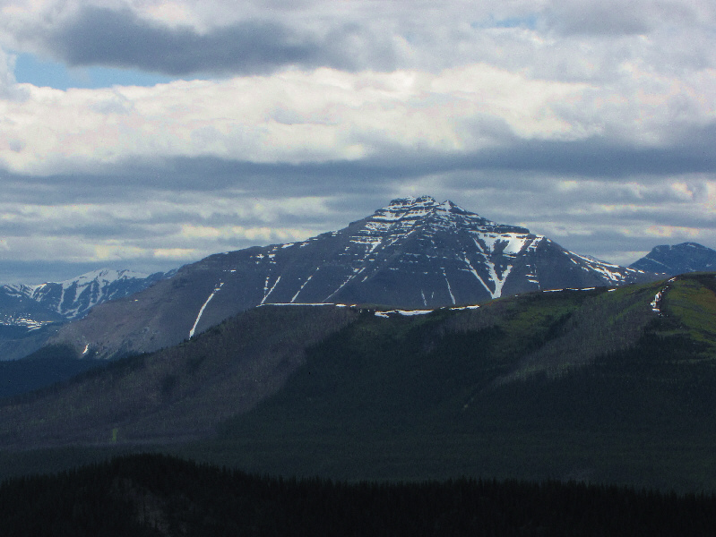
The prominent peak to the southwest is Dormer Mountain. |
|
|
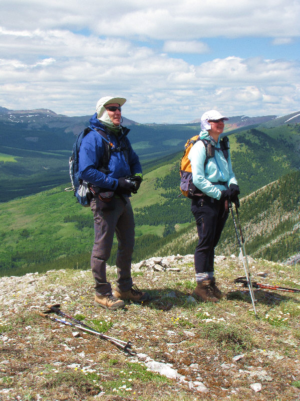
Bob and Dinah admire the views from the top of the western outlier. |
|
|
This is the view of Maze Peak from its western outlier. |
|
|
These mountain avens were among the many wildflowers in bloom on this day. |
|
|
Total Distance: 7.7 kilometres (estimated) |