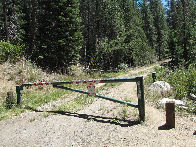
Anticipating a relatively short day, I left my hotel somewhat late in the morning, but the drive to the trailhead along the western shore of Lake Tahoe turned out to be longer than expected due to heavy traffic and multiple construction delays. To make matters worse, the route description from Summitpost.org contains an error (there is an addendum, but I had missed it on my initial read), and as a result, I wasted about an hour hiking up the "wrong" trail. Actually, this was the trail to Armstrong Pass, and though it is entirely feasible to climb Freel Peak from the pass, this route adds considerable extra distance to the hike (this trail is popular with mountain bikers, and some of them probably climb Freel Peak as a bike and hike using this route). The actual Trout Creek approach forgoes the trail and continues instead along the main access road beyond a locked gate. There are some "no trespassing" signs here which can be cause for confusion. The road actually goes across private property, but according to the author from Summitpost.org, the owner is apparently okay with hikers passing through as long as no one camps in the area.
Regardless of the veracity of the previous statement, I hiked up the road anyway to a point where it turns northeast up a tributary of Trout Creek and disappears amidst some deadfall and bushes. With some persistence, I found a faint, overgrown path which eventually strengthened into a decent trail climbing steeply alongside the tributary. Some sandy sections higher up were somewhat challenging to hike because of the poor traction they afford, but I eventually grinded my way up to a high saddle where the route intersects the Tahoe Rim Trail. From here, a signed side trail branches off to the southeast and leads to the summit of Freel Peak. The trail is heavily braided on the lower part of the ridge, but most paths converge higher up into a single clear route to the top. I saw a handful of people on this upper section, but it looked as though most of them, especially those that wore cycling gear, had come up via other approaches.
I spent about half an hour at the summit before retracing my steps
down the mountain. The sandy sections that had given me trouble on
my ascent proved to be advantageous on descent as I could easily
plunge-step through them and lose elevation quickly. After an
uneventful hike back to my car, I drove out and followed the eastern
shore of Lake Tahoe before turning east to head for Reno via Carson City.
It was a shame that I did not have time to explore more of the beautiful
Lake Tahoe Basin, but I am confident that I will return in the near
future.
|
|
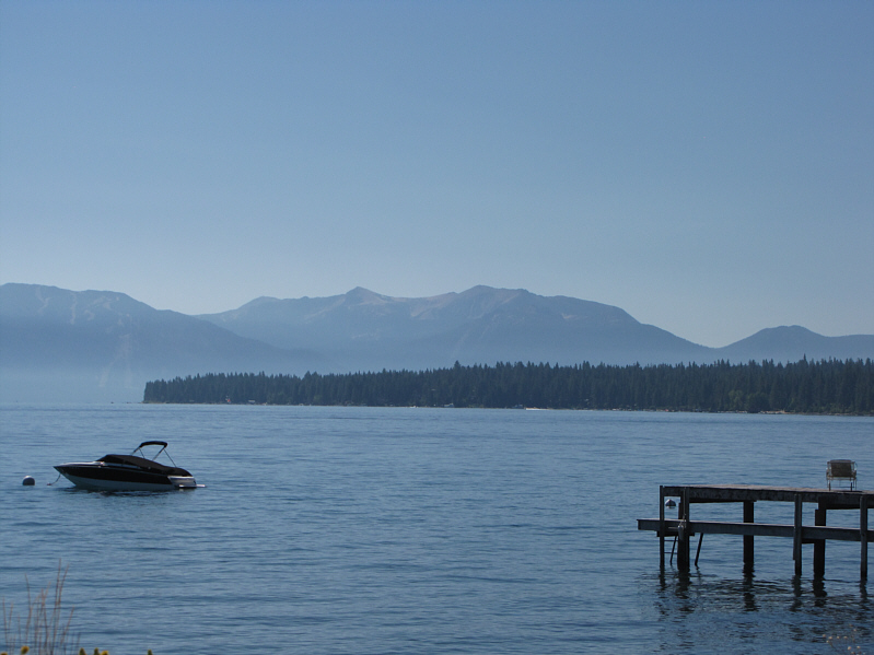
Freel Peak (right of centre) is visible from the west side of Lake Tahoe. |
|
|
This forbidding gate marks the start of the Trout Creek approach. |
|
|
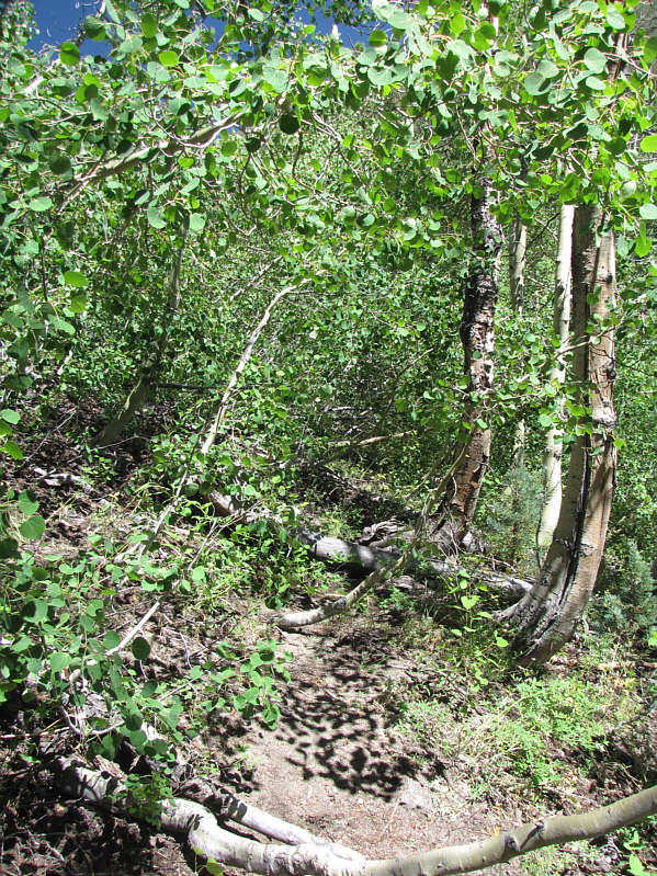
The trail can be difficult to follow in places. |
|
|
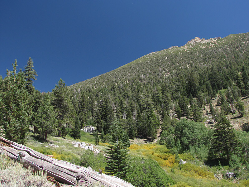
Some breaks in the trees grant this view of Freel Peak's west face. |
|
|
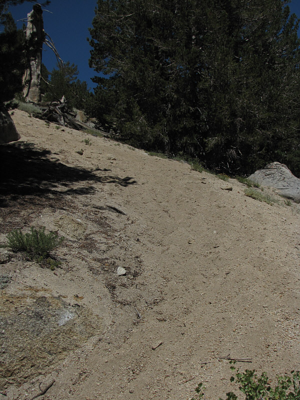
Much of the trail higher up is nothing but loose sand. |
|
|
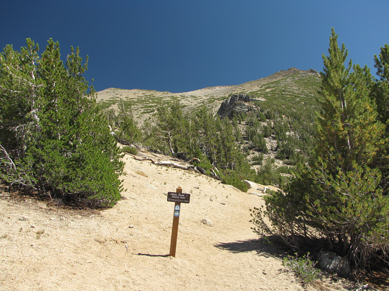
At the saddle is the junction between the Tahoe Rim Trail and the trail to Freel Peak. The summit of Freel Peak is visible at left. |
|
|
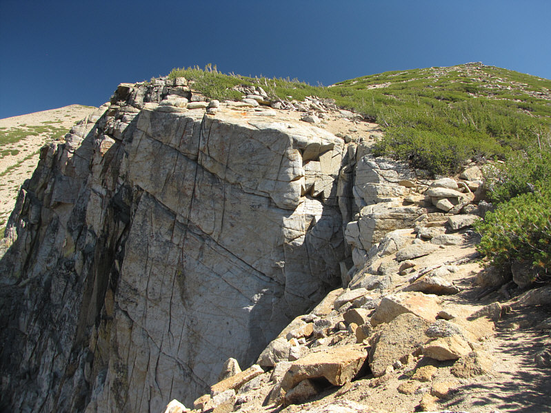
Some impressive cliffs can still be found on this generally innocuous-looking mountain. |
|
|
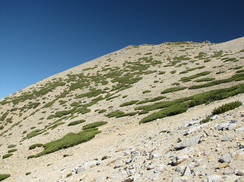
Gentle slopes and a good trail provide easy access to the summit. |
|
|
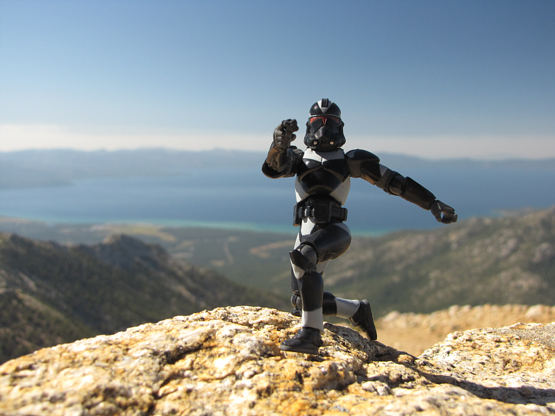
Sonny stands on the 3294-metre summit of Freel Peak (the official elevation is closer to 3317 metres). |
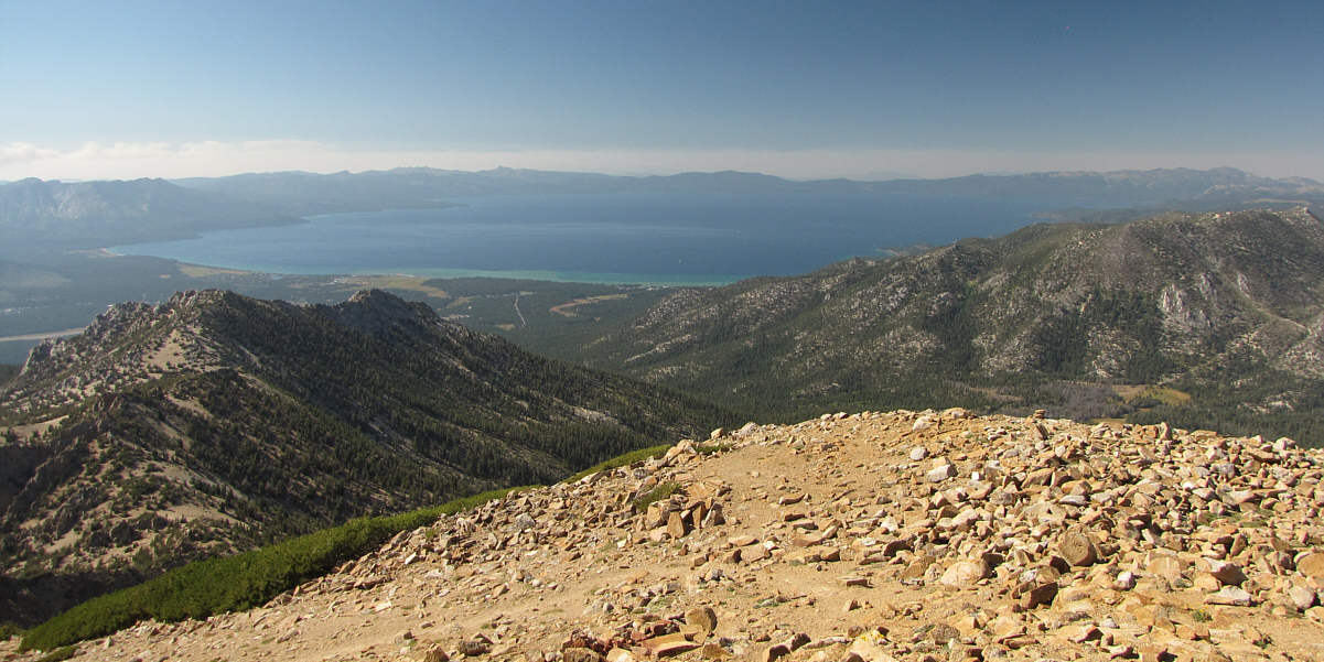
Lake Tahoe captures all the attention to the northwest.
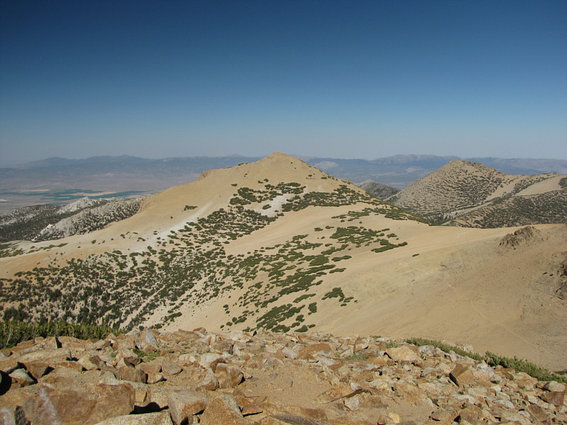 |
Jobs Sister to the east is only about 17 metres lower than Freel Peak. |
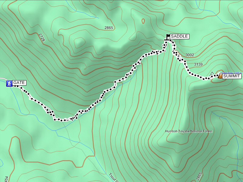 |
Total
Distance: 15.5 kilometres Round-Trip Time: 5 hours 27 minutes Net Elevation Gain: 943 metres |