|
|
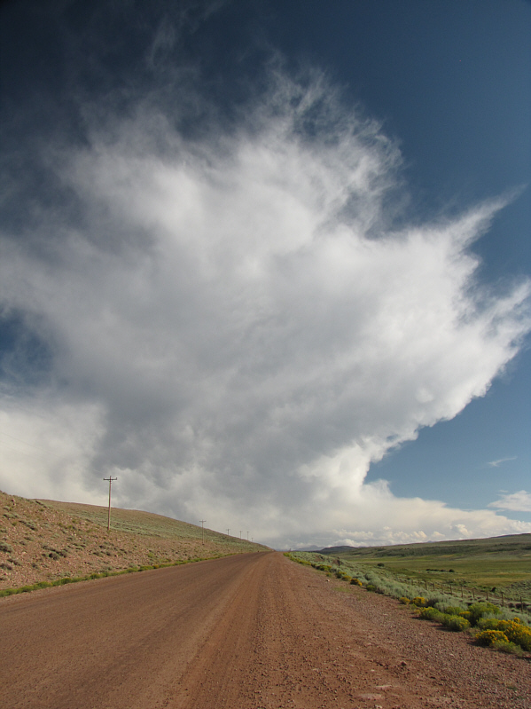
Big clouds hang over the gravel road to Henrys Fork campground. |
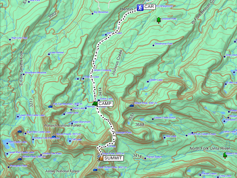
Dollar Lake is not readily visible from the main trail, but I knew that I had arrived upon seeing the plethora of tents pitched all over the place. At a fairly leisurely pace, it had taken me about four hours to reach Dollar Lake. Although I had originally planned on tagging the summit the next day, I figured that I had so much daylight left that I may as well go tag it now. I quickly set up camp, and after taking a break, I continued along the main trail which at this point begins to climb up to Gunsight Pass. Shortly after leaving camp, I overtook a couple of teenaged boys who looked a bit lost and maybe a little out of their element. One of them asked me where Gunsight Pass was, and when I pointed it out to him, he mentioned that he and his friend were part of a boy scout troop that had somehow left the two of them behind. That left me pondering a bit about their troop leader(s), but I simply reassured the two boys that if they stayed on the trail they would eventually reach the pass and hopefully rejoin their troop. As those words left my mouth, I noticed how ill-equipped the two of them were for hiking, and if I had been thinking more clearly, I would have suggested that they turn around and head back to their camp, presumably at Dollar Lake, to wait for their troop's return. They ended up turning around anyway after only a few more minutes of walking, and I was free to hike the rest of the way to Gunsight Pass with a clear conscience.
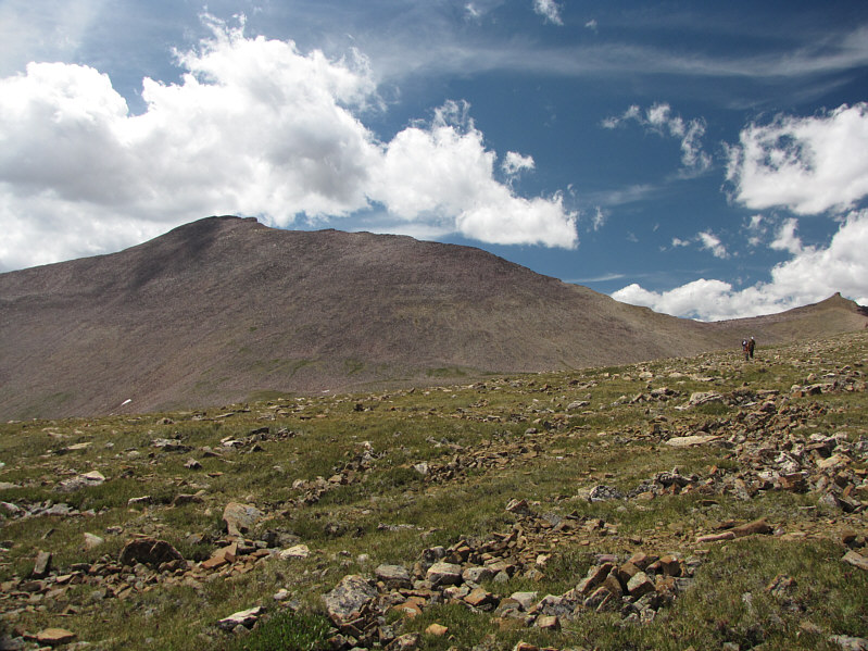
From Gunsight Pass, the normal route follows the trail down into Painter Basin before climbing back up to Anderson Pass. Most people opt for a shortcut that contours more or less around the east side of the unnamed ridge just southwest of Gunsight Pass. This saves some elevation loss and significant distance. Since I abhor any elevation loss, I decided to take the shortcut which entails a little bit of scrambling but is well-marked and easy to follow. Upon rounding the unnamed ridge, I got my first close-up view of Kings Peak which, from this angle, looks disappointingly like a big pile of scree. Furthermore, the entire area was teeming with people...lots and lots of people. High-pointers, trail runners, boy scout troops--all were present in abundance. A steady stream of figures were visible going up and down Kings Peak's north ridge not unlike the biblical Jacob's Ladder. Although the mountain looked really close, I still had to cross a large basin to reach Anderson Pass and the start of the north ridge. This took far longer than expected largely because the basin's terrain, which looks innocuous from a distance, is littered with ankle-twisting rocks of all shapes and sizes. Tedious, tiresome, and time-consuming would all aptly describe the hike across the basin. I made better progress once I regained the trail coming from Painter Basin. From Anderson Pass, the north ridge is mostly a Class 2 scramble over big boulders although a few Class 3 sections can be found by sticking closer to the ridge crest. Nearly five hours after leaving my camp at Dollar Lake, I finally stepped onto the highest point in UT.
After staying for nearly an hour at the top, I began retracing my steps back to camp. I was one of the last people to summit for the day, and by the time I got back down to Anderson Pass, the number of people in the basin had thinned out considerably. Some distance below Anderson Pass, I ran into the three young guys I had followed into Dollar Lake earlier that morning. They had procrastinated for quite awhile back at Dollar Lake before deciding to go after the summit, and now they were still a couple of hours from the top and possibly hard-pressed to make it there before sunset. Nevertheless, I wished them well and continued descending the trail. Getting back across the large basin was a little less painful on the return because I had picked out a better route that was less rocky. Fatigue, however, was now starting to slow me down. Worse, I had developed a huge blister on one of my toes and made the mistake of lancing it before getting back to camp. The affected foot became ultra-sensitive to the rigours of off-trail hiking, and I slowed down even more in an effort to minimize the pain. Despite these problems, I managed to hobble back to Gunsight Pass where I settled into a long but easy stumble back to camp. Just below Gunsight Pass, I encountered a trail runner, presumably the one who was trying to set a record. I watched him incredulously as he jogged past me still going strong.
The round trip to the summit from my camp at Dollar Lake had taken me
a whopping ten hours. I was very thankful that I did not have to hike
back to the trailhead that evening. I treated myself to some fried
chicken for dinner before hitting the sack happy in the knowledge that
most of the hard work for this trip was behind me.
 |
Kings Peak (right of centre) comes into view along Henrys Fork trail. |
 |
The scree ramp below Kings Peak is a more direct but less popular ascent route. Dollar Lake is hidden in the trees at left. |
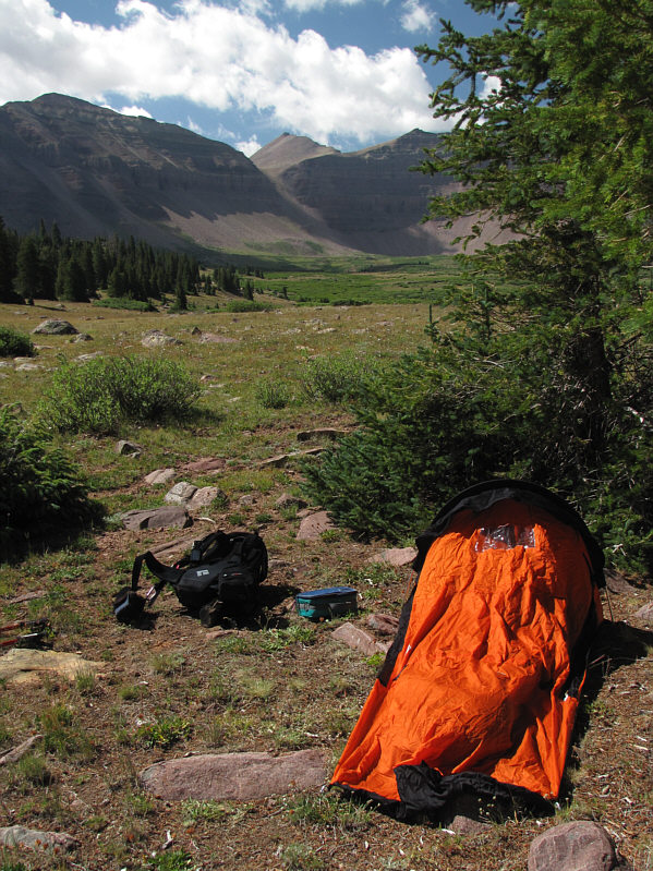 |
There is a nice view of Kings Peak from Sonny's camp near Dollar Lake. |
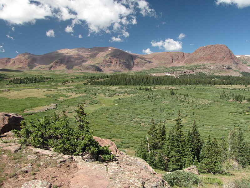 |
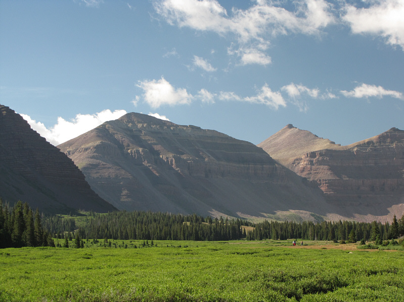
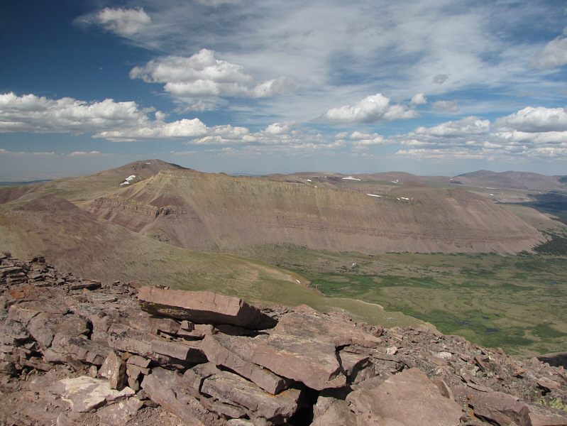
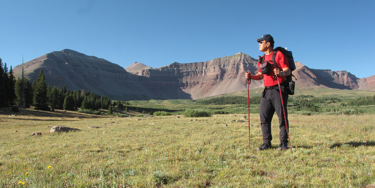
Across Henrys Fork basin are Mount Powell (left) and Flat Top Mountain (far right). |
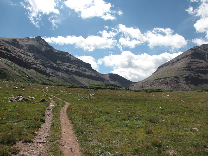 |
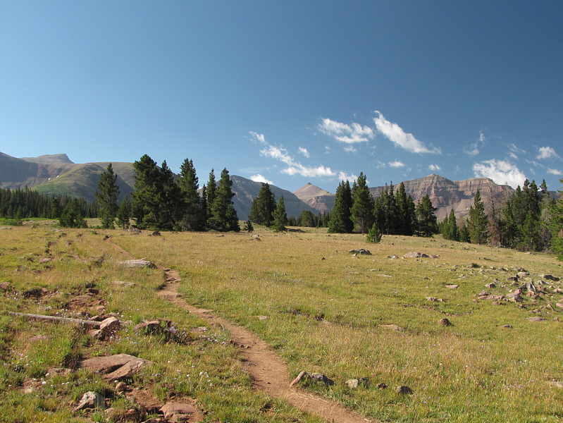
The double track heads toward Gunsight Pass. |
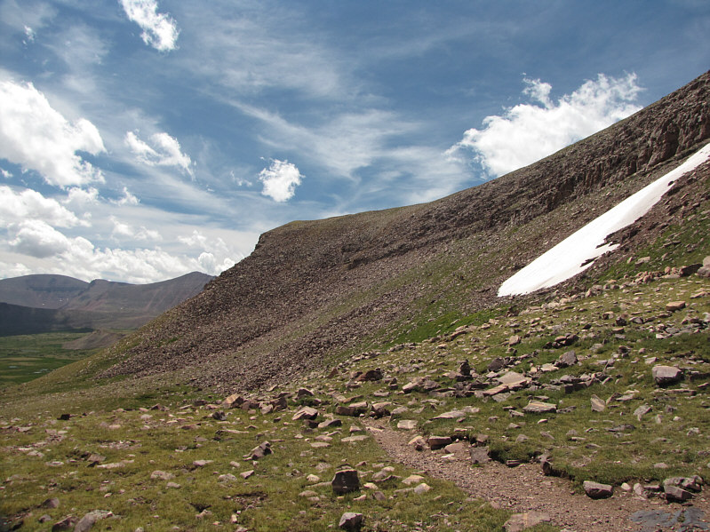 |
The shortcut route from Gunsight Pass climbs over the ridge ahead. Painter Basin is visible at far left. |
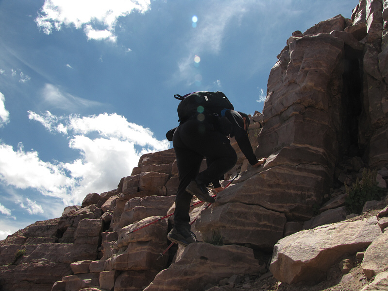 |
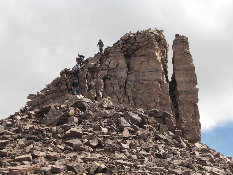
The shortcut entails a little scrambling. |
 |
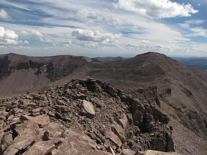
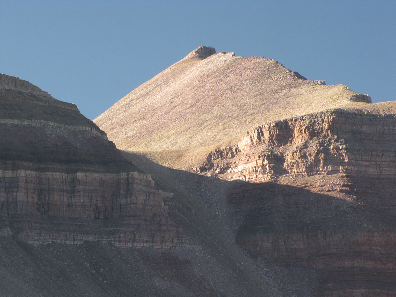
This is the first close-up view of Kings Peak with Anderson Pass on the right. |
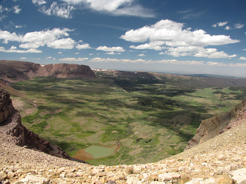 |
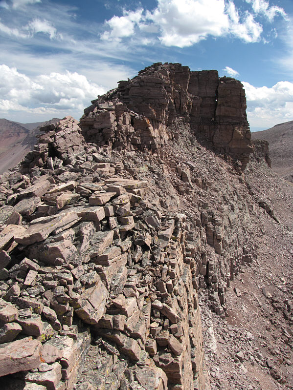
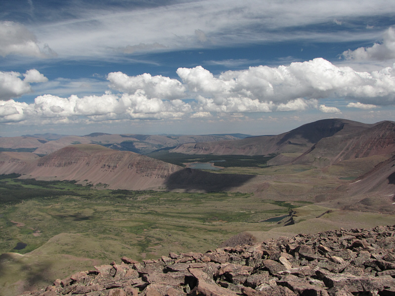
Here is a comprehensive view of Henrys Fork basin from the top of the scree ramp near Anderson Pass. |
 |
Some hikers descend from Kings Peak's north ridge in this view from Anderson Pass. |
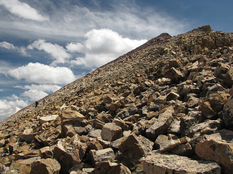 |
More hikers descend the Class 2 terrain along Kings Peak's north ridge. |
 |
Though entirely avoidable, this Class 3 section is fun to scramble up. |
 |
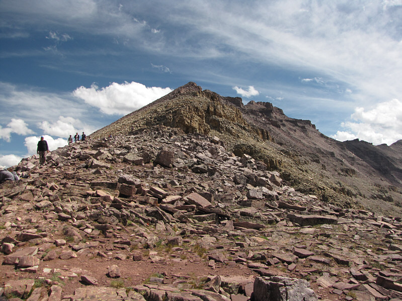
The final summit block is in sight. |
 |
Sonny stands on the 4121-metre summit of Kings Peak, highest point in UT. |
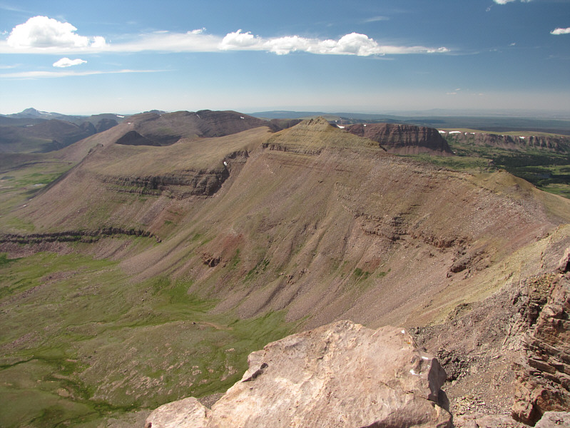 |
Mount Powell (left) and Flat Top Mountain (right) are both visible beyond the unnamed northwest outlier of Kings Peak. At far left on the horizon is Tokewanna Peak. |
 |
Gilbert Peak is barely visible above an intervening ridge to the northeast. At bottom right is Painter Basin. |
 |
To the southeast are Lake Atwood (centre) and Mount Emmons (right). |
 |
South Kings Peak (right), which is less than 5 metres lower than Kings Peak, was once thought to be the highest point in UT. |
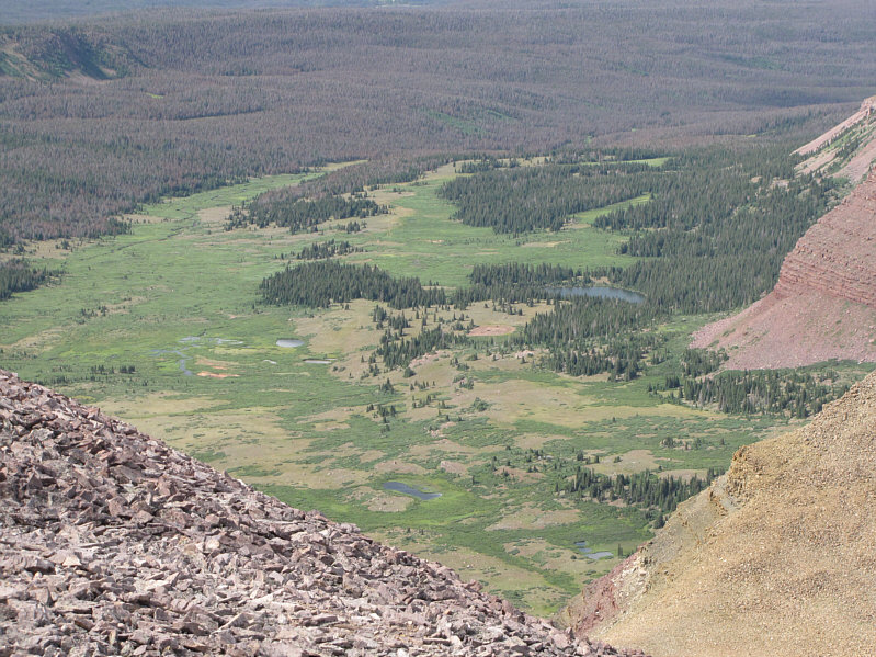 |
From the slopes of Kings Peak, Dollar Lake is barely visible in the trees at right. |
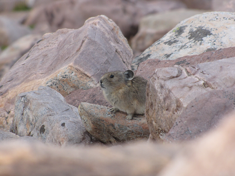 |
A pika "cheers" Sonny on along the trail near Gunsight Pass. |
 |
The setting sun lights up an unnamed ridge near Dollar Lake. |
Unlike my trip to Granite Peak where I hiked mostly in solitude, my trip to Kings Peak was a drastically different experience. With all the high-pointers, boy scout troops, trail runners, lost boys, families, little French bulldogs, Mormons (I never asked, but I bet there were a few), and double-leg amputees (okay, I only saw one), Kings Peak had a real carnival-like atmosphere. For a solo traveler like myself, it was fun to socialize with a wide variety of people on the trail, and despite the disparate backgrounds and abilities of all those that I met, I found reassurance in knowing that the enjoyment of climbing mountains is not exclusive to an elite few but is truly shared by many.
Sonny is packed up and ready to hike back to the trailhead.
 |
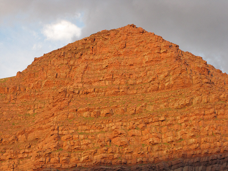
Here is a last look at Kings Peak. |
 |
Total
Distance: ~39.2 kilometres Round-Trip Time: 29 hours 12 minutes Net Elevation Gain: 1248 metres |