BOU AVENUE
Yak Peak

One day after climbing Needle Peak, I was back at British Columbia's Coquihalla Summit Recreation Area to tag Yak Peak on 24 August 2014.  Although Needle Peak is higher and more popular with hikers, Yak Peak is the mountain that everybody sees as they drive past the Zopkios Rest Area along Highway 5.  The spectacular south face likely attracts a lot of attention from technical rock climbers, and consequently, their descent route doubles as an easy, non-technical ascent route for scramblers like myself.  Following the description in Matt Gunn's Scrambles in Southwest British Columbia, I hiked eastward from the rest area along the north side of the highway for nearly a kilometre before turning left onto the slightly overgrown access trail.  The trail drops down initially to cross a marshy area before climbing in earnest up the forested slope.  Emerging at the bottom of a large boulder field, I followed cairns and flagging to reach the base of Yak Peak's immense south face.  I then contoured eastward along the base for about 150 metres before resuming my upward progress.  The route here is relentlessly steep; one section even has a fixed rope to aid both in ascent and descent.  The angle eases somewhat at the sub-alpine meadows immediately below a sub-peak of Yak Peak.  Fairly straightforward hiking led me over a permanent snow patch to a saddle separating the sub-peak from Yak Peak's summit block.  I quickly dashed over to tag the sub-peak before returning to the saddle and proceeding up to the main summit.  The final 70-metre thrash is not as straightforward as it would appear, but thankfully the bushes along the route make good handholds!  After relaxing on the summit for about an hour, I carefully retraced my steps and descended the mountain without any problems.  I would spend the night again in the nearby town of Hope before heading home the next day to conclude a generally satisfying two-week road trip.
No need for an early start on this one! 
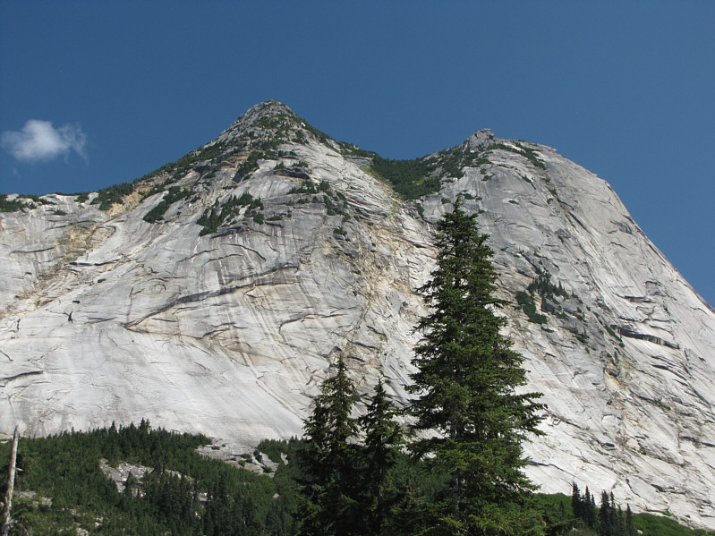
Yak Peak's two distinct summits are readily seen from the Zopkios Rest Area.
Look up, look waayyyy up! 
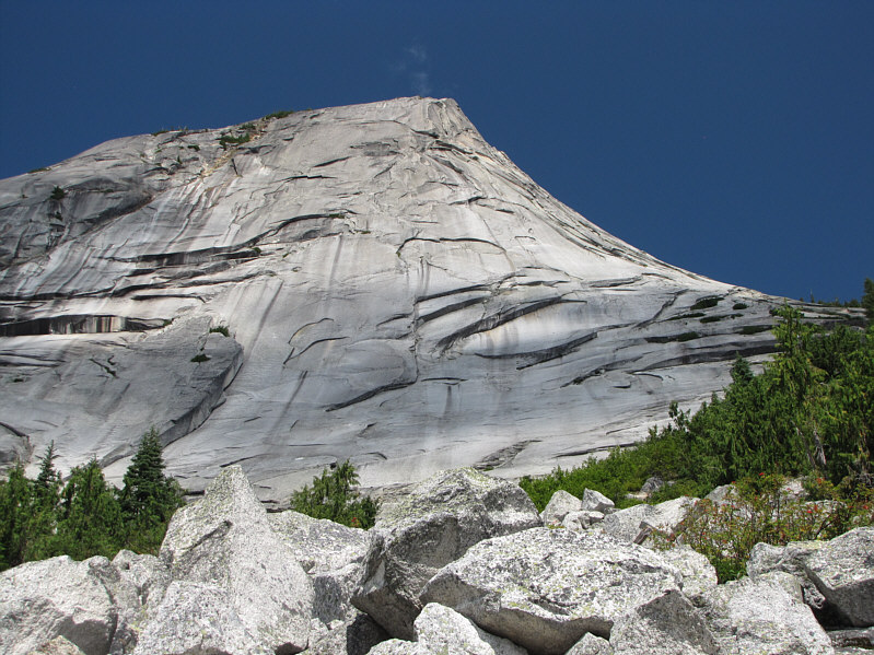
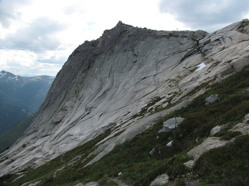
This is looking up the south face of the sub-peak from the approach up a boulder field.
Feels great to hike in shorts again! 
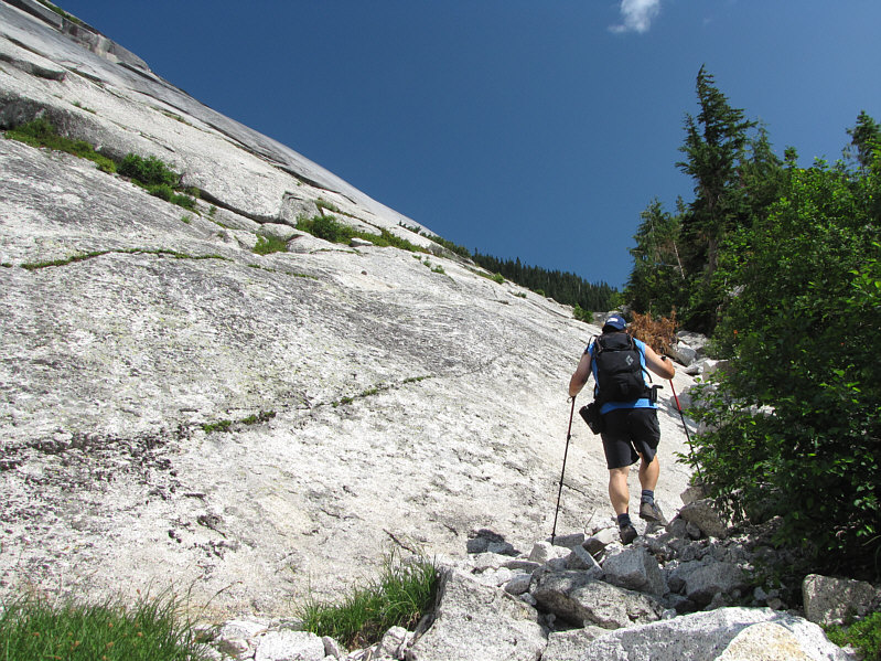
Sonny skirts along the base of the south face.
Maybe an ice climb in winter? 
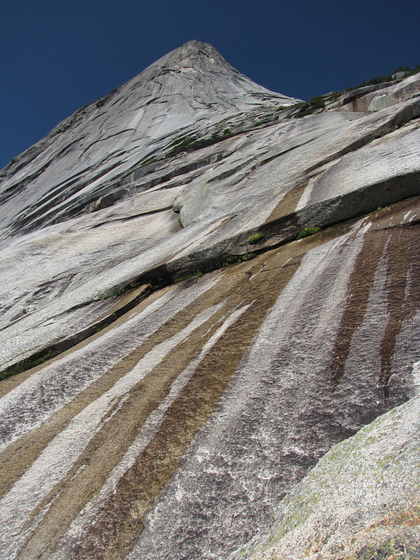
The sub-peak looms above as water drips down the south face.
Not as steep as the section before, but this part is still a grind... 
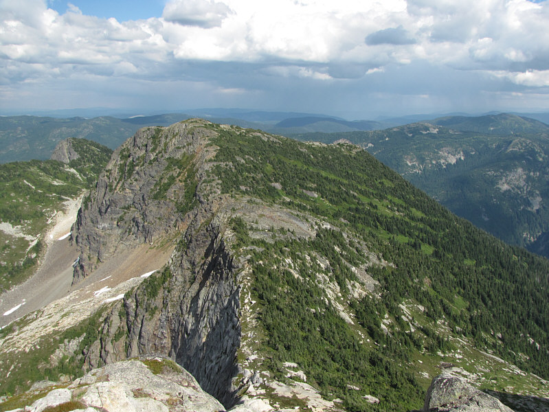
Sonny reaches the sub-alpine meadows below the sub-peak (left).  The bump on the right is the summit.
Eh? What's with all these bloody clouds rolling in?? 
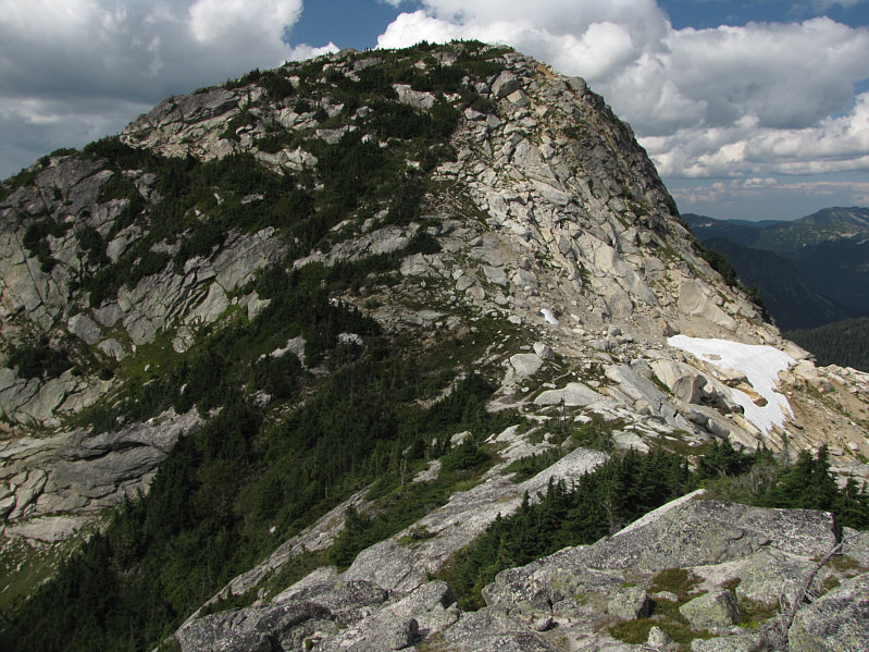
Here is a different perspective of the sub-peak.
Tagged another nub! Sonny stands on top of the sub-peak (1979 metres).
Lotsa bush-grabbing ahead! 
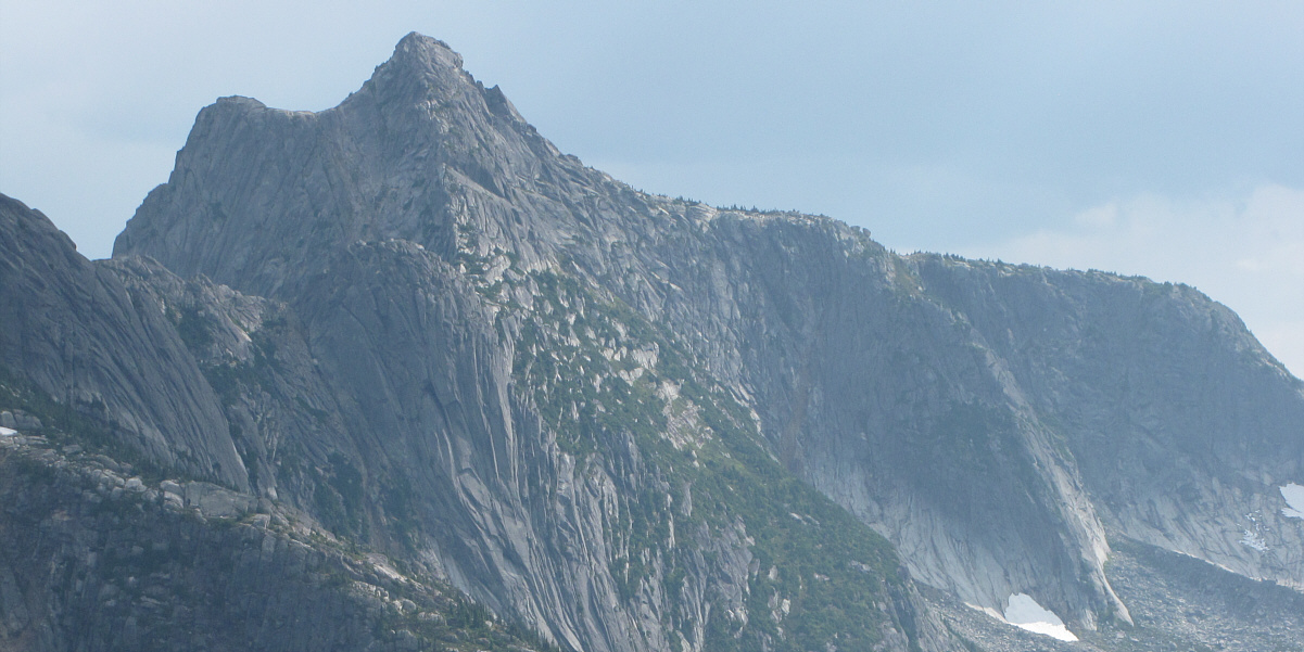
Here is the summit as seen from the sub-peak.
Seems like I was there only yesterday... 
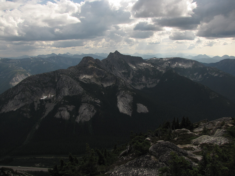
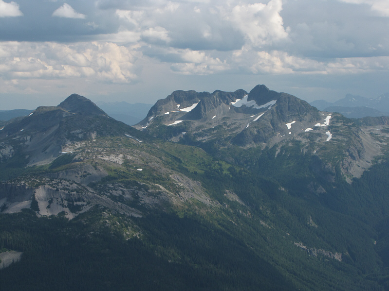
Needle Peak stands out to the south.
Looks more magnificent from afar! Here is a closer look at Needle Peak.
I think the views from the sub-peak were nicer... This is looking back at the sub-peak from the summit.
Maybe I should have lingered there a bit longer... A technical climber tops out on the sub-peak.
I posted a picture on Facebook from here! Sonny stands on the 2028-metre summit of Yak Peak.
That's "Guanaco", not "Guano"!! The peaks of the Anderson River Group are visible to the northwest and include Alpaca Peak (centre), Vicuna Peak (right) and Guanaco Peak (far right).
Yeah, I just didn't feel like bagging Nak today, but I will probably be back... To the east is Nak Peak.
More peaks to bag in the future! Jim Kelly Peak (left) and Coquihalla Mountain are visible to the southeast.

Looks scaly, like a dragon!

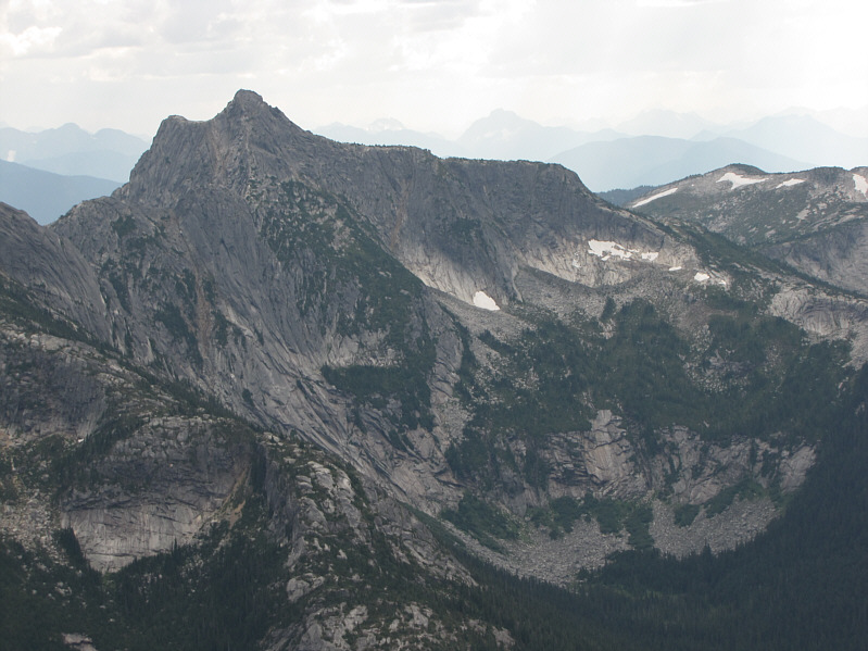
Needle Peak deserves another look.

The rope is not absolutely necessary, but it helps nonetheless! 
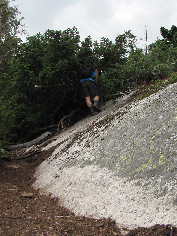
Sonny descends a steep slab on a fixed rope.
I can hear the HAL9000 singing that song... 
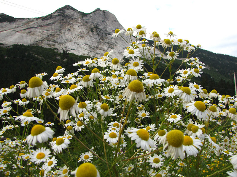
Daisies are abundant along the highway below Yak Peak.

Nice to bag a peak that is so prominently visible from the highway.

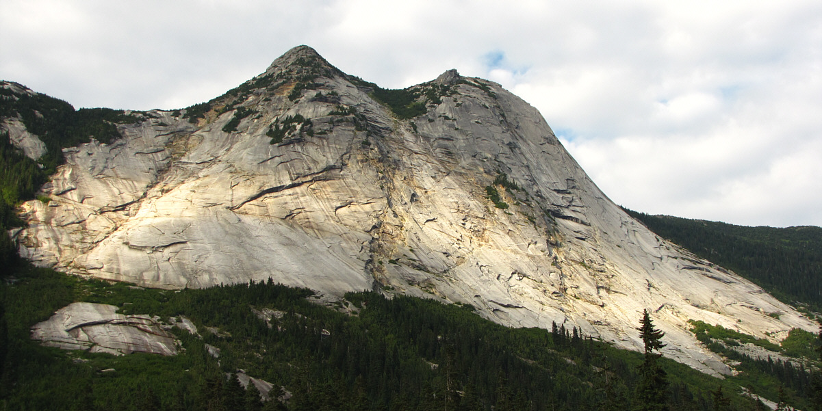
Here is a last look at Yak Peak from the rest area.

A satisfying end to my summer vacation in BC. Total Distance:  7.2 kilometres
Round-Trip Time:  6 hours
Net Elevation Gain:  832 metres

GPX Data