BOU AVENUE
Black Mesa
After I took up Bob Spirko's invitation to join him and Dinah Kruze for a stay at their condo in Las Vegas, Nevada, we started our week off with a hike up Black Mesa in Lake Mead National Recreation Area on 18 October 2015.  Flash flood warnings in the region prompted us to stick with a short drive and an easy hiking objective, and Black Mesa filled the bill nicely.  We essentially followed Jim Boone's route which entails climbing up the east side of Black Mesa and completing a loop by descending the west side.  Although Black Mesa could conceivably be climbed up from any direction, we used Boone's GPS waypoints and encountered no difficulties whatsoever.  Even the weather cooperated as we enjoyed mostly sunny skies over us for the duration of our trip (a torrential downpour would hit the Las Vegas area much later in the day).  Despite its low elevation, Black Mesa grants some surprisingly nice views and merits some attention as an easy half-day hike.

Be sure to check out Bob's trip report.
Time to retire the old eTrex, Dinah! Bob checks Dinah's GPS near the trailhead.
I thought we wanted to avoid washes? 
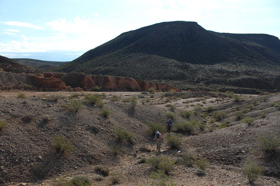
Dinah and Bob drop down into a wash as they head toward Black Mesa.
Not a good place to be in a flash flood! Dinah prepares to step over a puddle of water in a narrow side wash.
There's a summit on this flat top? 
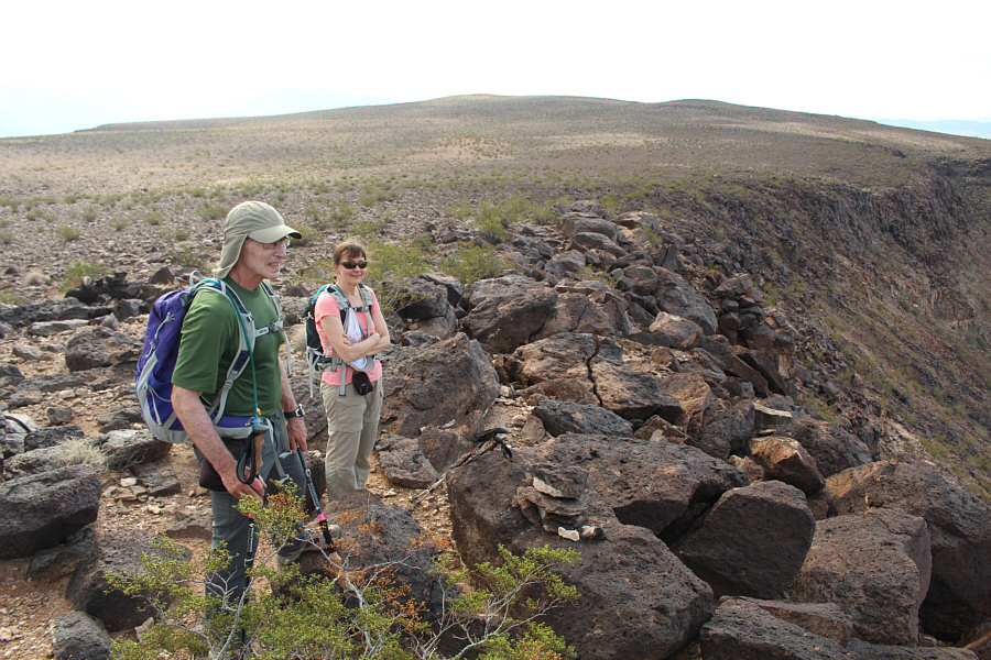
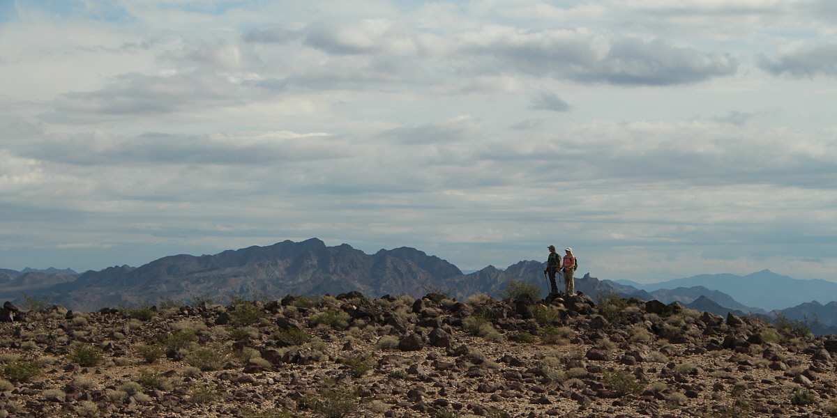
Bob and Dinah pause near a cairn to admire the views.  The summit of Black Mesa is on the horizon.
A couple more short and easy trips to do in case of flash flood warnings. Lava Butte and Frenchman Mountain stand out to the west.
The Muddy Mountains will likely be a long day for me in the future... 
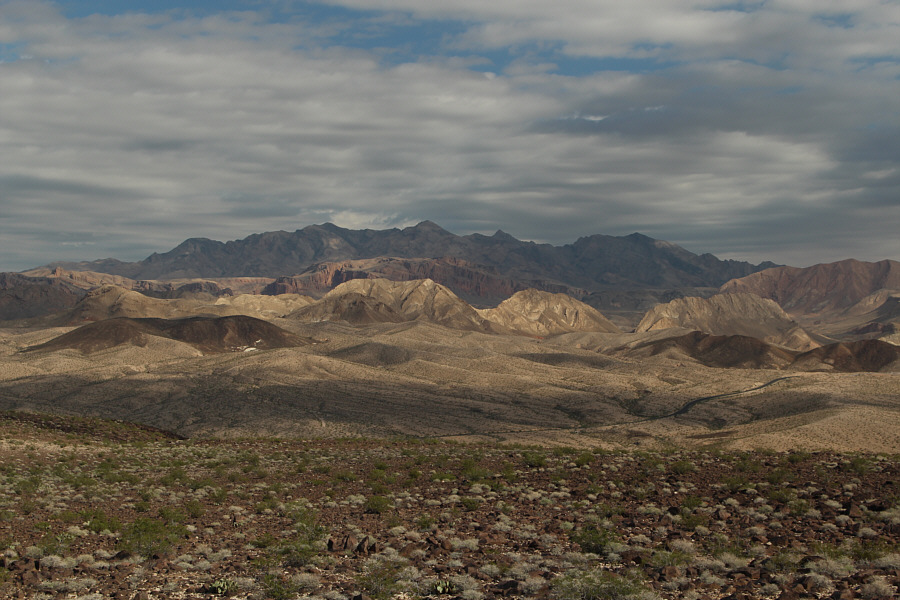
Clouds persist over the Muddy Mountains to the northeast.
Lake Mead may not be around for long... Fortification Hill (flat top right of centre) sits to the south across Lake Mead.

 Not the most glamourous summit, but a summit nonetheless!

Bob and Dinah reach the summit (668 metres) of Black Mesa.


It's all about standing on the tallest boulder at this summit! Bob, Dinah and Sonny pose for a group shot at the summit of Black Mesa.
One more look at Lake Mead before it disappears... 
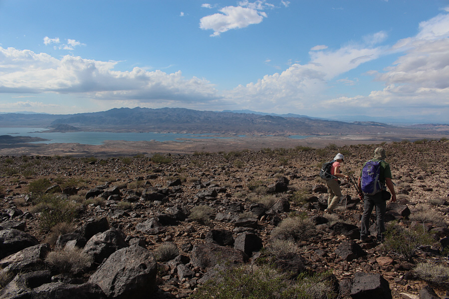
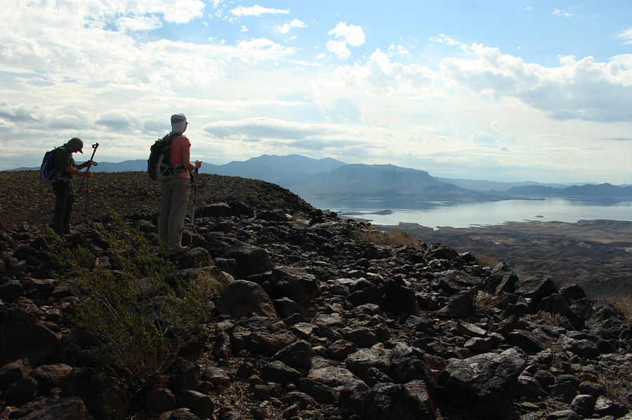
Dinah and Bob leave the summit for the start of their return trip.  The western end of Lake Mead can be seen in the distance.
Easy stuff. Bob and Dinah descend the west side of Black Mesa.
Really enjoyable hiking here. 
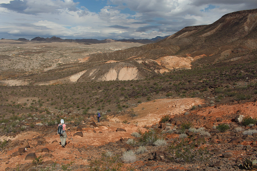
Dinah and Bob continue their descent down the west side of Black Mesa.  The highway is barely visible in the distance.
Reminds me of meat. 
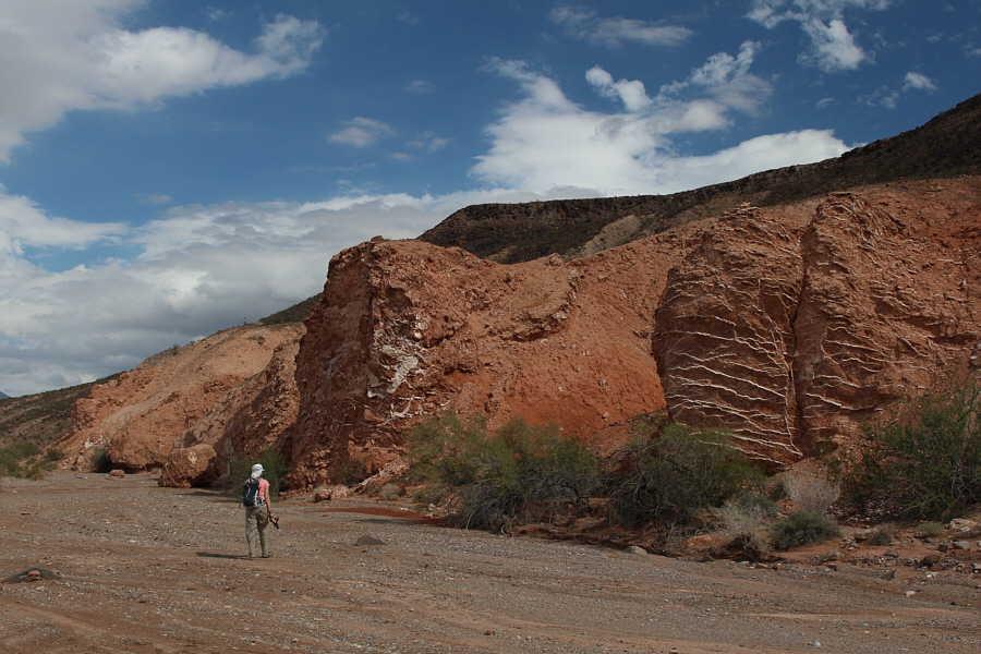
On her way out along a wash, Dinah passes some rocks with interesting striations.  These are gypsum veins according to Boone.
Where's Gordon Freeman?? Total Distance:  6.3 kilometres
Round-Trip Time:  3 hours 17 minutes
 Net Elevation Gain:  184 metres

GPX Data