 |
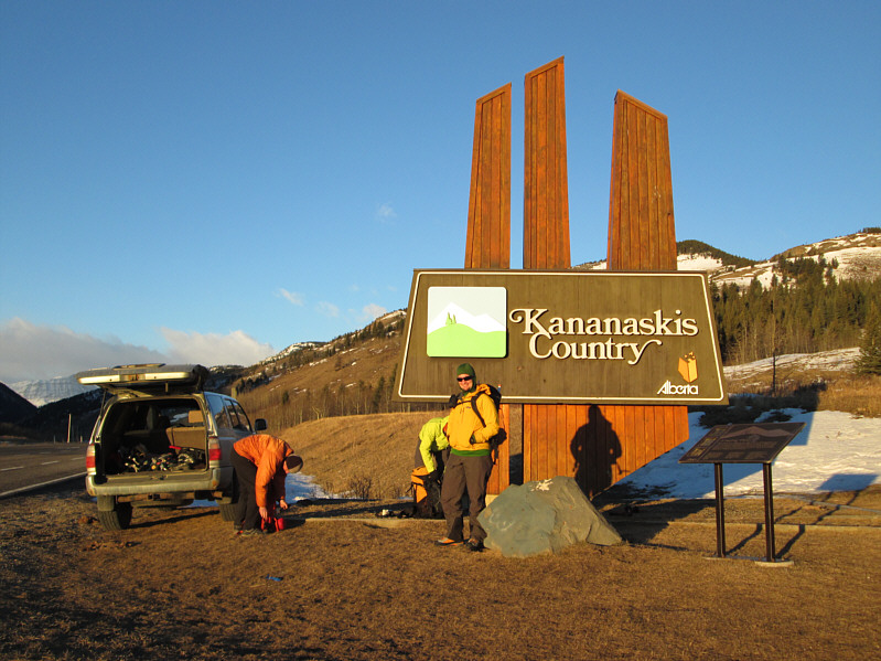
Everyone gears up beside the park sign. |
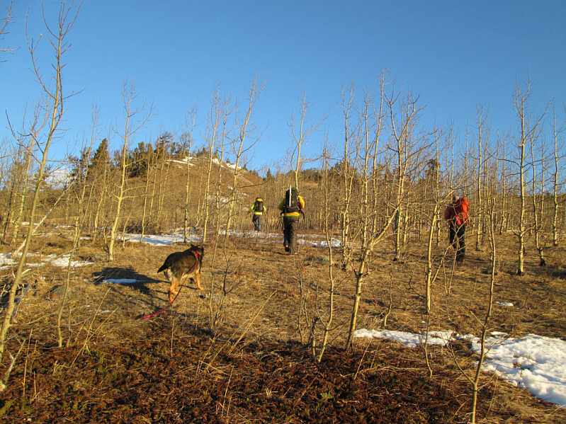 |
Crux faithfully follows the group up the lightly-wooded hillside. |
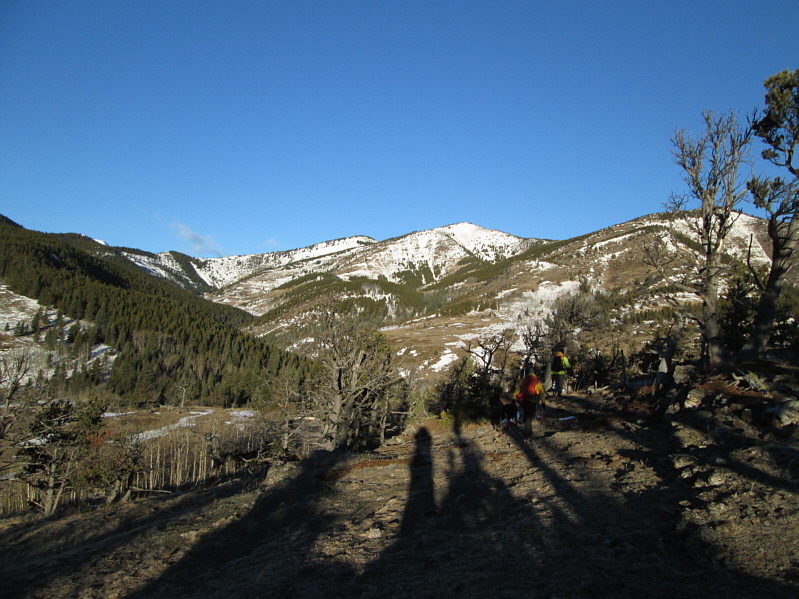 |
The two highest summits of Bull Creek Hills are straight ahead. The group would eventually ascend the ridge on the left and descend the hill on the right. |
 |
The terrain is generally open and easy. |
 |
The slope here is quite steep. |
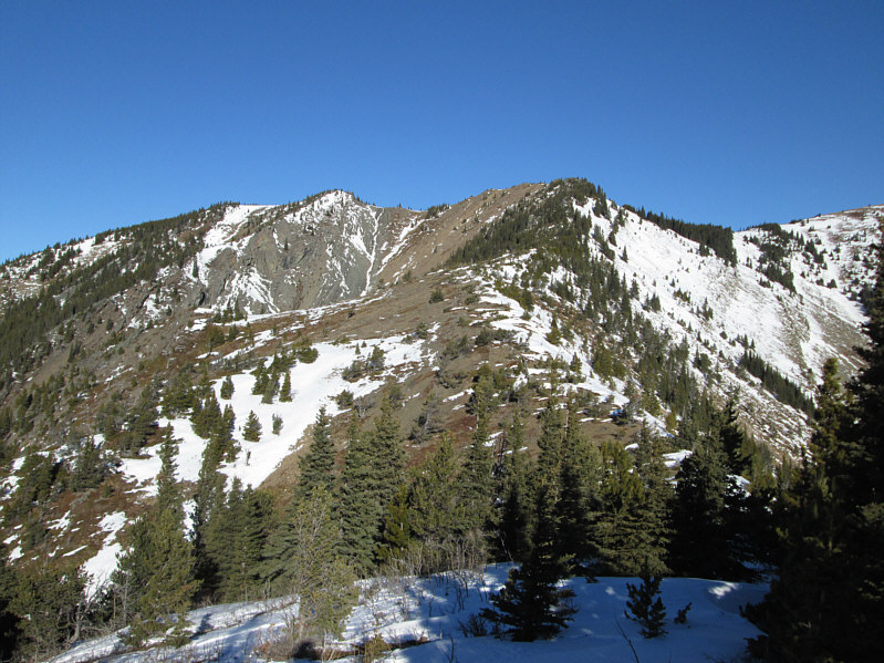 |
Here is the remainder of the route to the west summit (right). |
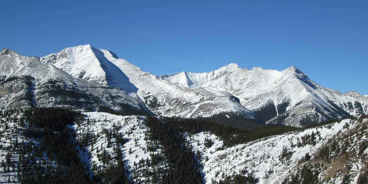
Holy Cross Mountain and Mount Head dominate the view to the west.
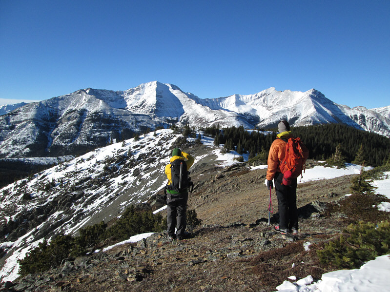 |
Matthew and Raff admire Holy Cross Mountain and Mount Head from the west summit of Bull Creek Hills (2142 metres). |
 |
Here is a closer look at Mount Head. |
 |
Here is a closer look at Holy Cross Mountain. |
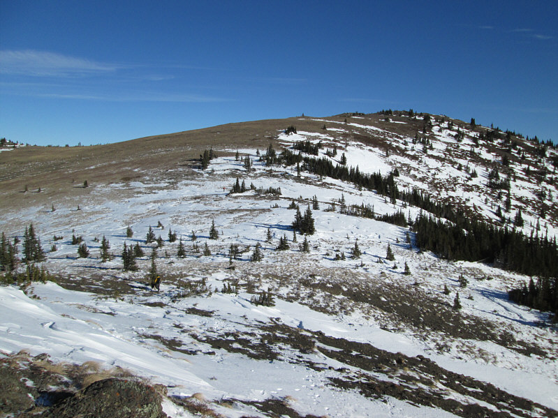 |
Matthew and Raff head for the east summit. |
 |
Raff holds up some of the contents of a geocache found on the 2160-metre east summit of Bull Creek Hills. Wietse is signing the register. |
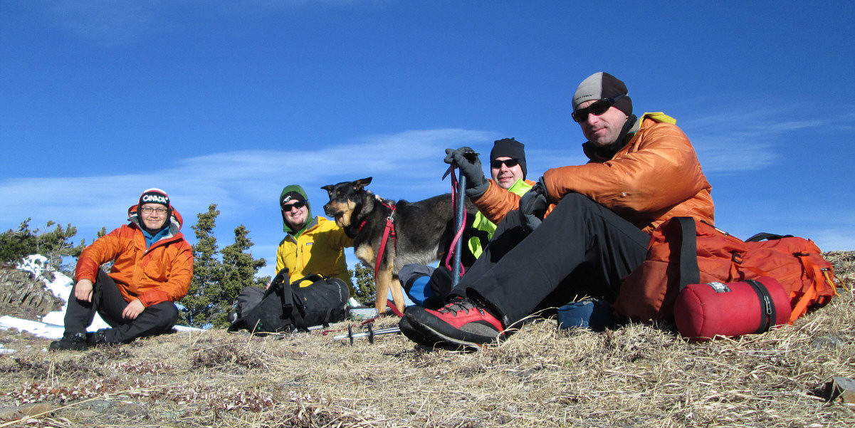
Relaxing on the east summit are (L to R) Sonny, Matthew, Crux, Wietse and Raff.
 |
Crux absolutely loves the snow! |
 |
Orange is indeed the new black! Photo courtesy of Rafal Kazmierczak |
 |
Matthew dances on the rocks near the east summit. |
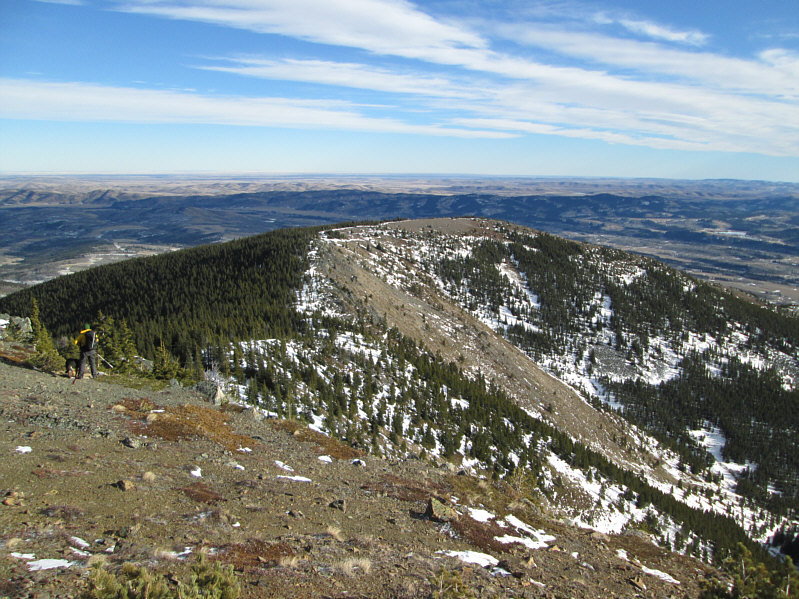 |
The broad east ridge will be the group's route of descent. |
 |
Here is a look back at the east summit of Bull Creek Hills. The top of Holy Cross Mountain is just "peaking" over the left-hand ridge. |
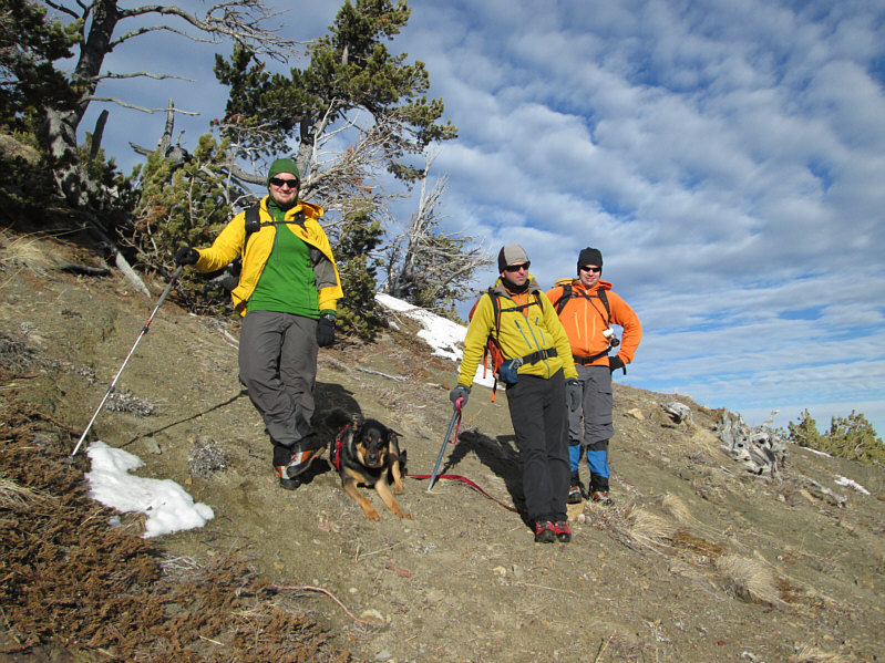 |
Matthew, Crux, Raff and Wietse pause briefly on the descent. |
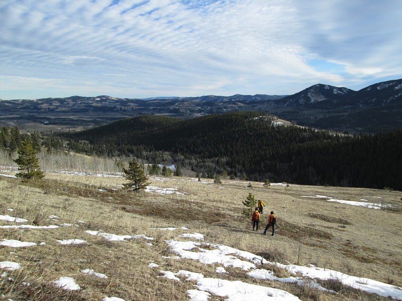 |
The highway is just on the other side of the low hill in the middle. |
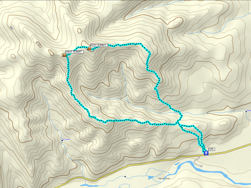 |
Total
Distance: 10.8 kilometres Round-Trip Time: 6 hours 36 minutes Net Elevation Gain: 715 metres |