BOU AVENUE
Evangeline Peak

On 18 April 2015, I joined Eric Coulthard, Matt Hobbs (along with his faithful dog, Crux), Rafal (Raff) Kazmierczak, Julie Muller and Marta Wojnarowska for an ascent of Evangeline Peak (unofficial name) near the Ya Ha Tinda Ranch just east of Alberta's Banff National Park.  Raff had invited me along and was likely inspired by an ascent last November by Vern Dewit, Ben Nearingburg, and Steven Song.  After a lengthy drive to the trailhead which is near the Big Horn campground, we started up an obvious trail to the north and quickly arrived at a scenic viewpoint overlooking Big Horn Falls.  We continued past the falls along a braided trail running across open grasslands.  Amidst the socializing which is inevitable in such a large group, we all missed the turnoff leading toward Evangeline Peak, and if not for Matt's alertness when he noticed that we were off track on his GPS, we may have had to backtrack even more than the half kilometre or so that we had already hiked up the wrong trail.  In any case, we regained the proper trail without too much complaint and continued the long approach toward Evangeline Peak.  This entailed crossing a small creek and hiking up a large cutblock before bushwhacking up a forested ridge.  Upon clearing tree line, we were greeted with a cold, unpleasant wind, and I feared that our summit visit would be very short-lived.  However, as we climbed higher up the broad ridge, the weather improved drastically, and by the time we reached the summit, the nasty wind had all but disappeared.  We spent nearly an hour on the summit before retracing our steps back to the trailhead.  While the group was quite chatty throughout the day, everyone seemed more subdued during the latter part of the trip likely as the result of fatigue.  Indeed, Evangeline Peak is a long albeit easy ascent--perfect for a large group and to reconnect with peak-bagging friends both old and new.

Be sure to check out Matt's trip report.
Where's the peak? 
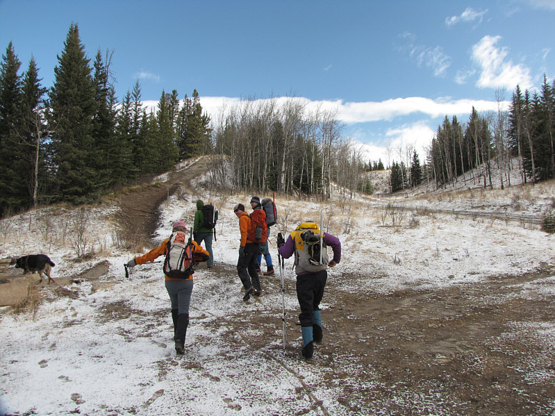
The group starts out from the trailhead.
Okay, I've seen enough. Let's go home! Not far from the trailhead is Big Horn Falls.
Bloody long approach! 
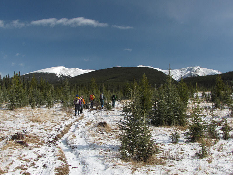
The group heads for the forested ridge ahead.  The top of Evangeline Peak is barely visible behind the ridge a little to the right of centre.
Marta looks kinda fluorescent. Must be the hair! Marta hikes up a cutblock.  Warden Rock is visible in the distance at centre.
I like group bushwhacks! 
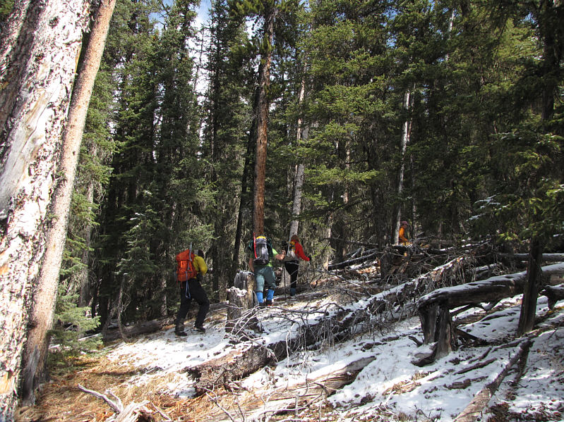
The group bushwhacks up the forested ridge.
A good place for a break after all the bushwhacking. Marta takes a break on an open slope.  Evangeline Peak can be seen right behind her.
Bloody windy here! Julie climbs up to a false summit.
So broad it's kinda boring... Marta pushes on up the broad ridge.
I could use some rum right about now... 
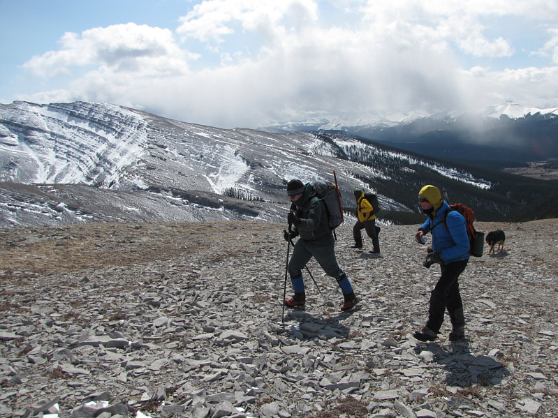
Eric, Matt, Raff and Crux tramp up easy rubble.  Rum Ridge provides a scenic backdrop to the south.
How does the ground feel, Crux? Ruff!! 
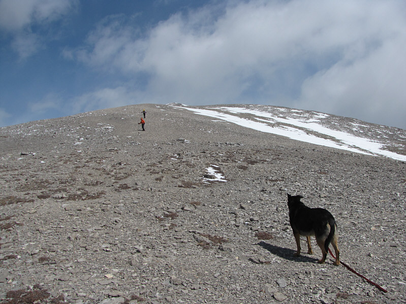
Crux looks on as Julie and Marta lead the way up the ridge.
But it's still just easy hiking! 
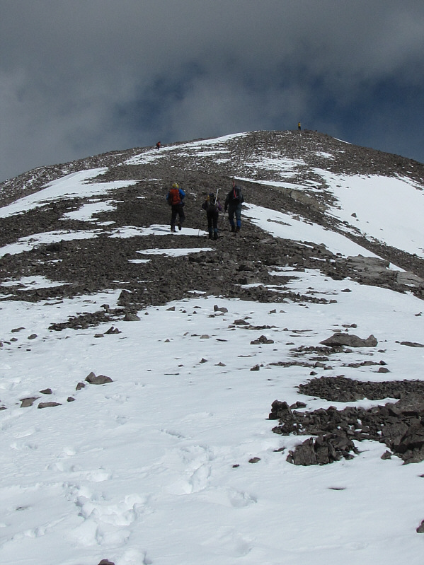
The ridge looks a bit more interesting near the top.
Guess who's last and dragging his ass! Matt and Crux are the first to reach the summit with Julie not far behind.

Ya Ha Tinda!

L to R on the 2571-metre summit of Evangeline Peak are Sonny, Eric, Matt, Raff, Crux, Marta and Julie.

A good snowmobiling objective! 
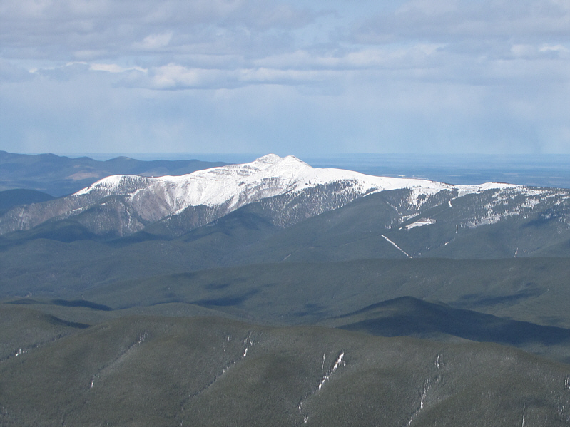
Limestone Mountain is about 16 kilometres away to the north.
I'll have to remember to bring some rum if I return to climb this! Rum Ridge dominates the view to the south.
Gee, that trailhead looks really far away... This is looking back down the broad ridge that the group came up.
Marta is thinking of a dirty limerick to write in the summit register! Raff, Marta, Eric and Julie relax on the summit.
The only thing missing are some beers and MtnBabes! 
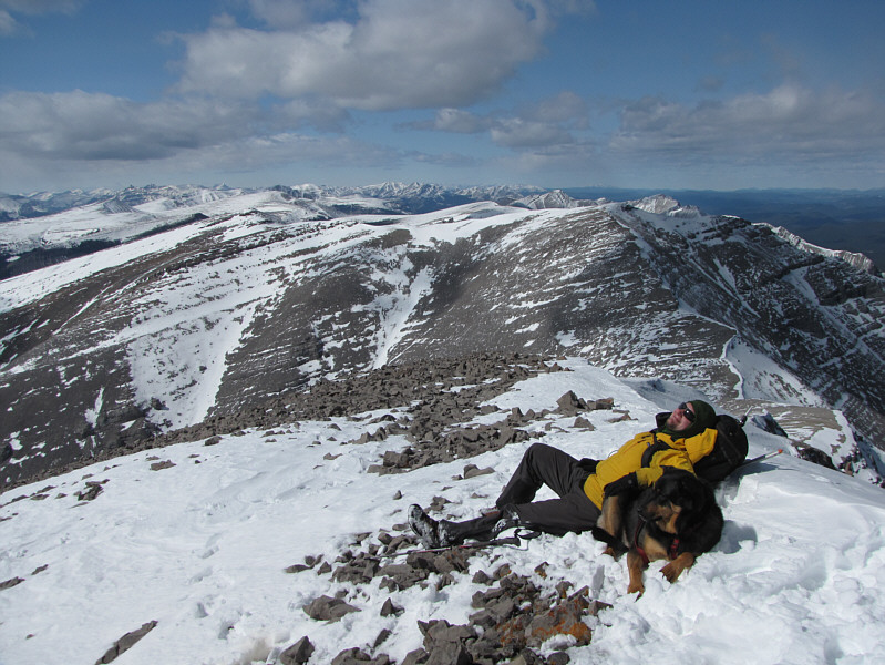
Matt and Crux have the relaxing thing down to an art.
A long but very pleasant trip. Total Distance:  18.9 kilometres
Round-Trip Time:  8 hours 45 minutes
Net Elevation Gain:  996 metres

GPX Data