Photo courtesy of Zosia Zgolak

Photo courtesy of Zosia Zgolak
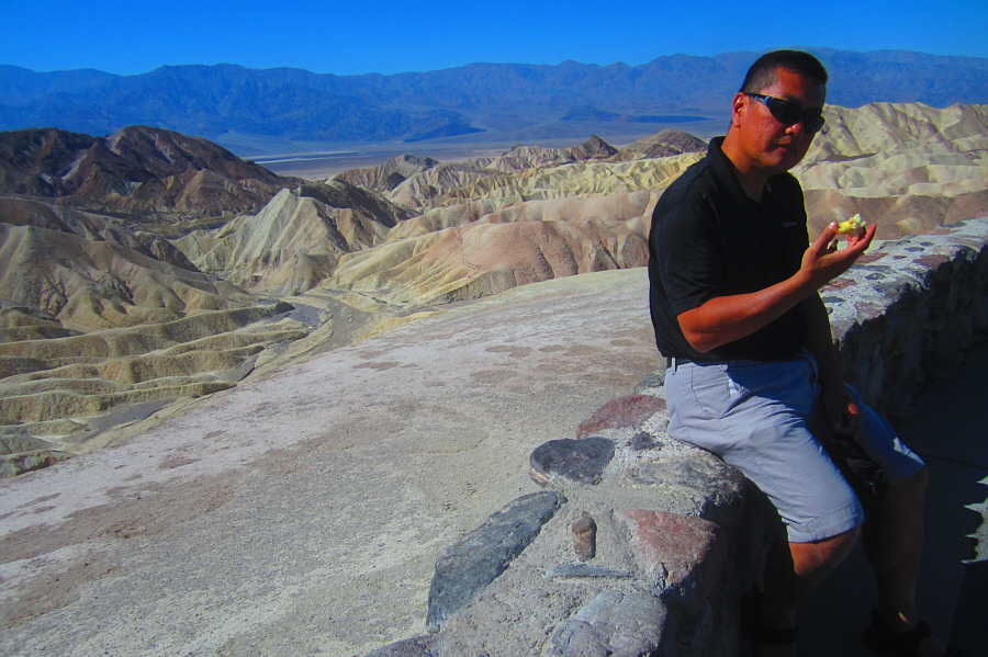
Photo courtesy of Zosia Zgolak

|
|
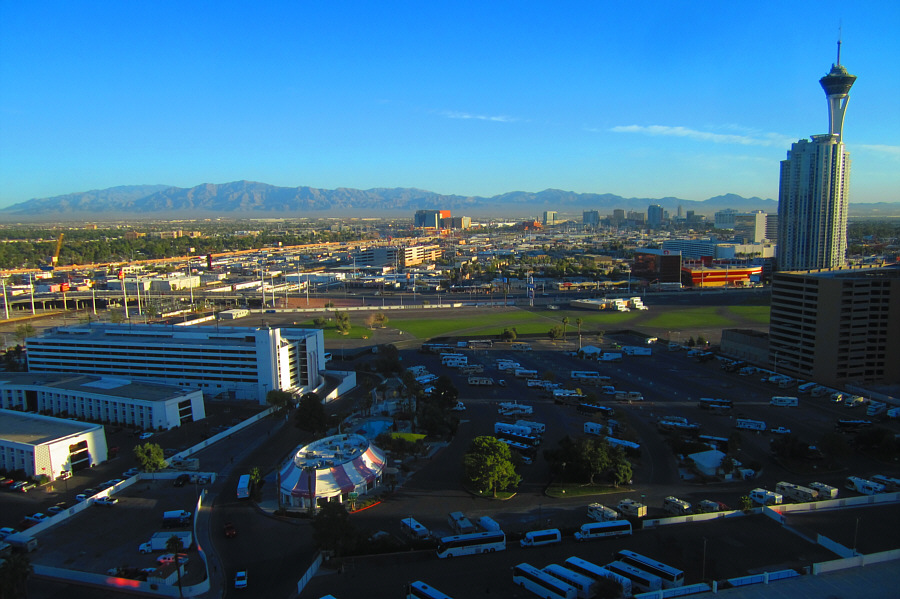
It is another beautiful morning in Las
Vegas in this view from Zosia's and Sonny's hotel room at Circus
Circus. Photo courtesy of Zosia Zgolak |
|
|
This rather unique convenience
store/gas station is located near the turnoff to Death Valley from
Highway 95. Apparently, there is a brothel at the back, and the
diner at the rear of the store doubles as a topless bar at night! Photo courtesy of Zosia Zgolak |
|
|
Sonny finishes eating an apple at
Zabriskie Point. Photo courtesy of Zosia Zgolak |
|
|
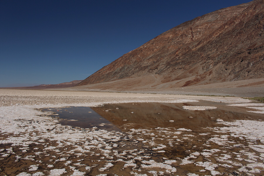
This is the spring-fed pool at Badwater Basin. There is less water here than when Sonny last visited in 2011. |
|
|
Zosia walks along the salt flats of Badwater Basin. The Sea Level sign is indicated. |
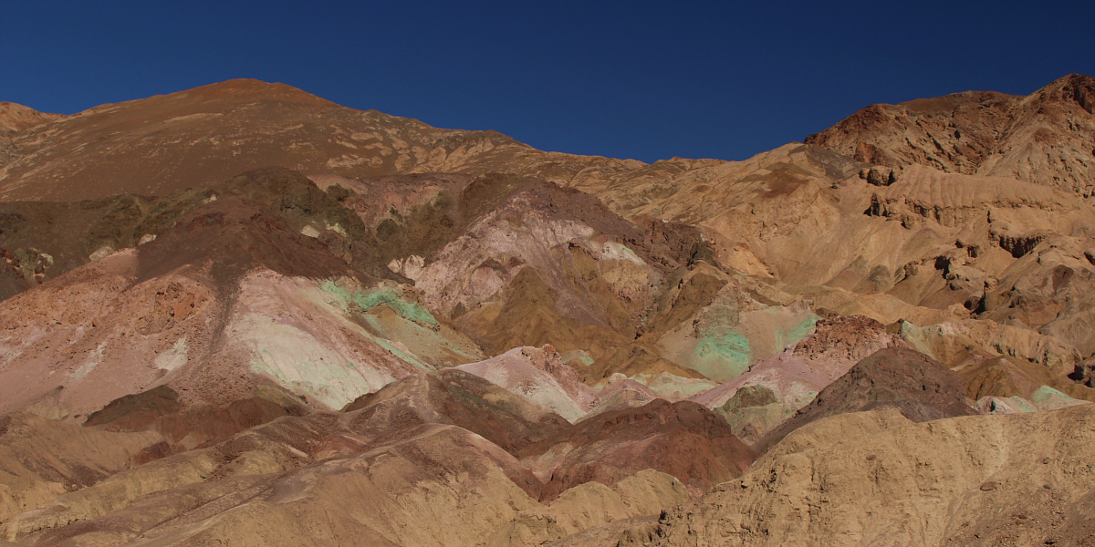
Artists Palette is still as colourful as ever.
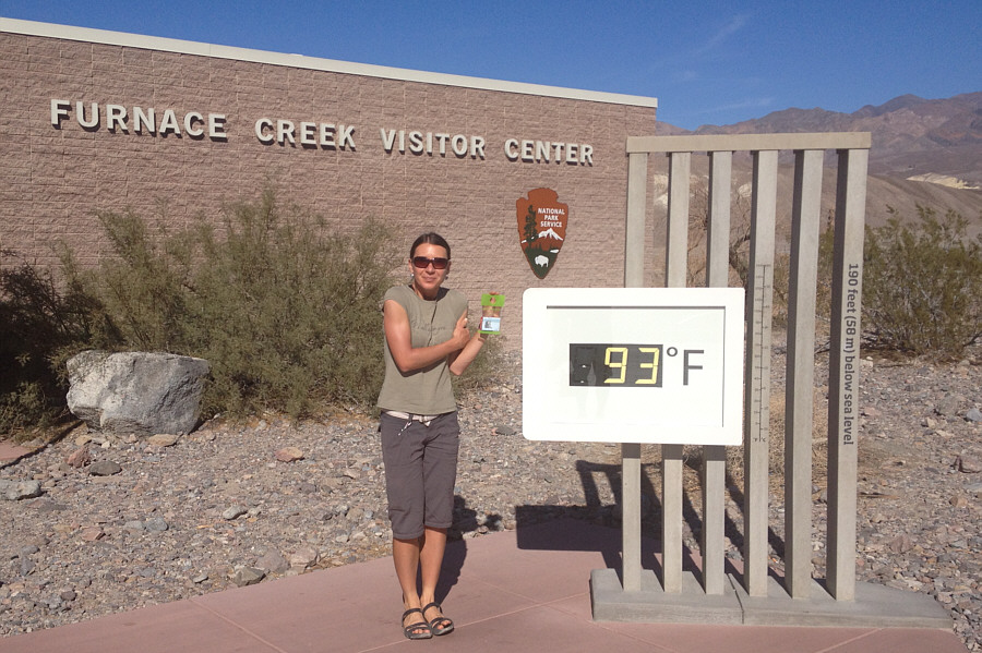 |
Zosia has such low blood pressure that she still feels cold at 34°C. |
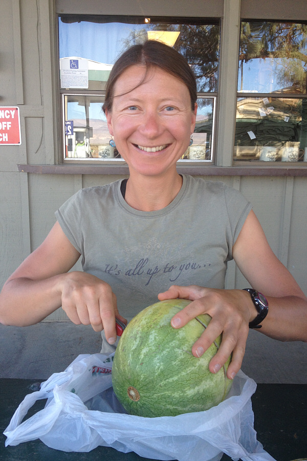 |
At a picnic table beside the gas station in Stovepipe Wells, Zosia cuts a watermelon with her Swiss army knife. |
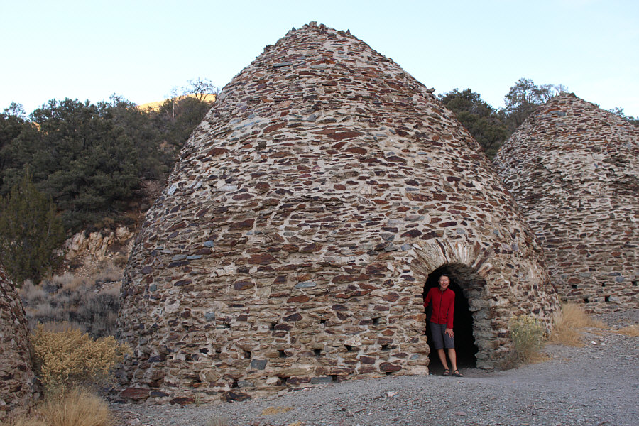 |
Zosia checks out one of the Wildrose Charcoal Kilns on the way to Thorndike campground. |
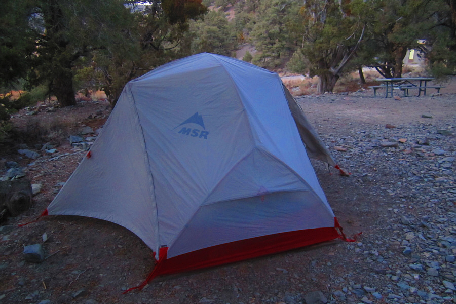 |
Zosia's tent is set up at Thorndike
campground. Photo courtesy of Zosia Zgolak |
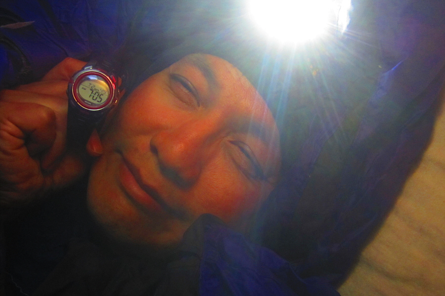 |
Sonny hits the sack early. Photo courtesy of Zosia Zgolak |

The sun rises over Badwater Basin (left).
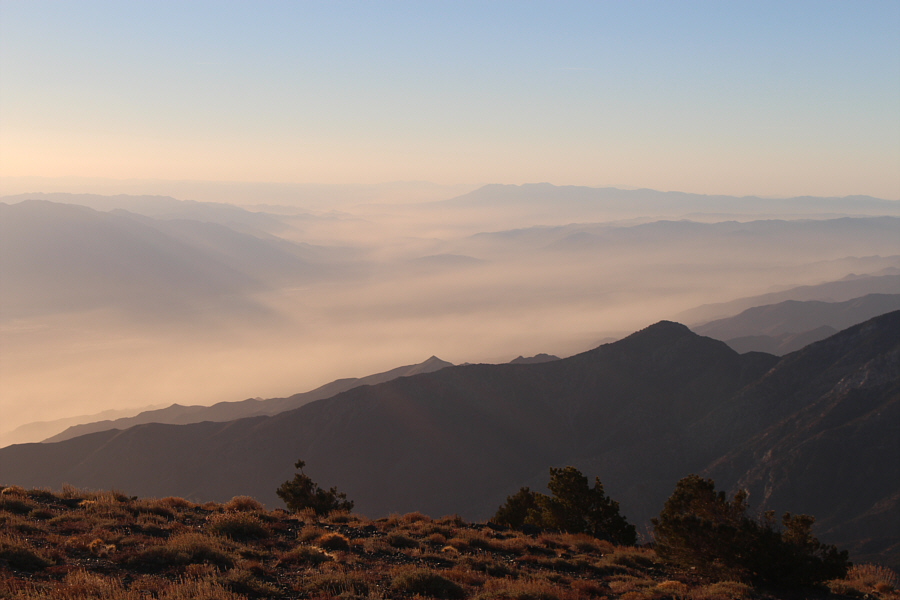 |
Mist fills the valleys to the southeast. |
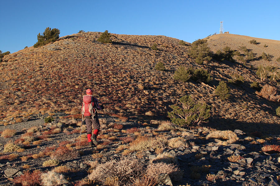 |
Zosia approaches the summit of Rogers Peak. |
 |
Sonny and Zosia stand near the summit of Rogers Peak (3039 metres). |
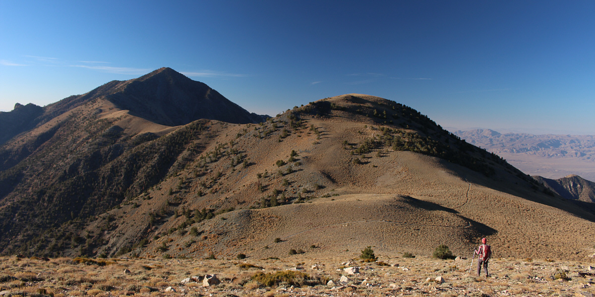
Zosia walks toward Telescope Peak (left) and Bennett Peak (right). The broad saddle in front of her is known as Arcane Meadows.
 |
Rogers Peak can be seen at distant left as Zosia approaches the top of Bennett Peak. |
 |
Sonny and Zosia sit on the summit of Bennett Peak (3041 metres). |
 |
Badwater Basin gleams in the morning sunshine. |
 |
Telescope Peak looms to the south. |
 |
Zosia begins to climb up the north ridge of Telescope Peak. |
 |
Zosia gains elevation slowly on the numerous switchbacks running up the north ridge. |
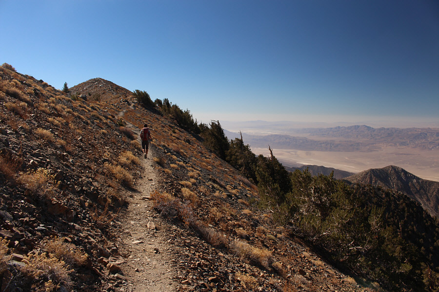 |
The summit is finally in sight. |
 |
Sonny takes the last few steps before
the summit. Photo courtesy of Zosia Zgolak |
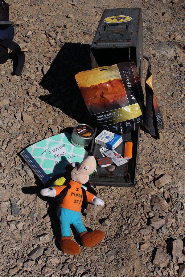 |
Telescope Peak's summit register is also a geocache. |

Sonny and Zosia stand on the summit of Telescope Peak (3365 metres), the highest point in Death Valley National Park.
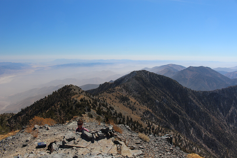 |
Zosia pokes her head above the wind-break with the southern portion of the Panamint Range behind her. |
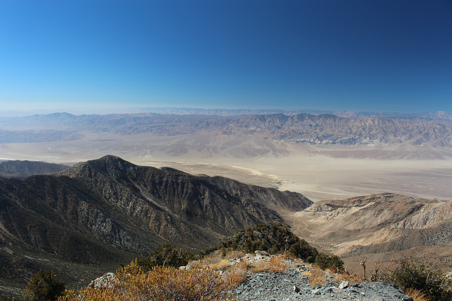 |
The flat expanse to the west is known as Wildrose Wash. |
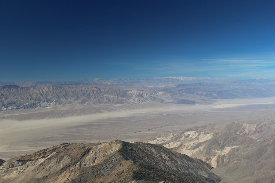 |
Among the white peaks on the right horizon about 117 kilometres away to the northwest is Mount Whitney, the highest peak in the contiguous United States ("Lower 48"). |
 |
Here is a last look at Badwater Basin, the lowest point in North America. |
 |
On the way back, Zosia hikes through Arcane Meadows below the top of Rogers Peak. |
 |
Total
Distance: 20.3 kilometres |
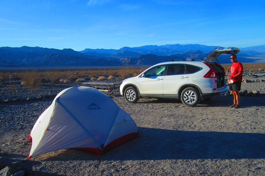 |
Sonny grabs some water from the back
on his car at Emigrant campground. Photo courtesy of Zosia Zgolak |
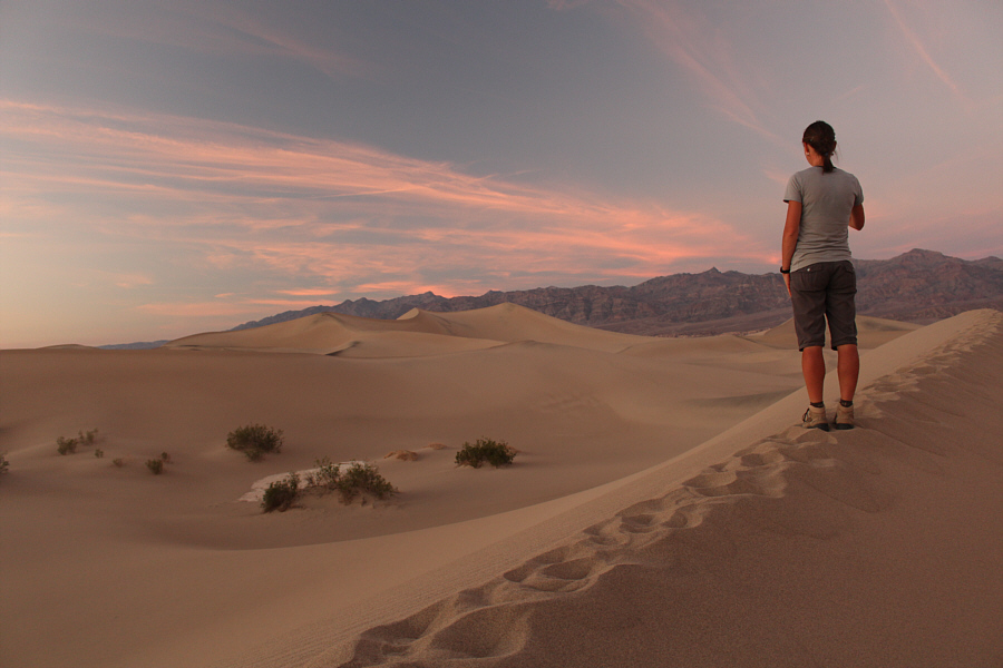 |
Zosia has her sights set on the highest dune of Mesquite Flat Sand Dunes. |
 |
Zosia heads toward the highest sand dune (right). |
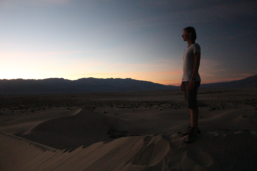 |
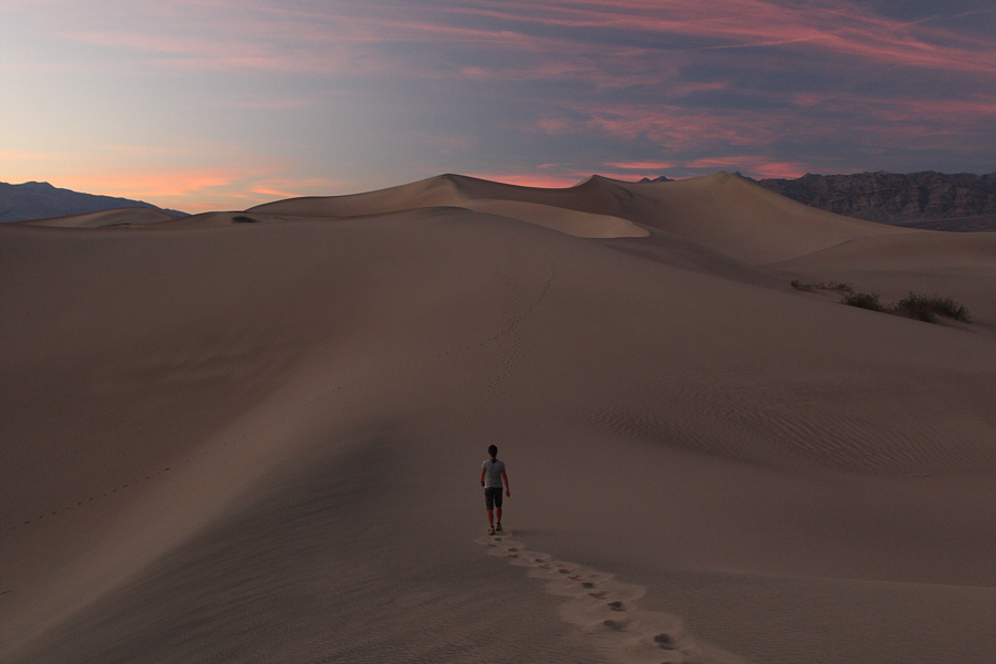
Standing on the highest dune, Zosia watches as the light fades over Death Valley National Park. |