BOU AVENUE
Coliseum Mountain

Taking advantage of warm conditions on 9 December 2017, Kevin Caron, Marta Wojnarowska, Zosia Zgolak and I hiked up Coliseum Mountain near Nordegg, Alberta.  Marta, Zosia and I had previously reached the east (gazetted) summit after a Herculean effort of breaking trail through knee-deep snow, but we ultimately ran out of time and energy to tag the west (true) summit.  On that occasion, we followed the standard Coliseum Trail which runs up the south side of the mountain.  This time, we chose to go up the longer but more scenic Ridgeline Trail which starts at the east end of the mountain.

The actual trailhead is beside the Nordegg Ranger Station, but we saved ourselves about a kilometre of mundane walking by parking near where the Ridgeline Trail begins climbing away from Highway 11.  We initially made good progress through the trees, and despite some snow cover and occasional deadfall, the trail was generally easy to follow.  Two short cliff bands guard the east end of Coliseum Mountain.  We easily ascended the first cliff band with the aid of a wooden ladder and a fixed rope.  Below the second cliff band, we encountered more snow which made route-finding a bit more challenging.  A weakness breaches the second cliff band further to climber's left, but deep, unconsolidated snow made the steep terrain here tricky to ascend.  Fortunately, this section is short-lived, and once above the second cliff band, we were able to relax a bit as we hiked west along the broad windswept ridge.  Passing over the east summit, we dropped down to the junction with the Coliseum Trail and continued along the connecting ridge to the west summit.  There were still some icy sections and deep pockets of snow here and there on the connecting ridge, but we had no serious difficulties completing the traverse.

After tagging the west (highest) summit, we retraced our steps all the way back along the Ridgeline Trail.  Descending the weakness in the second cliff band was somewhat intimidating because of the steepness and the snow, but we all managed to get down unscathed.  With the sun quickly disappearing late in the afternoon, we descended much of the lower half of the trail in the dark.  Many icy sections which seemed innocuous enough during our ascent proved to be a bit more challenging on descent, and we had to be extra careful to avoid any nasty spills.  We eventually stumbled more or less back to my car, and after packing up our gear, we drove to nearby Shunda Creek Hostel to check in for the night.
The mother is dressing up the kid! 
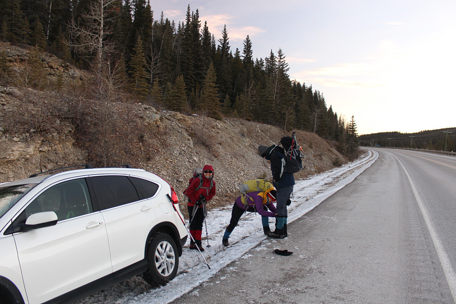
On the side of the highway near the start of the Ridgeline Trail, Zosia smiles while Marta adjusts Kevin's gaiters.
We're not lost yet! Yay! 
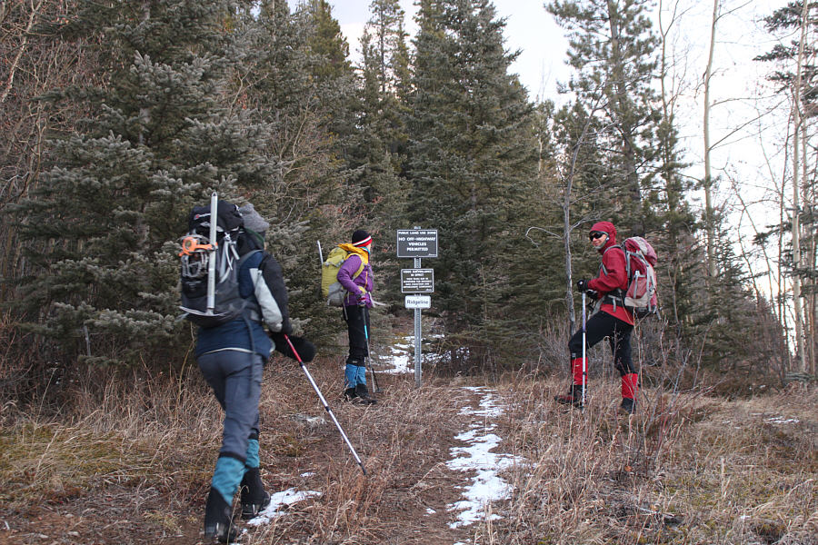
A sign marks the start of the Ridgeline Trail.
Sweating already! 
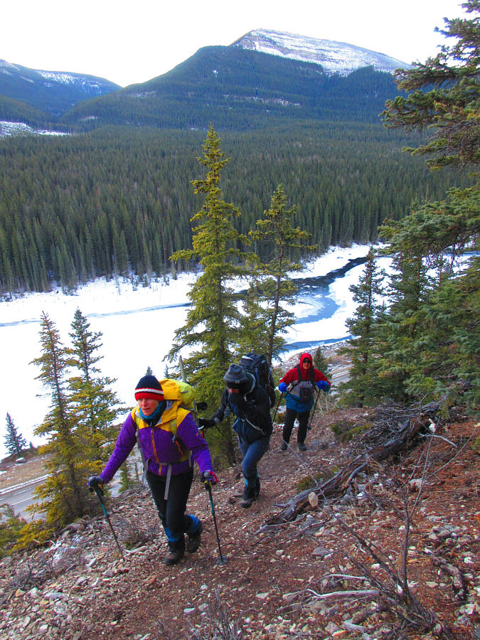
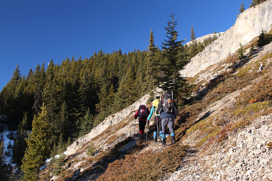
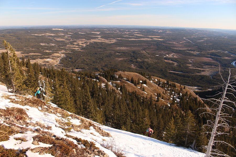
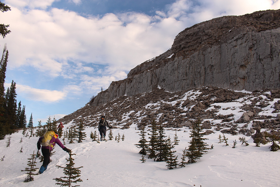
The group climbs above the highway and a dammed up section of Shunda Creek.

Photo courtesy of Zosia Zgolak

Thank heavens we're not post-holing like we did last time!

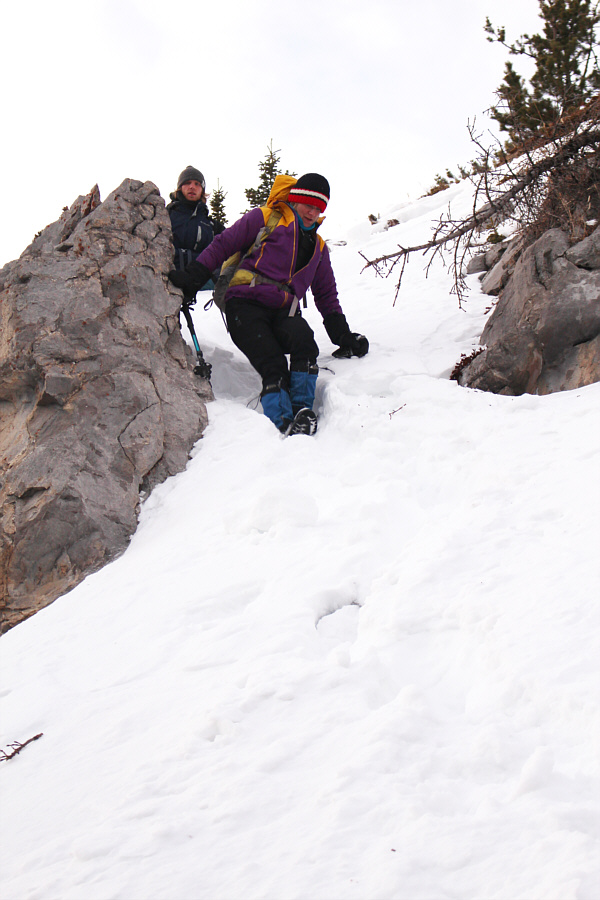
Marta watches as Kevin scrambles up a steep section along the trail.

You didn't think it would be a cakewalk, did you?? 
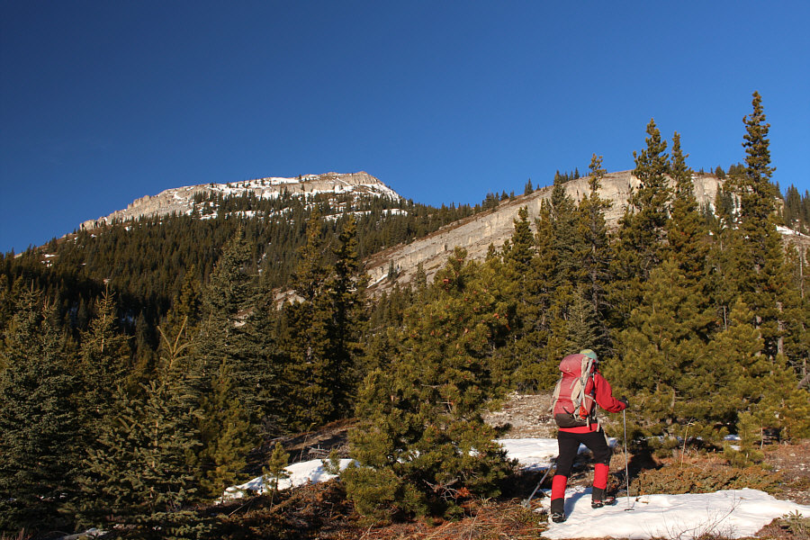
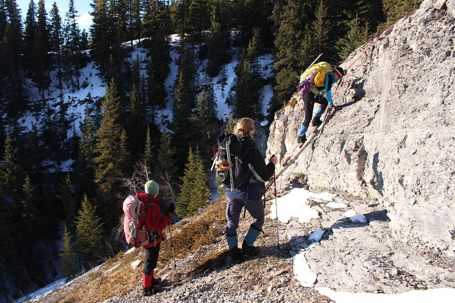
Two significant cliff bands guard the eastern approach to Coliseum Mountain.
Can you spot the moon? The group approaches the first cliff band.
For the record, I touched neither the ladder nor the rope while scrambling up the cliff band! 
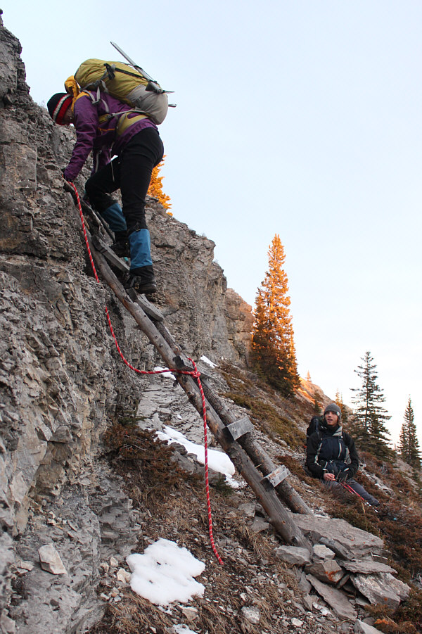
A wooden ladder and rope make it easy to surmount the first cliff band.
If you lose the trail here, keep going up and to the left! 
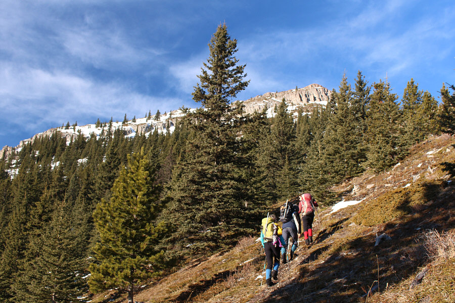
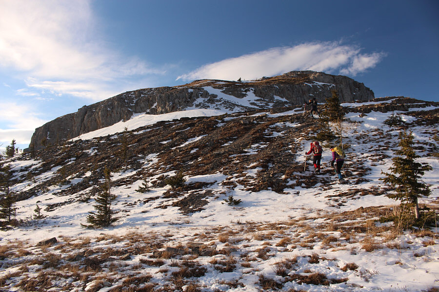
The group approaches the second cliff band.
Keep on climbing, Kevin! 
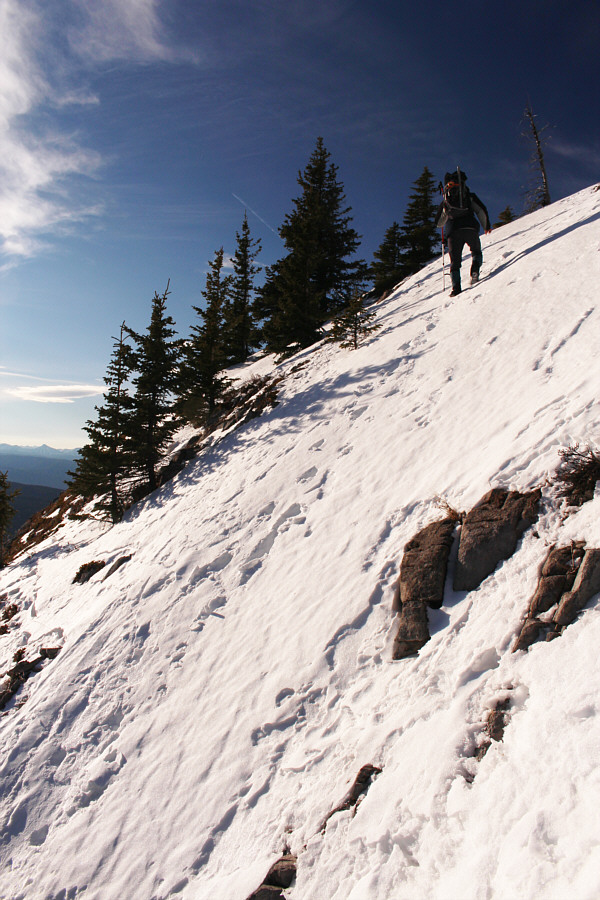
Kevin looks like a seasoned mountaineer as he walks up this steep snow slope.
It's very steep here! 
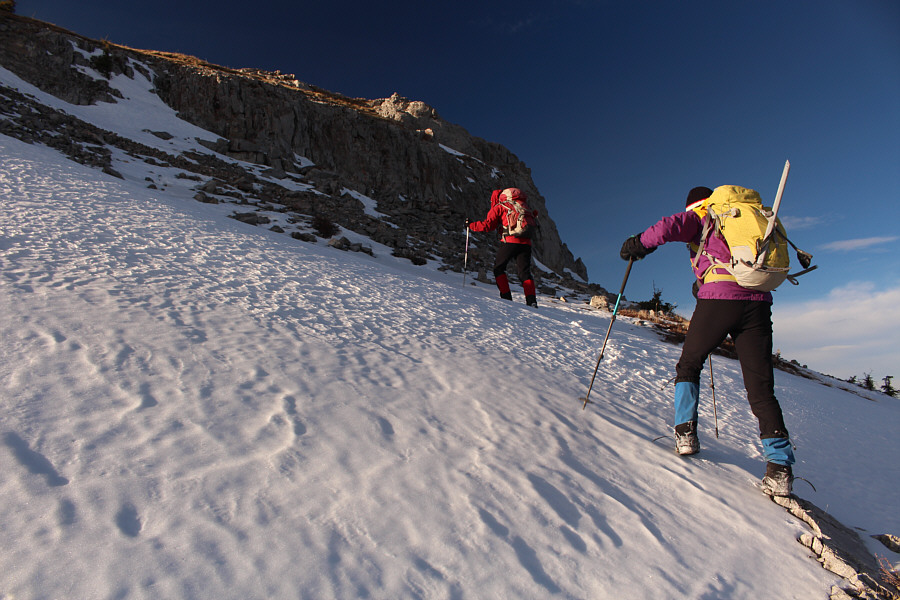
Marta and Zosia carefully climb up a slippery slope above the weakness in the second cliff band.
We still have a long way to go...

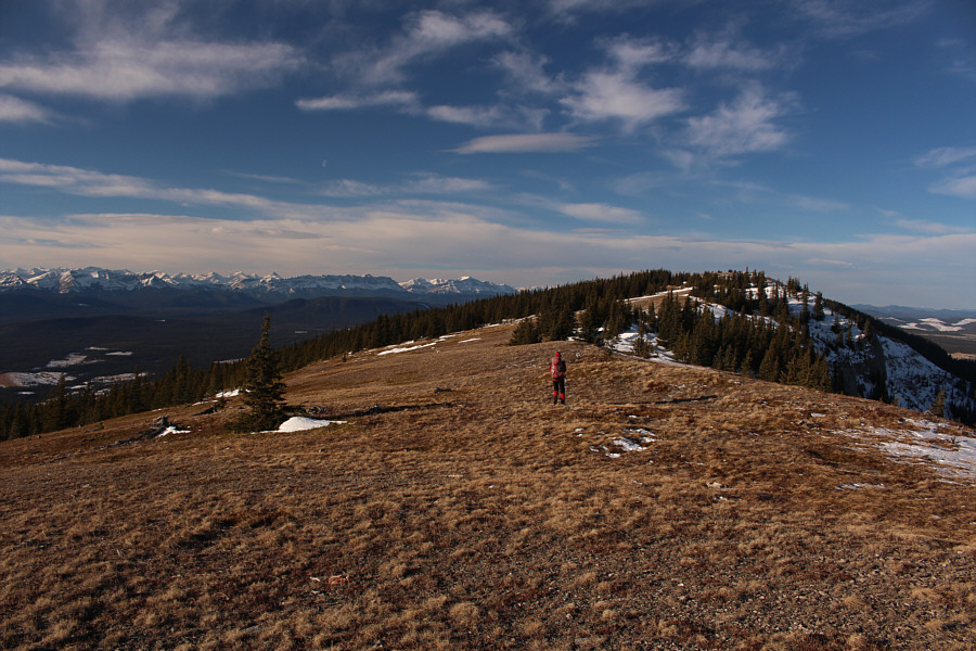
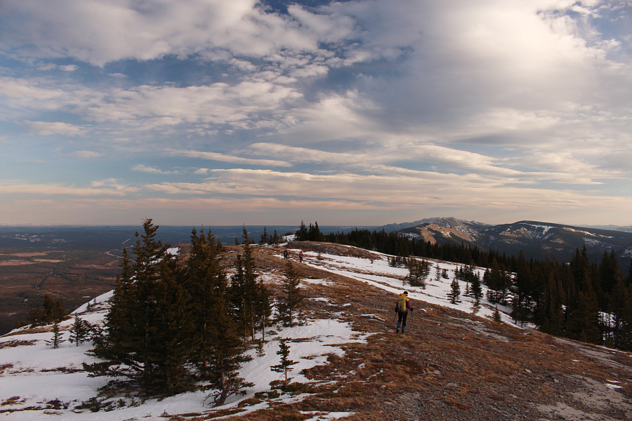
Zosia heads west along the broad windswept ridge.

Don't wanna mess with this brute!

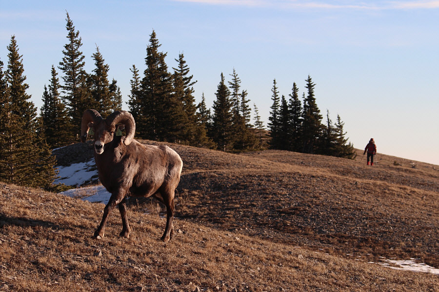
This bighorn sheep snuck up behind the group more than once along the ridge.

Despite a beaten path, the descent here is a bit sketchy...

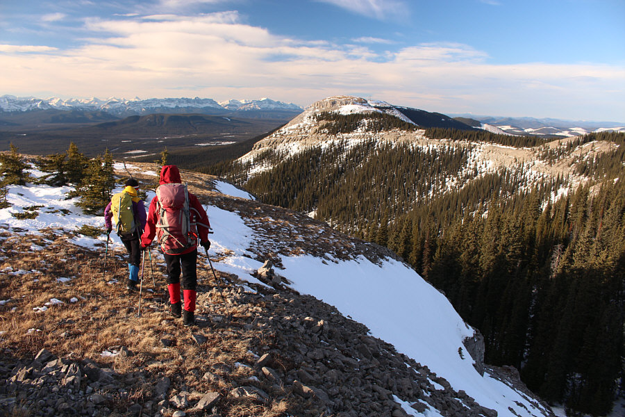
Marta and Zosia prepare to descend the rubble at lower right in order to begin the traverse to the west summit (centre).

We're essentially hiking along the rim of the "coliseum" right here!

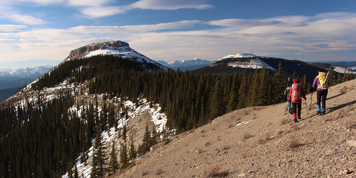
 Kevin, Zosia and Marta traverse the connecting ridge to the west summit.  At right is Shunda Mountain.


I think we're gonna make it this time! Kevin, Zosia and Marta approach the final summit block.
Hard-packed snow slopes are no match for Polish girls! Zosia and Marta try to avoid hard-packed snow below the summit block.
Can you spot Mount Cline on the horizon? 
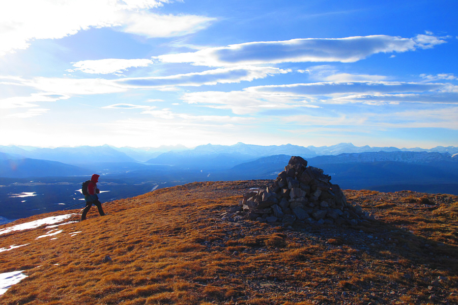
Sonny approaches the cairn on the west summit.

Photo courtesy of Zosia Zgolak

The Kanetrooper doesn't dance and is therefore absent here!

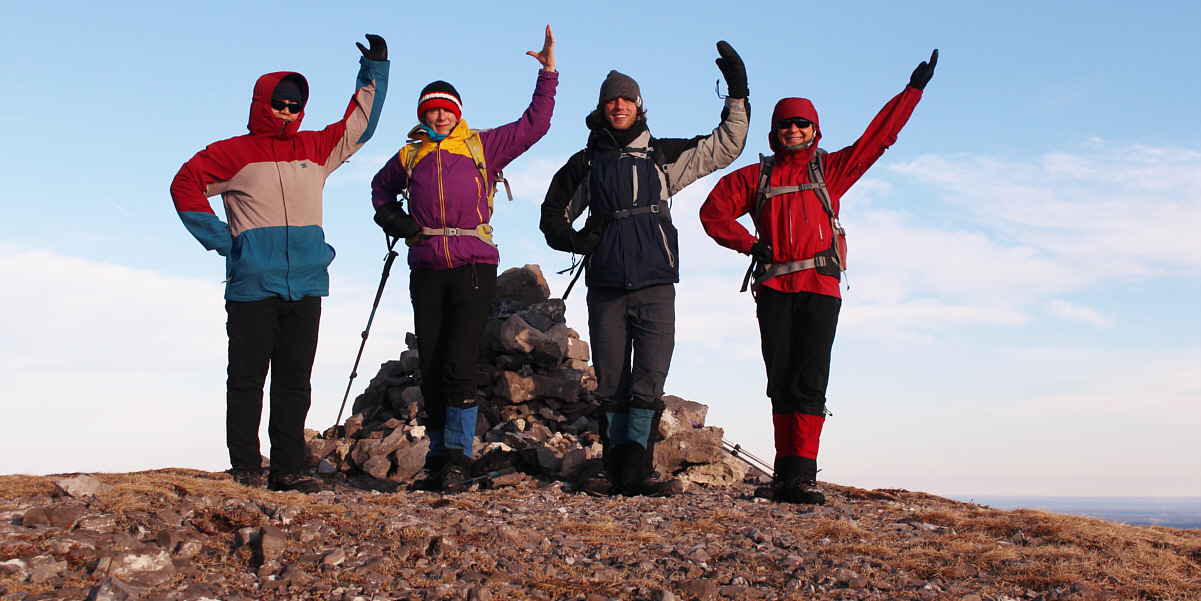
Sonny, Marta, Kevin and Zosia prepare to dance a polonaise on the west (highest) summit of Coliseum Mountain (2046 metres).


I think Shunda Mountain would make a great light touring ski trip, but snow conditions have to be perfect... 
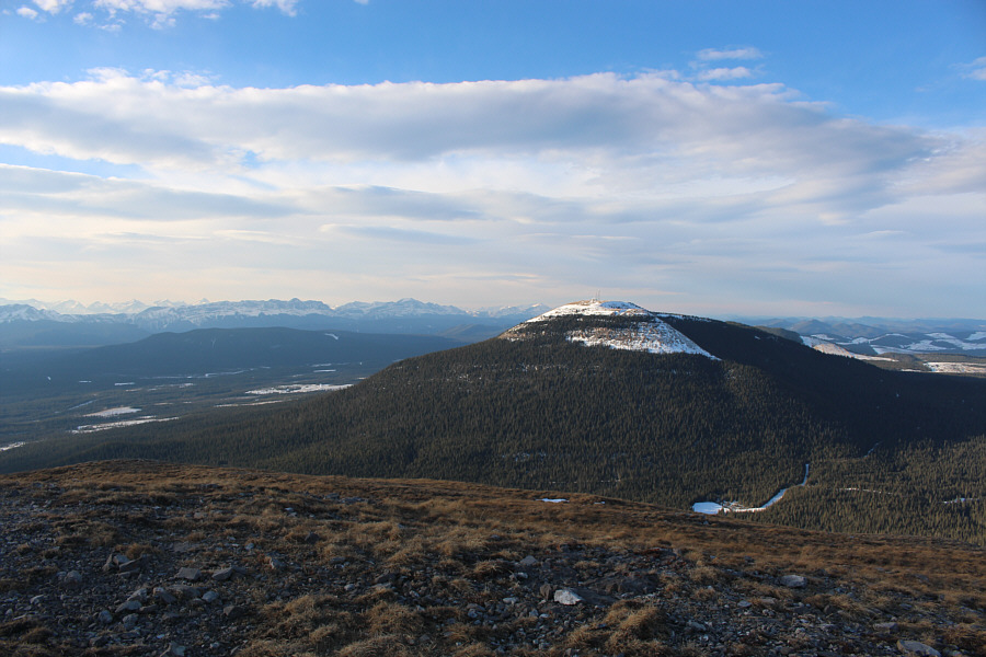
Shunda Mountain is about three kilometres further to the west.
Hmmm...we have a long walk ahead of us still... This is looking back at the east summit of Coliseum Mountain.
Zosia wanted to go skating on Abraham Lake the next day...I don't think it's frozen yet... 
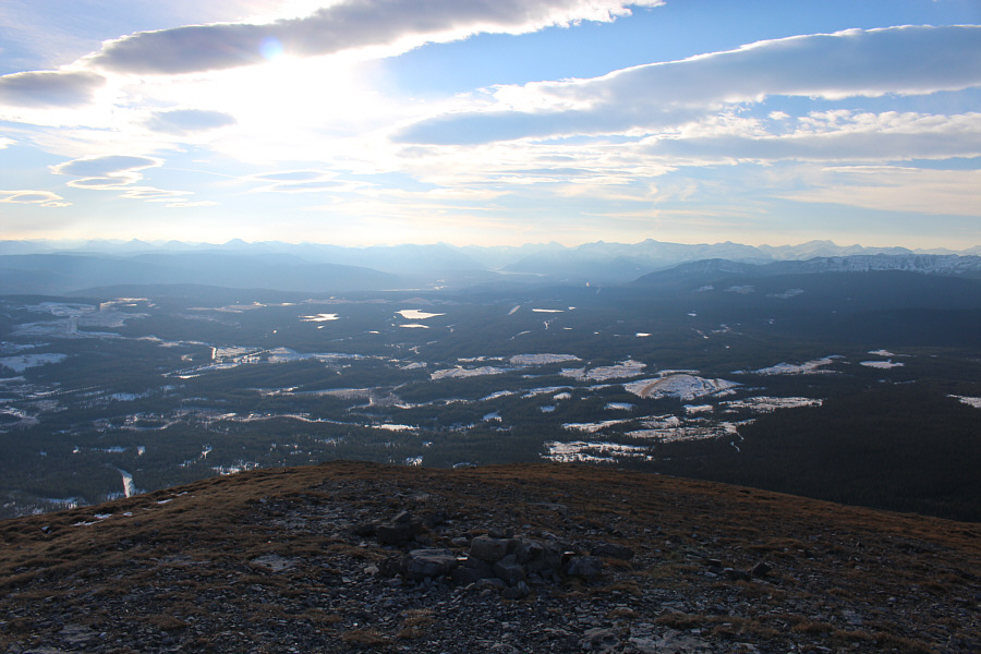
To the southwest, Abraham Lake is barely visible at distant centre.  The remains of a concrete pedestal at bottom centre are all that is left of a fire lookout tower that once stood here.
The snow drift in front of Marta is quite deep! After traversing back along the connecting ridge, Marta, Zosia and Kevin approach a cliff band guarding the east summit.
We did not see Mr. Ram this time! 
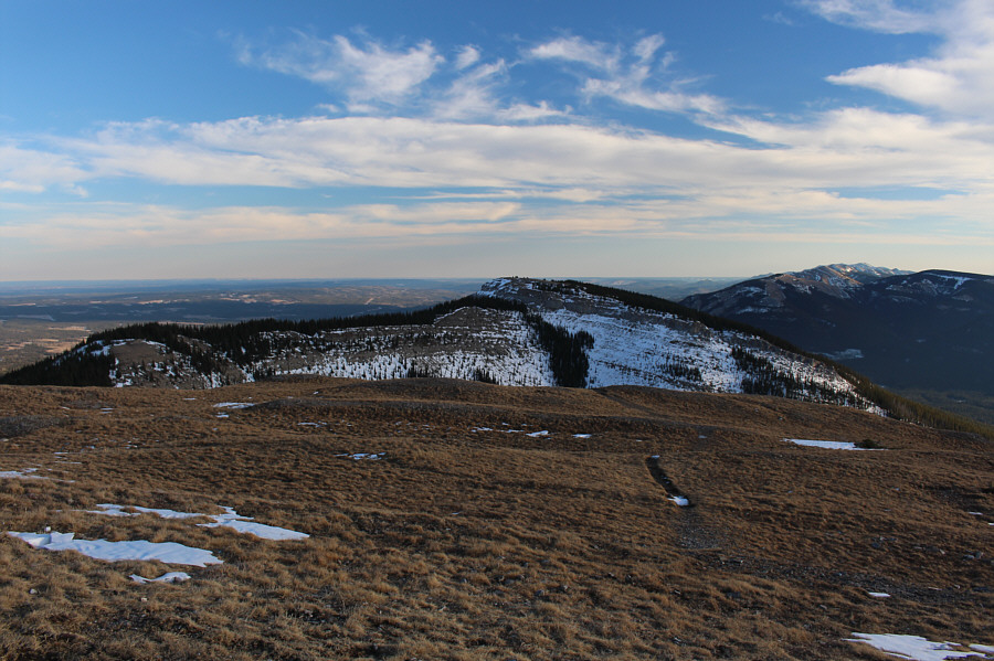
The group continues back along the broad windswept ridge.
Probably the crux of the whole trip. Kevin and Marta carefully descend the weakness in the second cliff band.
I wouldn't trust that ladder much longer... Kevin watches Marta descending the wooden ladder at the first cliff band.

Let the stumbling in the dark begin!

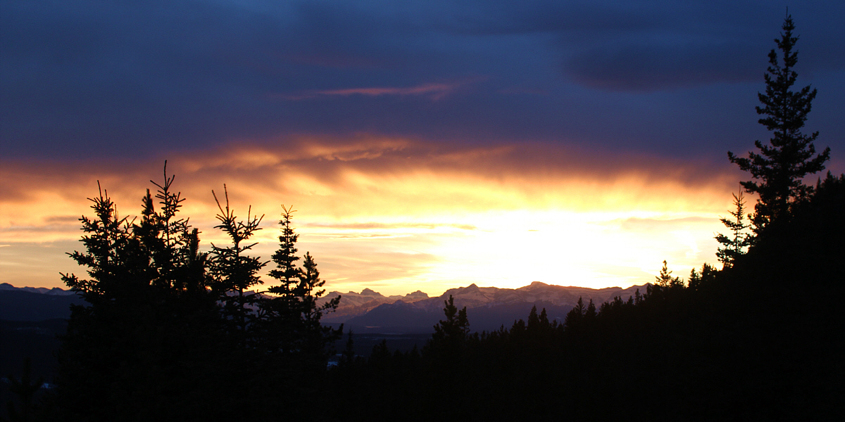
 The sun sets to the southwest.
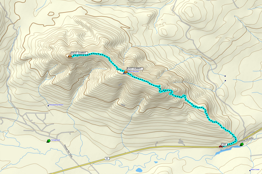
 

A long but interesting route with just the right amount of spice! Total Distance:  16.1 kilometres
Round-Trip Time:  8 hours 21 minutes
Net Elevation Gain:  740 metres

GPX Data