 |
Zosia is ready to start hiking from Logan Pass parking lot. Clements Mountain is in the background. |
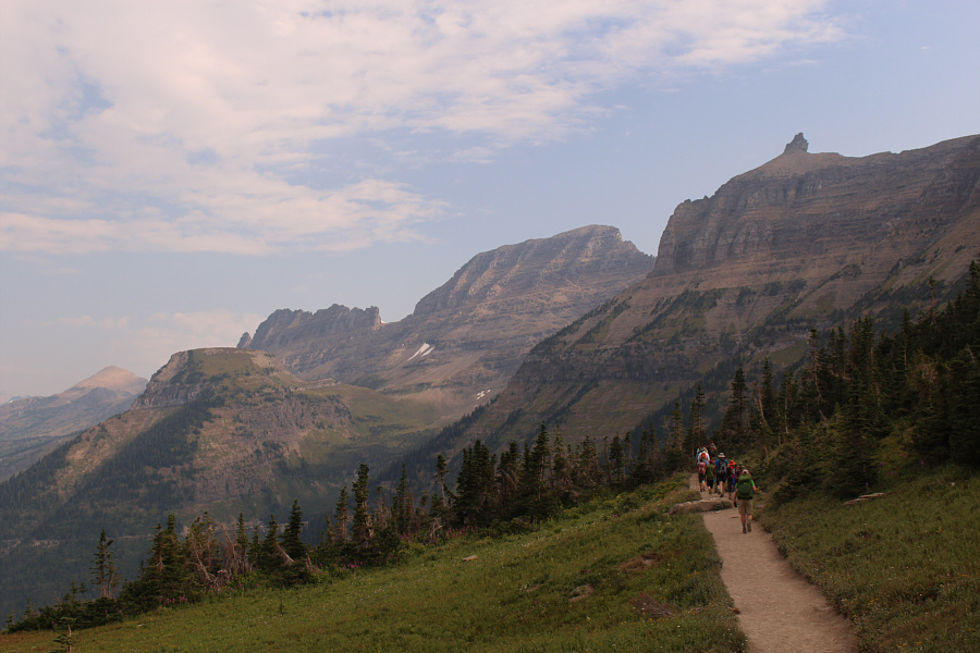 |
From the start of Highline Trail near Logan Pass, Haystack Butte can be seen at left. Also visible are Bishops Cap (right), Mount Gould (centre), and Swiftcurrent Mountain (distant far left). |
 |
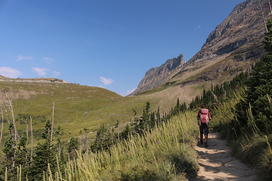
The first part of Highline Trail runs across some spectacular cliffs. |
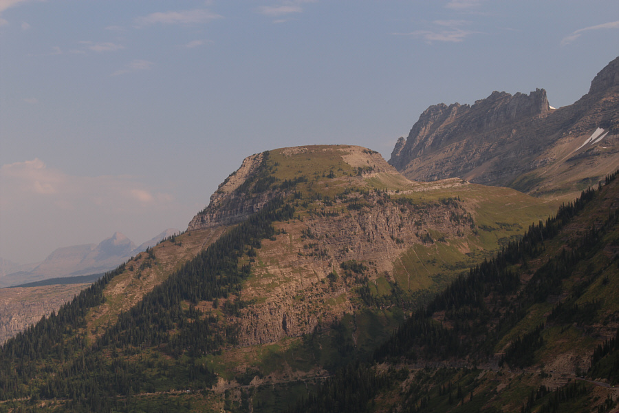 |
Here is a closer look at Haystack Butte. |
 |
A hoary marmot crawls on top of a rock in front of some fireweed. Photo courtesy of Zosia Zgolak |
 |
The Highline Trail can be seen making one long switchback up to the pass between Haystack Butte and Mount Gould. |
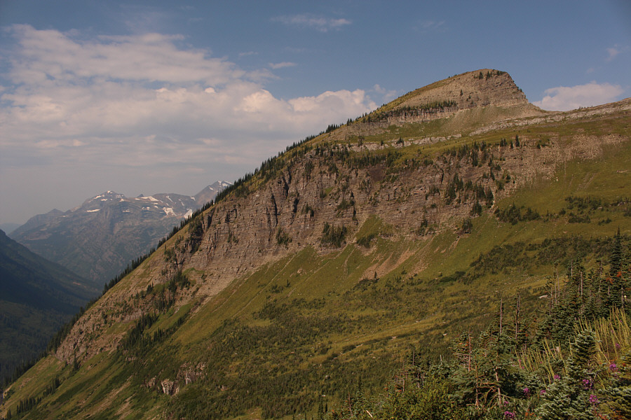 |
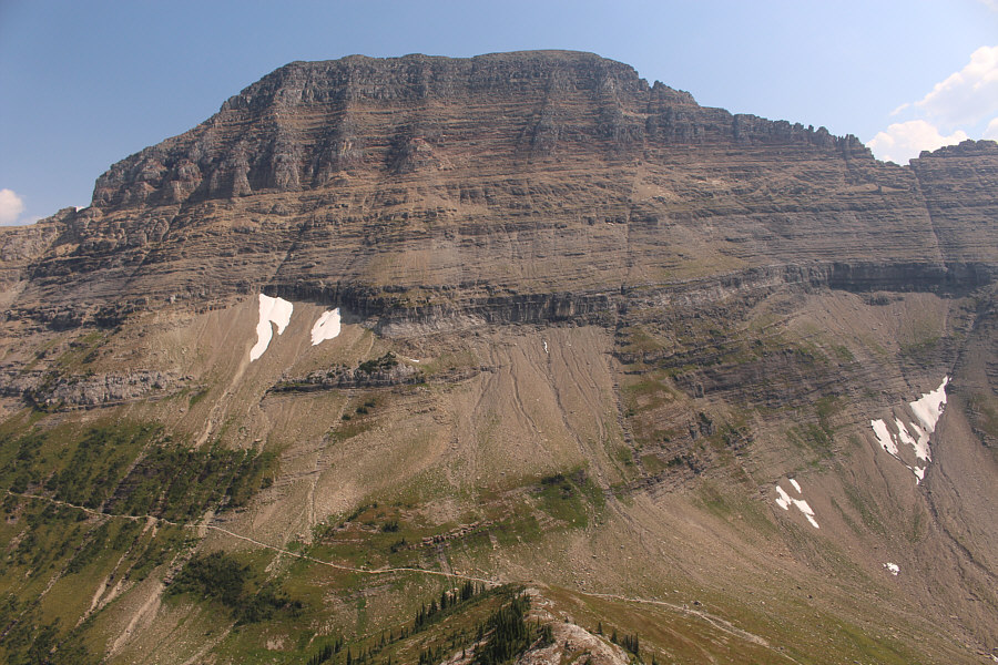
Haystack Butte looks more like a shark fin from across the basin. The grassy bench at upper right is the key to the ascent. |
 |
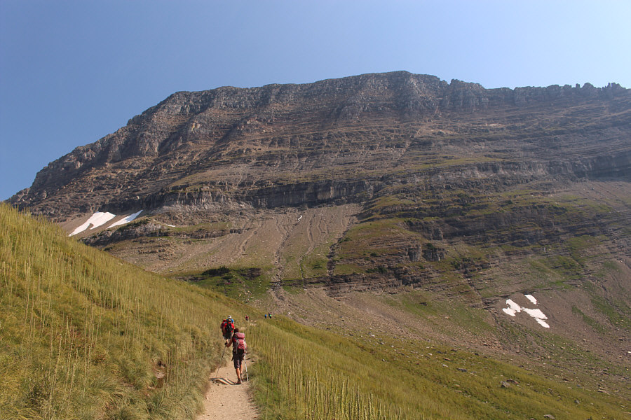
Zosia hikes up the lower part of the switchback. Haystack Butte is but a rocky knob from this angle. |
 |
Zosia approaches the pass below Mount Gould. |
For some reason, there were swarms of bugs on this day flying about the rocks and cairns on the summit ridge, and although most were not of the biting variety, they were still annoying as hell. There seemed to be less bugs at the west end of the summit ridge, and that is where we stopped for a break.
Despite the hordes of people on the Highline Trail, we surprisingly had Haystack Butte all to ourselves, and it felt nice to enjoy a bit of solitude on our little island in the sky.
 |
Zosia leaves the Highline Trail and traverses the grassy bench aiming for a break in the cliffs to the left. |
 |
The south-facing slope of Haystack Butte grants easy off-trail hiking. |
Sonny and Zosia stand on the summit of Haystack Butte (2274 metres).
 |
The scramble route for Mount Gould goes up the long crack just right of centre. |
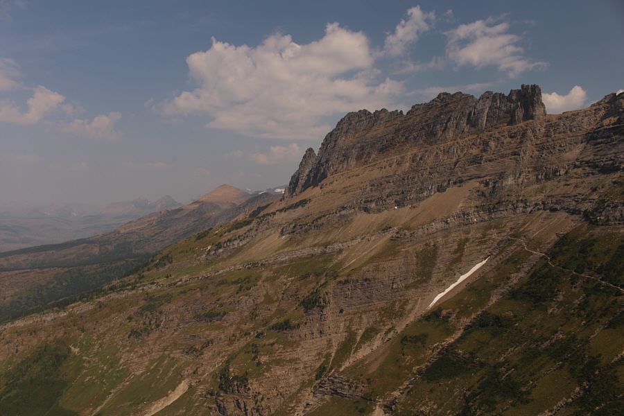 |
The Highline Trail continues north along the Garden Wall. Swiftcurrent Mountain is the tan-coloured triangular peak at distant left. |

Heavens Peak is a real eye-catcher to the west.
We retraced our steps for the return trip and were once again awed by the amazing scenery all the way back to Logan Pass.
When we returned to the parking lot, motorists were still slowly circling around like sharks in a tank, and sure enough, we were once again asked if we were leaving as we reached my car. The driver must have felt like he won the lottery when I answered in the affirmative, and thankfully, he was patient enough to allow us a few minutes to change and pack up our gear.
We subsequently drove to St. Mary for some gas and ice cream before heading home.
 |
Zosia passes some fireweed on the hike back to Logan Pass. The peak in the distance is Mount Cannon. |
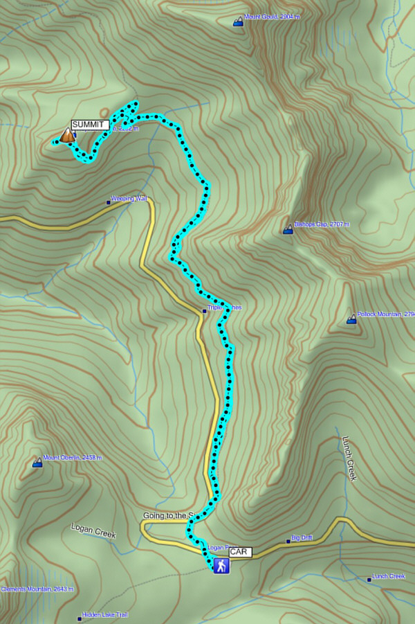 |
Total
Distance: 13.9 kilometres Round-Trip Time: 5 hours 18 minutes Net Elevation Gain: 325 metres |