 |
Zosia hikes up the Sunshine Village access road with Mount Bourgeau behind her. |
 |
Just past the base of Goat's Eye chairlift, the group heads up a rougher road which is the Sunshine Coast ski run in winter. |
 |
Anna and Zosia endure some light bushwhacking as they make their way toward the basin below Mount Howard Douglas. |
 |
Jim picks his way across some boulders in a glade surrounded by larches. |
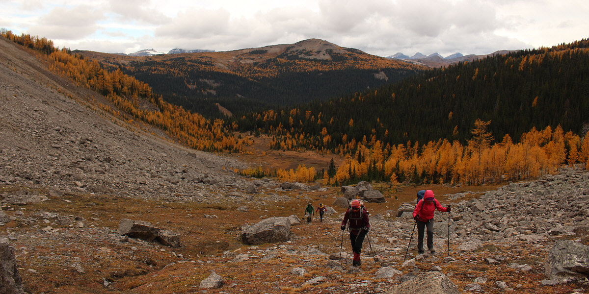
The group enters the basin west of Mount Howard Douglas. At centre in the distance is Wawa Ridge.
 |
The group grinds its way up lots of loose rubble in the basin. |
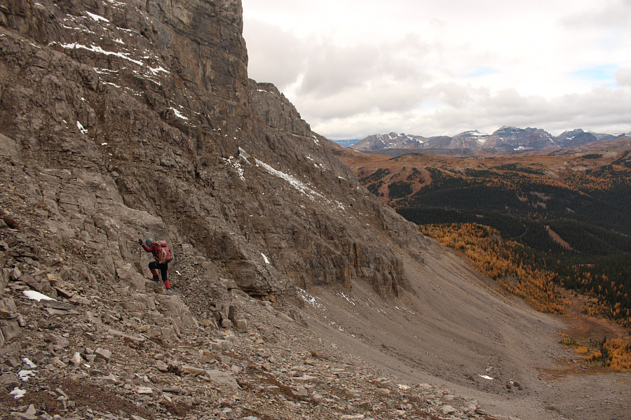 |
Zosia takes to some cliff bands which offer more solid footing. |
 |
The scree ledge (hidden) described by Nugara is best accessed near the base of the big cliffs just right of centre. |
 |
Marta leads Jim, Anna and Zosia up a short cut through the cliffs below the scree ledge. |
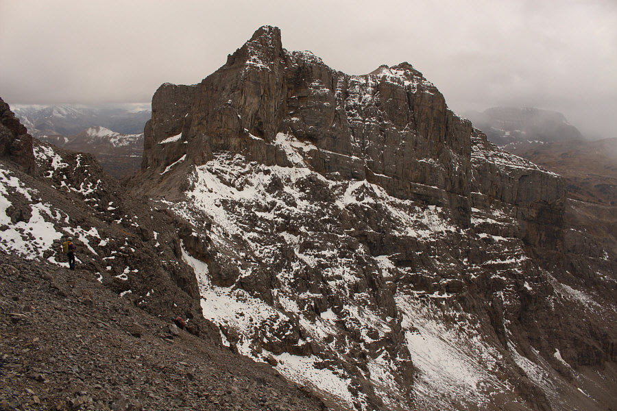 |
Marta (far left) waits for the rest of the group to join her on the scree ledge. The peak in the background is the western outlier of Mount Howard Douglas. |
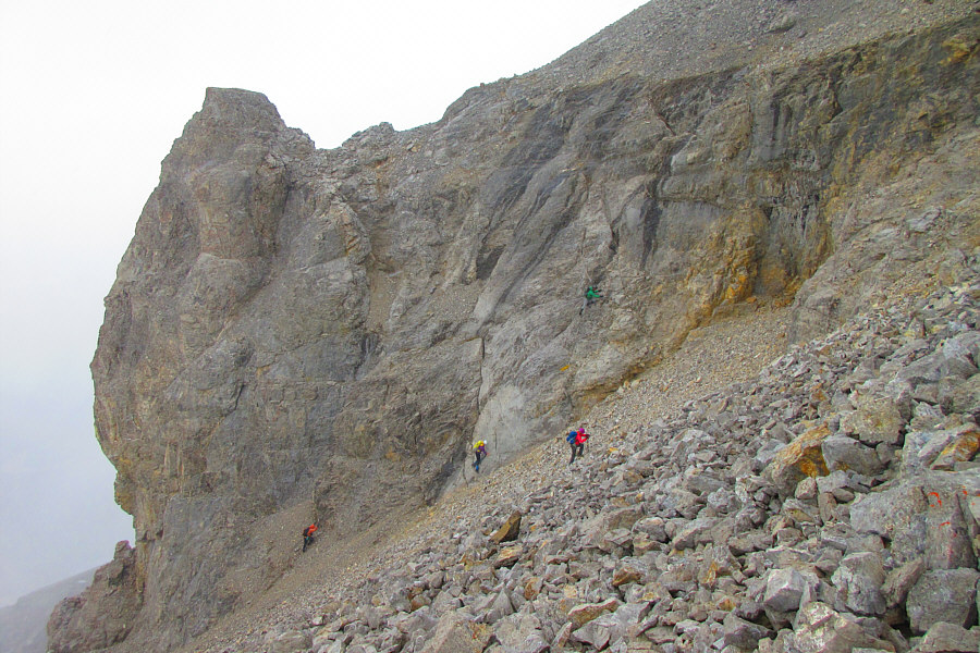 |
The group takes varying lines up the rubble slope just below the
summit block (out of view at top right). Photo courtesy of Zosia Zgolak |
 |
Zosia and Marta scramble up the south side of the summit block. |
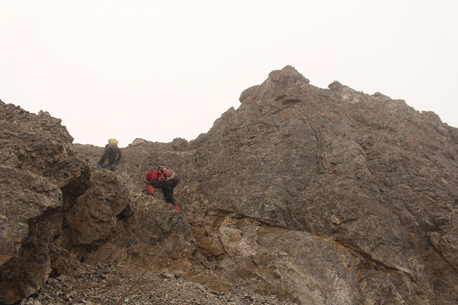 |
Marta and Zosia clear the short rock step just below the summit. |
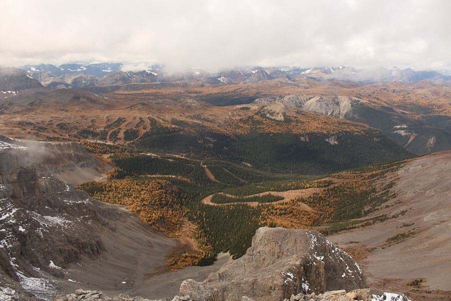 |
Numerous ski runs can be seen in this panoramic view from the summit. |
 |
Here is another look at the western outlier of Mount Howard Douglas. |
 |
To the south is Howard Douglas Creek valley. Sunshine Landing (GR882573) is the low-profile ridge just right of centre. Also visible to the right are Quartz Hill and Quartz Ridge. |
Sonny, Marta, Jim, Anna and Zosia stand on the summit of Mount Howard Douglas (2872 metres).
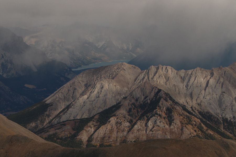 |
A sliver of Lake Minnewanka can barely be seen to the northeast. |
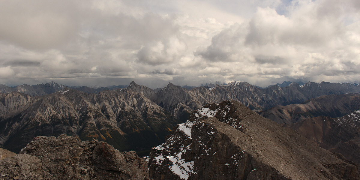
The Sundance Range stretches across most of the eastern horizon.
 |
Visible to the northwest are Black Brett, Mount Bourgeau and Eagle Mountain. |
 |
Zosia carefully descends to the scree ledge which is just around the corner at bottom left. |
 |
The group takes advantage of the loose rubble to quickly descend to the bottom of the basin. |
 |
Here is a look back at the basin below Mount Howard Douglas. |
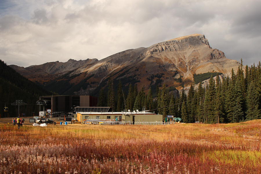 |
The group returns to the base of Goat's Eye chairlift with Mount Bourgeau in the background. |
 |
Total
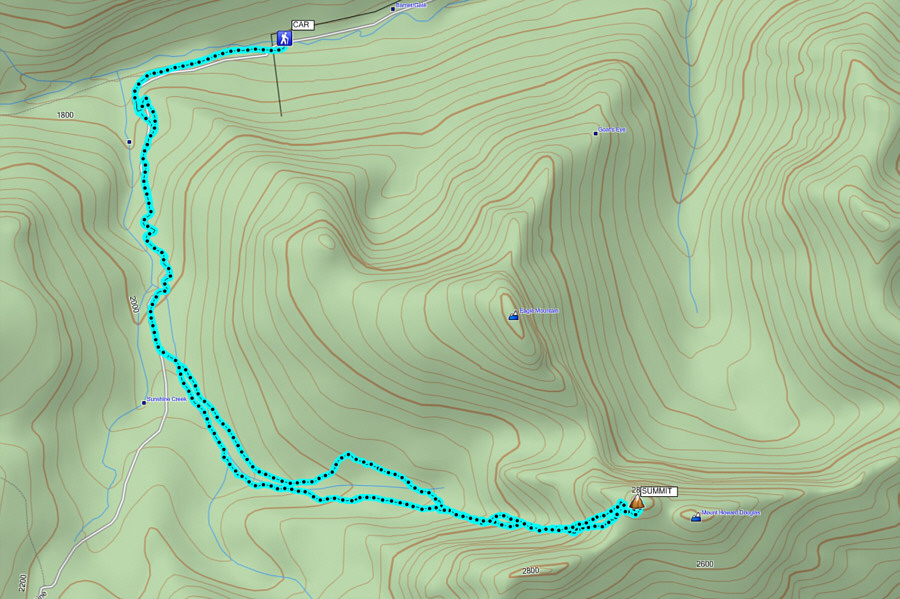
Distance: 15.7 kilometres Round-Trip Time: 8 hours 50 minutes Net Elevation Gain: 1215 metres |
