Photo courtesy of Zosia Zgolak
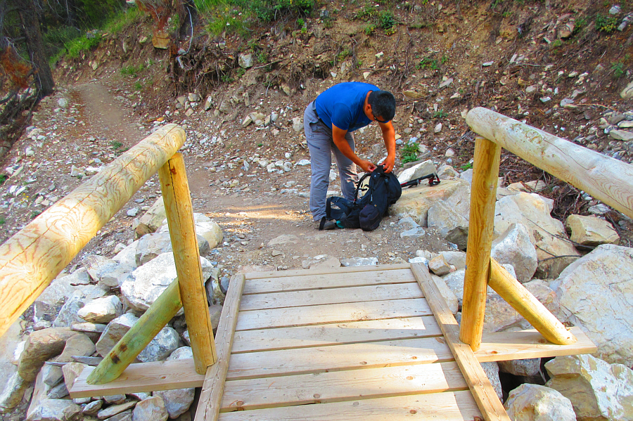
Photo courtesy of Zosia Zgolak
|
|
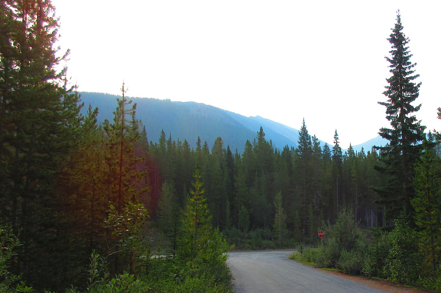
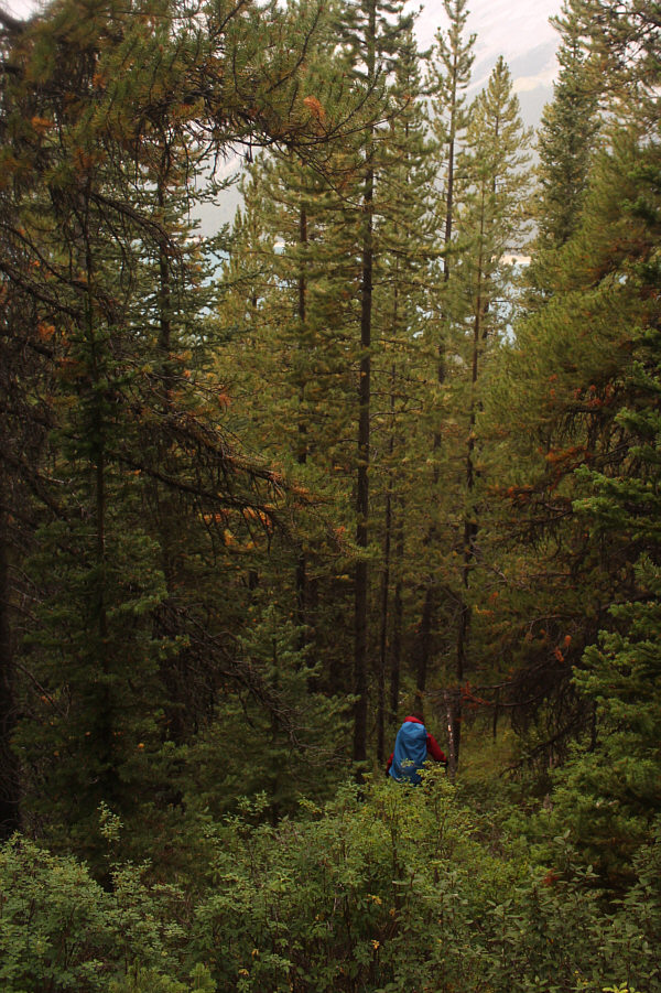
Red Ridge can be seen beyond the trees
from the Spray Lakes day use area. Photo courtesy of Zosia Zgolak |
|
|
Sonny adjusts his pack on the High
Rockies Trail. The trail to Red Ridge begins at the yellowish
rock (upper left). Photo courtesy of Zosia Zgolak |
|
|
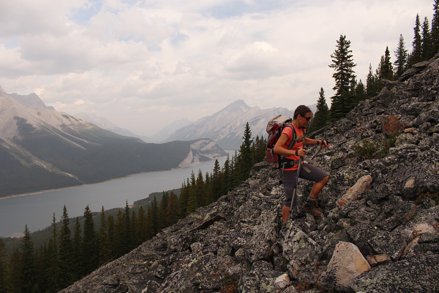
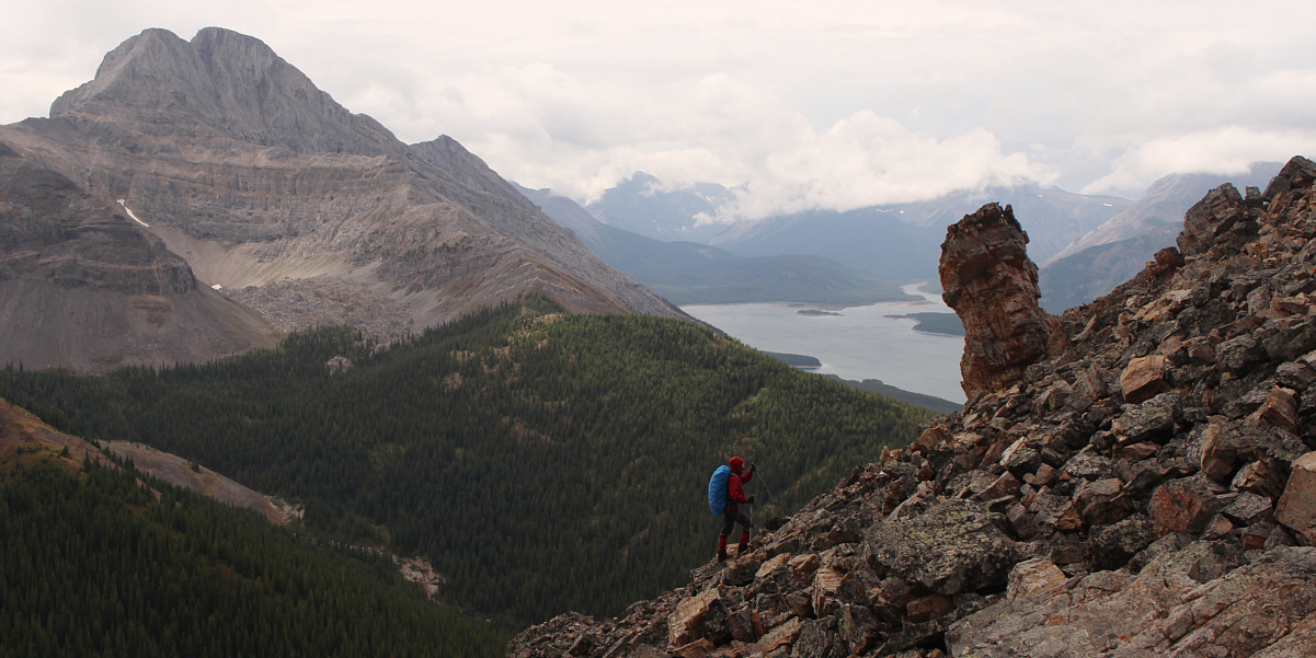
Zosia climbs up a big rubble slope with Spray Lakes Reservoir in the background. |
|
|
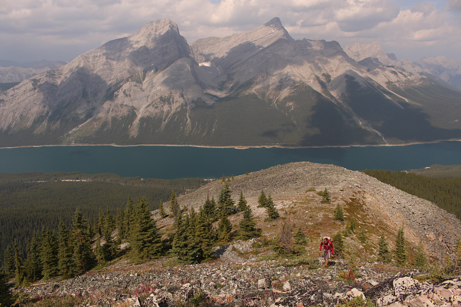
Mount Nestor and Old Goat Mountain can be seen across Spray Lakes Reservoir. |
|
|
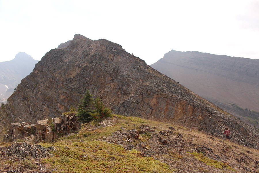
This is the first of several short dips along the ridge. |
|
|
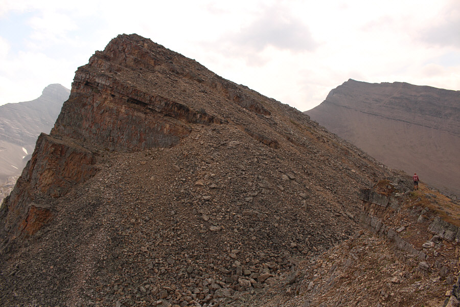
Zosia approaches yet another false summit along Red Ridge. |
|
|
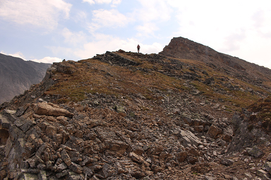
Higher up the ridge, the terrain becomes a little more challenging. |
|
|
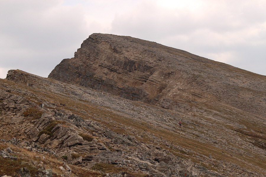
Zosia approaches the final rise before the high point of Red Ridge. |
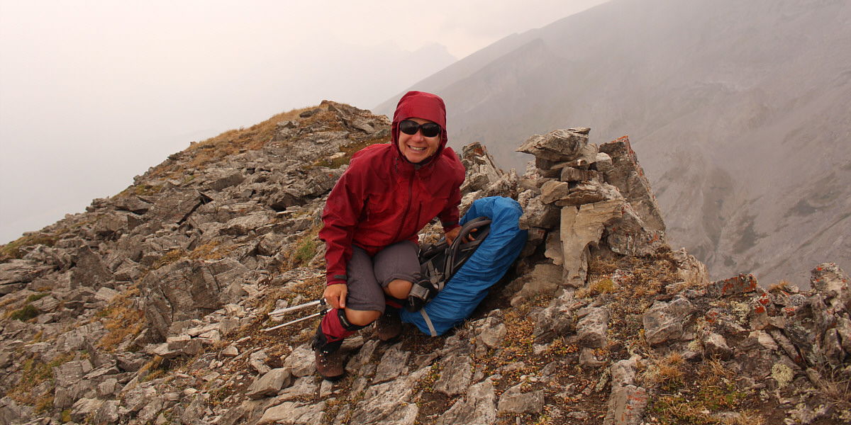
Zosia arrives at the summit of Red Ridge (2633 metres) in blowing rain.
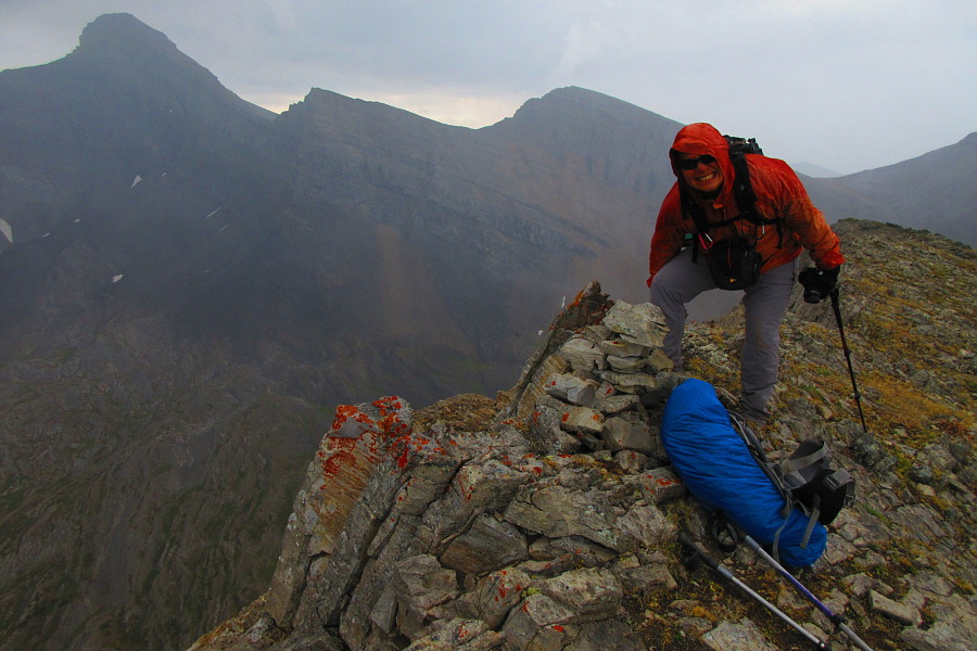 |
Despite the blowing rain,
Sonny is happy to tag another summit. At upper left is
Mount Bogart. Photo courtesy of Zosia Zgolak |
On the way back, Zosia approaches a striking pinnacle on the ridge. At far left is Mount Buller.
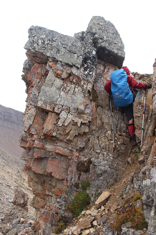 |
Zosia scrambles up a short chute which breaches a cliff band guarding the ridge. |
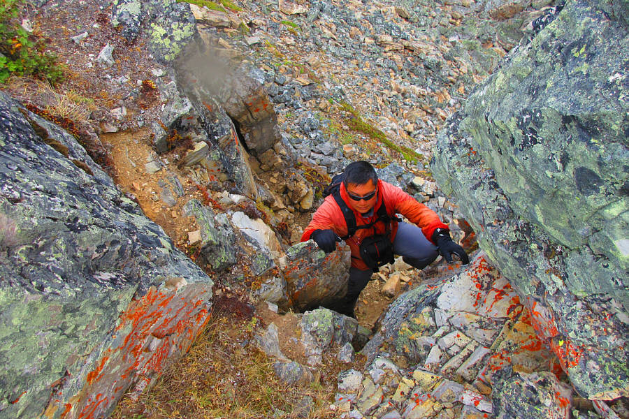 |
Sonny follows Zosia up the same chute. Photo courtesy of Zosia Zgolak |
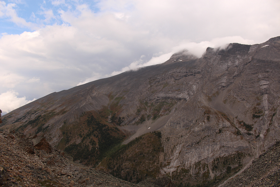 |
Across the valley to the northeast, the top of Mount Sparrowhawk is shrouded with clouds. |
 |
Zosia bushwhacks through the forest to avoid descending tedious rubble slopes. |
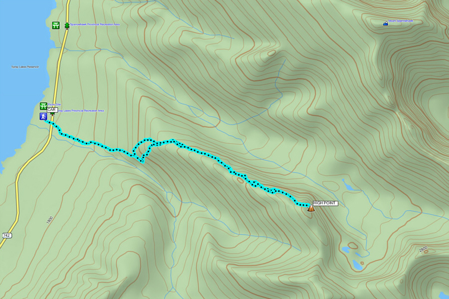 |
Total
Distance: 8.9 kilometres Round-Trip Time: 6 hours 4 minutes Net Elevation Gain: 898 metres |