BOU AVENUE
Valley Of Fire State Park
On 19 November 2018, I paid a visit to Nevada's Valley of Fire State Park.  I had previously visited the park in 2013, but there is much there that warrant repeated visits.  After camping the previous night outside the park, I drove through the east entrance and stopped for a leisurely breakfast at a picnic area known as the Cabins.  The warm sunshine and solitude made it tempting to linger there.
Strike a pose...Vogue! 
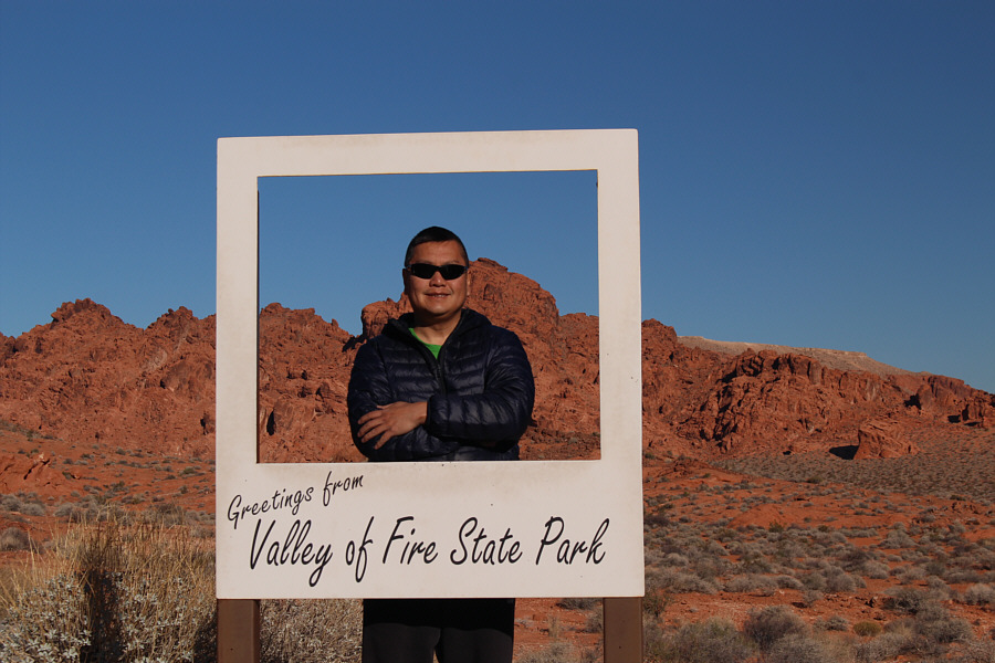
Sonny arrives at the east entrance to Valley of Fire State Park.
I wonder where the washroom is... 
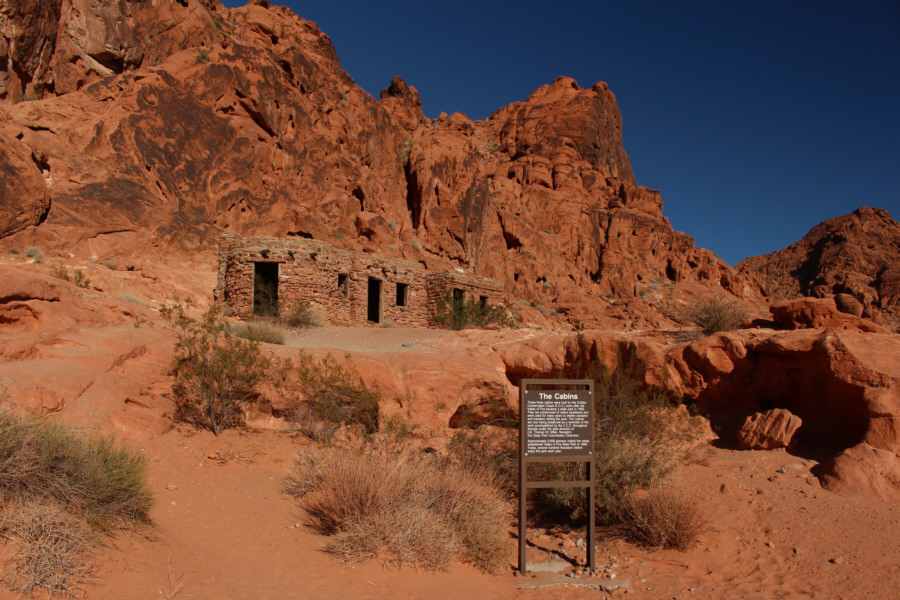
Made of native sandstone, the Cabins were constructed by the Civilian Conservation Corps in the 1930s to provide shelter for travelers.  The Cabins are located next to a picnic area near the east entrance of Valley of Fire State Park.
Once I had finished breakfast, I drove into the heart of the park and warmed up with a quick ascent of Silica Dome.  The turnoff to the trailhead for Silica Dome is along White Domes Road about 3.2 kilometres north of the park's visitors centre, and the trailhead parking lot (with vault toilet) is another 1.2 kilometres from the turnoff.  From the trailhead, a gated road runs south past the east side of Silica Dome.  An obvious trail branches off from this road and climbs most of the way up Silica Dome's east ridge.  There is some easy scrambling with mild exposure near the top.  The return is the same way.
For more challenge, try the right-hand ridge! 
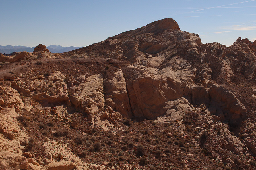
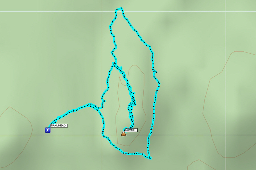
In this view from the trailhead parking lot, the route up Silica Dome swings far to the left and ascends the left-hand ridge.
There is some mild exposure, but it's hardly worth mentioning! 
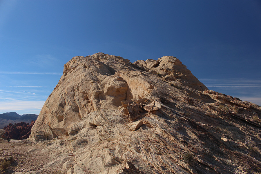
Some easy scrambling is required to reach the top of Silica Dome.
That was easy! 
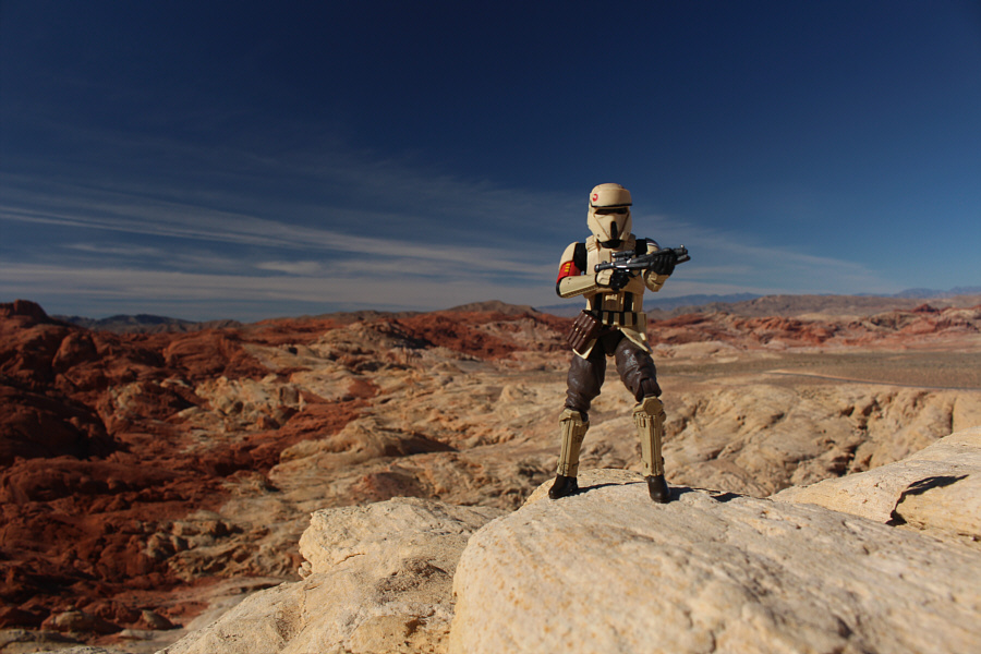
Sonny stands on the summit of Silica Dome (718 metres).
I wonder how long that water will be visible from here in the future... 
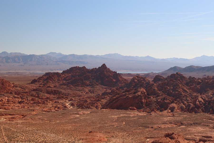
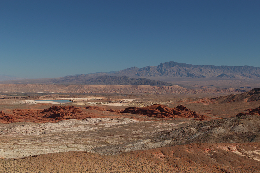
From the top of Silica Dome, bits of the Overton Arm of Lake Mead can be spotted to the southeast.  Also visible at left is a short section of Fire Canyon Wash.
I'm sure there's a geologically technical name for this! 
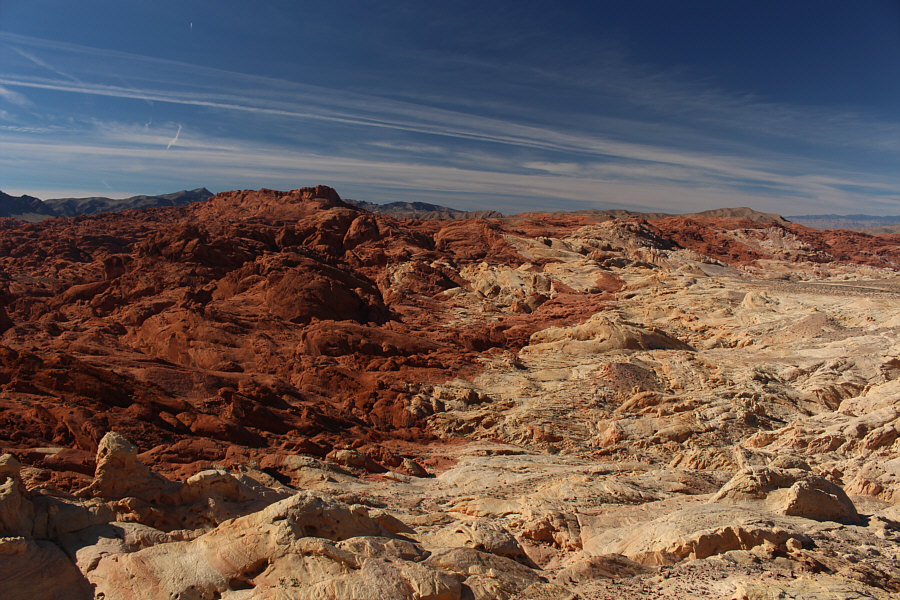
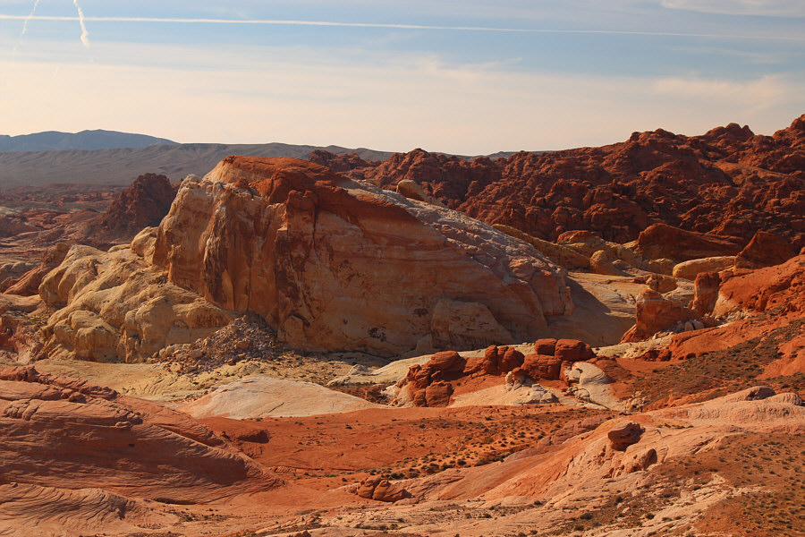
To the west is a transition zone between red and white rocks.
Moapa Peak is probably the best scramble in the vicinity of Las Vegas. Visible on the northern horizon are Moapa Peak (left of centre) and Davidson Peak (right).
High on my to-do list... 
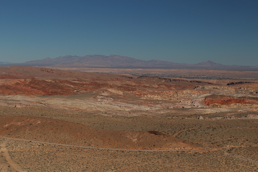
Virgin Peak (right of centre) dominates the eastern horizon.
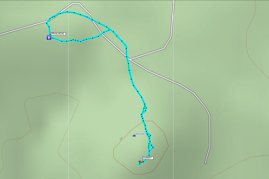
Bagging summits doesn't get any easier than this! Total Distance:  1.7 kilometres
Round-Trip Time:  53 minutes
Net Elevation Gain: 58 metres

GPX Data

After making short work of Silica Dome, I drove to the Fire Wave trailhead about 4.5 kilometres further north along White Domes Road.  Having already hiked to the Fire Wave in 2013, I was mainly interested in ascending Gibraltar Rock, an impressive rock fin situated just east of the trailhead.  Following a route description from summitpost.org, I started hiking eastward along the Fire Wave trail.  Although the route description states that the access begins from the south end of Gibraltar Rock, the actual access is from the north end.  Even before I set foot on the trail, I had already suspected this error, but I still walked around the south end just to be sure.

Are you up for the challenge?

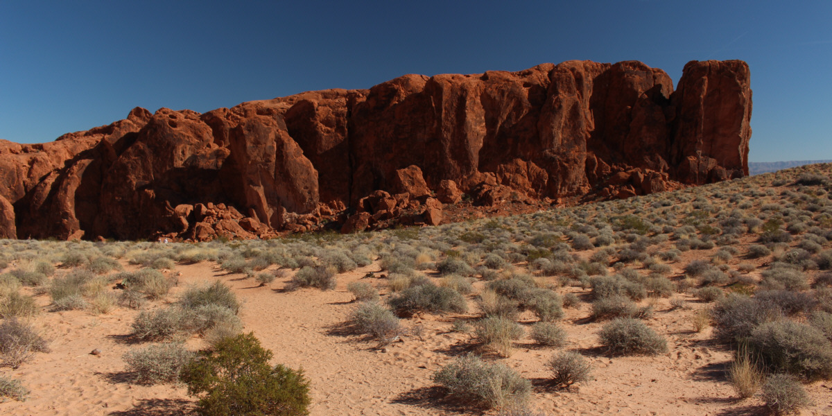
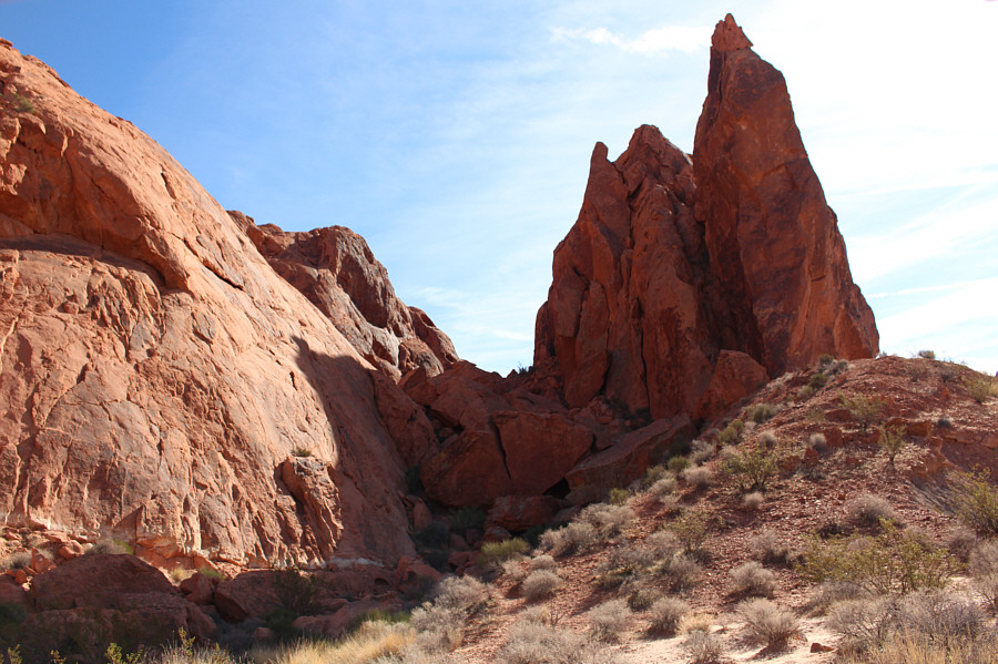
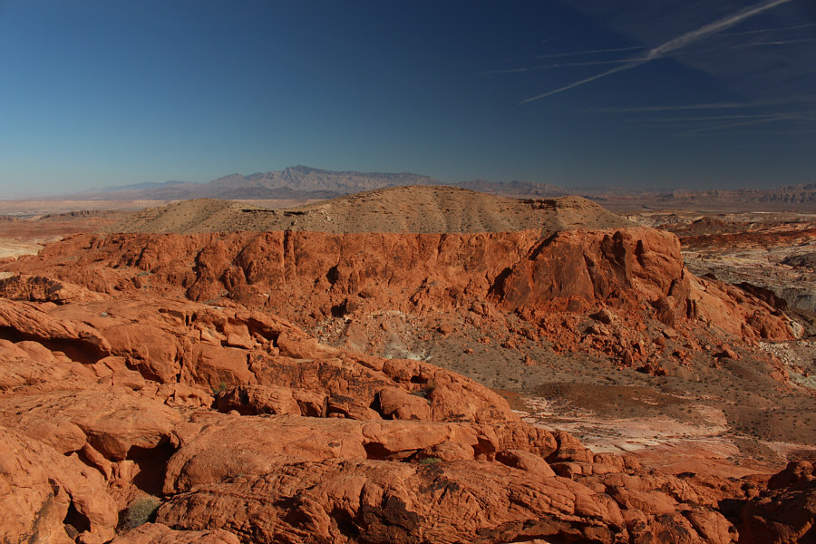
The western aspect of Gibraltar Rock presents an impregnable wall.


Try the north end instead! 
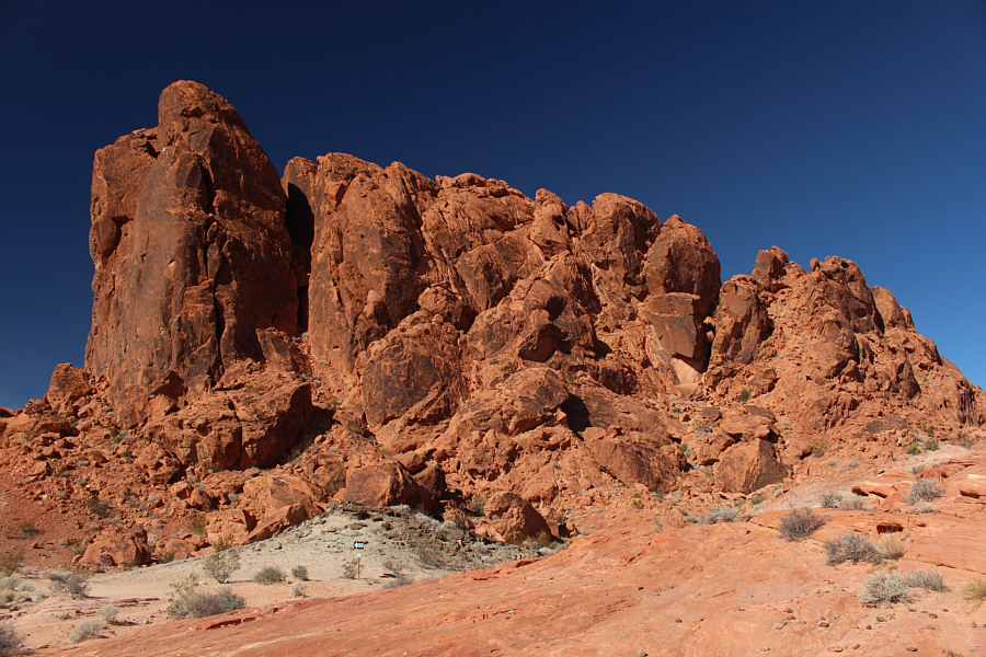
The south end of Gibraltar Rock does not offer any easy routes to the top.
I ended up partially circumnavigating the entire formation before entering a canyon at the north end which is the correct access.  Huge boulders guard the entrance to the canyon, and I had to do a bit of route-finding to get past these obstacles.  I subsequently hiked through a secluded meadow and a narrowing of the canyon before reaching the crux--a tilted Class 4 ramp beside a steep crack.  I initially climbed up alongside the crack but soon found myself moving further to climber's right onto the face of the ramp.  The exposure is certainly alarming at this spot, but the rock is generally good and grippy.
The big rocks at the entrance can be a little challenging to get through... 
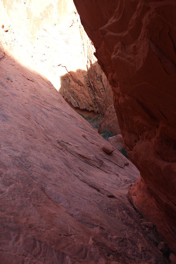
The scramble route enters this canyon at the north end of Gibraltar Rock.
Nice and quiet here. 
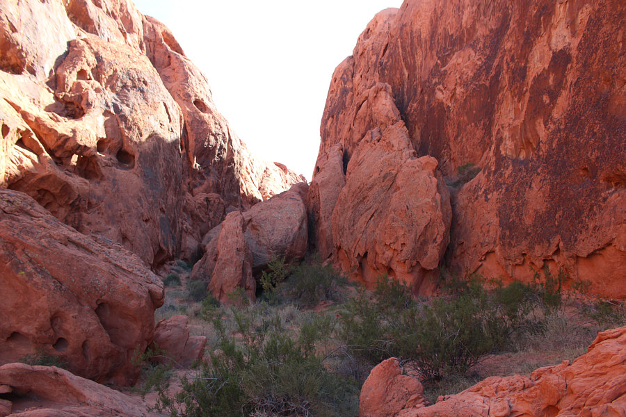
The scramble route continues past this secluded meadow in the canyon.
Reminds me of some interesting hikes in southern Utah. 
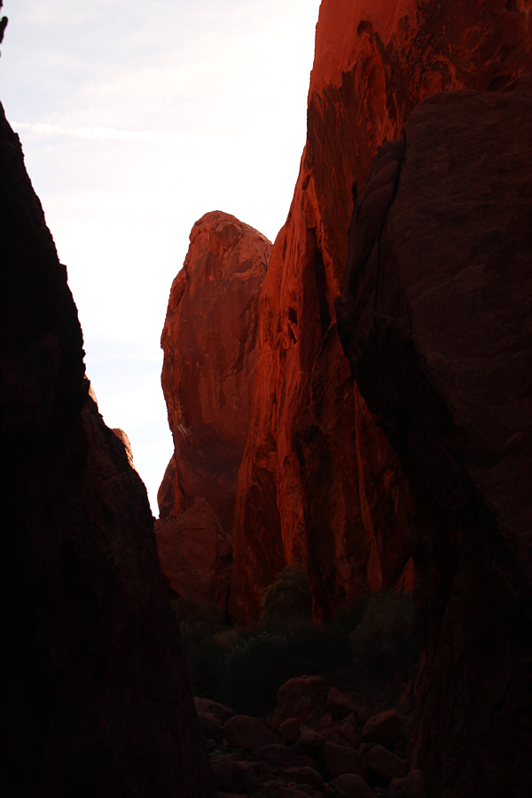
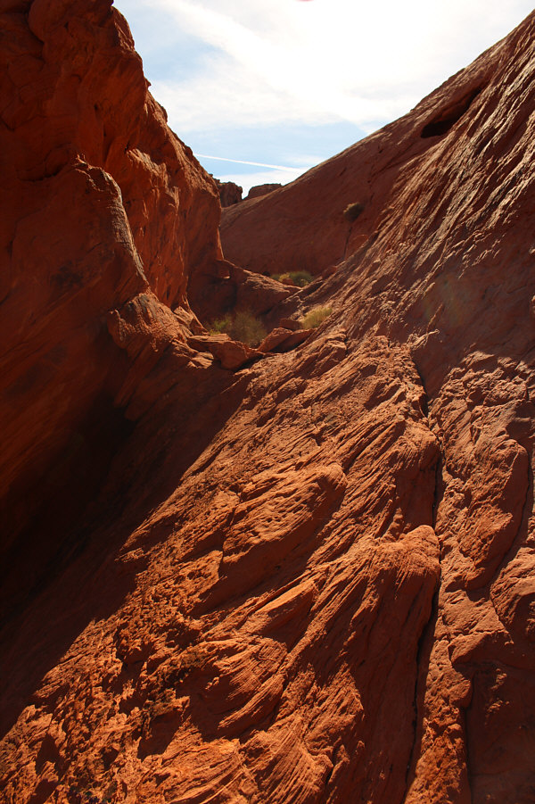
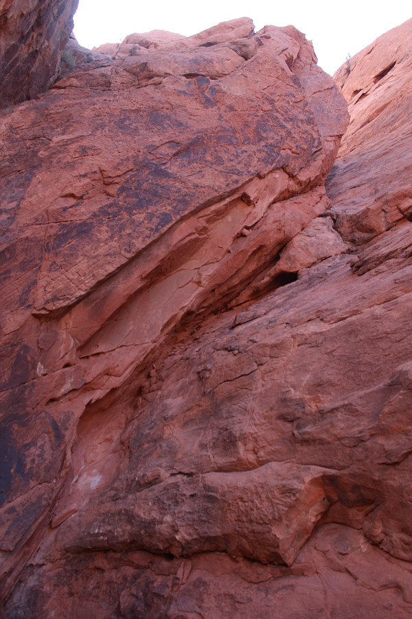
The red rocks look dramatic at this narrowing of the canyon.
This is where we separate the men from the boys... 
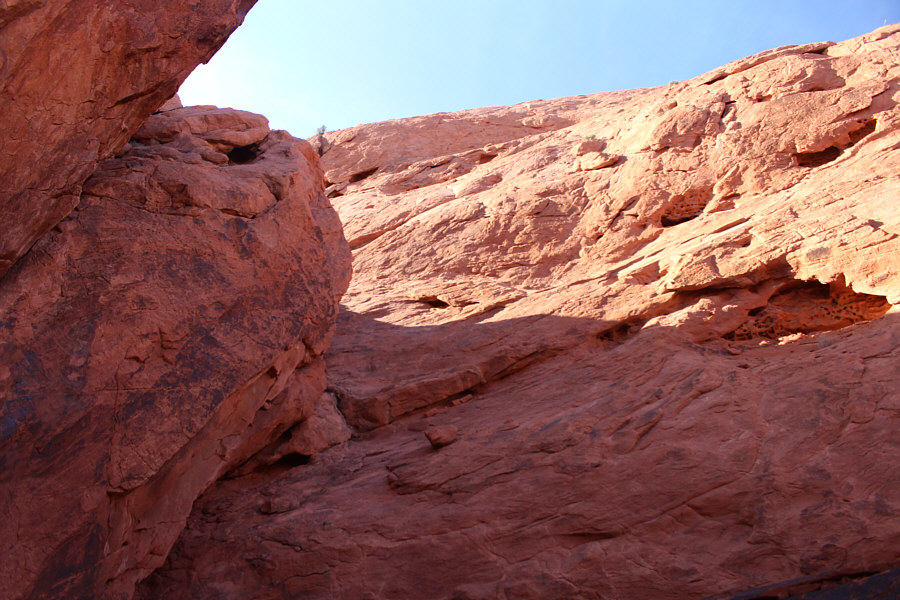
The crux of the scramble route is this Class 4 ramp.
Above the crux, I continued up a smaller canyon, and while the route description mentions climbing up another "Class 3/4" wall, I found it easier to just scramble up the canyon to where it levels out.  From there, I easily climbed out of the smaller canyon and onto one of several ribs near the top of Gibraltar Rock.  With some careful route-finding, I easily made my way to the highest point where I took a well-deserved and extended break.
Easy the rest of the way from here! A smaller canyon is found at the top of the crux section.
The photo is slightly out of focus, but it still conveys the same sentiment--YEAH!! Sonny stands near the highest point of Gibraltar Rock (666 metres).
Good luck trying to take a photo of the Fire Wave without people nearby! 
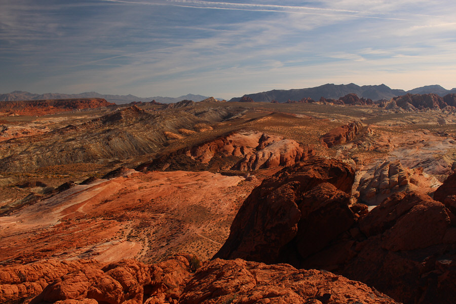
To the southeast, hordes of people can be seen at lower left visiting the Fire Wave which is actually visible at centre.  Silica Dome is also visible in the distance (left of centre).
That was a "fun" scramble too! White Domes sit a short distance away to the west.
I will definitely be back! An unnamed ridge to the east invites further exploration.
For my return, I simply retraced my steps back to the mouth of the canyon at the north end of Gibraltar Rock.  While descending the crux, I practically slithered all the way down the steep crack.  There were a couple of spots where I essentially wedged myself within the crack to prevent an involuntary slide.  Overall, my descent was not pretty, but I managed to get down safely without a scrape.

After exiting the canyon, I completed my circumnavigation of Gibraltar Rock and hiked back to the trailhead without further problems.  Satisfied with my accomplishments for the day, I subsequently drove out the west end of the park and headed for Las Vegas to check into a comfortable hotel.
Looks a bit daunting, doesn't it? This is looking back down the crux section from the top.
Expect to get a little dirty while descending! On descent, it is easiest to stay as close as possible to the crack.
Nailed it! 
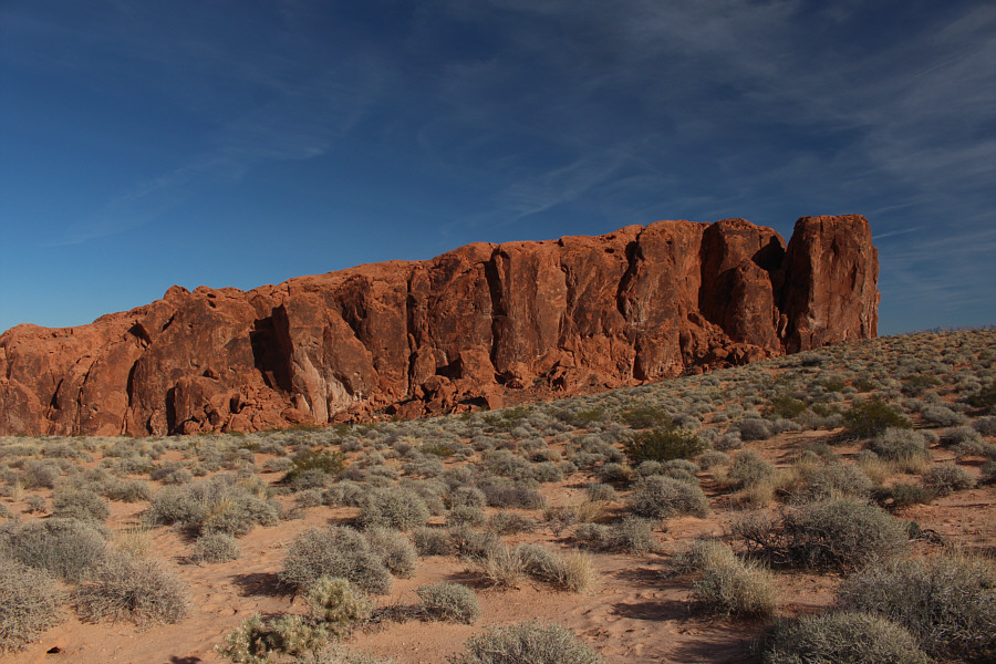
Here is a last look at Gibraltar Rock from near the road.
Not for everyone, but this is a really fun ascent for experienced scramblers. Total Distance:  3.2 kilometres (~1.1 kilometres without circumnavigation)
Round-Trip Time:  2 hours 18 minutes
Net Elevation Gain: 51 metres

GPX Data