BOU AVENUE
Bearing Peak
On our way to Las Vegas, Nevada on 24 December 2019, Zosia Zgolak and I stopped in Lake Mead National Recreation Area to hike up Bearing Peak.  I was keen on climbing this peak given its strategic location along the north shore of Lake Mead, but I knew the approach would be long and a bit complicated.  Fortunately, I was able to grab a GPS track from Peakbagger.com before our hike, and this would prove invaluable for navigating the numerous washes along the approach.

Starting from the trailhead (pullout along Northshore Road 24 kilometres east of the junction with Lake Mead Boulevard or 44 kilometres west of the junction with Valley of Fire Highway), Zosia and I followed a well-defined trail which soon descends into Cottonwood Wash.  We followed the wash to Cottonwood Spring where we had to scramble up a short pour-over before resuming our easy plod.  A little over a kilometre from the pour-over, we left the wash to take a brief short cut over a low ridge.  Dropping down the far side of the ridge, we regained the wash and followed it westward and around a bend to the south and east.  Where the wash begins to enter Pinto Valley, we left it for good and headed more or less southward across the desert flats toward an unnamed pass which is not readily obvious at first.  The route is rather ambiguous here, and we relied heavily on the downloaded GPS track to keep us pointed in the right direction.  Even with the GPS track, I inadvertently led us into an incorrect drainage, but thankfully, we did not get far before I realized my mistake.
This was my 3rd (and Zosia's 2nd) time hiking up Cottonwood Wash. 
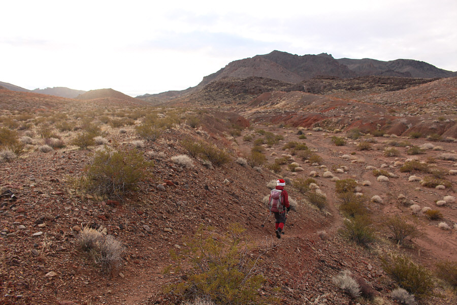
Zosia begins the long hike with a familiar descent into Cottonwood Wash.
Seemed trickier to get up this time... 
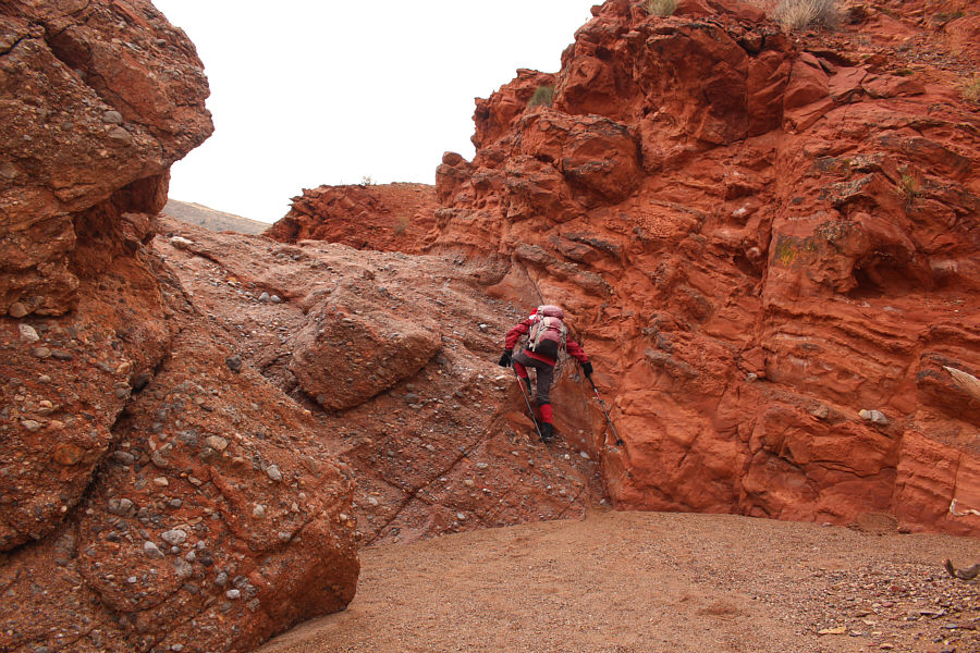
Zosia scrambles up the pour-over at Cottonwood Spring.
Maybe we should have brought skis... 
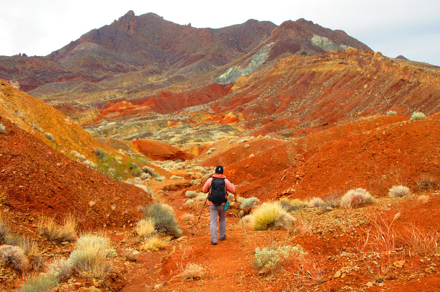
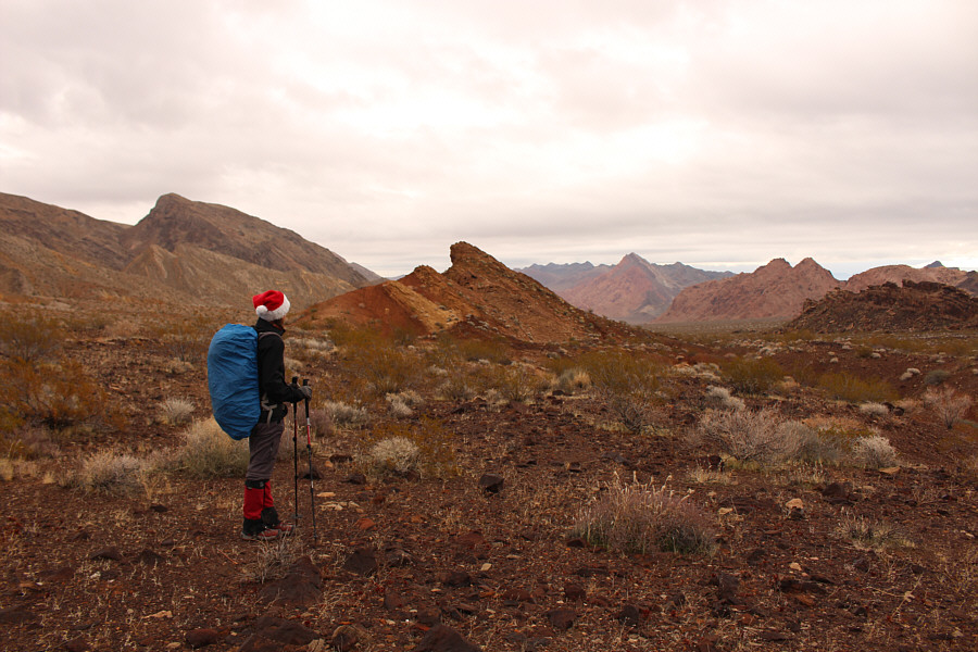
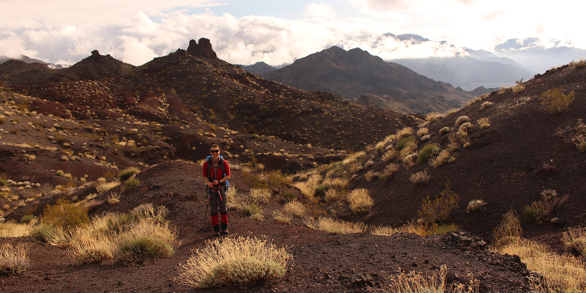
After taking a brief short cut, Sonny regains the trail and enters a very colourful valley below the northeast aspect of Hamblin Mountain.

Photo courtesy of Zosia Zgolak

"Flats" is a misnomer as there are lots of little annoying ups and downs here! 
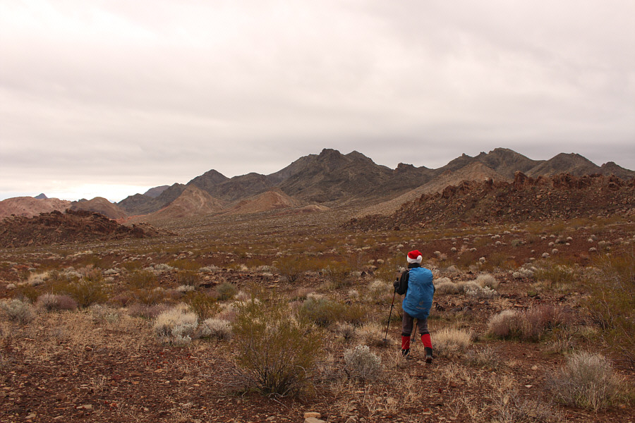
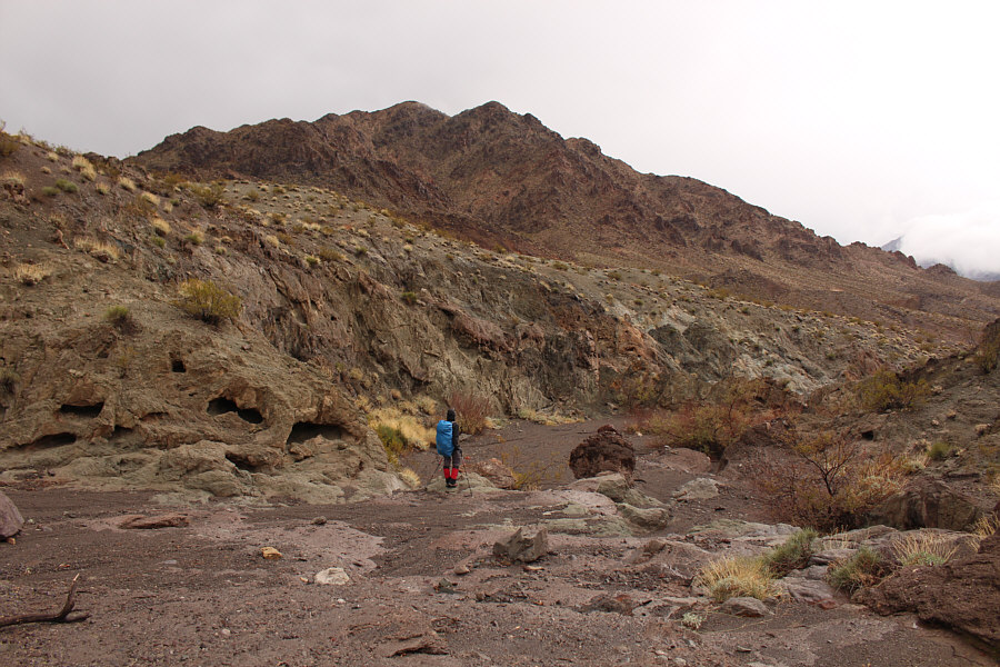
Leaving the trail, Zosia heads across the flats aiming for where the right rocky ridge peters out.
There is still much to explore here... While crossing the flats, Zosia pauses to gaze at some of the colourful peaks in Pinto Valley.
Upon reaching the crest of the pass, Zosia and I got our first good look at Bearing Peak, but at the same time, a light rain began to fall, steadily for a short while and then intermittently for the next several hours.  We pressed on southward after donning our rain gear and eventually came across some cairns while descending into an interesting canyon.  This canyon turns into another long and winding wash that runs past the west side of Bearing Peak.  About two kilometres south of the pass, an unmistakable pinnacle stands alone in the middle of the wash.  About 100 metres further, yet another wash enters from the left.  We turned up this intersecting wash and almost immediately found the entrance to another canyon below the northwest slopes of Bearing Peak.  This canyon leads to a steep drainage which runs all the way up to the summit ridge.  Some easy scrambling is required to get up one or two pour-overs in the canyon, but otherwise, the rest of the ascent is nothing more than steep off-trail hiking.
And it's raining...sigh. 
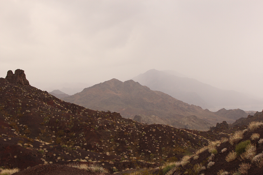
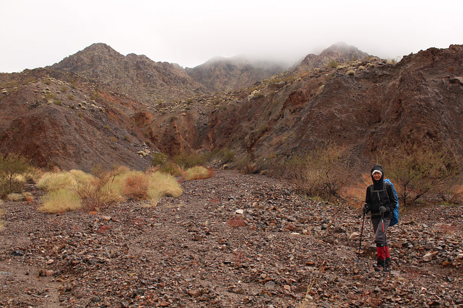
This is the first glimpse of Bearing Peak from an unnamed pass east of Hamblin Mountain.
BBQ-flavoured Bits & Bites! Mmmmmmm!! 
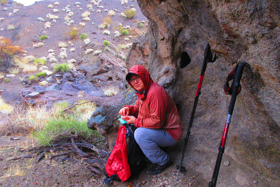
Sonny finds a bit of shelter from the light rain and stops for a quick snack.

Photo courtesy of Zosia Zgolak

These washes just never seem to end! 
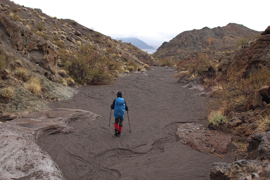
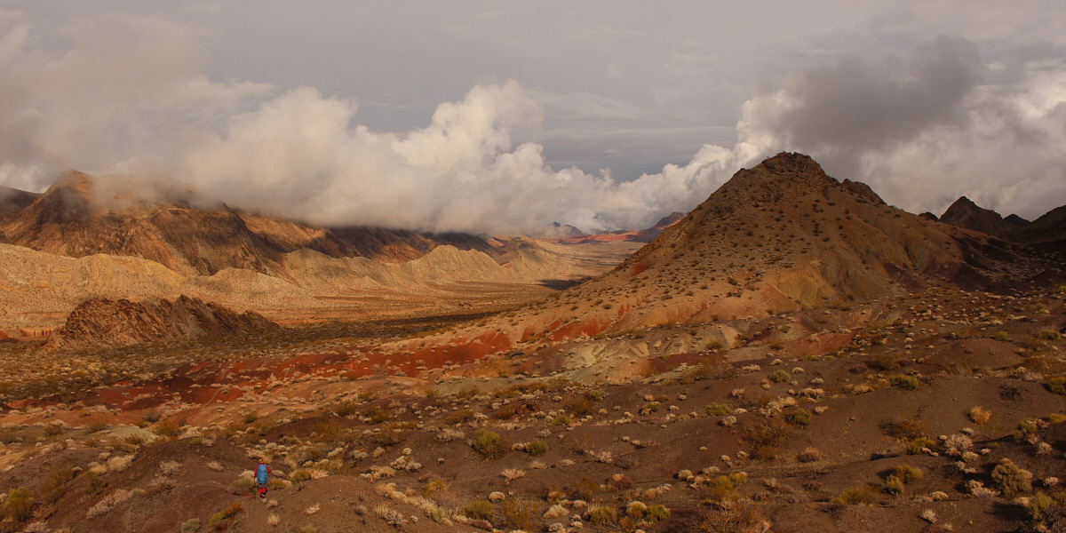
A small portion of Lake Mead is visible in the distance as Zosia descends a wash to the south of the unnamed pass.
It doesn't appear any closer! Bearing Peak is visible again as Zosia continues down the wash.
Looks like a fun bouldering rock! 
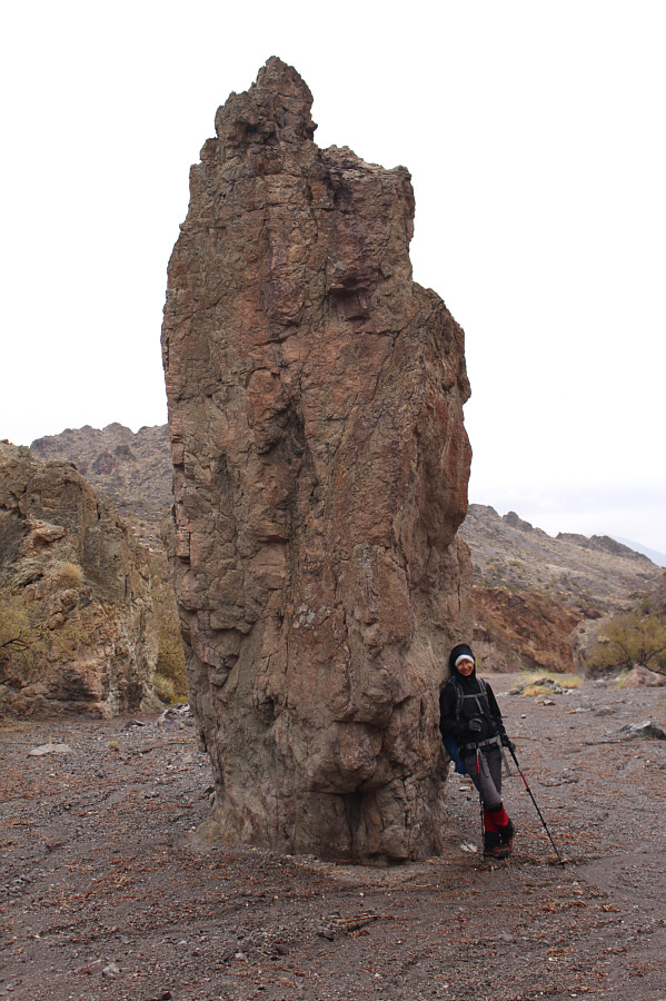
Zosia leans against a prominent pinnacle not far from where the route bends eastward to briefly follow another wash.
This is the key to the ascent! 
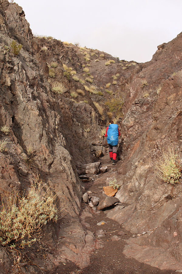
Zosia enters a canyon on the northwest side of Bearing Peak.
No helmet necessary; Santa hat optional! 
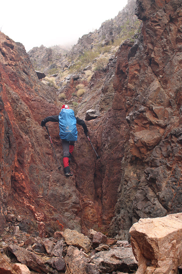
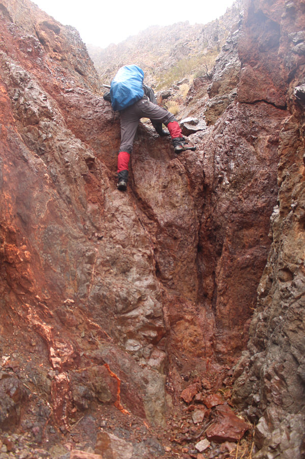
Some scrambling is required to proceed up the canyon.
It's a good grunt! 
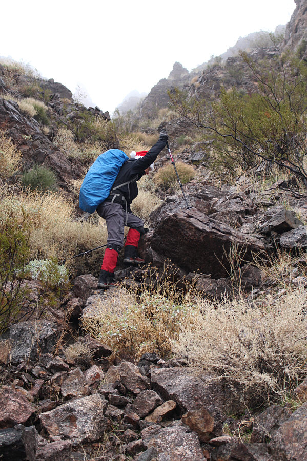
Zosia grinds her way up a steep drainage.
Just below the summit, Zosia and I spotted two bighorn sheep who appeared to be astonished by our presence.  They quickly moved off as we took our last steps to the top of the mountain.  Despite being surrounded by rainy mist, we were still granted some respectable views of Lake Mead, but having stood on a few other summits in the area during much clearer weather, I could not help but feel a little disappointed at the lack of far-reaching views on this day.  Fittingly, the rain, which had abated somewhat during our ascent, returned to chase us off the summit, but fortunately, it was again light and did not adversely affect our descent of the drainage and canyon.  In fact, the sky eventually cleared up, and we were finally treated to some much-welcomed sunshine as we marched back up the wash to the canyon below the unnamed pass.  After climbing through the canyon and over the pass, we had an easier time finding our way back across the desert flats to regain our approach wash near the entrance to Pinto Valley.  The rest of our hike out was long but uneventful.
Almost there... 
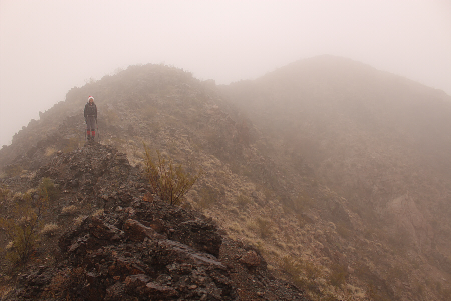
The summit is barely visible through the mist.
What's not to lichen about it? 
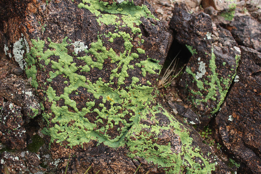
Some of the rocks here harbour an eye-catching lime-green lichen.
Sheep: WTF are these bipedal beasts doing here?? 
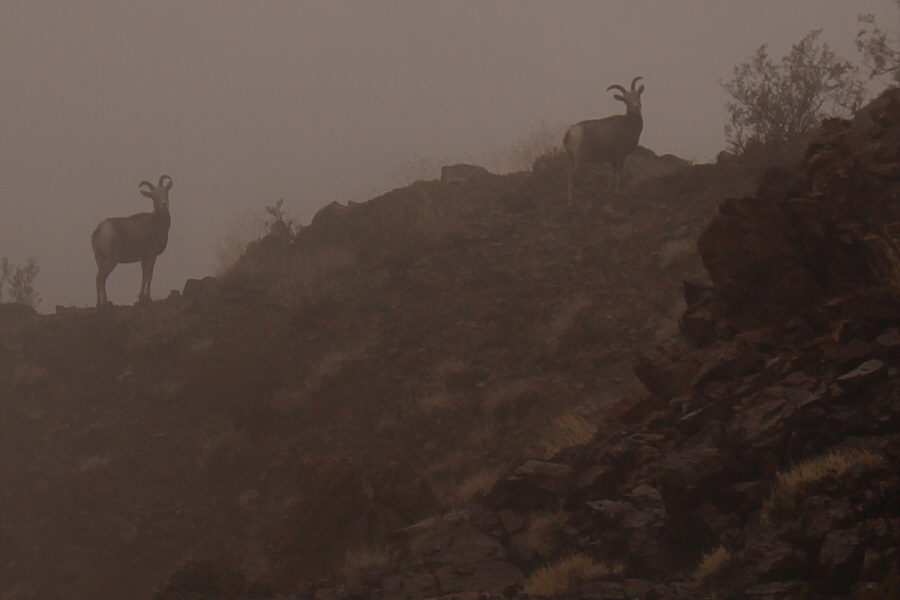
These two bighorn sheep seem a little surprised to see people tramping up Bearing Peak.

I was so disappointed that we didn't have clearer weather!

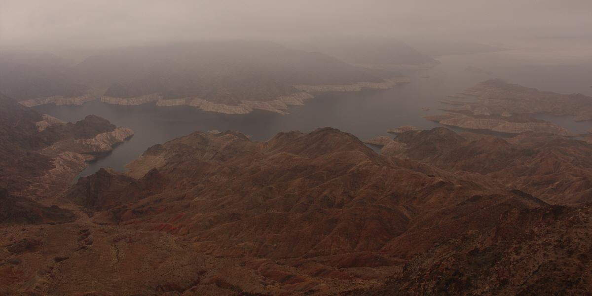
Despite rainy conditions on this day, there is still a respectable view of Lake Mead from the summit of Bearing Peak.


The soggy summit can't dampen our Christmas cheer! 
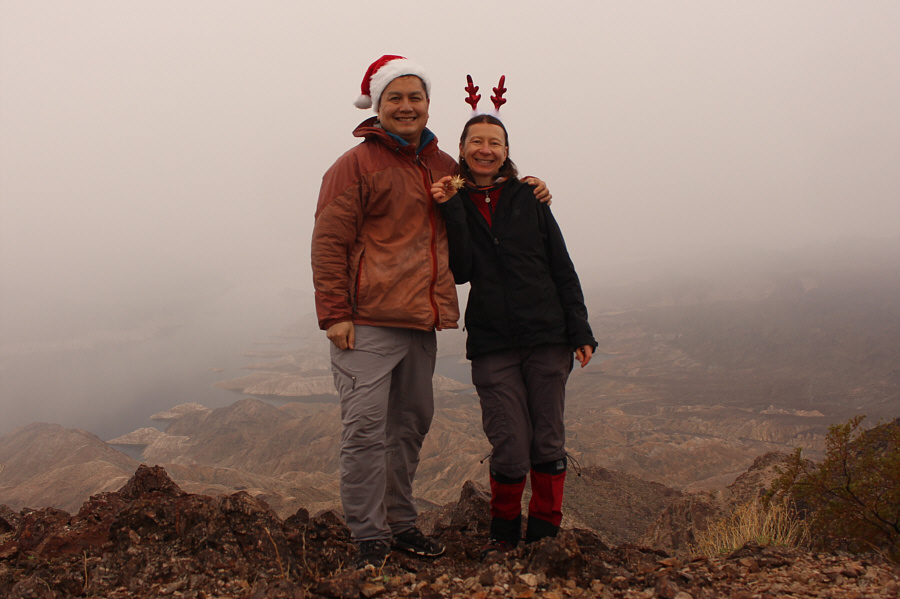
Sonny and Zosia stand on the summit of Bearing Peak (772 metres).
A little trickier to down-climb... Zosia down-climbs the same drop-off she scrambled up earlier.
This canyon was quite fun to hike through. The sun comes out again as Zosia retraces her steps through the canyon south of the unnamed pass.

Cool landscape!

Here is a last look at Bearing Peak (right) from the unnamed pass.


This was some of the most enjoyable hiking of the day.

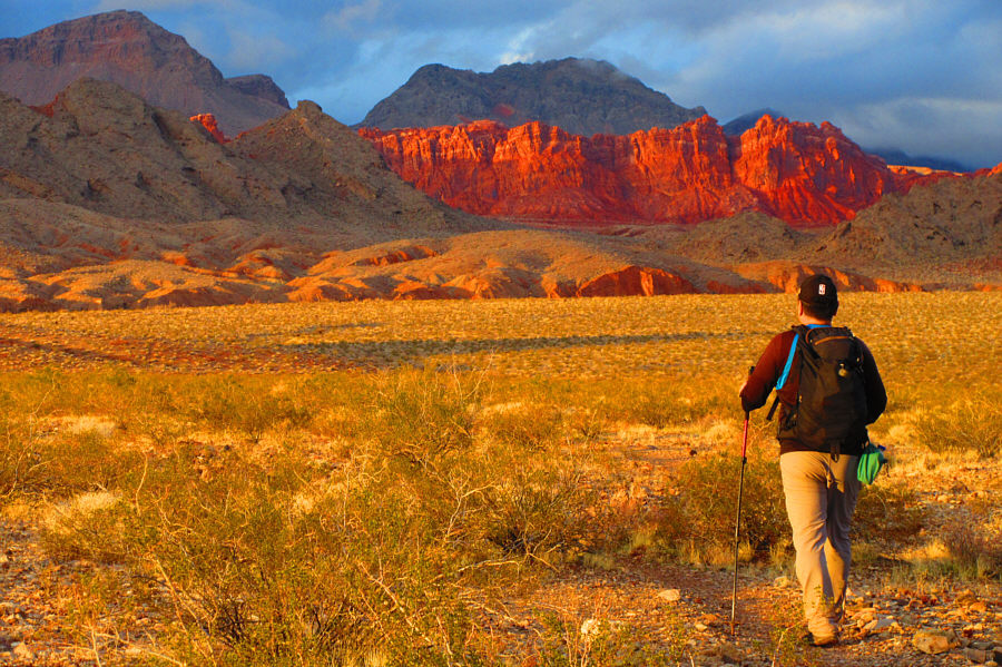
Clouds shroud the peaks of Pinto Valley as Zosia descends the north side of the unnamed pass.


A great reward at the end of a long hike! The cliffs at Bowl of Fire live up to their name as Sonny returns to the trailhead late in the day.

Photo courtesy of Zosia Zgolak
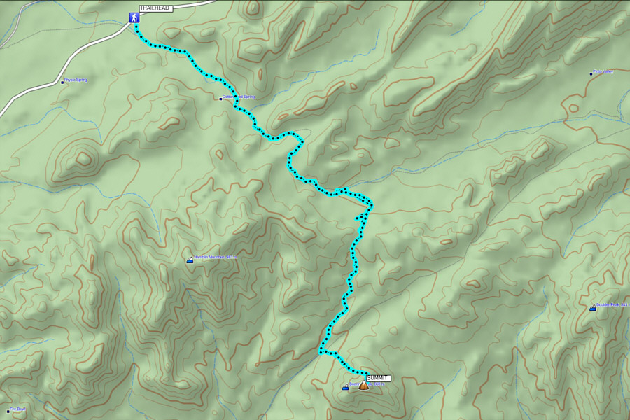
A truly fantastic hike, but wait for a bluebird day! Total Distance:  ~20.6 kilometres
Round-Trip Time:  8 hours 29 minutes
Total Elevation Gain:  860 metres

GPX Data