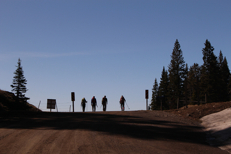
Having two vehicles made it easy to set up a car shuttle for our traverse. We first stopped at the access point for Hearts Peak and left So's car there. The six of us then squeezed into my Honda CR-V, and I managed to drive about 3 kilometres further up Adanac Road before being stopped by a short but impassable snow patch. We started hiking from here.
Crossing the snow patch, we continued along Adanac Road and soon reached the provincial park boundary where we turned west onto the exploration road leading to Clubs Peak. We followed this road for another 2 kilometres (passing a junction with the road to Spades Peak at the 1.8-kilometre mark) to the base of Clubs Peak. Had there been less snow, I probably could have driven all the way to this point. Leaving the road here, we climbed about 90 metres up a grassy slope to reach the summit of Clubs Peak.
 |
The group leaves behind Sonny's car and continues walking up Adanac Road. |
 |
The group arrives at the boundary of Castle Provincial Park. The exploration road leading to Clubs Peak heads off to the right here. |
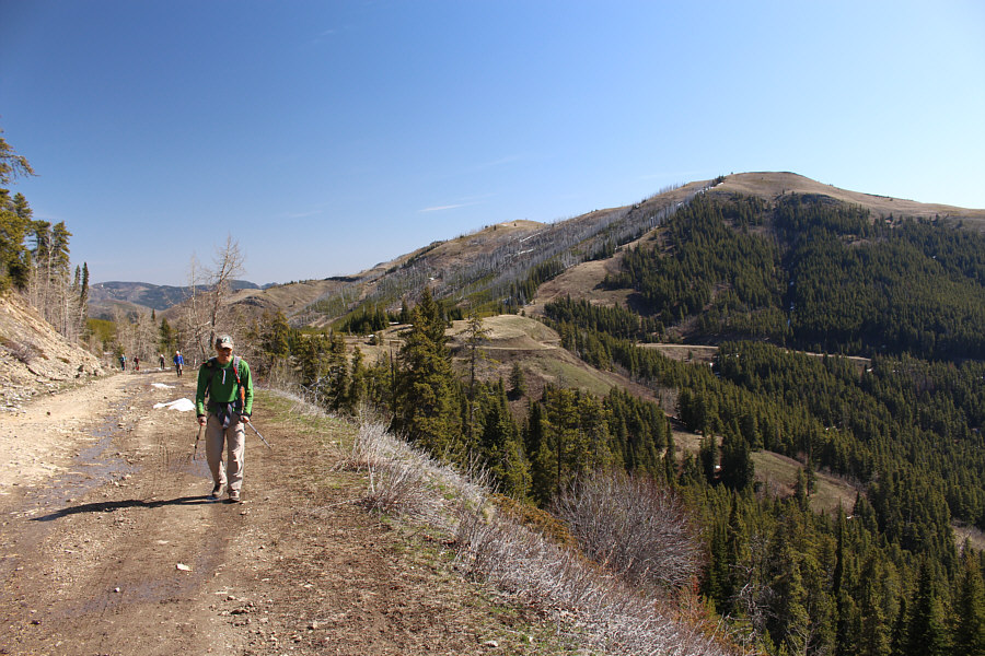 |
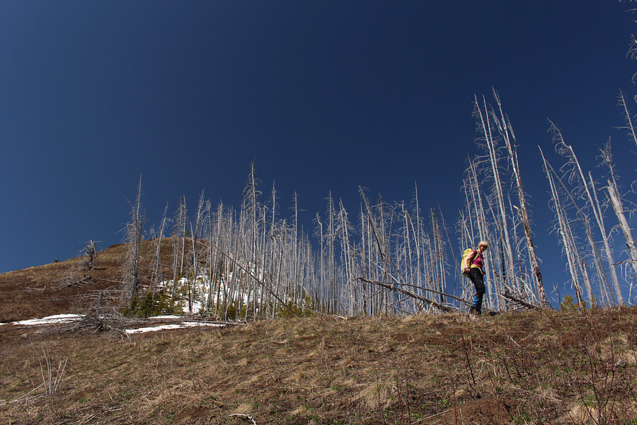
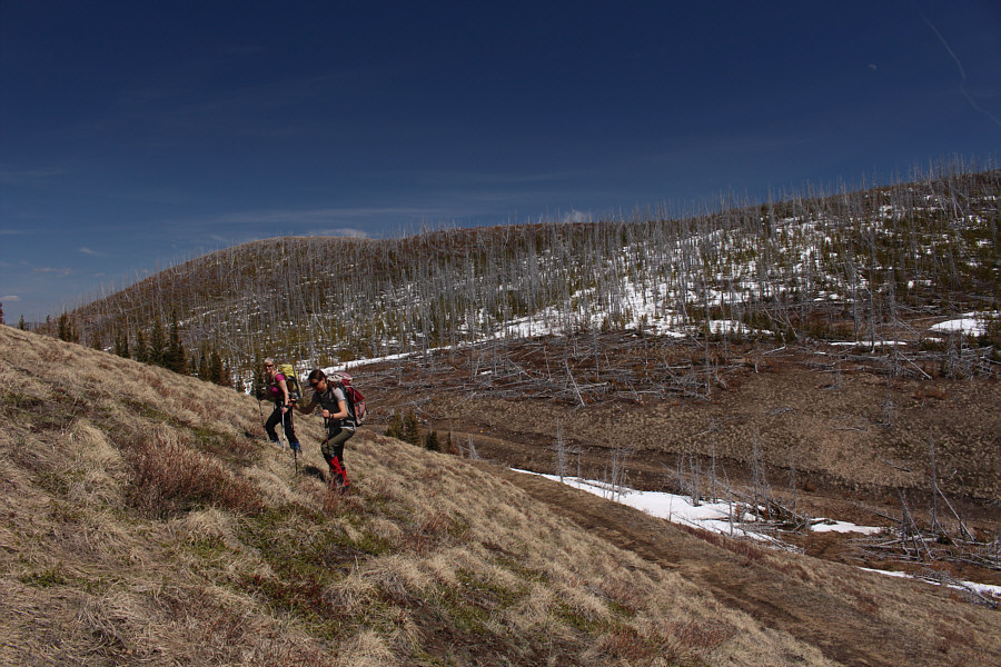
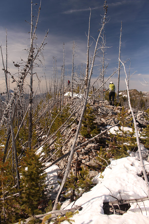
So walks along the exploration road leading to Clubs Peak. At right is unofficially-named Poker Peak. |
 |
So and Ali break trail through a snow-covered section of the exploration road leading to Clubs Peak. |
 |
The group climbs up a grassy slope on the south side of Clubs Peak. |
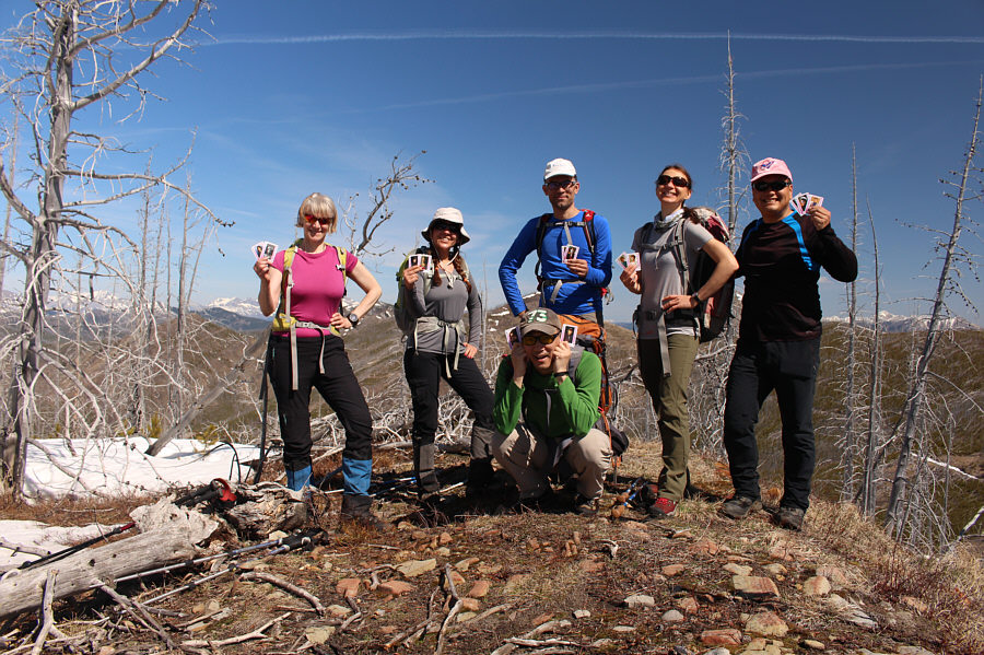 |
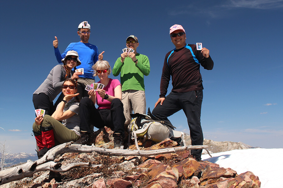
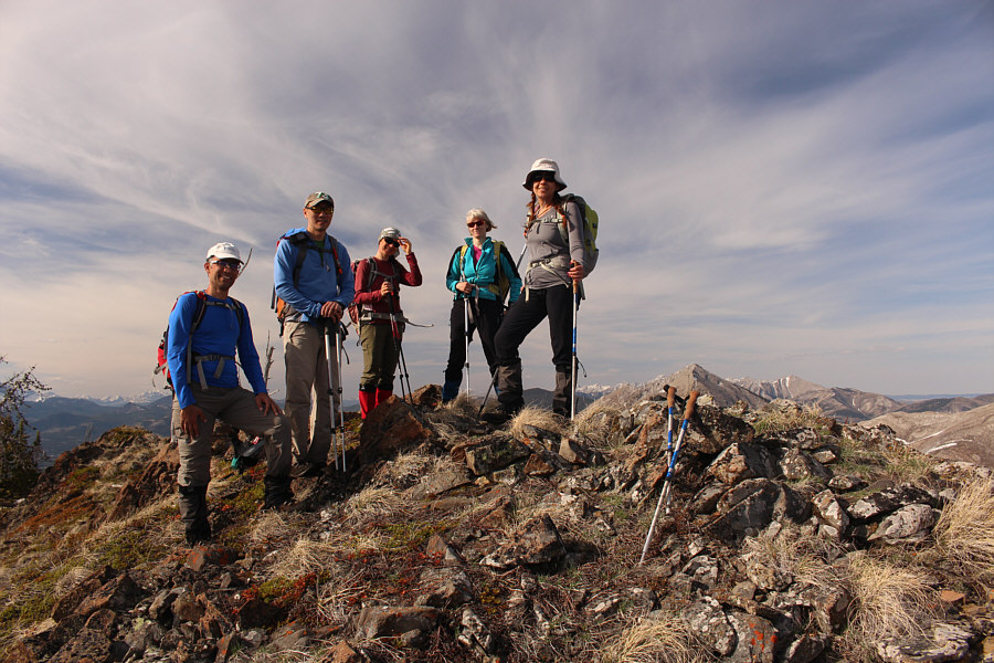
Marta, Asieh, Ali, Zosia and Sonny stand behind crouching So on the summit of Clubs Peak (1943 metres). |
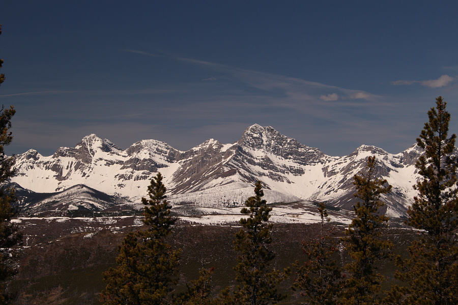 |
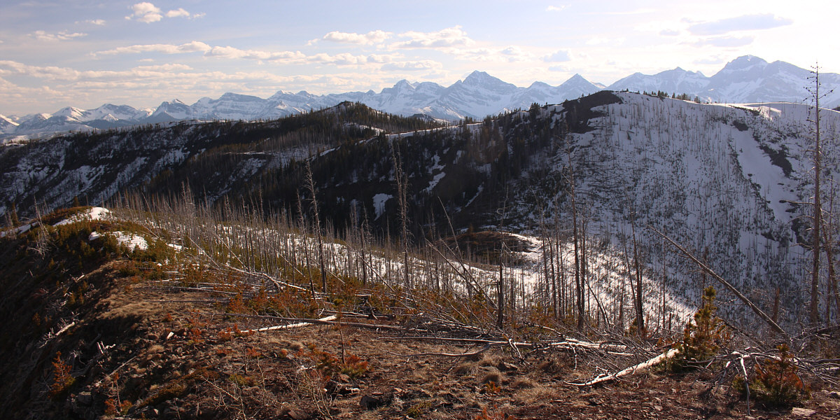
Trees partially block Clubs Peak's summit views to the west. Right of centre is Mount Darrah. |
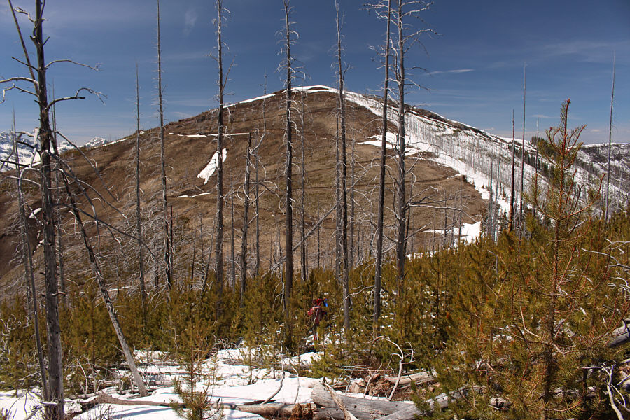
The ridge crest itself was not free from deadfall, but we could step over or around much of it at least initially. We started running into more snow further north which hampered our progress, but everyone in our group except for me did a great job of route-finding and breaking trail. As we got closer to Spades Peak, we left the ridge crest and descended through some more moderate bush to once again intersect the logging road. Devoid of the deadfall and snow we encountered on the connecting ridge from Clubs Peak, the southeast slopes of Spades Peak proved to be easy to climb up, and we were soon standing atop our second high point of the day.
 |
Marta passes some dead trees as she descends the east ridge of Clubs Peak. |
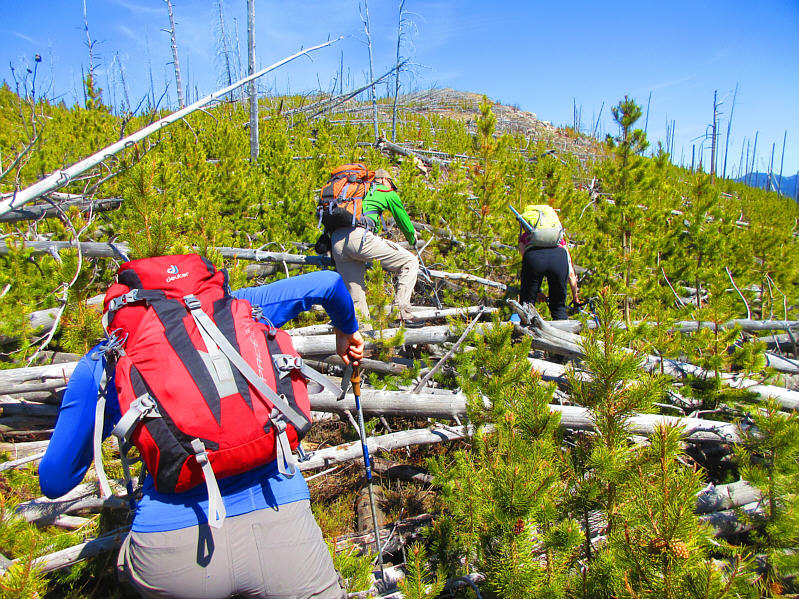 |
Ali, So and Marta climb over a tangle
of deadfall near the beginning of the connecting ridge between Clubs
Peak and Spades Peak. Photo courtesy of Zosia Zgolak |
 |
Much of the annoying deadfall covering the ridge crest appears to have been toppled by a strong westerly wind. |

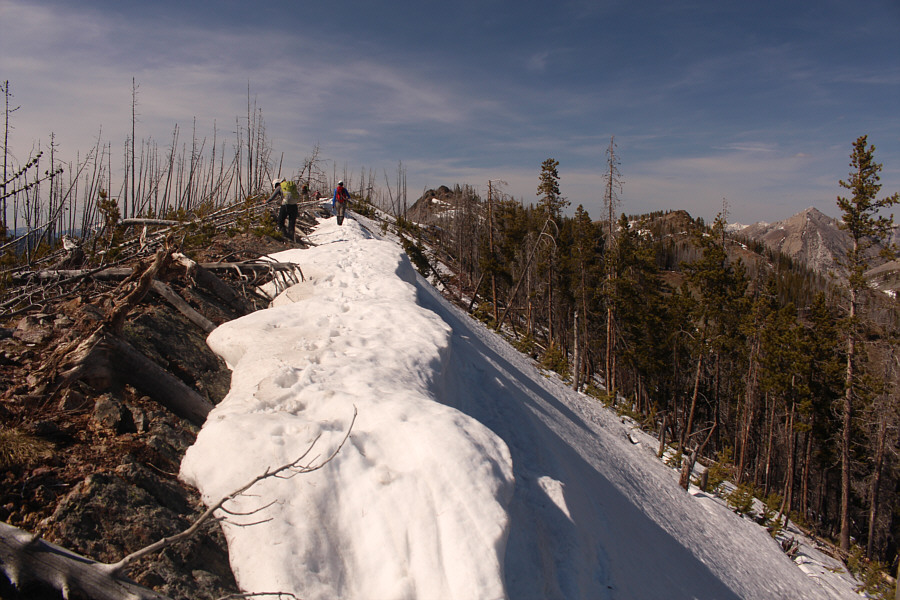
The group continues along the ridge crest toward Spades Peak at left. At distant right is Hillcrest Mountain.
 |
Unsupportive snow complicates travel along the ridge crest. |
 |
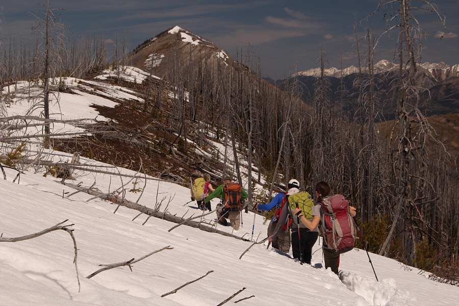
The group abandons the ridge crest and makes a beeline for the open southeast slopes of Spades Peak. |
 |
A logging road zigzags up the southeast slopes of Spades Peak. |
 |
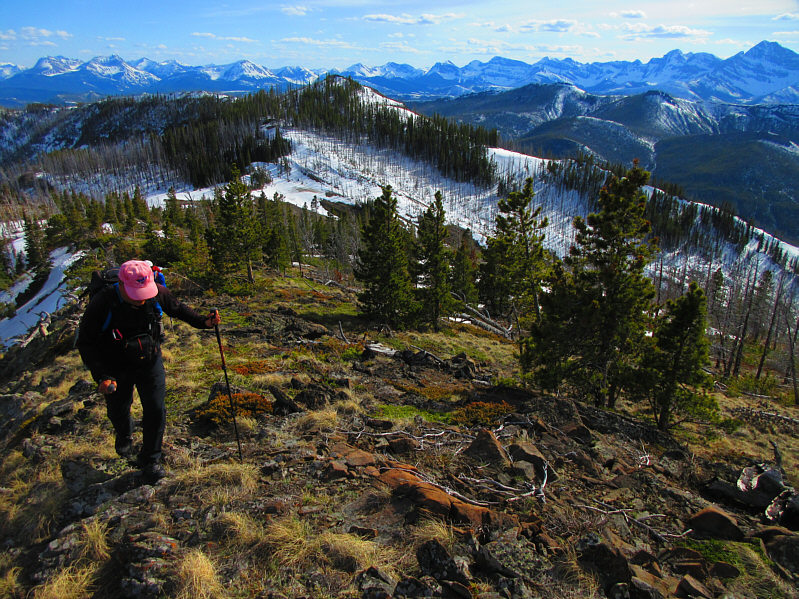
Marta and Zosia climb up the easy southeast slopes of Spades Peak. |
 |
The group poses on the summit of Spades Peak (2018 metres). |
 |
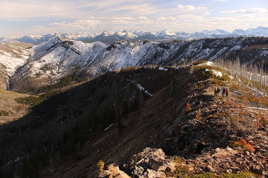
From the summit of Spades Peak, this is looking back at the connecting ridge to Clubs Peak (far right). Note the logging road running the length of the ridge well below the crest. |
 |
The view to the north includes Hearts Peak (left), Turtle Mountain (left of centre in the distance) and Hillcrest Mountain. The group would later utilize the road that is visible to hike out. |
 |
The group hikes the next section of Hastings Ridge after leaving the summit of Spades Peak. |
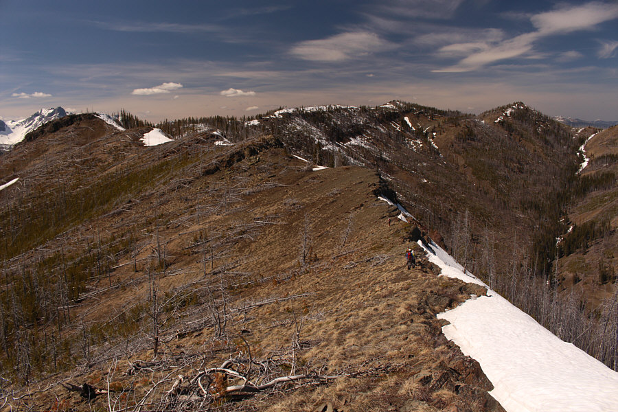 |
Some sections of Hastings Ridge are open and easy to hike. In the distance at right are the two highest points of the ridge. Both are of equal height. |
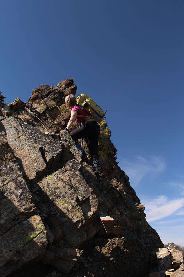 |
Marta relishes any opportunity for hands-on scrambling even though this short cliff is entirely avoidable. |
 |
It is easier to walk on the rather benign snow cornice along this section of the ridge. |
 |
Once again, windblown deadfall complicates travel along the ridge crest. |
 |
Sonny joins Ali, Marta and So on the
first
(H1; 2026 metres)
of the two highest points of Hastings Ridge. Spades Peak
can be seen in the distance at upper left. Photo courtesy of Zosia Zgolak |

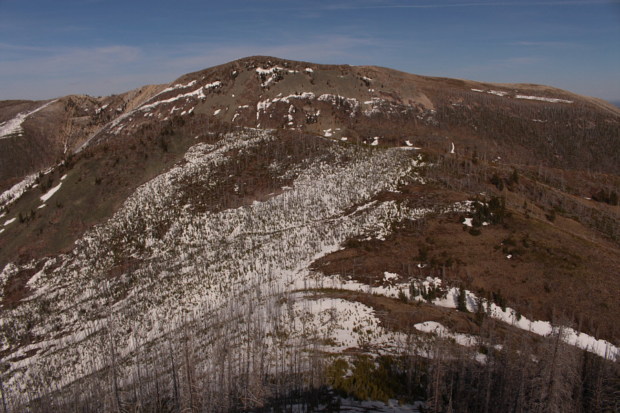
Here is a comprehensive view of Hastings Ridge from the top of H1. Both Spades Peak and Clubs Peak are visible at the far end of the ridge to the south.
Asieh, So, Ali, Marta, Zosia and I stayed only briefly at the top of H1 before dropping down its snow-covered northeast slope. Some of the post-holing here was pretty bad, but at least it was short-lived. We soon leveled out and began climbing up again, and shortly thereafter, we were atop the second unnamed high point which I dub as "H2". Both H1 and H2 are roughly of equal height, and they are also the highest points of Hastings Ridge.
 |
The group descends the snowy and forested northeast side of H1. |
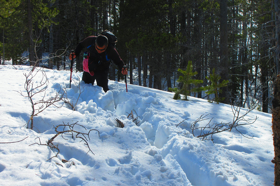 |
Sonny flounders a bit in some deep
snow while descending from the top of H1. Photo courtesy of Zosia Zgolak |
 |
Sonny takes the last few steps before
reaching the second
of Hastings Ridge's two highest points. Photo courtesy of Zosia Zgolak |
 |
Ali, So, Zosia, Marta and Asieh stand on the second (H2; 2026 metres) of the two highest points of Hastings Ridge. |
 |
Looking east from the top of H2, Hearts Peak (left) is barely discernible in front of Hillcrest Mountain. |
After retrieving my Honda CR-V, we took a gamble and drove to Nanton where we managed to sneak in an order for dinner at Tim Hortons just as the store was about to close. As an added bonus, the store employees gave us a whole whack of free donuts and other goodies since they were about to dump them into the garbage anyway. That was a great payoff for a long but very satisfying day of hiking with good friends.
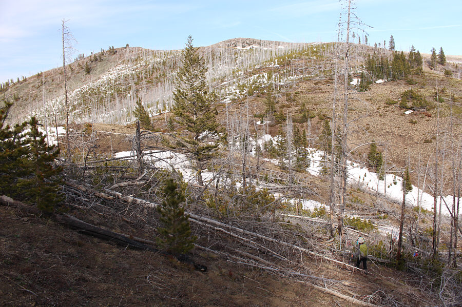 |
The group drops down a bit lower to the right to avoid most of the deadfall between H2 and Hearts Peak. |
 |
The group once again runs into some snowy and bushy terrain on the south ridge of Hearts Peak. |
 |
Sonny, Ali, So, Asieh, Zosia and Marta celebrate on the summit of Hearts Peak (2012 metres). |
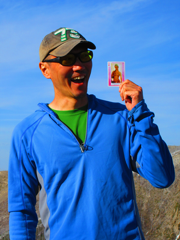 |
So really likes the Queen of Hearts from Sonny's special deck of playing
cards (The Ladies of Star Wars). Photo courtesy of Zosia Zgolak |
 |
Here is a closer look at Turtle Mountain from the summit of Hearts Peak. |
This is the view of H1 (left of centre) and H2 (right) from the summit of Hearts Peak.
 |
The group prepares to drop down the southeast aspect of Hearts Peak to pick up a road that will lead out of the valley and back to So's car along Adanac Road. |

The dead trees on Hillcrest Mountain look like toothpicks gleaming in the late day sun.
 |
Total
Distance: 15.7 kilometres Round-Trip Time: 10 hours Cumulative Elevation Gain: 893 metres |