BOU AVENUE
Ford Knoll Loop

Zosia Zgolak and I hiked Ford Knoll Loop near Little Elbow Recreation Area in Alberta's Kananaskis Country on 26 May 2019.  The route is described in Gillean Daffern's Kananaskis Country Trail Guide and starts at the recreation area's parking lot which is located at the end of Highway 66 just west of the junction with Powderface Trail.  We were originally planning to rendezvous with one of Zosia's former work colleagues for a hike up Prairie Mountain further to the east, but when she cancelled on us, Zosia and I switched our objective to Ford Knoll which neither of us had visited before.

From the parking lot, we crossed to the north side of the campground access road and soon passed a cattle gate before turning right at a signed junction.  As we headed eastward along an equestrian trail, we had to watch our step to avoid some great piles of dung.  In my mind, this was the crux of the trip!  About 800 metres east of the junction, a well-maintained hiking trail splits from the equestrian trail and heads northward up a forested slope.  Although there is not much to see on the way up, the grade is not too steep which makes for generally pleasant hiking.  Best of all, the hiking trail is mostly dung-free!  Just before the top is a 4-way junction, and we turned east here for a short ascent to the high point of Ford Knoll.  The high point is mostly covered with trees, but an open ledge a short distance to the north provides some limited views.

After a short break at the top, we took an alternate trail back to the 4-way junction where we turned west onto the return leg of our loop.  This side of the loop is a bit more scenic, and we enjoyed a trouble-free descent back to the first junction near the cattle gate.  We secured the gate behind us before walking the short distance back to the parking lot.
Good place to clean all the dung off your boots? 
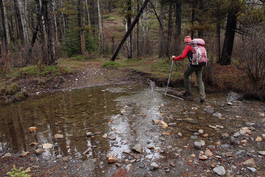
Zosia carefully rock-hops across a creek flowing over an equestrian trail early in the proceedings.
The cool temperatures this morning were perfect for hiking uphill. This steeper section of trail is just below the high point of Ford Knoll.
Meh. A small cairn marks the high point of Ford Knoll (1831 metres).
Not bad views for a forested knoll! An open ledge just to the north of Ford Knoll's high point grants this view of Forgetmenot Ridge.
Oh yeah! 
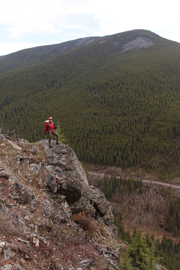
Zosia stands on the edge of a huge drop on the east side of Ford Knoll.  Behind her is Powder Face Ridge.
Zosia wanted to take it home and boil it! 
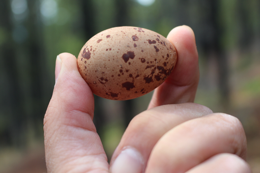
Sonny holds an egg that Zosia found, miraculously still intact, in the middle of the trail.  The egg was likely laid by a grouse of some sort.
I feel like re-visiting Nihahi Ridge soon... 
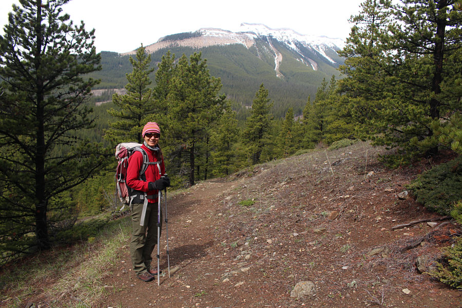
Some sections of trail are open enough to allow views of Nihahi Ridge to the west.
Definitely better to do the loop counter-clockwise! 
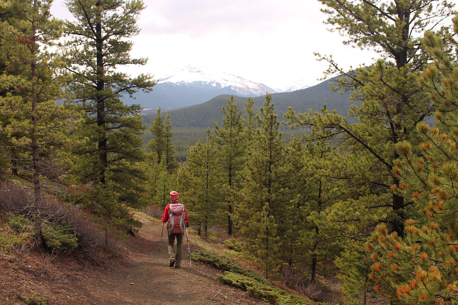
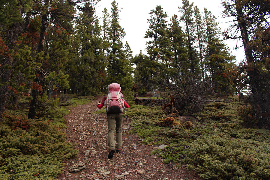
Zosia enjoys some pleasant hiking along the western half of Ford Knoll Loop.
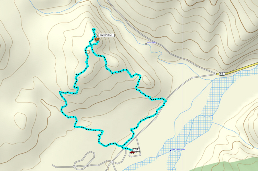
An excellent shoulder-season hike! Total Distance:  5.9 kilometres
Round-Trip Time:  2 hours 23 minutes
Net Elevation Gain:  224 metres

GPX Data