

Photo courtesy of Zosia Zgolak
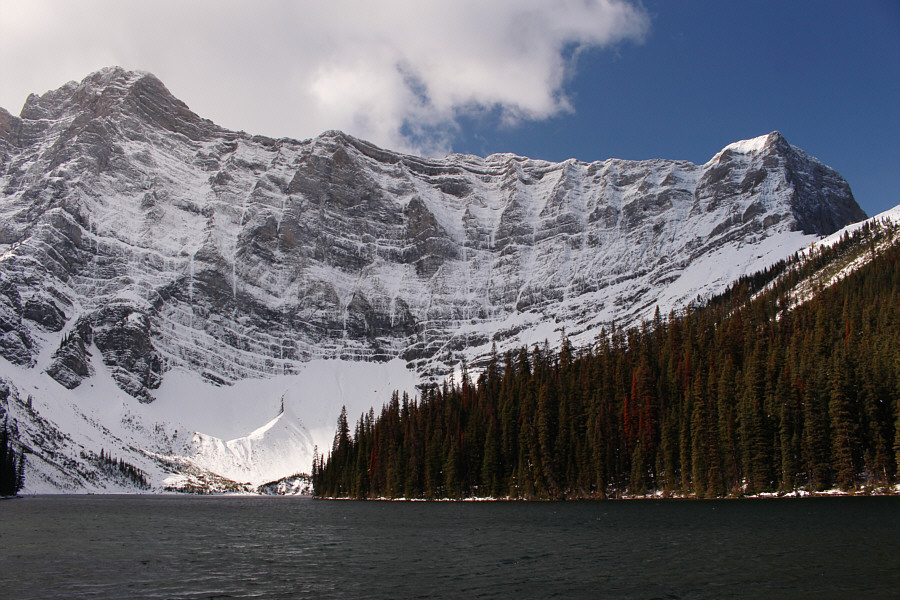
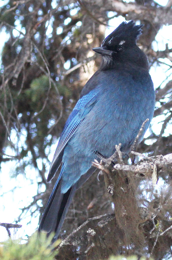
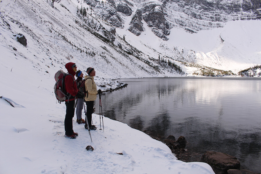


Photo courtesy of Zosia Zgolak
|
|
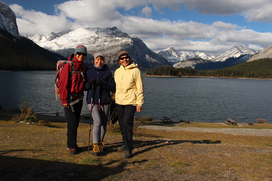
At the trailhead, Zosia, Teresa and Maria enjoy the views across Upper Kananaskis Lake. |
|
|
Maria watches as Zosia helps Teresa put on some ice cleats. |
|
|
This waterfall along Sarrail Creek is about one kilometre from the trailhead. |
|
|
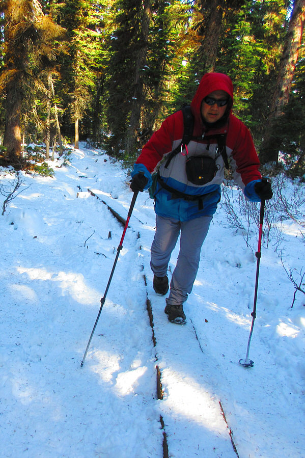
Sonny trudges along some snow-covered
planks just before reaching Rawson Lake. Photo courtesy of Zosia Zgolak |
|
|
Mount Sarrail dominates the background at Rawson Lake. |
|
|
A Steller's jay keeps an eye out for dropped crumbs of food. |
|
|
Zosia, Teresa and Maria look up at Rawson Ridge which is out of view to the right. |
|
|
The group carefully makes its way along the snow-covered east shore of Rawson Lake. |
|
|
Maria, Zosia and Teresa take a break in the sunshine near the west end of the lake. |
|
|
Teresa and Sonny do a tandem skating pose on a nearby frozen pond. Photo courtesy of Zosia Zgolak |
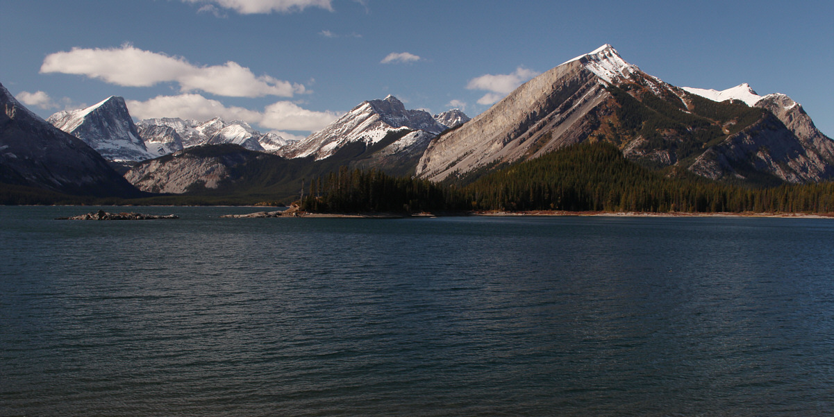
Here is another view across Upper Kananaskis Lake from near the trailhead. At right is Mount Indefatigable.
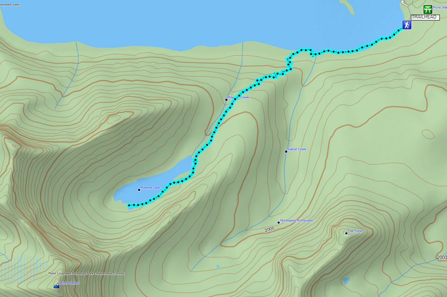 |
Total
Distance: 9.1 kilometres Round-Trip Time: 3 hours 48 minutes Net Elevation Gain: 279 metres |