BOU AVENUE
Seventy Buck Viewpoint

On 27 October 2019, Zosia Zgolak and I ventured out for a short hike to Seventy Buck Viewpoint in the Sibbald Flats area of Alberta's Kananaskis Country.  A loop route entailing the viewpoint is described in Gillean Daffern's Kananaskis Country Trail Guide, but due to logging and ranching interests in the area, the route may be subject to further changes in the future.

Seventy Buck trailhead is located on the north side of Highway 68 about 4.2 kilometres west of the junction with Powderface Trail or 9.9 kilometres east of the junction with Highway 40.

Zosia and I chose to do the loop in a counter-clockwise fashion, and we started by heading north into Seventy Buck valley along an obvious logging road.  Past the point where the road detours around a low ridge, we missed turning onto an obvious side road climbing to the left and continued along the main road until we reached a small creek crossing.  The main road descends into the valley here and continues up Eagle Hill, but we left the road to follow an intermittent trail alongside the creek.  We eventually stumbled onto the side road which we had missed earlier, and this led us easily to a vast cut block on the broad ridge northwest of Seventy Buck Viewpoint.  Instead of continuing west along the side road, we headed across the cut block to follow the ridge in a southeasterly direction.  Although the cut block was not that appealing to walk through, difficulties were few, and we were even treated to some views of familiar mountains to the west.  The highest point of the loop is somewhere in the forest along the edge of the cut block, but with nothing there to indicate as such, we passed through without any fanfare.

After dropping into an obvious dip along the ridge, we climbed up the next bump to reach the scenic viewpoint located above some surprisingly impressive cliffs.  While I would not classify the views here as being the million-dollar variety, they are still worth at least seventy bucks!  A wind break on the cliff top provided us some shelter from a chilly breeze, but we stopped there only briefly before carrying on down the ridge on a beaten path.  Although the path eventually disappears and the terrain becomes quite steep on parts of the southeast end of the ridge, the bushwhacking is generally light and route-finding is easy.  We descended without too much difficulty to Highway 68 and only had to walk a short distance back to my car to complete the loop.
Zosia is still eating at the trailhead! 
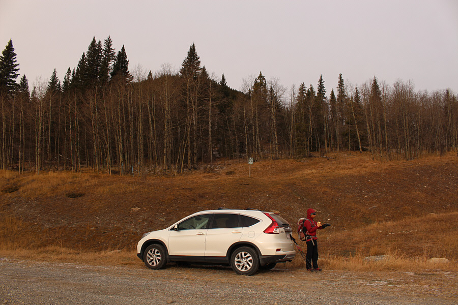
The road into Seventy Buck valley begins at the sign behind Sonny's car.
Still a little too thin for skiing! 
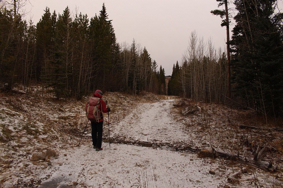
A light dusting of snow covers the road into Seventy Buck valley.
The road less traveled? 
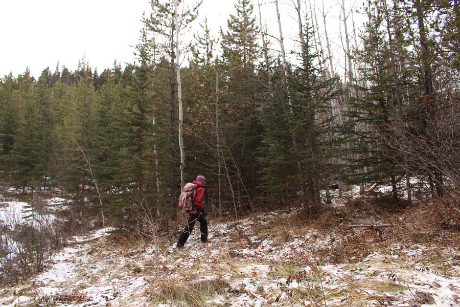
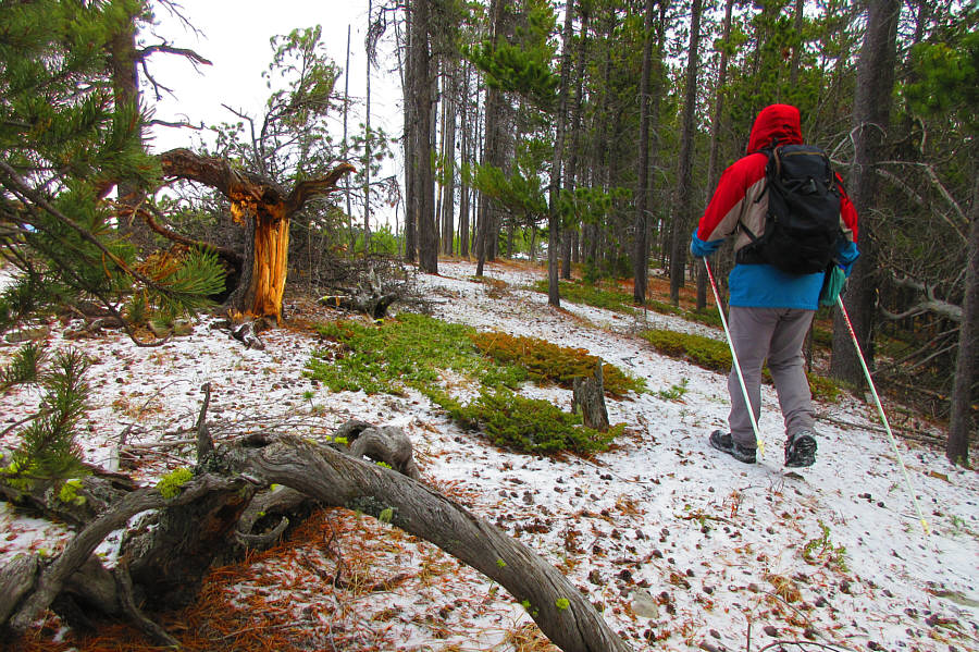
Just after a small creek crossing, Zosia leaves the main road and heads into the forest on a faint path.
A walk in the woods? 
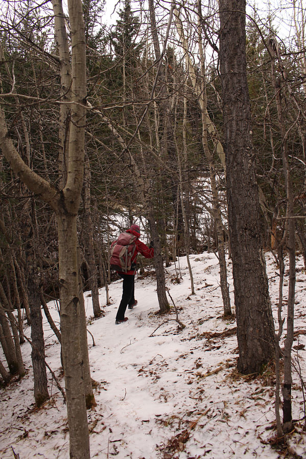
Although the path through the forest is faint, travel is easy.
Are those bear tracks in the snow? Zosia gains a snow-covered side road.
Another party was heading up Eagle Hill on this day. 
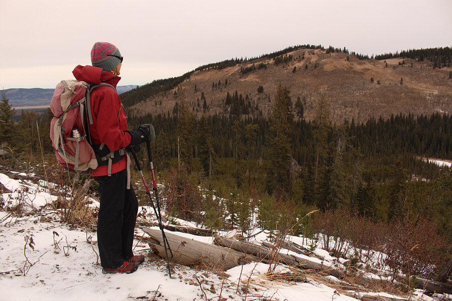
A break in the trees allows this view across Seventy Buck valley to Eagle Hill.
This might be a good place for ski touring if there is enough snow. 
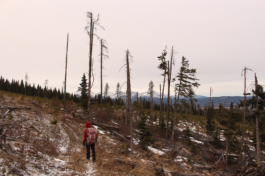
The side road leads to a large cut block.
Not the most pleasant hiking here! Zosia leaves the side road and heads southeast across the cut block.
I guess it's better than having no views! 
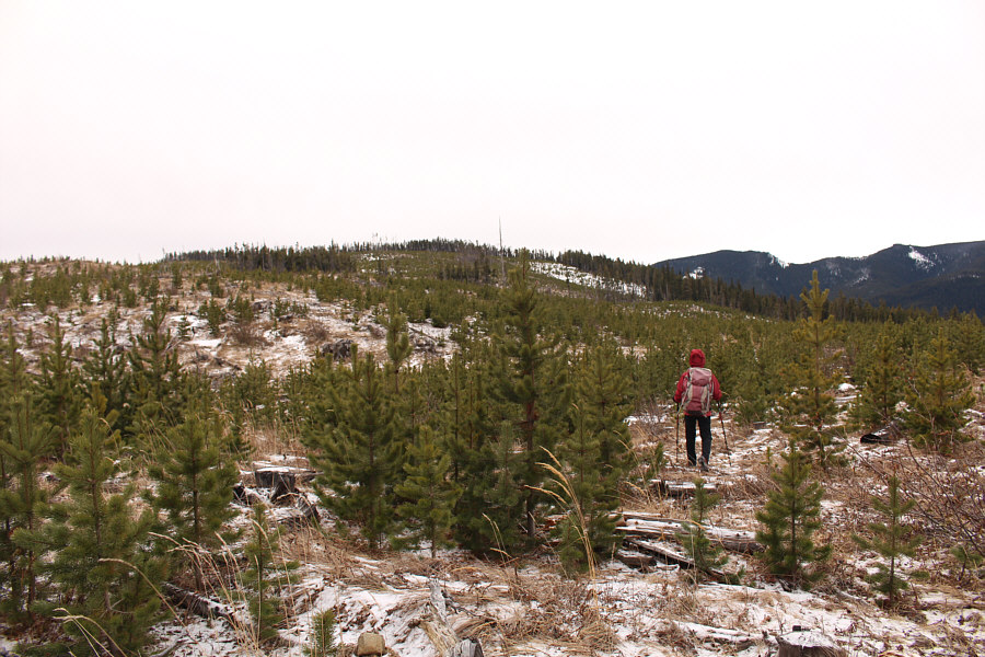
Sonny climbs over a downed log in the cut block.  Some familiar peaks are visible on the horizon.

Photo courtesy of Zosia Zgolak

Does it count as a summit if you didn't know you were on it? 
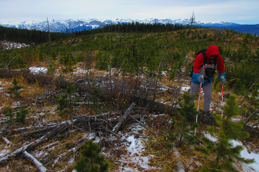
At the edge of the cut block, Sonny finds easier terrain to hike through.  The high point of the hike is somewhere around here.

Photo courtesy of Zosia Zgolak

Looks innocuous enough, but that snow was actually deep in places. Luckily, it was mostly supportive. Seventy Buck viewpoint is on the next bump beyond this dip in the ridge.
Watch your step around here! 
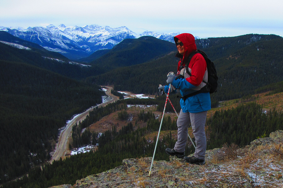
Sonny arrives at Seventy Buck viewpoint overlooking Highway 68.

Photo courtesy of Zosia Zgolak

Zosia spotted some climbing anchors here. 
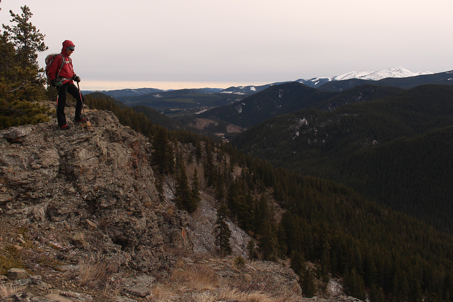
Zosia looks over the edge of the cliffs at Seventy Buck viewpoint.  Visible at far right is Moose Mountain.

Worth every buck!

Sonny and Zosia pose for a group shot on Seventy Buck viewpoint.


She looks cold! Zosia descends from Seventy Buck viewpoint.
Nice end to the loop hike! 
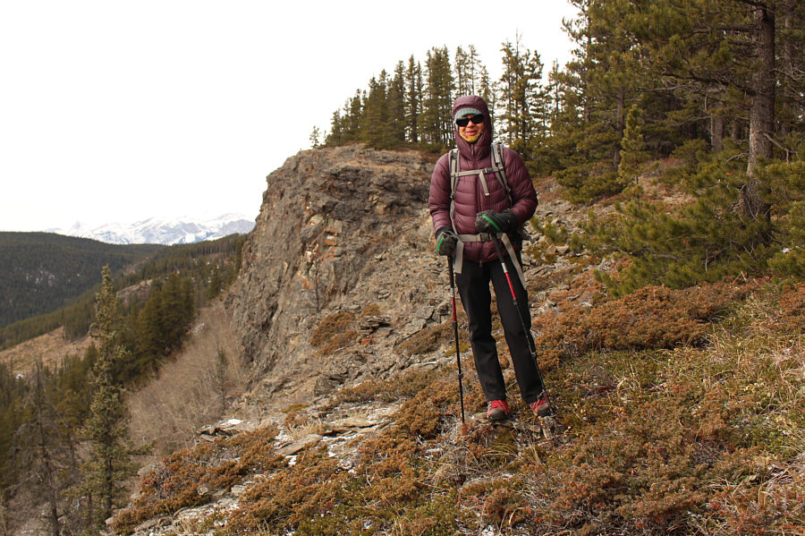
Sonny drops down the steep southeast end of the ridge.

Photo courtesy of Zosia Zgolak
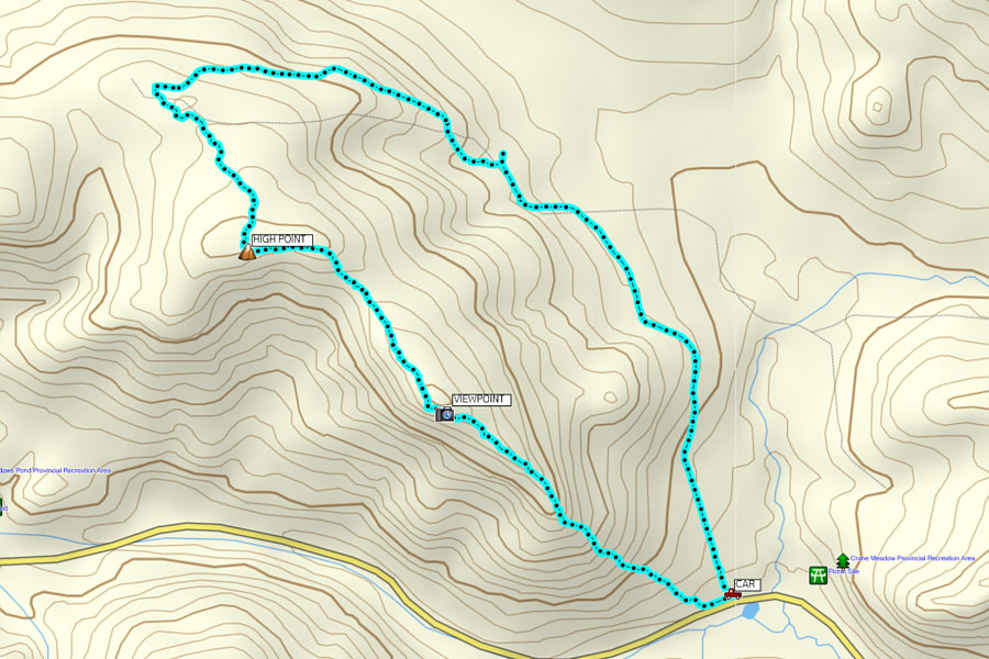
A nice one for some exercise when time is short. Total Distance:  6.3 kilometres
Round-Trip Time:  3 hours 8 minutes
Total Elevation Gain:  358 metres

GPX Data