BOU AVENUE
Tryst Lake
Looking for a short day trip due to an evening commitment in the city, Zosia Zgolak and I skied to Tryst Lake in Alberta's Spray Valley Provincial Park on 6 April 2019.  Rather than starting at the winter access for Commonwealth Creek along the Smith-Dorrien highway, we took a slightly longer approach via the summer (plowed) trailhead off Mount Shark Road.  Given recent warm weather, we were delighted to find a fresh dump of powder in the area, and we would be blessed with excellent snow conditions throughout the day.

We initially enjoyed easy skiing along the logging road leading to Commonwealth Creek, but much like my previous visit to Tryst Lake in 2004, Zosia and I completely missed the turnoff for the summer trail and ended up in a large cutblock.  Before we had a chance to turn around, four backcountry skiers emerged from the trees onto the road, and they all stopped to put climbing skins back on (apparently so they could get back to the Smith-Dorrien highway).  They had apparently aborted an attempt on the east ridge of Mount Smuts and ended up skiing some chutes above Tryst Lake before muddling their way down to the road.  The skiers mentioned that they had set off a small avalanche in one of the chutes, but luckily, nobody got hurt.  One of them also pointed us in the right direction for the winter access to Tryst Lake which is different than the summer trail.

Zosia and I continued a little further along the road toward Commonwealth Creek, and near the junction with the winter access trail, we left the road and followed remnants of ski tracks heading westward into the trees of the cutblock.  The old tracks led us to a reclaimed road which we followed for awhile before climbing partway up the east ridge of The Fist.  Where the east ridge flattens out a bit, we traversed a short distance before stopping to remove our skins and skiing down to the east end of Tryst Lake.  We crossed to the west end of the lake before turning around for the day.

For our return, we followed the other skiers' tracks down a bushy drainage east of the lake.  The snow here was a mixed bag with everything from pristine powder to old avalanche debris, and although much of the skiing was quite challenging, it was also kind of fun.  Near the bottom, we snaked our way through some very tight trees before popping out onto the road just like the previous skiers.  The ski back to my car from there was uneventful.
I got chased by a moose here once... Commonwealth Peak stands out in the distance as Sonny skis along the road to Commonwealth Creek.

Photo courtesy of Zosia Zgolak

It doesn't look promising at this point, but have faith. This is the best route for getting into Tryst Lake. 
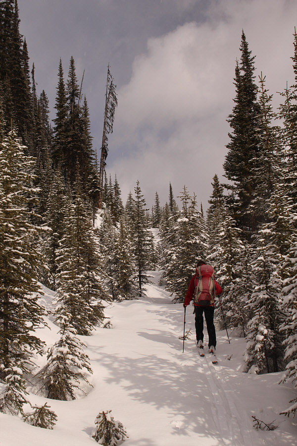
Zosia leaves the road and follows some old tracks into light forest.  At right is Tent Ridge.
Still on the right track! Zosia stumbles upon a reclaimed exploration road.
Zosia is a climbing machine! Zosia climbs steeply up a forested ridge near Tryst Lake.
Okay, we're not gonna find the lake up here! Sonny enjoys some easy travel on a flat part of the ridge crest.

Photo courtesy of Zosia Zgolak

Maybe the best skiing of the day right here. Zosia finds an easy corridor to ski down to Tryst Lake (barely visible through the trees at centre).
It's nicer than I remember! 
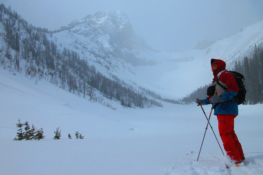
Sonny arrives at Tryst Lake (2143 metres).

Photo courtesy of Zosia Zgolak

The Fist was a wonderful little scramble if I recall.

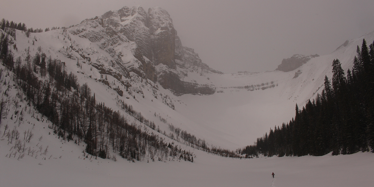
Zosia skis across Tryst Lake under the east face of The Fist.


It's snowing! 
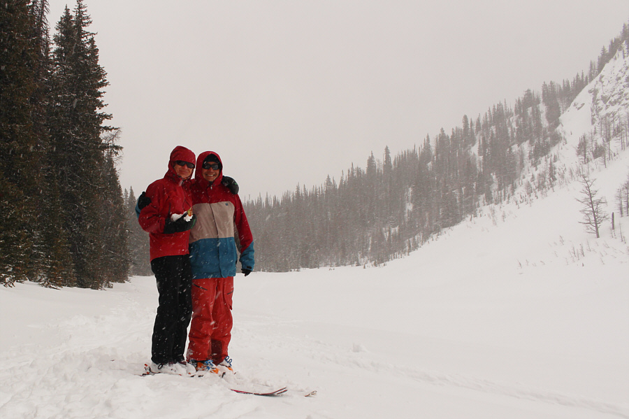
Zosia cradles her sandwich like a baby as she poses with Sonny near the west end of Tryst Lake.
If only we had more time on this day... 
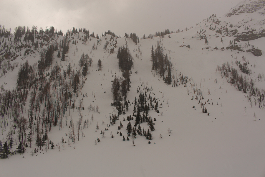
Here is a look at a few of the Tryst Chutes which are popular with backcountry skiers.
Too bad it wasn't like this all the way down... Zosia finds a nice patch of fresh powder while skiing down the drainage for Tryst Lake.
Zosia and I are starting to be experts at survival skiing!

Skiing the drainage is a bit of a mixed bag on this day with nice sections like this one and not-so-nice ones lower down.

One of the few places I could make a parallel turn! Sonny passes some old avalanche debris on the lower southeastern slopes of Tent Ridge.

Photo courtesy of Zosia Zgolak

Backcountry terrain park? 
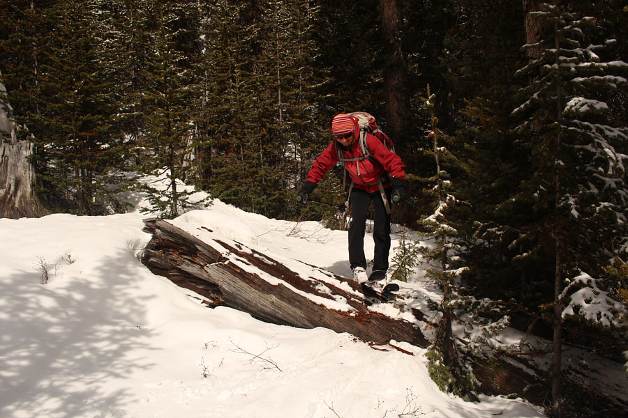
Zosia carefully steps over a big log not far from the approach road.
Okay, you can relax now! 
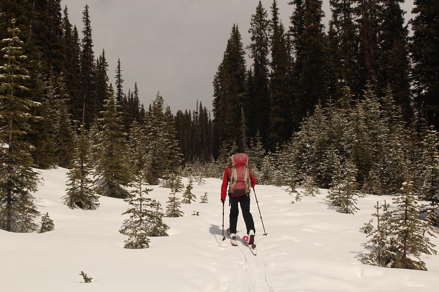
Zosia heads back to the trailhead along the approach road.
A much more interesting trip than expected. Total Distance:  9.1 kilometres
Round-Trip Time:  4 hours 1 minute
Net Elevation Gain:  275 metres

GPX Data