BOU AVENUE
Minewakun Lake

With a snowy weather forecast for 12 October 2020, Zosia Zgolak and I dialed our usual outdoor adventures back a bit with what was supposed to be an easy hike to obscure Minewakun Lake in the Lake Louise area of Alberta's Banff National Park.  I got the idea for this hike from Mike Potter's somewhat out-of-date guidebook, Hiking Lake Louise.  Minewakun Lake is tucked into a basin on the north side of Mount St. Piran and is approached via an official trail which runs from behind Chateau Lake Louise to Ross Lake in Yoho National Park.  According to Potter, an unofficial route leaves the main trail and climbs up to Minewakun Lake along its outlet creek, but admittedly, I was uncertain about the condition of the route or whether it even existed anymore.

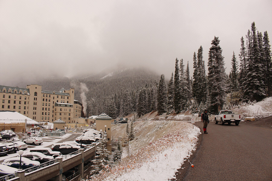
Finding the approach trail for this hike is a bit tricky.  From the west end of the Lake Louise parking lot, Zosia and I headed north and immediately crossed, in succession, a bridge over Louise Creek and Lake Louise Drive.  On the north side of Lake Louise Drive, we followed a narrow road which curves right going past a teepee and a horse corral (Brewster Stables).  This road quickly ends up in a parking lot for Colleague Services Centre, and we turned left here to walk briefly on St. Piran Road before turning left again to follow a service road running along the back side of Chateau Lake Louise.  Just past a service vehicle parking area, a good gravel road branches off to the right, and we walked along this road for another 170 metres to reach a junction with a rougher road going also right.  A short distance up the rougher road is the officially-signed trail junction for Ross Lake.

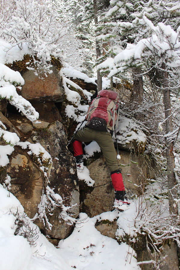
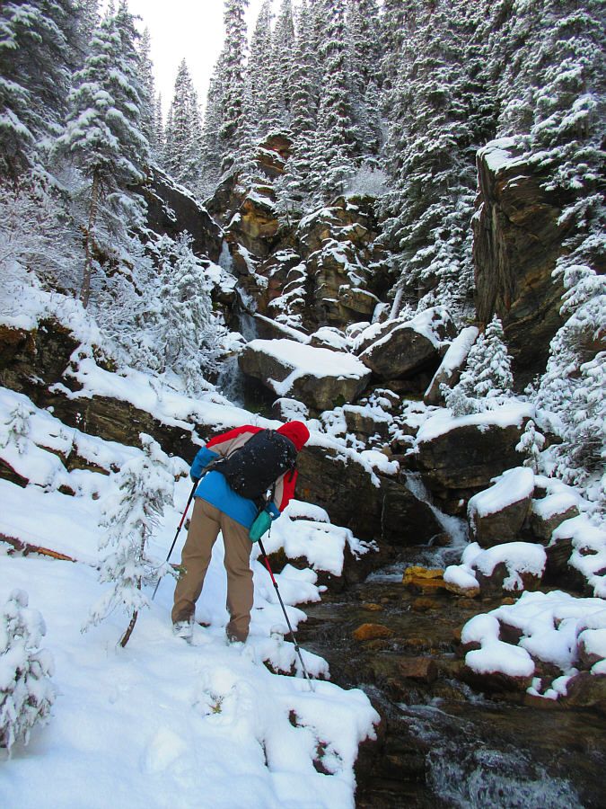
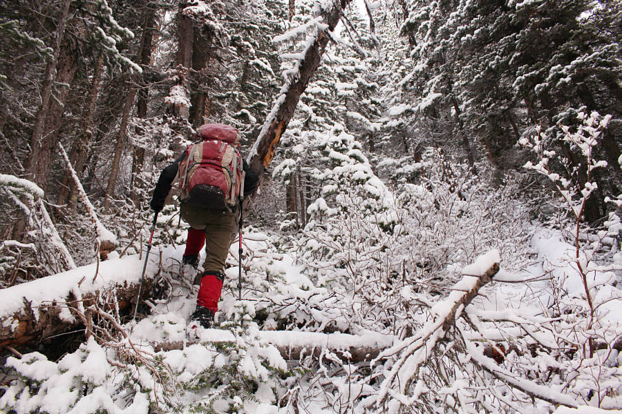
From the signed junction, Zosia and I hiked the wide and easy trail for 3.3 kilometres until we reached a gorge with a beautiful cascade in the middle.  Despite some fresh snowfall, the trail was still easy to hike, and we had no difficulties up to this point.  We left the trail here and climbed steeply up a beaten path to climber's left of the gorge.  As we gained elevation, the beaten path became increasingly harder to follow due to snow cover and deadfall, and we wound up ascending the middle of the gorge which is also where Minewakun Lake's outlet creek flows.  Splashing water from the creek rendered the rocks here dangerously slippery, and as the terrain became more complex, we were eventually forced to abandon the gorge and bushwhack up brutally steep slopes to climber's right.  The final thrash to the lake was fairly miserable but thankfully short-lived.  We ultimately popped out of the forest on the west side of the lake and subsequently circled around to rock-hop across the outlet creek at the north end.

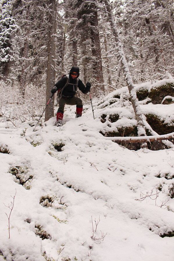
While it would have been nice to linger a little longer at Minewakun Lake, Zosia and I only managed to snap a few photographs before a snow squall descended on the area and chased us back into the shelter of the forest.  I briefly searched around for a beaten path leaving the lake, but the snow cover made it difficult to discover anything obvious.  Regardless, we had no desire to return the way we came up, and instead, we made our own way down the forested slope well away from the outlet creek and its gorge.  Although this entailed some more bushwhacking, it was far easier to do so going downhill, and our route-finding was perhaps a little more efficient here too.  Also helpful was the mossy ground which provided nice cushioning for the knee-jarring descent and good purchase for our boots on the very steep slope (almost too good for Zosia who was getting moss stuck under her cleats).  Upon regaining the main trail, we turned right and hiked back to Chateau Lake Louise without further issues.
The sign beside Zosia says "No walking on this side of the road"! Zosia walks along a service road on the back side of Fairmont Chateau Lake Louise.
The lack of signage around here kinda sucks! Zosia turns up a good gravel road branching away from the service road.
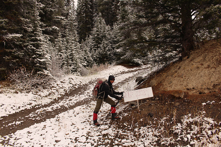
I guess we're still on the right track! A makeshift sign for Ross Lake points Zosia in the right direction.  The rougher road behind her is part of the Upper Telemark cross-country ski trail.
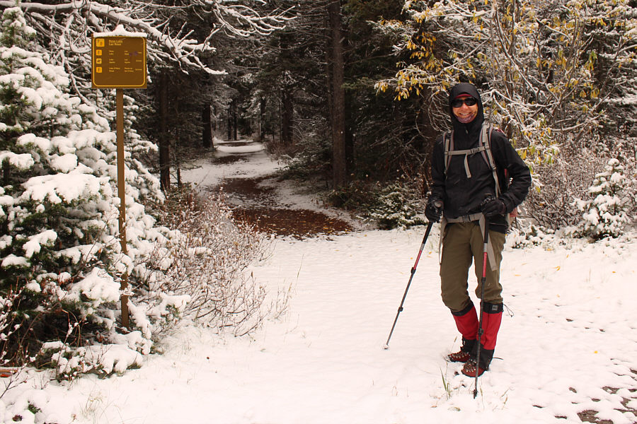
This is NOT the best way to visit Ross Lake! Zosia finally comes upon an official Parks Canada trail junction sign.  The trail behind her ultimately leads to Ross Lake in Yoho National Park.  She would use this trail for the approach to Minewakun Lake.
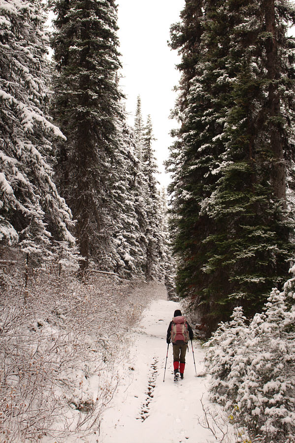
And quite boring too! The approach trail is fairly flat and mostly forested.
Possibly the prettiest cascade in the Lake Louise area that no one ever sees! The route to Minewakun Lake leaves the main trail just before this gorge.
The path looked promising at first... A beaten path climbs up the bank to climber's left of the gorge.
Good place for a cold shower! Further up the gorge is an impressive waterfall.
I don't think we'll be coming back down this way! Under fresh snow cover, the beaten path becomes increasingly difficult to follow higher up.  It is quite possible that Zosia is already off-route here.
The trip is already more arduous than expected! A short section of the Canadian Pacific Railway can be seen in the valley behind Zosia as she follows Minewakun Lake's outlet creek upstream.
Not directly, anyway! Sonny tries to figure out if it is possible to continue up the gorge.

Photo courtesy of Zosia Zgolak
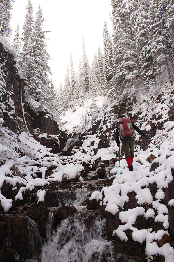
It feels like we're going up sh*t creek without a paddle... Zosia would soon abandon the gorge to climb the steep slopes to the right.
So much for Potter's f**king route!! The fresh snow adds another layer of misery to the steep uphill bushwhack.
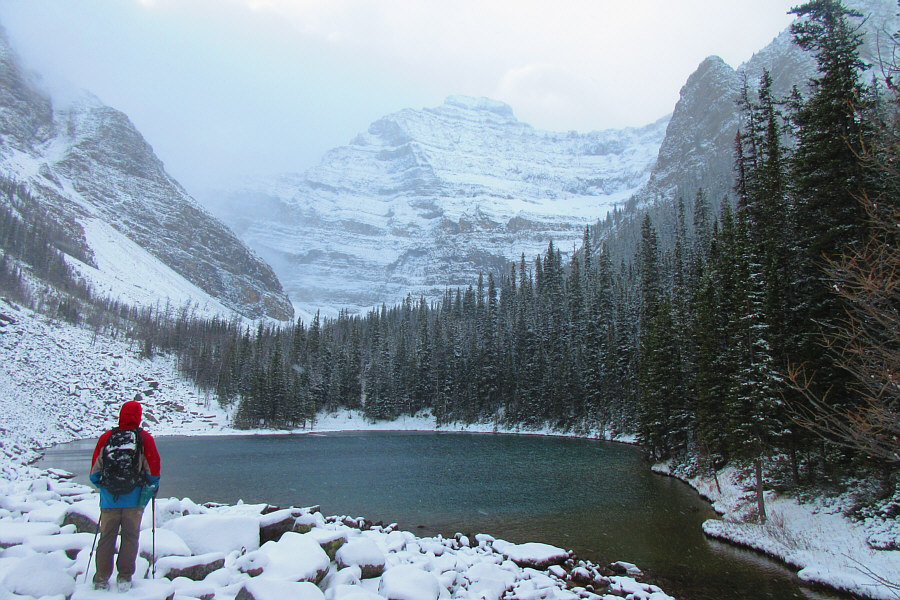
Was it worth it? Hmmm... Sonny arrives at Minewakun Lake (2014 metres) with Mount Niblock in the background.

Photo courtesy of Zosia Zgolak
We didn't even have time to enjoy lunch beside the lake!

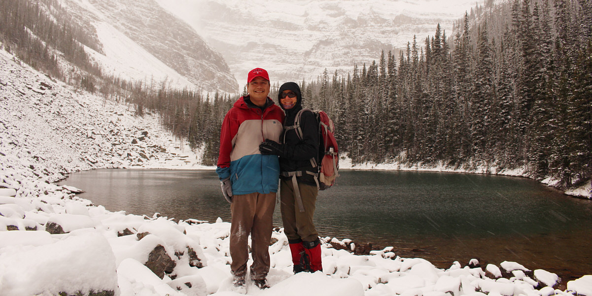
Sonny and Zosia pose for a photograph in front of Minewakun Lake only minutes before the arrival of a snow squall which effectively chased them back into the forest.


It's much easier to bushwhack downhill than uphill! Zosia carefully descends steep terrain to get back to the main trail.
This one started chirping once we disturbed her. A female spruce grouse sits still on the main trail.

Photo courtesy of Zosia Zgolak
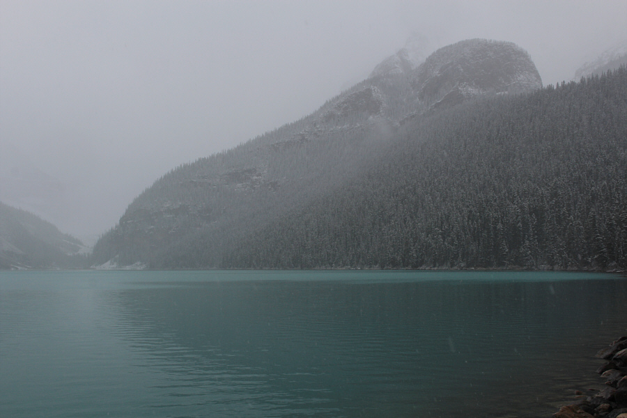
Most overrated lake ever? Lake Louise looks gloomy on this day.
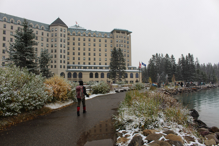
At least it's not too crowded on this gloomy day! Zosia hikes past the front of Fairmont Chateau Lake Louise to conclude the trip.
Might be worth a return next year during larch season... Total Distance:  10.4 kilometres
Round-Trip Time:  4 hours 52 minutes
Net Elevation Gain:  256 metres

GPX Data