Alison Sekera, Zosia Zgolak and I headed out
to the Icefields Parkway in Alberta's Banff National Park on 15 March
2020 to ski up the west summit of Observation Sub Peak. This ski
tour is described in Marcus Baranow's guidebook, Confessions Of A Ski
Bum--The Icefields Parkway--Lake Louise To Bow Summit. Zosia
and I had skied up the
east
summit the year before, and although Alison had already previously
ascended the slightly higher west summit, she was game for another run to
try out a new pair of skis. As per the guidebook directions, we
parked on the side of Highway 93 about 36 kilometres north of the traffic
control gate just beyond the turnoff from Trans-Canada Highway.
According to my car's thermometer, the temperature was a chilly -29°C as
we geared up on the side of the highway, but we quickly warmed up as we
followed old ski tracks up the drainage to the east. One short but
particularly awkward step in the drainage gave us a fair bit of trouble.
Somehow, Zosia managed to skin up on her own, but both Alison and I
needed some help to get up this step. Otherwise, the rest of the
climb up the drainage went without a hitch, and we were soon making our
way into the upper valley. Where the trees begin to thin out, we
started climbing northward up increasingly wind-blown slopes. Soon
after breaking out of the trees, Zosia and I donned our ski crampons, but
Alison, who had neglected to bring hers, had to boot-pack the first steep
slope we encountered. At this point, we were momentarily passed by
another party of three skiers, and there was another large group not far
behind us. Beyond the first steep slope, Alison was able to strap
her skis on again, and further up the ridge, we passed the other party of
three who had sat down for a lengthy break in the warm sunshine.
Oddly enough, we did not see the large group that was behind us for the
rest of the day.
 |
Observation Sub Peak sits in the
background as Alison and Zosia gear up on the side of the highway. |
 |
Alison watches Zosia climbing up a short but difficult step in a
drainage. |
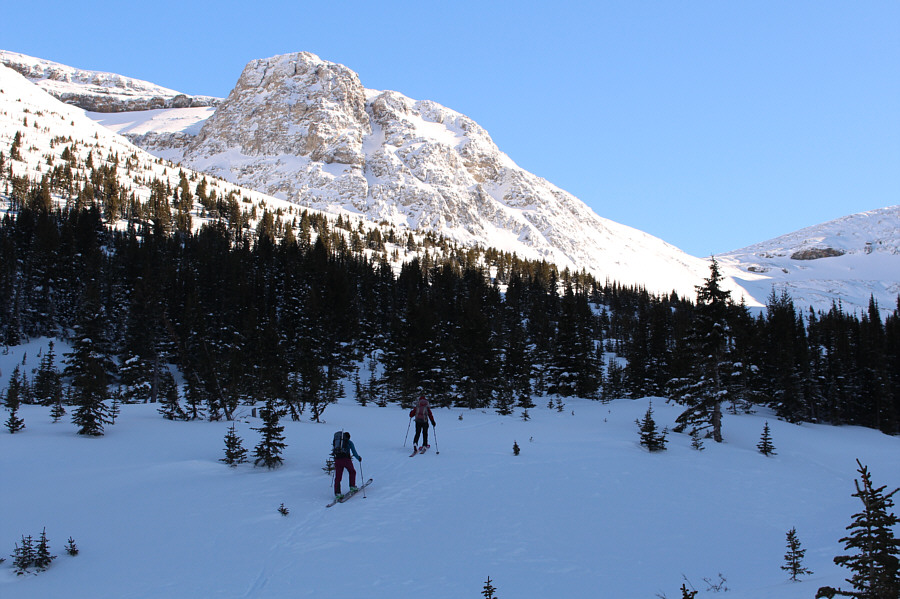 |
The terrain begins to open up as Alison and Zosia enter the upper valley.
They would eventually climb up the slope to the left. |
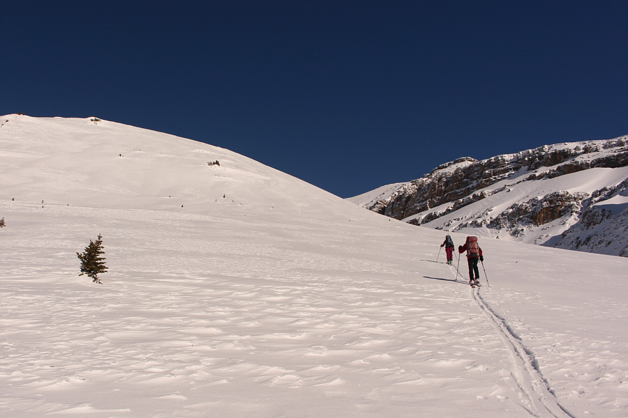 |
Alison and Zosia approach the first significantly steep slope of the
ascent. |
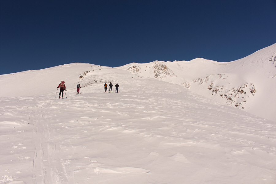 |
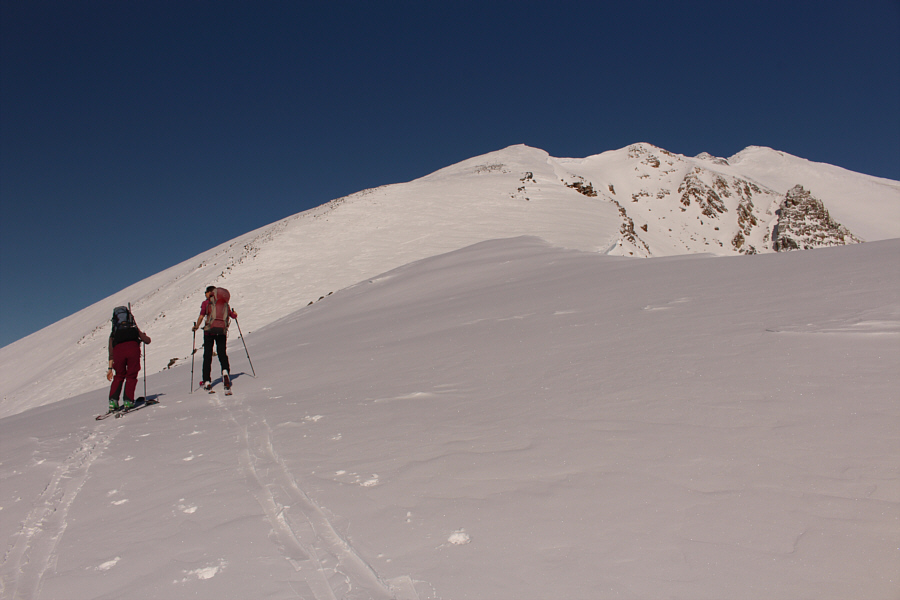
Zosia and Alison climb up the ridge alongside another party of three
skiers. Observation Sub Peak's west summit is visible in the
distance at right. |
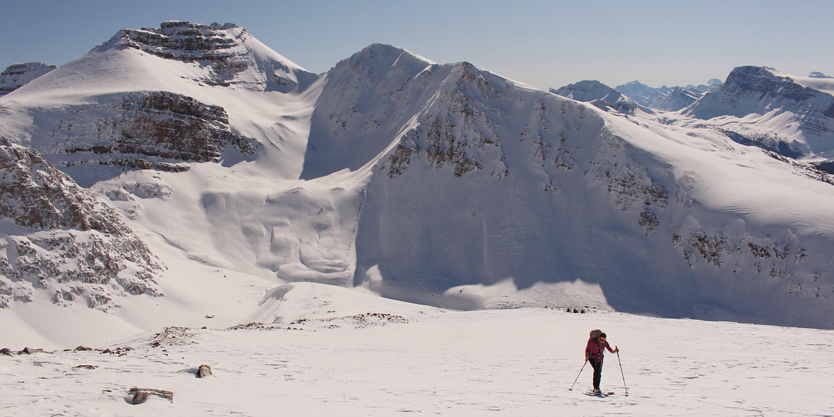
The northwest aspect of
Cirque Peak
provides a spectacular backdrop behind Zosia.
As we approached a second steep slope along the ridge,
Alison decided to stop here and wait for Zosia and me. She saw no
reason to struggle up the remainder of the ridge without ski crampons
especially since she had already previously tagged the summit. The
party of three once again caught up to Zosia and me as we climbed up the
second steep slope, but for some reason, they seemed reluctant to
overtake us. The ridge begins to narrow above the second steep
slope, and Zosia did not feel comfortable continuing without an ice axe.
The other party of three also turned around at this point, and had the
weather been less than ideal, I would have too. However, I was
still feeling good and had yet to reach my comfort limit, and I reassured
Zosia that I would turn around if conditions on the ridge became too
dicey.
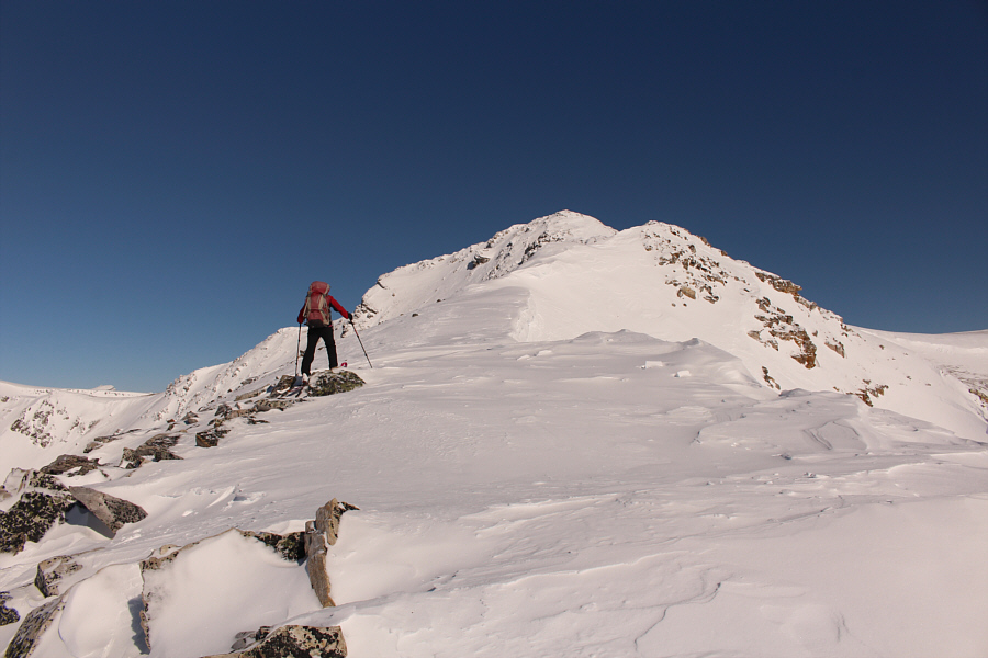
Not long after leaving Zosia behind, I reached a notch beyond which the
ridge was too steep and rocky to ski. I ditched my skis here and
proceeded to boot-pack the rest of the way to the summit. One particular
corniced section of ridge required some care to traverse, and I had to
kick steps for about ten metres or so across a steep and crusty snow
slope. In retrospect, the exposure here was probably not too bad, but I still felt
a little naked without an ice axe. Fortunately, I made it through without
a slip, and the rest of the climb to the top was straightforward.

Besides Peyto Lake, the most prominent features to the
west include Mount Baker (far left), Mistaya Mountain (centre), and Mount
Patterson (far right).
 |
Observation Peak
dominates the view to the northwest. |
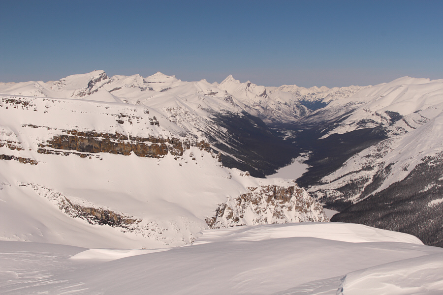 |
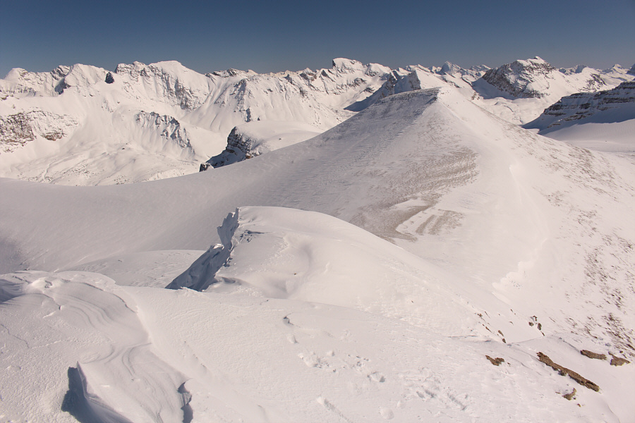
Part of Isabella Lake can be seen in
Dolomite Creek valley to the north. The three most
distinguished peaks on the left horizon are (L to R) Quill Peak,
Mount Loudon, and Siffleur Mountain. |
 |
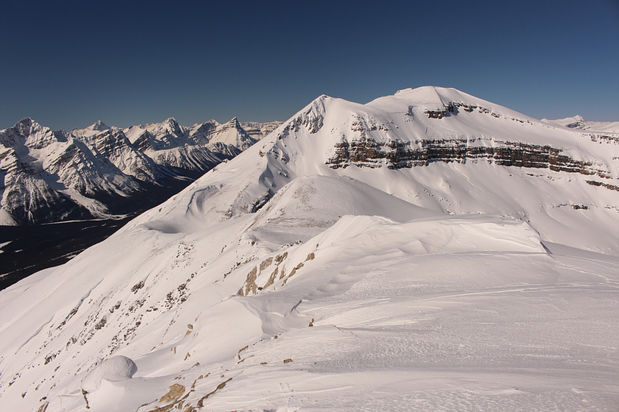
The connecting ridge to Observation
Sub Peak's
east
summit appears to be quite wind-blown. |
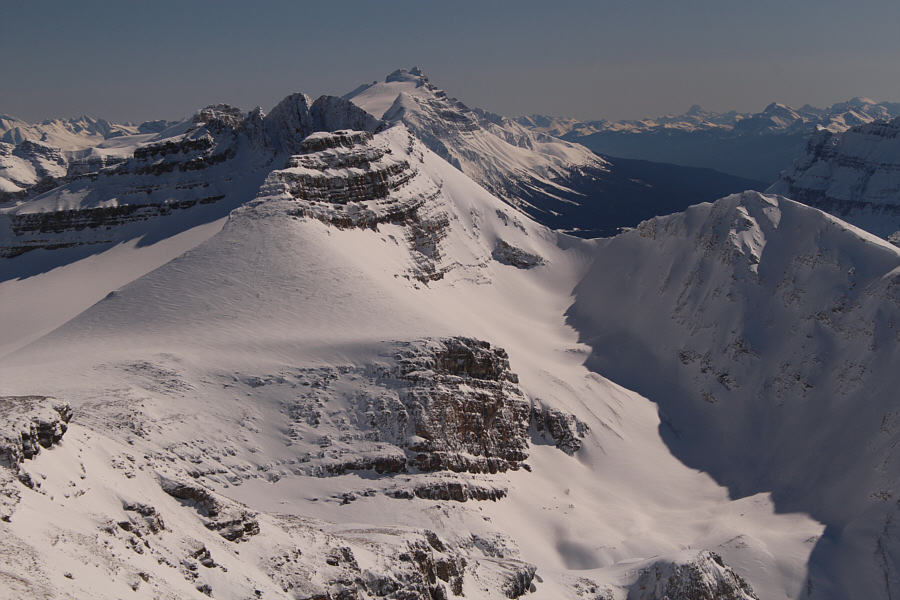 |
Mount Hector stands tall behind Cirque
Peak to the southeast. Mount Assiniboine is visible about 110
kilometres away on the right horizon. |
Unlike the uncomfortably cold and windy conditions I encountered on the
east summit the previous year, the west summit was balmy and calm on this
day. It is a shame that I could not linger there, but I did not want to
keep Alison and Zosia waiting for me any longer than necessary. I
snapped a few requisite summit photographs before promptly retreating
back down the ridge. The aforementioned exposed traverse was actually
more unnerving the second time around, but again, I made it across
without a slip. Upon retrieving my skis, I kept both my skins and ski
crampons on in order to safely negotiate some of the narrower sections of
the ridge, and I only removed them once I reached the top of the second
steep slope.
The snow on the upper mountain was a nightmarish mix of hard,
unsupportive crusts interspersed with thin pockets of powder. As such, it
was exhausting to try and maintain my balance while skiing on the highly
variable snow surface. I stopped numerous times to catch my breath and
even had a few spills before I finally caught up with Alison and Zosia
lower down the ridge. The ski conditions improved somewhat as we got
closer to the trees in the upper valley. While there were some brief
moments where my skis appeared to glide smoothly, I just could never get comfortable
enough with the snow to feel relaxed. Ironically, the best skiing of the
day was below tree line since the snow here was more consistent and not
affected by wind or sun. Avoiding the drainage we had ascended earlier in
the day, we descended the forested slope further to the south, and
although weaving back and forth between the trees was challenging, it was
also a lot of fun. We eventually regained our up-track near the bottom
and easily cruised back to my car to conclude the trip.
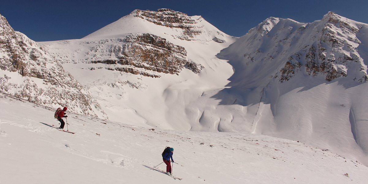
Zosia and Alison ski back down more of less the way
they came up.
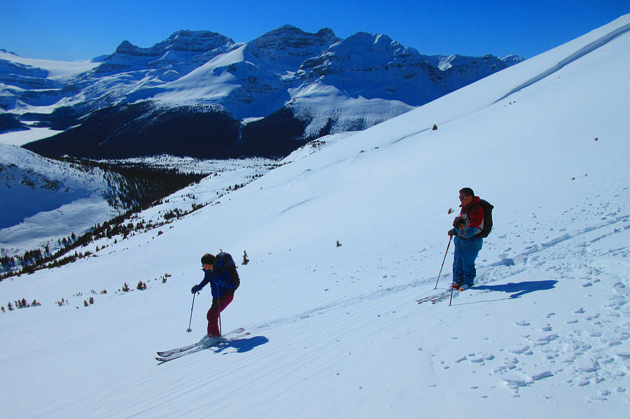 |
Sonny pauses to catch his breath while Alison breezes by him. Note
the crusty snow left in the wake of Alison's ski tracks.
Photo courtesy of Zosia Zgolak |
 |
Zosia cruises back out the upper valley. |
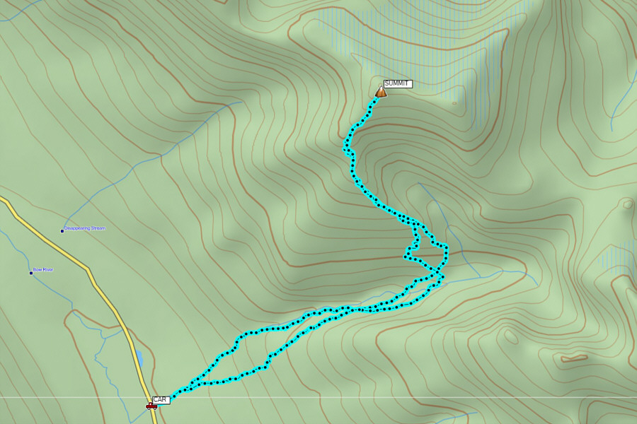 |
Total
Distance: 10.5 kilometres
Round-Trip Time: 6 hours 49 minutes
Elevation Gain: 957 metres
GPX Data |


