BOU AVENUE
Trail Hill
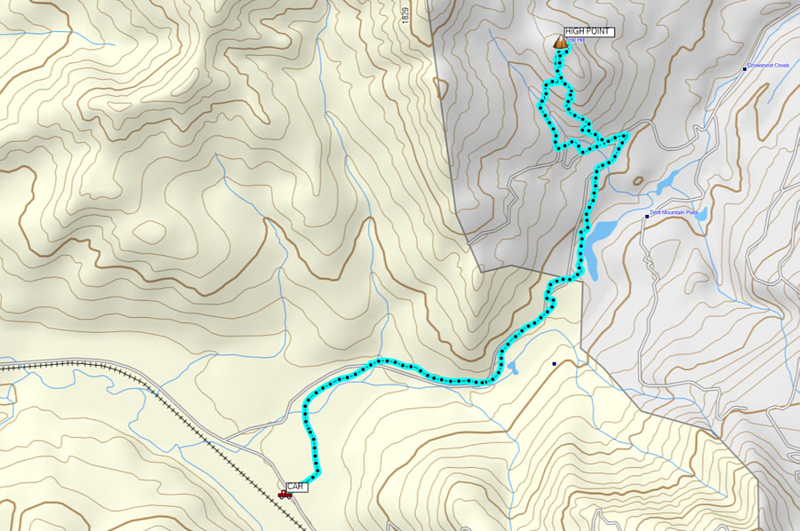
On 29 February 2020, Zosia Zgolak and I
skied up Trail Hill which is located on the Alberta (AB) side of the
provincial boundary in the headwaters of Crowsnest Creek. Even
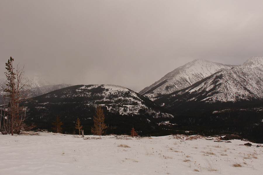
though it is essentially an outlier of the much larger
Loop Ridge,
Trail Hill is, for some odd reason, an officially-named summit, and as
such, it piqued my curiosity especially since there is virtually nothing
written about it online except for an obscure and hard-to-access
report from the late great Rick Collier. Most topographic maps show
a trail running up the forested north side of Trail Hill, but from
studying Google Earth, I was intrigued to see semi-open slopes on the
south side which might be suitable for skiing. Knowing that Corbin
Road on the British Columbia (BC) side of the provincial boundary is
plowed in winter, I thus conceived an approach from the west utilizing
a logging road which runs over Tent Mountain Pass and past the south end
of Trail Hill.
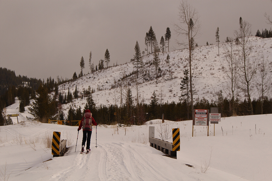
Turn south onto Corbin Road from Highway 3 about 12 kilometres east of
Sparwood, BC or 23 kilometres west of Coleman, AB. Drive south for
16 kilometres to a junction with a side road (bridge, warning signs, and
a locked gate here) heading east toward Tent Mountain Pass. Park on
the shoulder of Corbin Road.
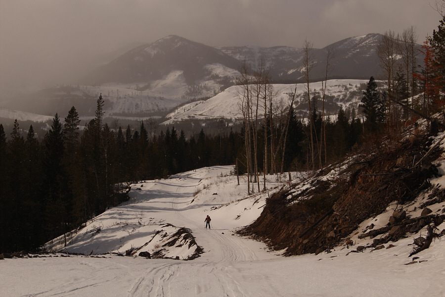
From Corbin Road, Zosia and I started skiing eastward along the side road
for about 250 metres before turning left (north) at a junction.
About one kilometre further, we kept right at a second junction.
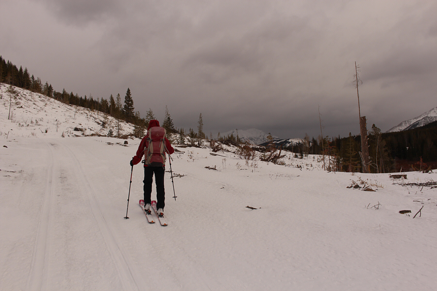
The myriad of logging roads and snowmobile tracks in the area can be
confusing, and I was thankful to have a published track for the road in
my phone to help guide us over Tent Mountain Pass. The road is
perhaps a bit too mundane for AT ski gear, but we easily muddled along
for another three kilometres until we reached a third road junction
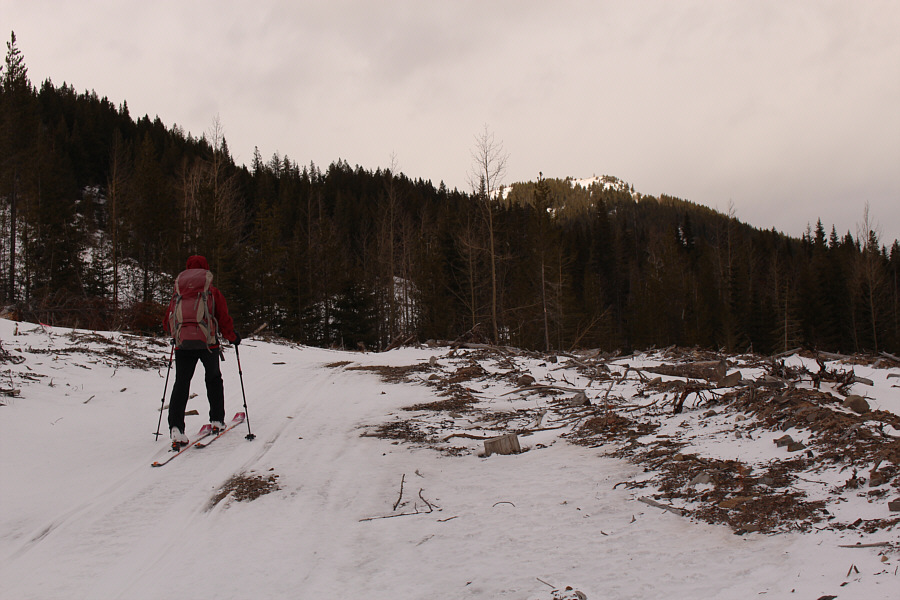
marked with a "Public Land Use Zone Boundary" sign. Turning left
(west) here, we followed the road for about 300 metres before leaving it
to turn north up what looked like semi-open slopes. Much to our
chagrin, we picked up the same road again only 15 metres higher and
realized that we had basically taken a short cut on a switchback!
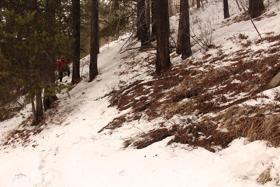
About 100 metres further up from where we
regained the road, Zosia
and I climbed up a steeper right-hand fork and eventually wound up in a
cut block to the west of a drainage separating Trail Hill from the
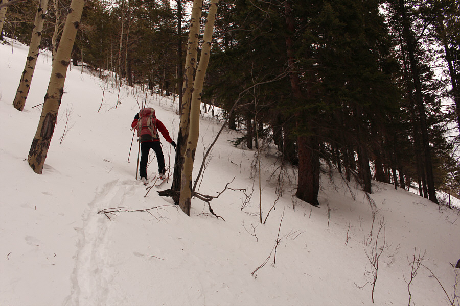
southern end of Loop Ridge. Of course, we were on the wrong side of
the drainage, and although it appeared that we could still connect to
Trail Hill further north, I got impatient and wanted to make a beeline
for the top. We descended slightly to cross the bushy drainage and
then zigzagged up a steep but relatively straightforward slope.
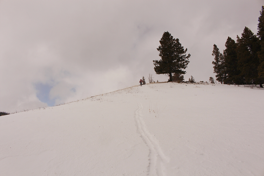
Snow coverage was a little thin near the top, but we still managed to ski
all the way to the high point of Trail Hill. We snapped a few
photographs here before dropping down to the shelter of some trees for a
quick lunch break.
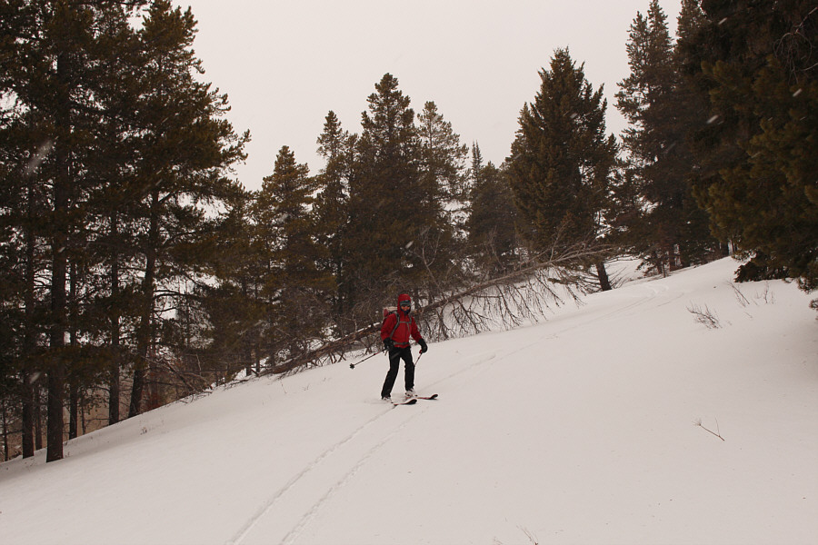
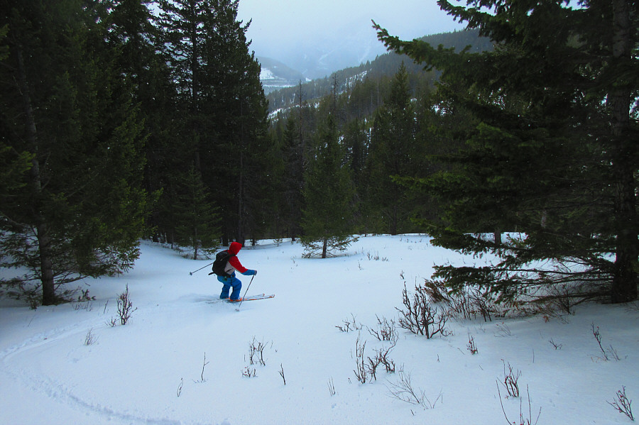
For our descent, Zosia and I skied down the
semi-open south slopes of Trail Hill. Unfortunately, snow
conditions were inconsistent here with a mix of fresh powder overlying
crusty or icy sections. As a result, it was difficult to get into
any sort of rhythm to make good turns, and we resorted to mostly
"survival skiing" to get down the hill. In retrospect, there are
likely better ski descent routes than the one we took, but admittedly, I
am not particularly eager to return anytime soon for further exploration.
Upon re-gaining our track along the road, we switched to touring mode
(unlocked heels) and skied back the way we came. Other than
herringboning some short uphill sections and fighting against a brisk
headwind, we had few difficulties on our return to Corbin Road.
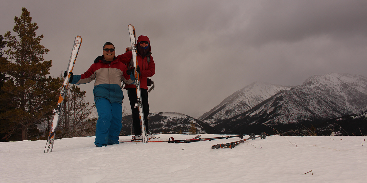
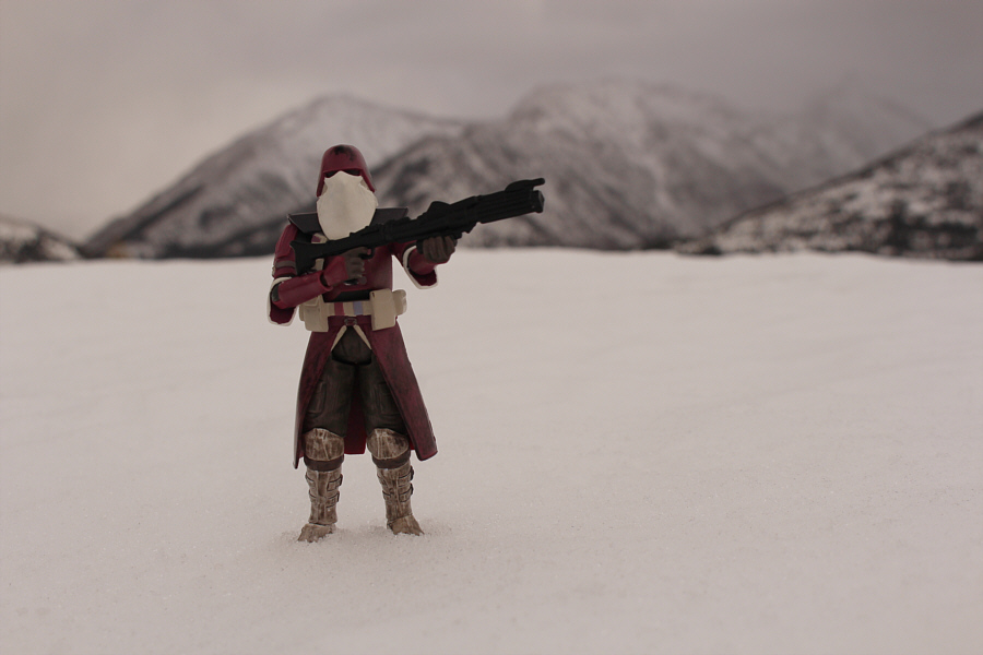
Sonny and Zosia stand on the high point of Trail
Hill (1774 metres).