BOU AVENUE
Arnica Ridge
Braving the weekend crowds in Alberta's Banff National Park, Shaun Luong, Zosia Zgolak and I hiked up unofficially-named Arnica Ridge on 2 October 2021.  This logical extension for the hike to Arnica Lake is documented in Mike Potter's guidebook Backcountry Banff, and a trip report by the Rocky Mountain Ramblers also exists.  However, we got most of our inspiration from a recently published report by Bob Spirko.  The hike starts from the Vista Lake trailhead located on the south side of Highway 93, 8.2 kilometres west of Castle Junction or 1.8 kilometres east of the Continental Divide.

The trailhead parking area was overflowing with cars when Shaun, Zosia and I arrived late in the morning, and we had to park over three hundred metres to the east on the precariously narrow shoulder of the highway.  Getting out the driver's side of my car safely with highway vehicles zipping by at over a hundred kilometres per hour was arguably the crux of the trip.  Once we geared up, we walked back to the trailhead and embarrassingly started descending the wrong trail.  Fortunately, we realized our mistake almost immediately--the wrong trail is insanely steep--and quickly backed up to descend the correct trail which takes a much gentler line down to Vista Lake.  After passing Vista Lake, we crossed Altrude Creek on a boardwalk and began a long but uncomplicated climb up to Arnica Lake.  Despite overcast skies, the trail was very busy on this day, but everyone was courteous and polite which made the overall experience more pleasant than expected.

There were lots of people at Arnica Lake when Shaun, Zosia and I arrived, and we only paused here briefly before carrying on up the trail.  From Arnica Lake, the trail climbs up a boggy slope and flattens on the crest of a low ridge--this is Arnica Ridge--before dropping down to Twin Lakes.  Instead of continuing to Twin Lakes, we left the main trail and followed a beaten path going up the crest of Arnica Ridge.  With all the larches on Arnica Ridge, it is a little surprising that so few people bother to climb up here.  Going past the nebulous high point, we continued as far as where the ridge abuts the steep cliffs below the northeast outlier of Storm Mountain.  The views from here were exceptional, but because of a chilly wind, we opted to head back into the shelter of the larches before stopping for a break.

After eating lunch, Shaun, Zosia and I retraced our steps back down to Arnica Lake which, by this time, was deserted.  On the long descent back to Vista Lake, we again encountered more hikers on the trail, but we had no issues passing slower parties.  The 130-metre ascent from Vista Lake back to the trailhead is certainly annoying, but with the benefit of a well-graded trail, it is hardly a daunting climb.  Upon returning to the trailhead, we walked back to where we parked along the highway to conclude our hike.
Welcome to Banff National Amusement Park!

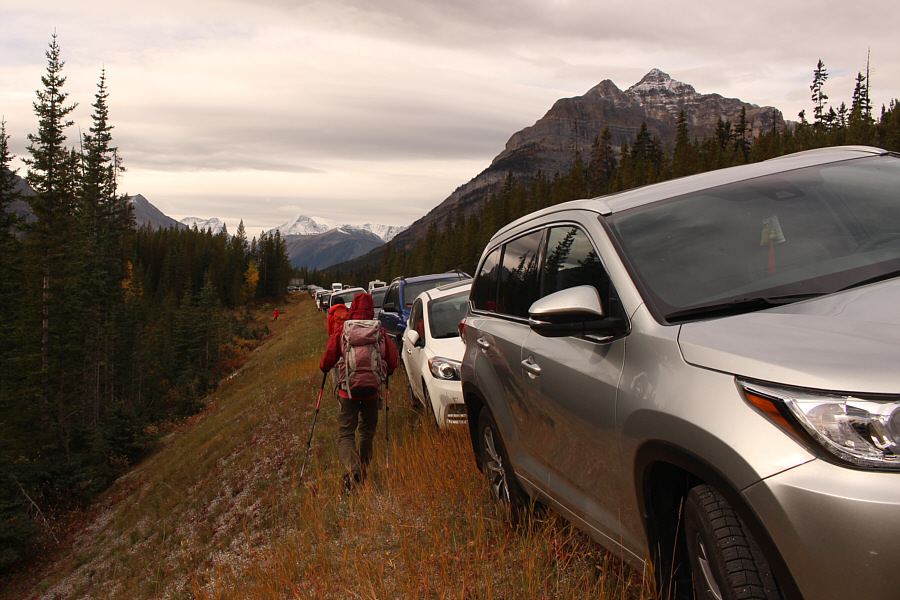
Shaun and Zosia walk past a long line of cars parked on the side of the highway.  The Arnica Lake trailhead is about three hundred metres away.

It's gonna suck climbing back up this way at the end of the day! From the highway, the trail initially descends about 130 metres to Vista Lake.
Surprisingly not too many people here. Zosia and Shaun reach the shore of Vista Lake.  Behind them is Mount Whymper.
Get ready for a long uphill climb... 
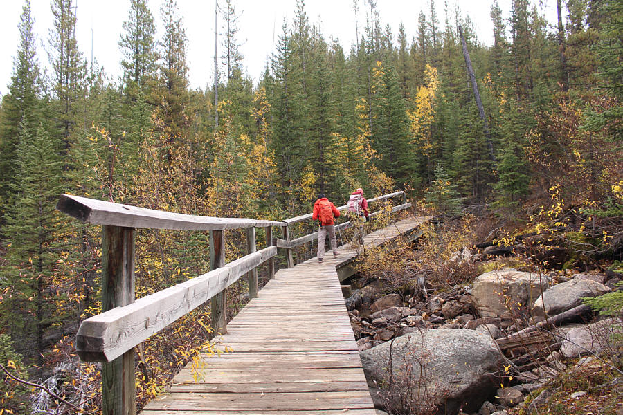
Shaun and Zosia cross a boardwalk over Altrude Creek.
A good time to socialize or meditate... 
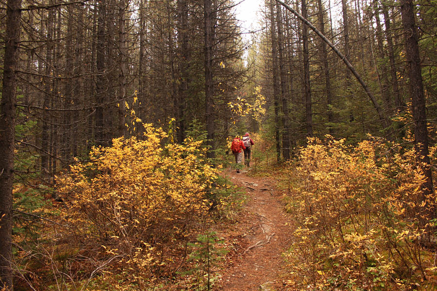
Most of the 575-metre ascent to Arnica Lake is in forest.
Hey, I think I can see my car! 
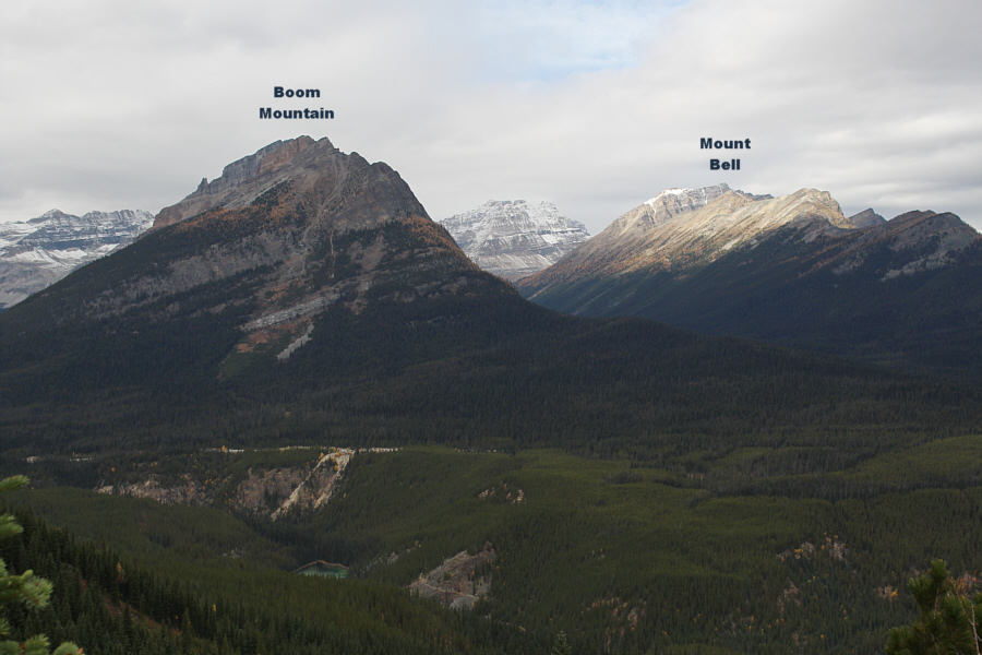
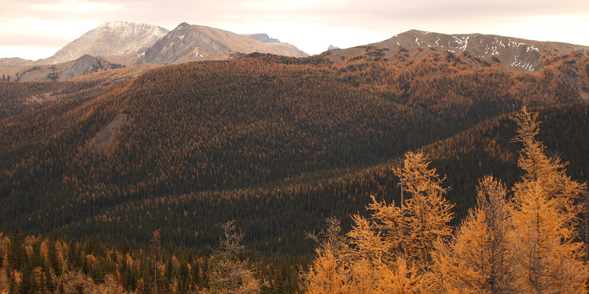
A small clearing higher up the trail grants this view to the northwest.
Storm Mountain North Ridge intrigues me... 
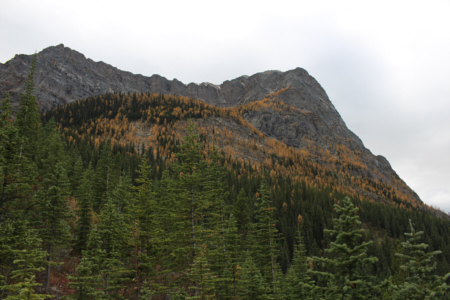
Larches adorn the northeastern face of Mount Storm's north ridge.
Nice day for windsurfing! 
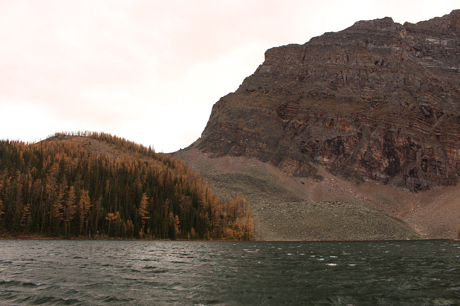
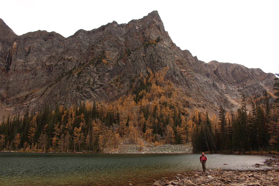
Whitecaps attest to the windiness at Arnica Lake on this day.  At left is Arnica Ridge.
Very boggy and icy here--waterproof boots and maybe ice cleats needed! 
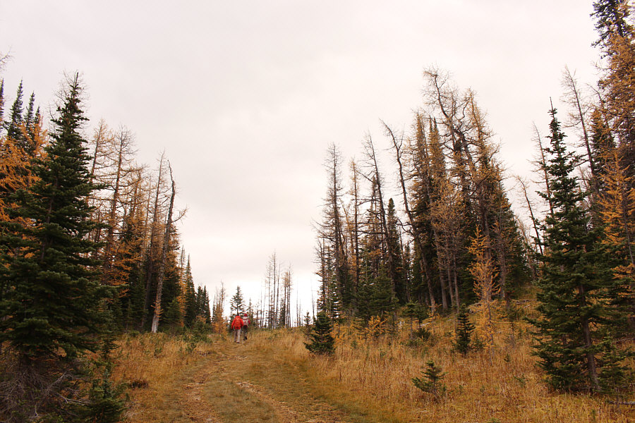
Shaun and Zosia hike up the trail which eventually leads to Twin Lakes.
Most people hiking to Arnica Lake don't bother coming up here. After leaving the trail to Twin Lakes, Zosia and Shaun follow a beaten path up Arnica Ridge.

There are some other ridges here worth exploring in the future...

This is looking east from Arnica Ridge to Copper Mountain at far left.


Still beautiful even on a cloudy day! 
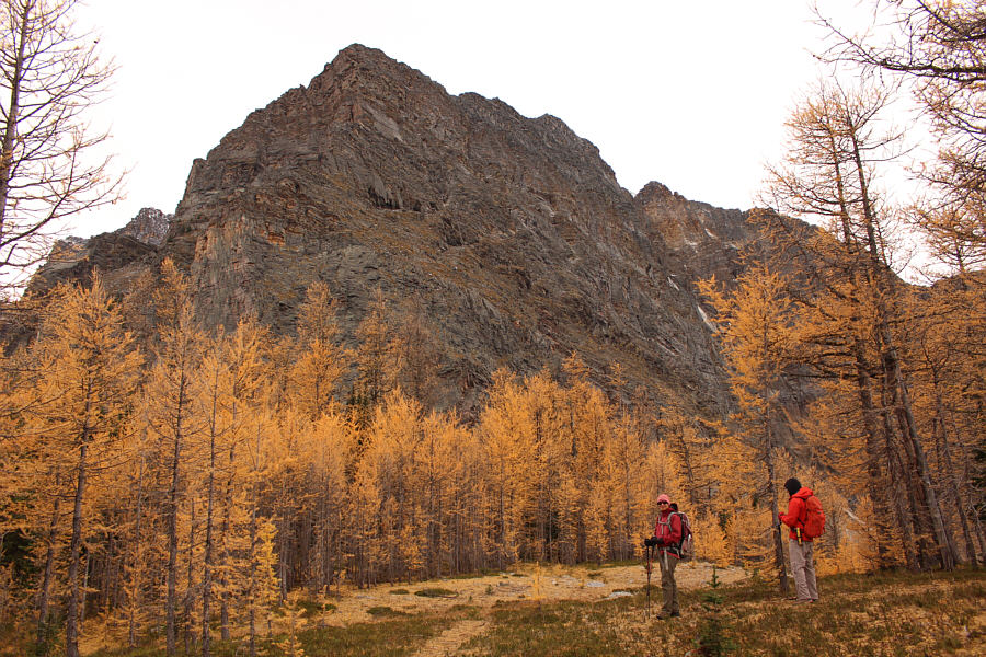
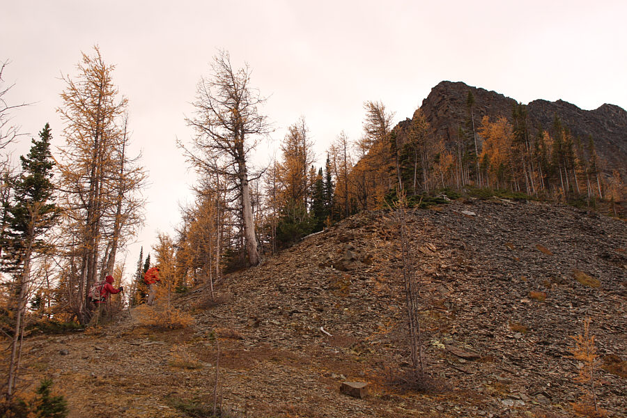
Larches abound below the northeast outlier of Storm Mountain.

Was it worth it to come here?

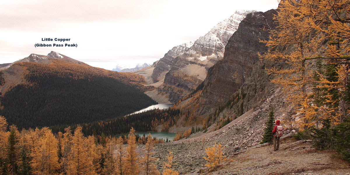
Near the high point of Arnica Ridge (2308 metres) is this view to the south of Twin Lakes and Gibbon Pass.


It's tempting to keep scrambling up the mountain! 
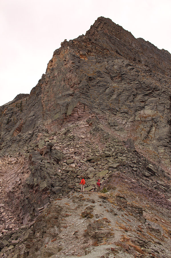
Shaun and Zosia go as far as where the ridge abuts steeper terrain guarding Storm Mountain's northeast outlier.
Too bad the weather didn't really cooperate on this day. This is looking down on Arnica Lake from the end of Arnica Ridge.
Okay, I think I've had my fill of larches for the season! 
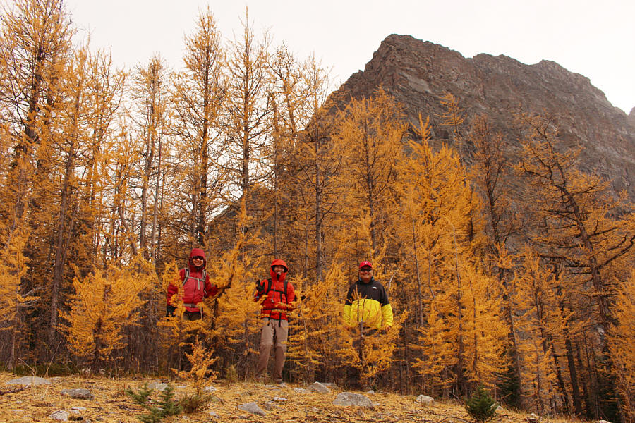
Zosia, Shaun and Sonny immerse themselves among larches on Arnica Ridge.
Sigh...time to go down now! Zosia looks eastward from an open section of Arnica Ridge.
So much nicer when the crowds have disappeared! Zosia stops again at Arnica Lake on the way out.
Hmmm...we probably shouldn't be hanging out underneath this thing... 
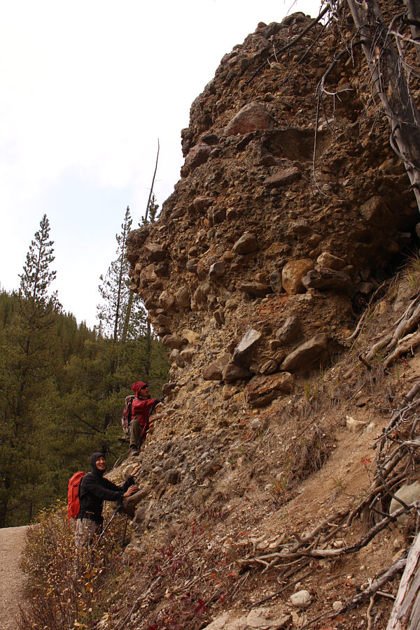
Shaun and Zosia check out a conglomerate outcrop beside the trail not far below the trailhead.
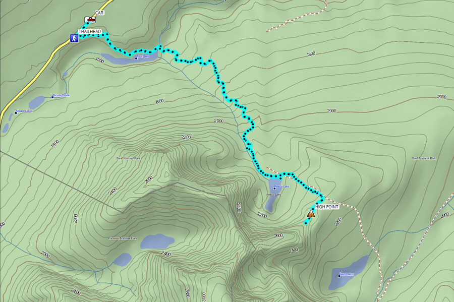
Really only worthwhile if the extension to the ridge is taken. Total Distance:  13.6 kilometres
Round-Trip Time:  5 hours 24 minutes
Cumulative Elevation Gain:  947 metres

GPX Data