BOU AVENUE
Baldy Ridge
On 30 September 2021, Zosia Zgolak and I were invited to join Dinah Kruze and Bob Spirko for a hike up unofficially-named Baldy Ridge near Cat Creek in Alberta's Kananaskis Country Public Land Use Zone.  The hike is described in Gillean Daffern's Kananaskis Country Trail Guide, and although the high point is actually covered by forest, a lengthy section of the ridge to the south is bare of trees which is likely how the name was derived.  With two vehicles, we were able to set up a short car shuttle and do essentially a one-way hike.

Dinah and Bob rendezvoused with Zosia and me at the southern trailhead (300 metres south of the bridge over Cat Creek along Highway 40), and after we left my car there, Dinah drove all of us to the northern trailhead (2.5 kilometres north of the same bridge along Highway 40).  The start of the trail on the east side of the highway is not obvious, and an old road nearby only adds to the confusion.  Fortunately, Bob located the trail after a quick search, and we were soon hiking up through the forest.  There is a myriad of horse and cattle trails crisscrossing the area, but for the most part, we just kept climbing uphill whenever there was any doubt.  Eventually, we gained the crest of Baldy Ridge and followed it northward to the high point.  This entailed a short drop into a dip along the ridge, but otherwise, we had no other issues.  The high point is completely forested and offers zero views, but we stopped here anyway for a short break.

From the high point, Dinah, Bob, Zosia and I retraced our steps to the dip and continued heading south past where we initially gained the ridge crest.  Ultimately, we broke out of the trees and reached the bare section of the ridge where we were finally granted some far-reaching views.  After descending this enjoyable section of the ridge, we re-entered forest and muddled our way down to Cat Creek without too much grief.  We picked up an exploration road on the far side of the creek and followed it around a minor knob before dropping down to some flats further downstream.  Bob is familiar with this area and easily led us out to the highway, but there is a maze of tracks here which could potentially be confusing to navigate.  Once we reached my car, I drove everyone back to Dinah's car at the northern trailhead.

With our hike completed, Zosia and I convinced Dinah and Bob to subsequently join us in the town of Okotoks for a round of disc golf late in the day.  For their first time playing, Dinah and Bob did very well; in other words, they did not lose any discs!  I am unsure about whether or not Dinah and Bob enjoyed the game, but Zosia and I certainly enjoyed their company throughout the day.

Be sure to check out Bob's trip report.
Need a cairn or some flagging here!

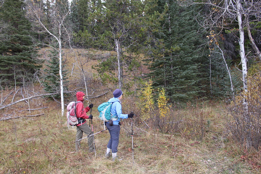
Zosia and Dinah seem unsure about the inauspicious starting point of the hike.

Just grinding it out... 
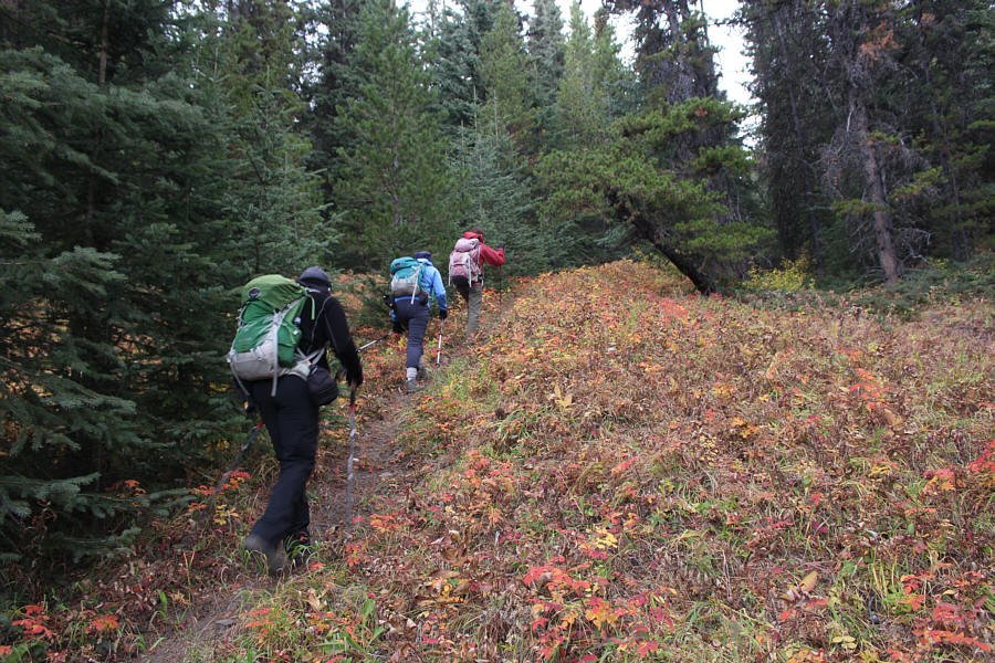
Bob, Dinah and Zosia gain elevation on a narrow trail.
Easy bushwhack! Dinah, Bob and Zosia weave between tree trunks near the crest of the ridge.
Not much to see so far, but this grass is a nice colour! Bob, Dinah and Zosia drop down into a dip along the ridge.
Or she's thinking about eating a hamburger right now... Dinah is a bit puzzled by the multi-coloured blazes along this trail.
Turn around here for some views. 
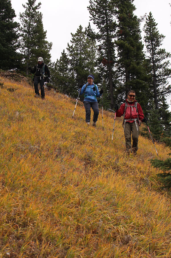
Zosia, Dinah and Bob push on up through a clearing on the ridge.
Another forested summit...sigh. Sonny, Bob, Dinah and Zosia stand on the forested high point of Baldy Ridge (2150 metres).
Best part of the hike coming up! 
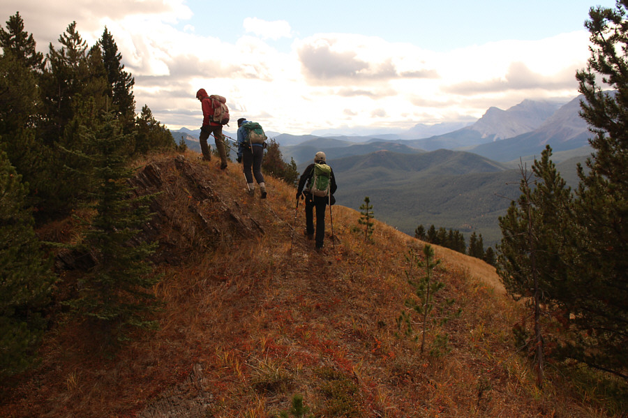
Zosia, Dinah and Bob reach the part of Baldy Ridge that earns its unofficial name.

Hardly looks like a ridge from this vantage point!

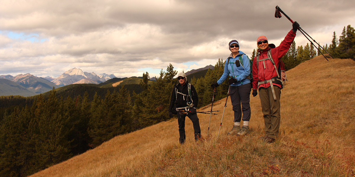
Bob, Dinah and Zosia pause to enjoy the views from Baldy Ridge.  At distant left is Mist Mountain.


Hook Ridge (in front of Mount Muir) looks like a good reason to return to that area. To the west are some of the peaks of the High Rock Range.
Nice to finally have some sunshine! 
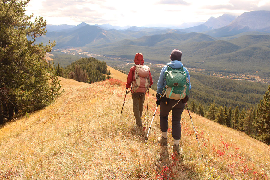
Zosia and Dinah proceed to descend the rest of Baldy Ridge.
Can you spot Plateau Mountain on the horizon? Zosia follows Bob down the ridge.
Hiking granny! 
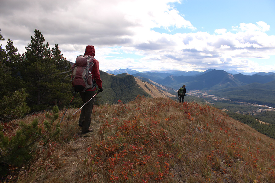
The open ridge presents no difficulties for Dinah.
We're not out of the woods yet... A side trail branches off to the left here, but it is best to keep straight and follow the open ridge crest as far as possible.
Do you think my cats would like it here? Bob rock-hops across Cat Creek.
Mines of Moria? At the entrance to a mine shaft along an exploration road, Sonny holds up his pocket light.

Photo courtesy of Zosia Zgolak

Yep, it feels like fall! 
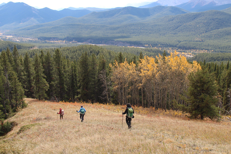
Bob, Zosia and Dinah pass by some aspen trees on the hike out.
Adios, Baldy Ridge! Here is a final glimpse of Baldy Ridge at upper right.
Bob looks a bit creepy with a putter on his head! Dinah and Bob play disc golf at a course in the town of Okotoks.

Photo courtesy of Zosia Zgolak

A nice romp for some exercise and not much more. Total Distance:  12.5 kilometres
Round-Trip Time:  5 hours 41 minutes
Cumulative Elevation Gain:  665 metres

GPX Data