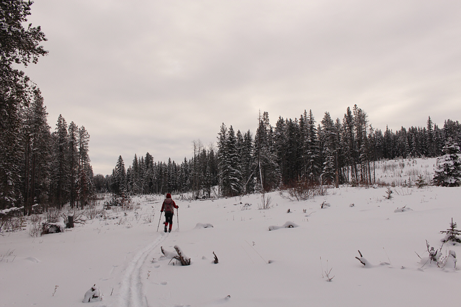
Covered by snow, the logging road is a bit ambiguous to follow through these cut blocks.

Zosia carefully skis over a snow-covered creek which cuts across the logging road.
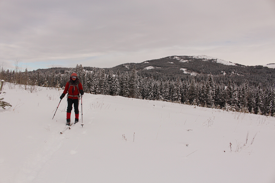
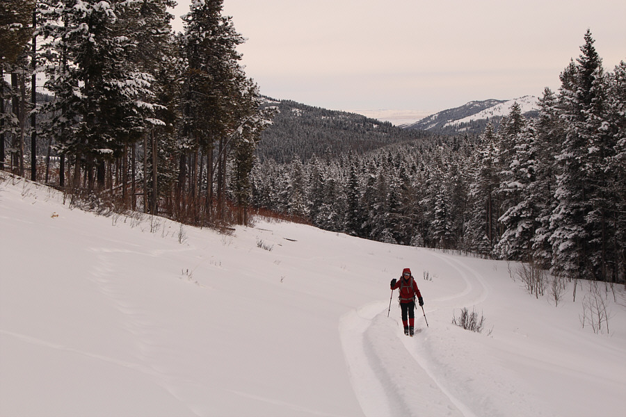


Photo courtesy of Zosia Zgolak

|
|
Covered by snow, the logging road is a bit ambiguous to follow through these cut blocks. |
|
|
Zosia carefully skis over a snow-covered creek which cuts across the logging road. |
|
|
The logging road is again difficult to follow as Zosia skis through another cut block. In the distance is Mount Backus. |
|
|
Gaining another road, Zosia finds some convenient ATV tracks to ski on. |
|
|
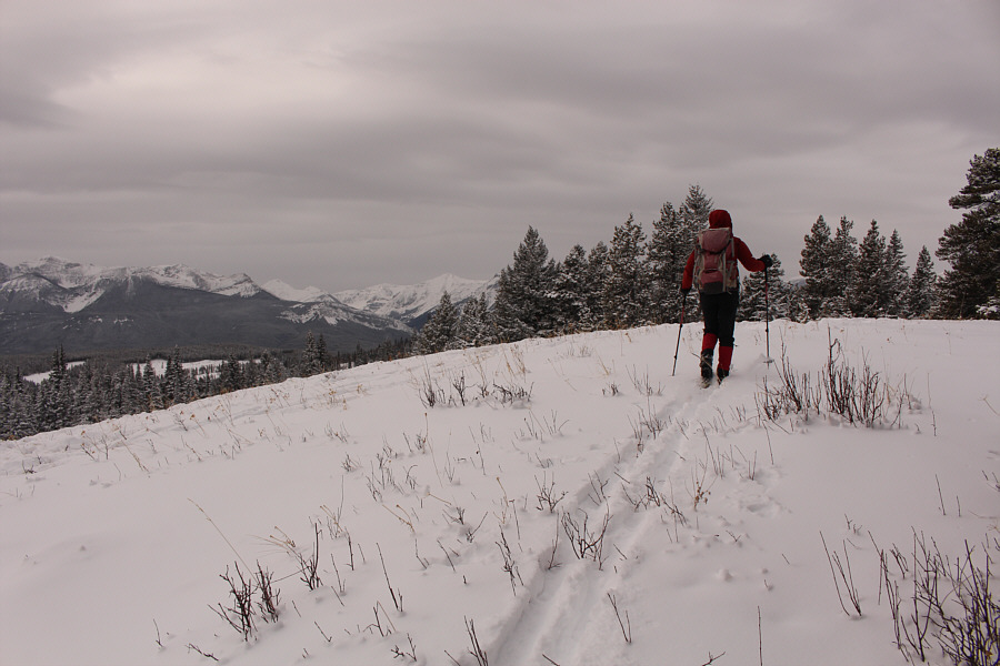
Zosia abandons the road to climb up the ridge. Visible at left is the east high point. |
|
|
Sonny runs into some difficult terrain
below the east high point. Photo courtesy of Zosia Zgolak |
|
|
Zosia is relieved to clear the last trees after a steep and miserable climb through thick forest. |
|
|
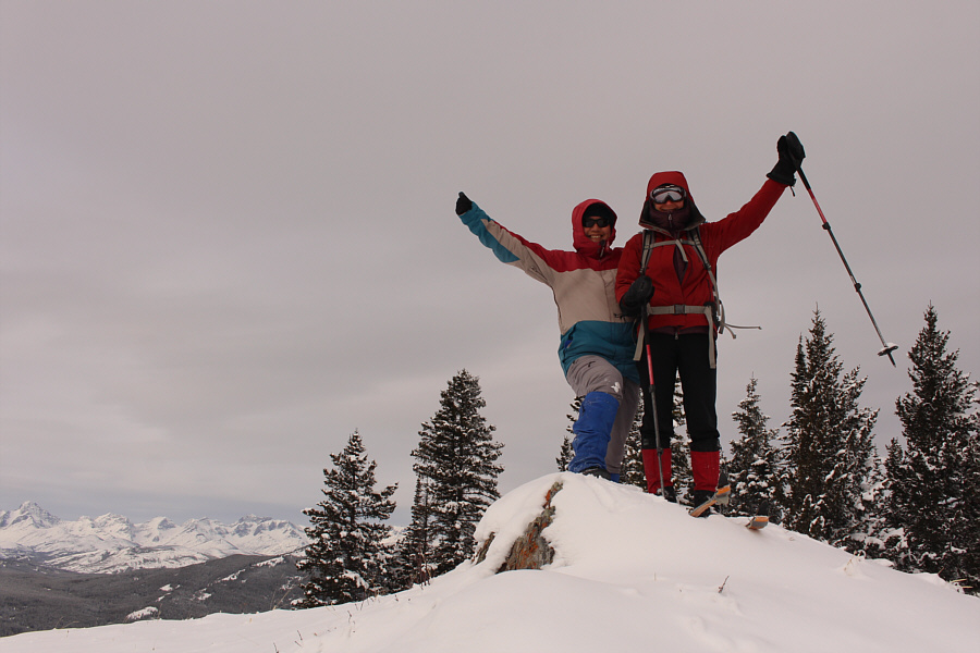
Sonny and Zosia rejoice on the east high point (1698 metres) of Beaver Mines Ridge. |
|
|
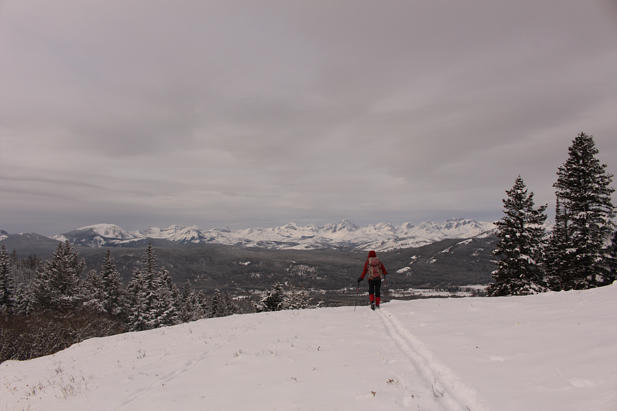
Zosia descends slightly from the east high point to get a better view of the peaks to the west. |
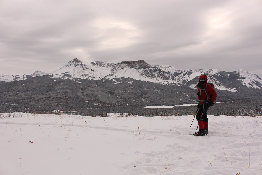
The view to the south is dominated by Table Mountain and Beaver Mines Lake.
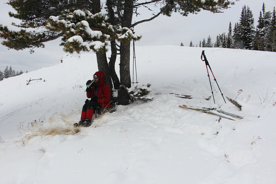 |
Zosia huddles under a tree near the east high point for a quick lunch. |
 |
Zosia arrives at the west high point (1698 metres) of Beaver Mines Ridge. |
 |
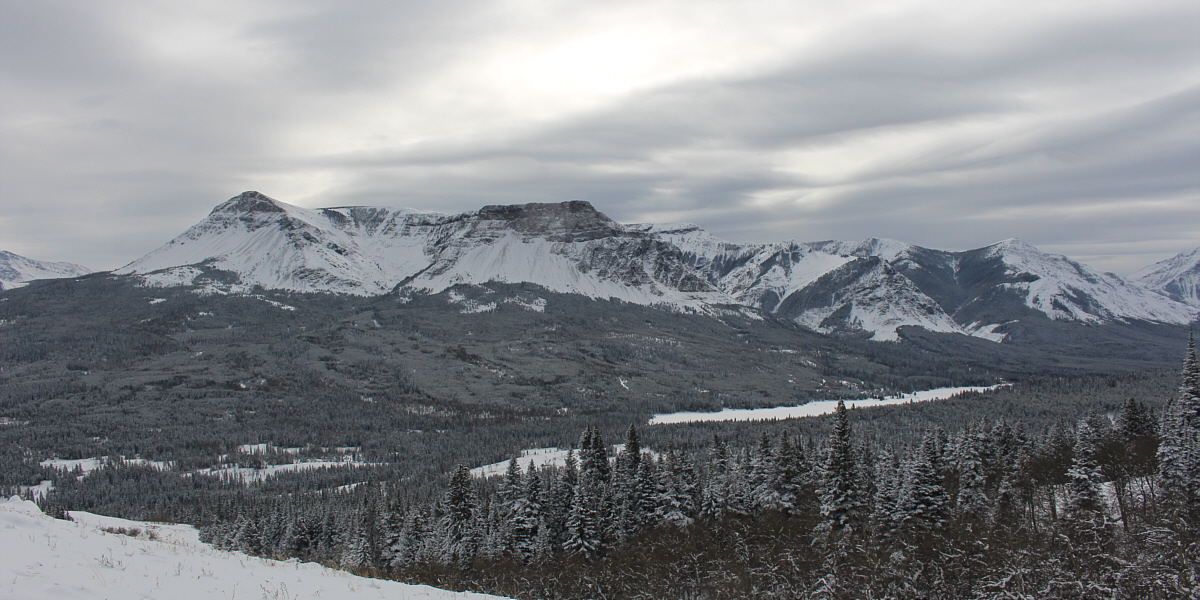
The view to the south from the west high point is nearly the same as that from the east high point. |
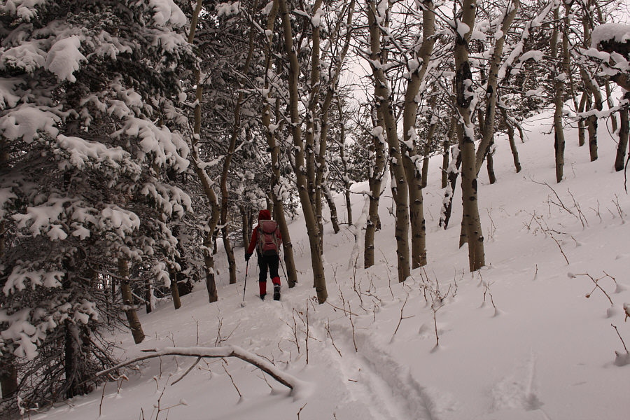 |
Zosia cuts through some trees to bypass the top of the east high point. |
Sonny descends what appears to be a road along the ridge.
Photo courtesy of Zosia Zgolak
 |
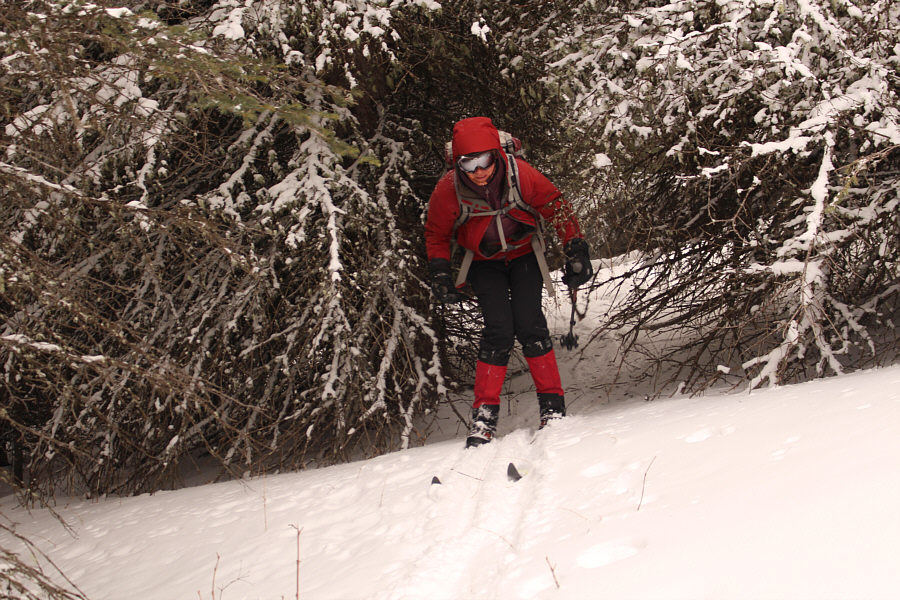
Zosia enjoys skiing down the ridge road. |
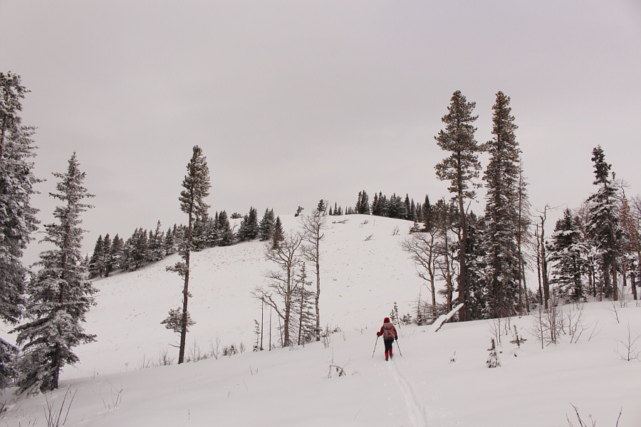 |
Zosia heads for a subsidiary high point along the north ridge. |
 |
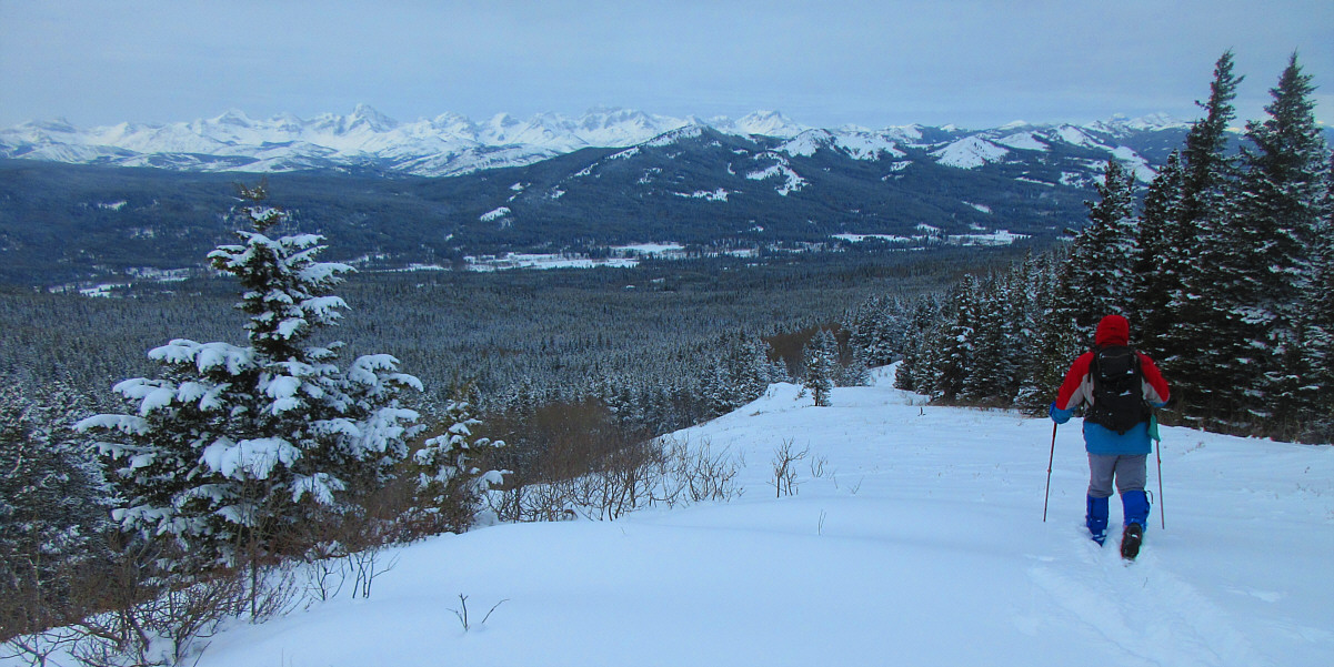
Zosia continues to head north along the ridge. |
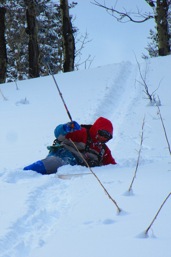 |
Sonny does a pretty good face plant while descending this slope. Photo courtesy of Zosia Zgolak |
 |
There is a lot of skiing between trees as Zosia descends the northeast end of Beaver Mines Ridge. |
 |
Zosia retraces her tracks on the return ski. |
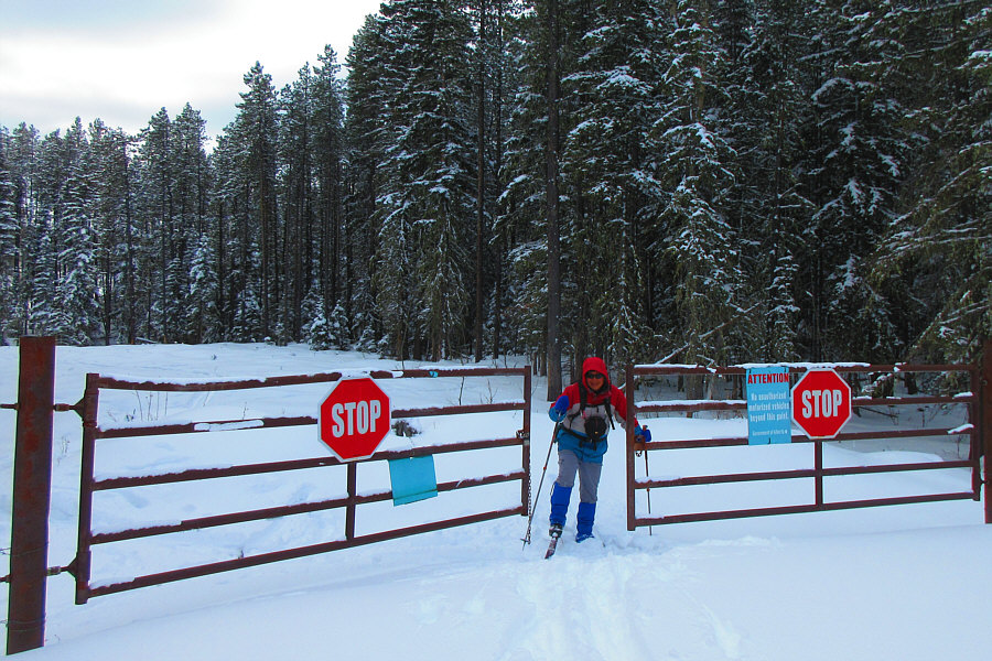 |
Sonny arrives back at the gate near the highway. Photo courtesy of Zosia Zgolak |
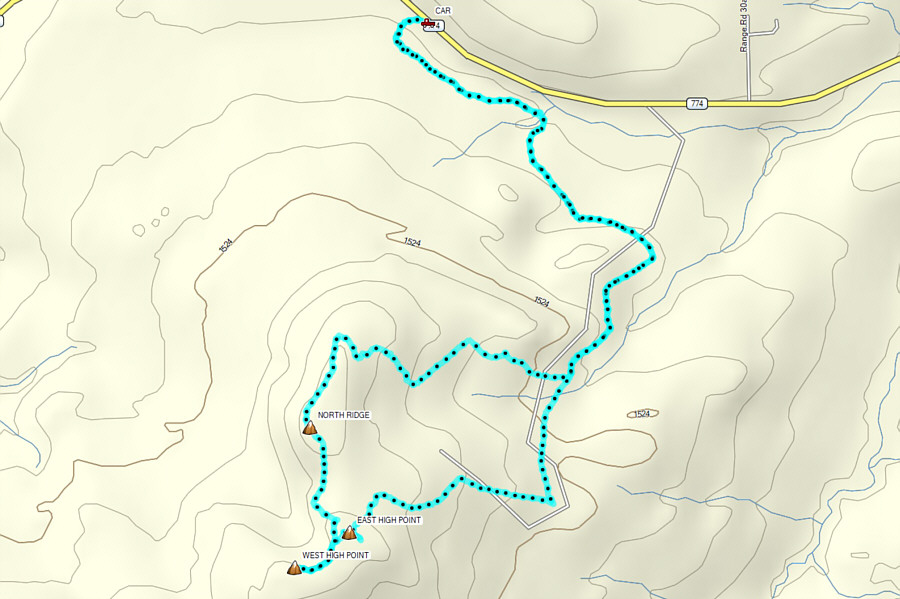 |
Total
Distance: 10.5 kilometres Round-Trip Time: 5 hours 21 minutes Cumulative Elevation Gain: 429 metres |