![]() |
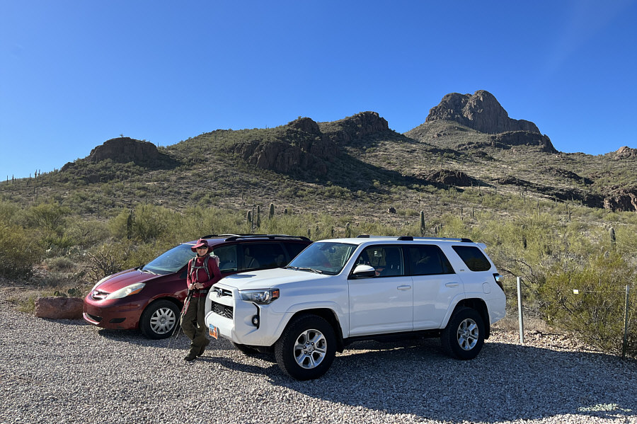
Zosia prepares to hike up Safford Peak (right) from a pullout near the edge of the National Park boundary. |
![]() |
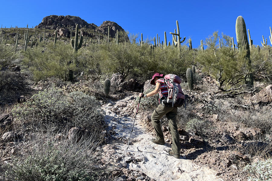
Saguaro cacti are the signature plants in this park. |
![]() |
After climbing over a low pass, Zosia takes a more direct line toward Safford Peak. |
![]() |
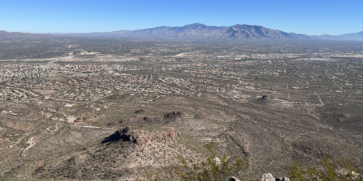
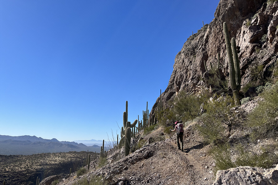
The trail gains elevation in earnest closer to the peak. |
![]() |
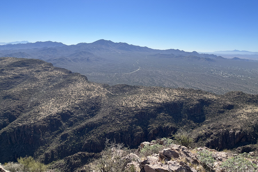
Zosia contours around to the south side of the peak below the cliffs of the summit block. |
![]() |
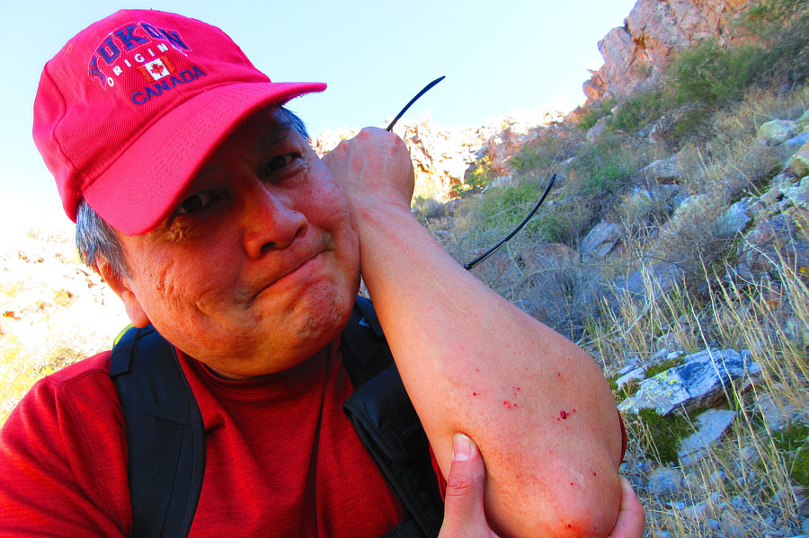
There is no shortage of cacti along this hike. |
![]() |
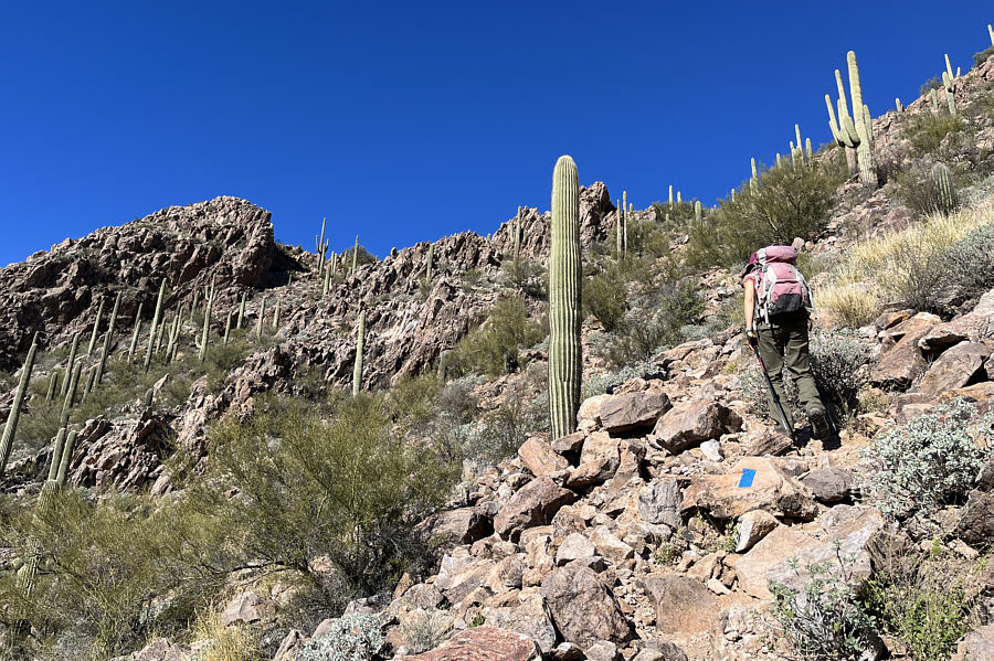
Painted blue rectangles help point the way as the route gets steeper. |
![]() |
Zosia is barely visible as she climbs up the last steep section before the summit ridge. |
![]() |
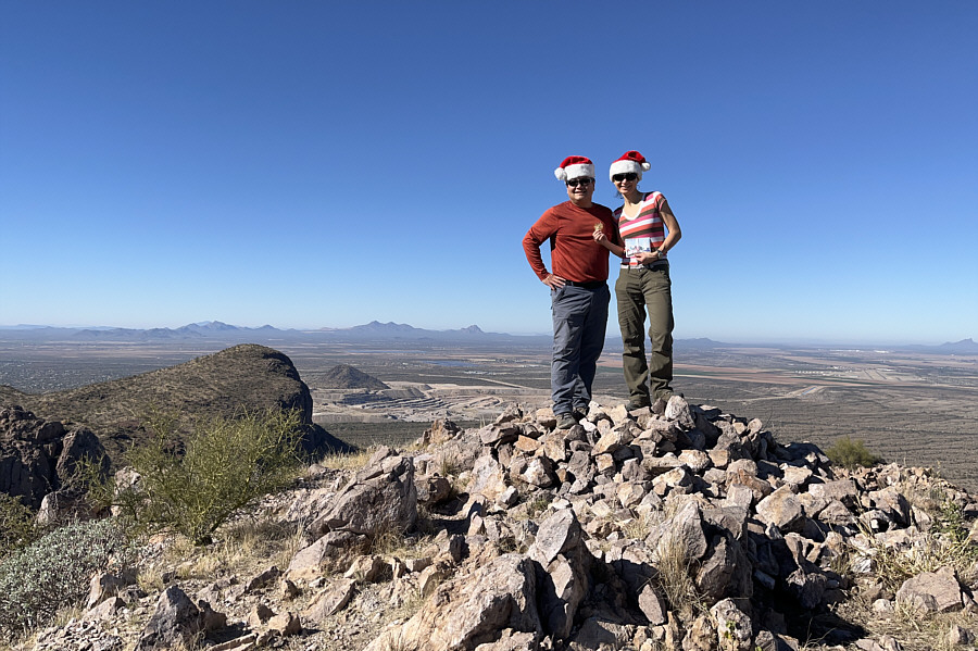
Sonny and Zosia stand on the summit of Safford Peak (1093 metres). |
The city of Tucson is spread out across the valley to the east all the way to the Santa Catalina Mountains.
![]() |
To the south are the Tucson Mountains with Wasson Peak (left of centre) being the highest. |
![]() |
Sonny shows the perils of slipping and
landing on a cactus. Photo courtesy of Zosia Zgolak |
![]() |
Zosia makes her way down a trail in Sanctuary Cove. |
![]() |
Zosia stands outside Sanctuary Cove's chapel. |
![]() |
Near the chapel, a hummingbird darts about among some nearby bushes. Photo courtesy of Zosia Zgolak |
![]() |
Total
Distance: 6.0 kilometres Round-Trip Time: 3 hours 55 minutes Cumulative Elevation Gain: 654 metres |