
Despite the poor quality of the snow, coverage on the lookout access road is excellent.
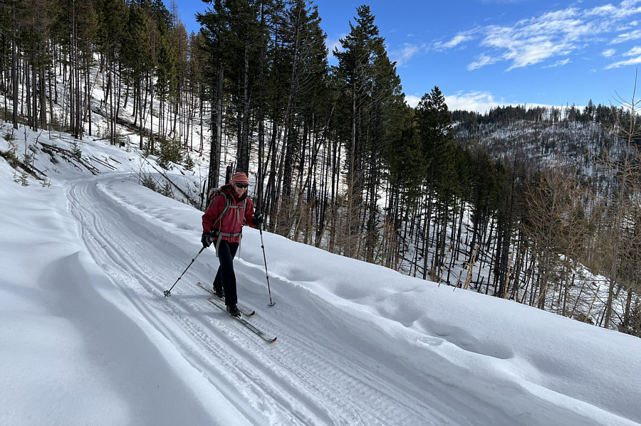
Zosia climbs up a long rising switchback in the road.

|
|
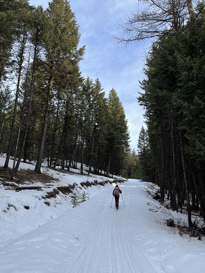
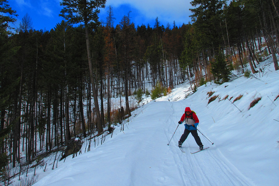
Zosia begins skiing up the lookout access road. |
|
|
Despite the poor quality of the snow, coverage on the lookout access road is excellent. |
|
|
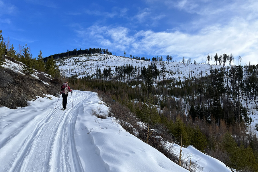
The forest begins to open up as Zosia climbs higher up the road. |
|
|
Zosia climbs up a long rising switchback in the road. |
|
|
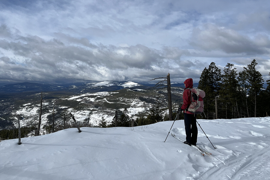
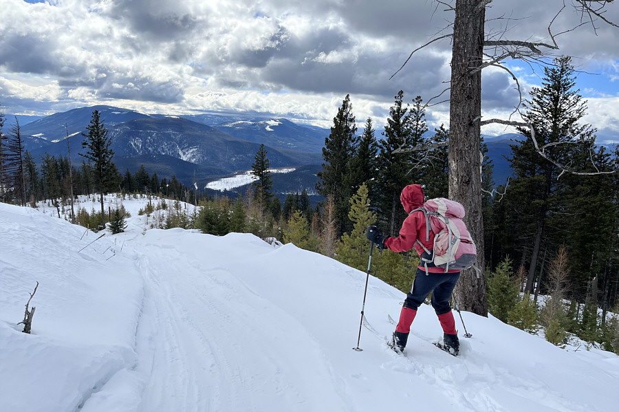
A clearing near the south end of the summit ridge grants some far-reaching views to the west of mostly unnamed hills. |
|
|
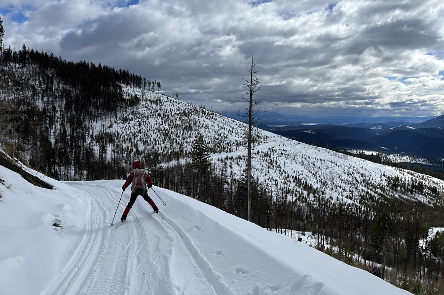
Zosia resumes skiing up the road along the summit ridge. |
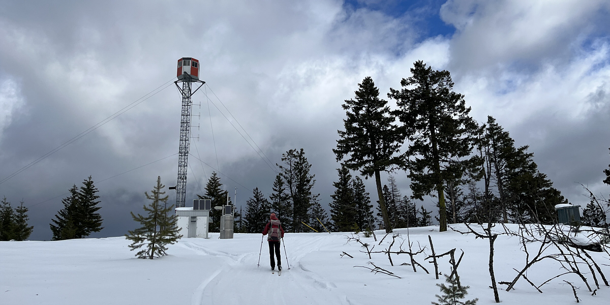
Zosia approaches the top of Plumbob Mountain which is also the site of Casey fire lookout. Note the outhouse at far right.
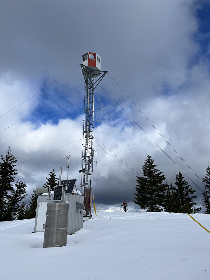 |
According to Mike Potter, this is the third lookout structure to be built on Plumbob Mountain. |
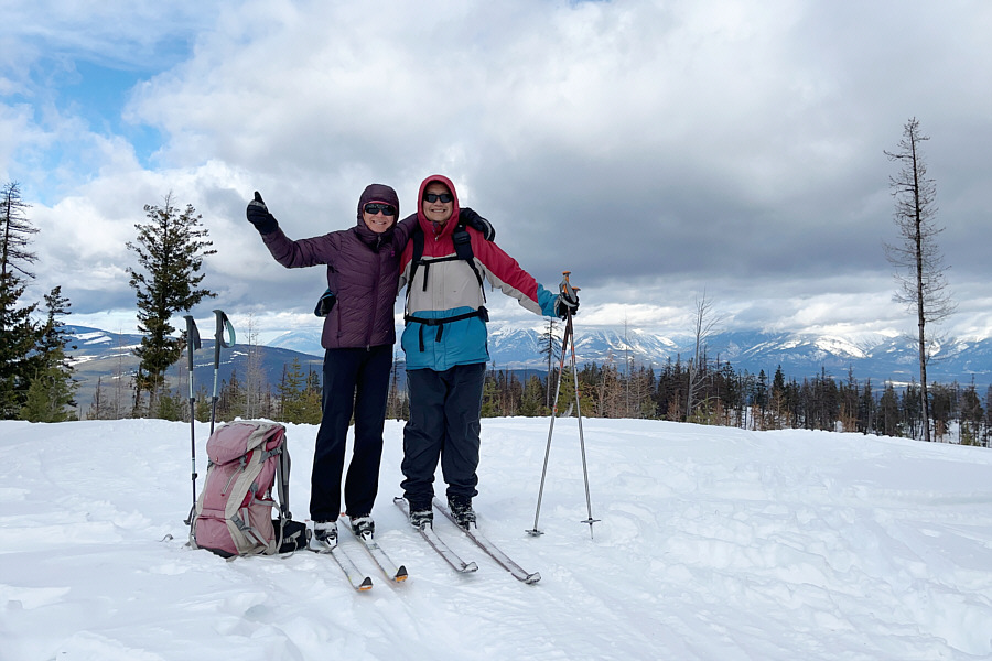 |
Zosia and Sonny reach the summit of Plumbob Mountain (1670 metres). |
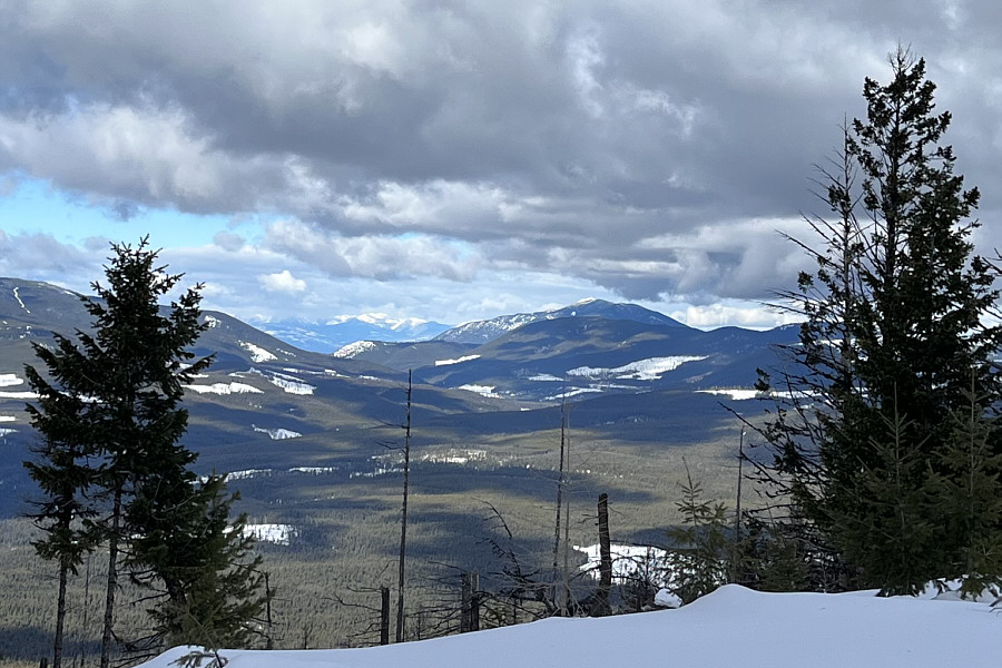 |
Visible to the northwest about 28 kilometres away is Mount Baker (right of centre). |
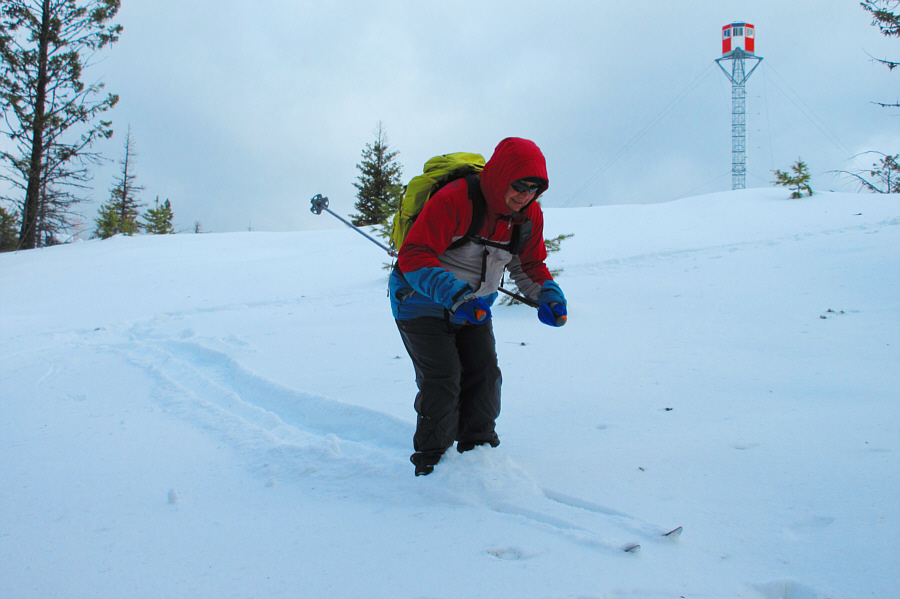 |
Sonny makes a few "turns" just below
the summit. Photo courtesy of Zosia Zgolak |
 |
Zosia tries to use the untracked snow beside the snowmobile tracks to help control her descent of the summit ridge. |
 |
Sonny finds snow plowing a bit awkward
on the narrow snowmobile tracks. Photo courtesy of Zosia Zgolak |
 |
Parts of Lake Koocanusa can be seen in the distance as Zosia carefully negotiates a bend in the road. |
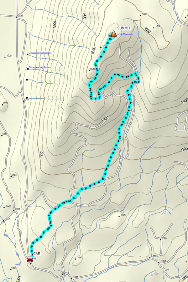 |
Total
Distance: 12.6 kilometres Round-Trip Time: 4 hours 39 minutes Net Elevation Gain: 617 metres |