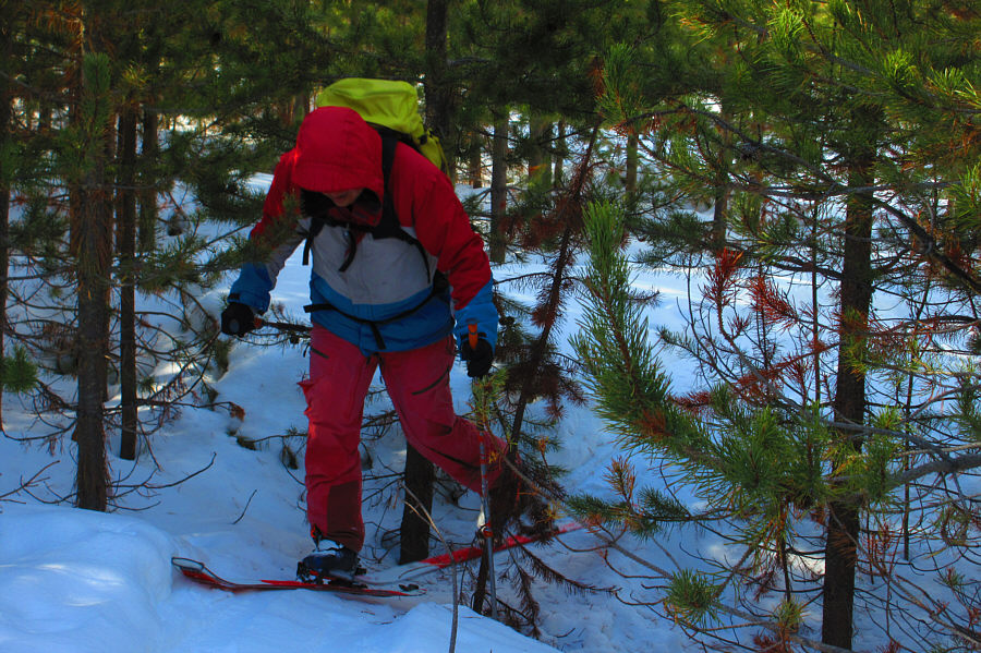
Sonny squeezes between some trees while working his way along the south bank of Vermiliion River.
Photo courtesy of Zosia Zgolak

|
|
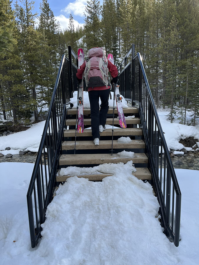
Not far from the parking lot, Zosia carries her skis across the bridge over Vermilion River. |
|
|
Sonny squeezes between some trees while working his way along the south bank of Vermiliion River. Photo courtesy of Zosia Zgolak
|
|
|
A couple of side drainages along the south bank of Vermilion River require some route-finding to ski across. |
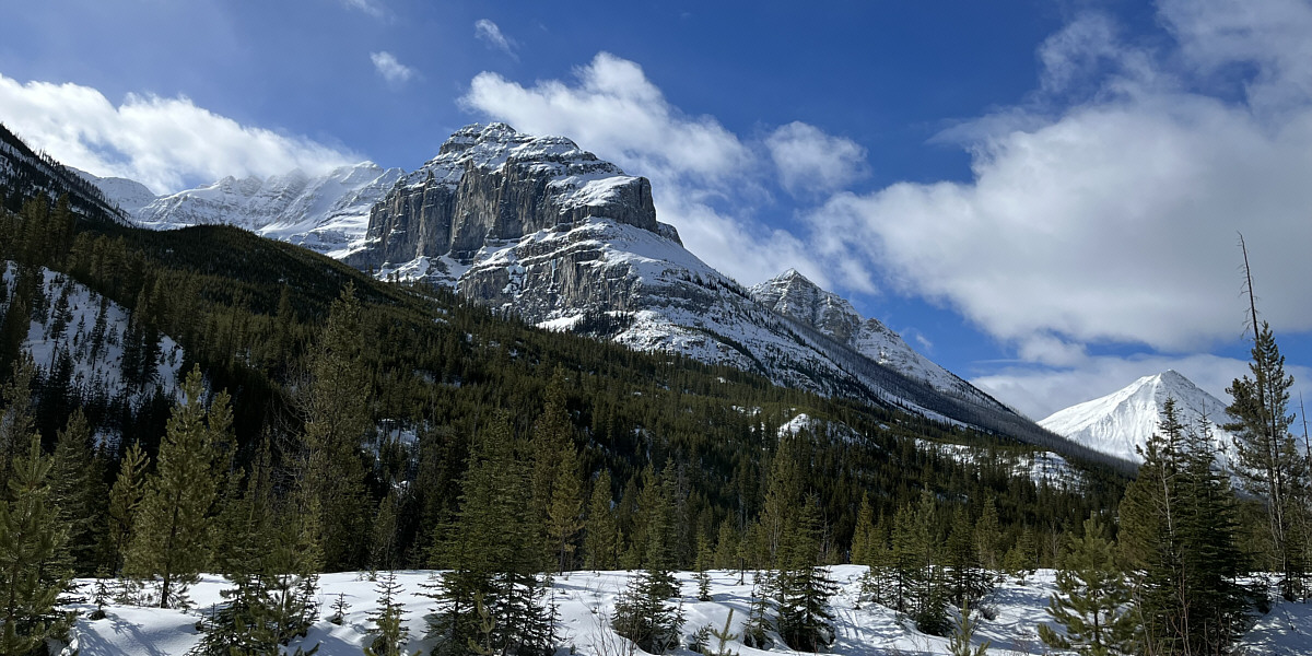
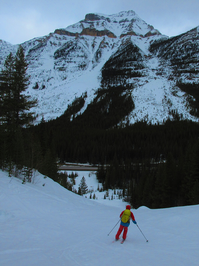
This clearing near the start of the fire break grants views to the south of Stanley Peak (far left) and Vermilion Peak (far right).
 |
Zosia begins climbing up the fire break. |
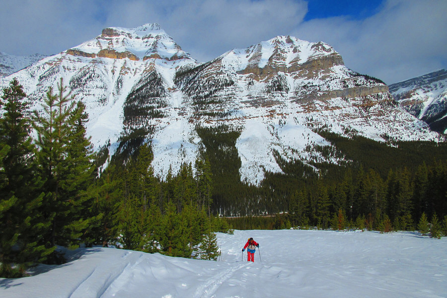 |
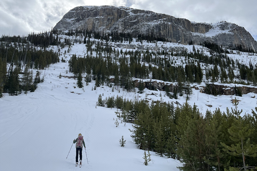
Mount Whymper
and its eastern outlier dominate the background as Sonny climbs up
the fire break. Photo courtesy of Zosia Zgolak |
 |
Zosia approaches the top of the fire break. She would stop below the first cliff band just past the trees in the foreground. |
 |
Zosia stops for a break at what appears to be a snow-choked adit. |
 |
Zosia skis down the upper part of the fire break. |
 |
Zosia descends the most difficult section which is steep and has a few moguls. |
 |
Sonny makes a few final turns just
before the bottom of the fire break. Photo courtesy of Zosia Zgolak |
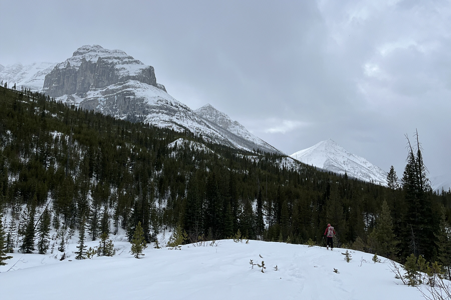 |
Here is a last look at Stanley Peak's north outlier (left) and Vermilion Peak (right) under increasingly cloudy skies. |
 |
Zosia tries to re-cross the bridge near the trailhead without removing her skis. |
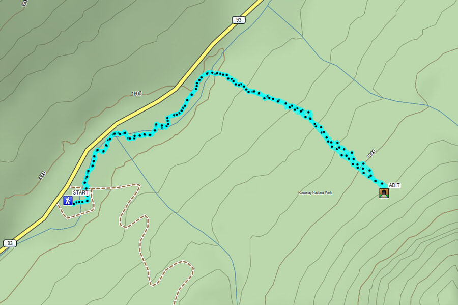 |
Total
Distance: 5.0 kilometres Round-Trip Time: 3 hours 7 minutes Net Elevation Gain: 250 metres |