For our descent, Zosia and I more or less retraced our steps down the mountain. Not surprisingly, descending the upper cliff band presented the most challenges for us, but with careful route-finding, we methodically made our way down safely to easier terrain. Upon regaining the CDT, we settled into a long but straightforward plod back to Granite Park and ultimately to the trailhead. The grizzly bear was nowhere to be found during our uneventful return journey.
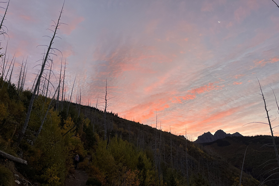 |
Dawn breaks as Zosia hikes up Granite Park Trail. |
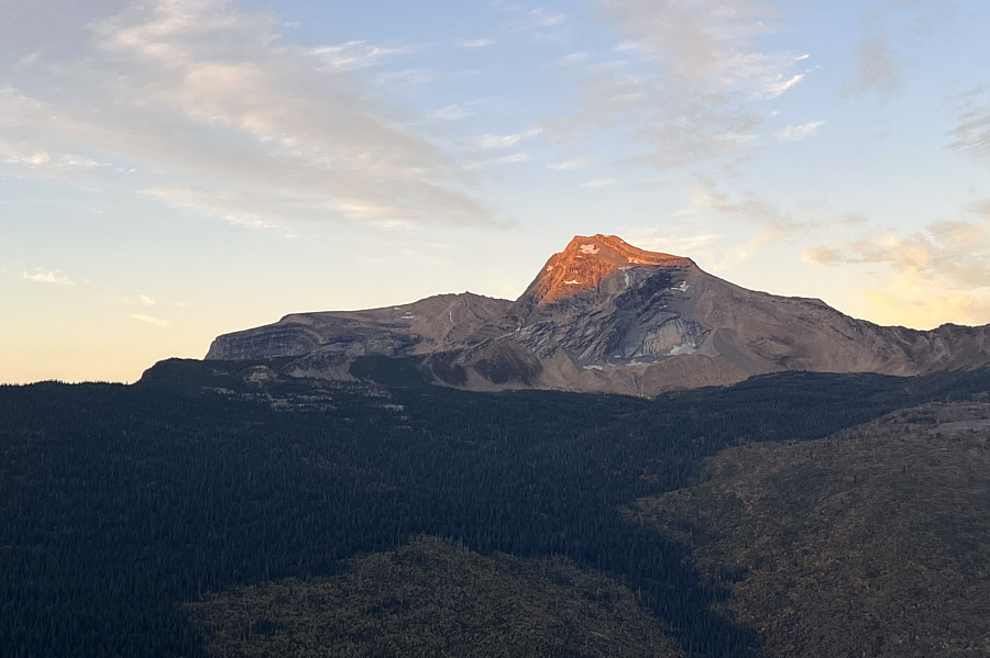 |
Sunlight hits the top of Heavens Peak. |
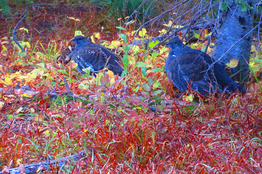 |
A couple of grouse try to remain
inconspicuous on the side of the trail. Photo courtesy of Zosia Zgolak |
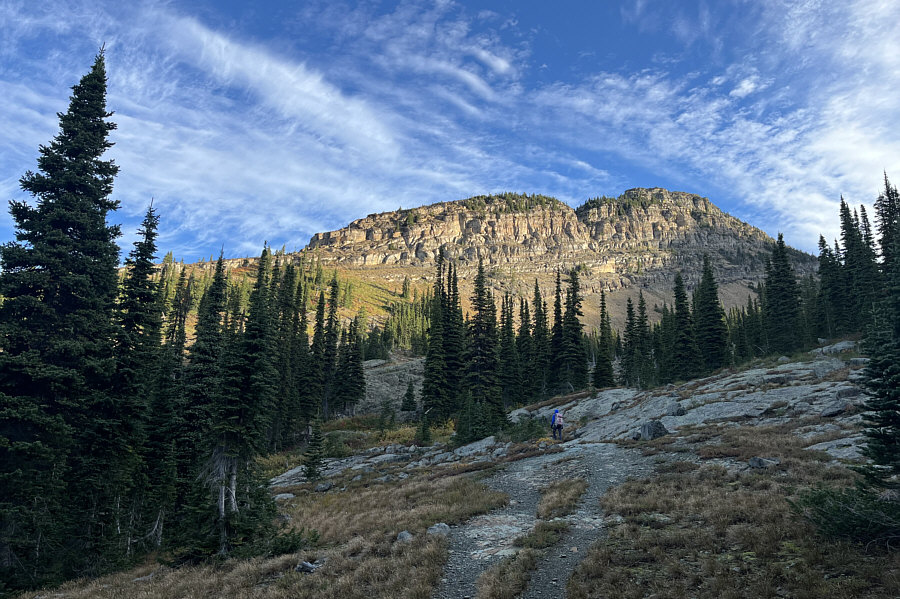 |
Zosia passes Granite Park backcountry campground along a short cut to Highline Trail. |
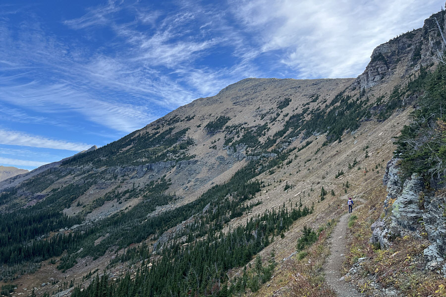 |
Zosia hikes along Highline Trail with Swiftcurrent Mountain towering above her. This section of Highline Trail is also part of the Continental Divide Trail. |
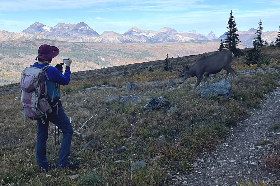 |
A mule deer slowly detours around Zosia. |
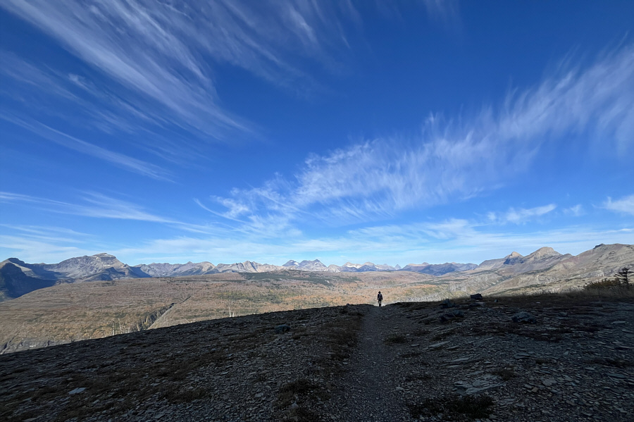 |
Far-reaching views abound along Highline Trail. |
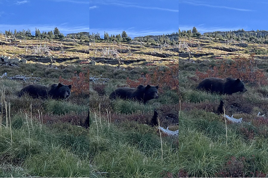 |
A large grizzly bear ambles along Highline Trail. |
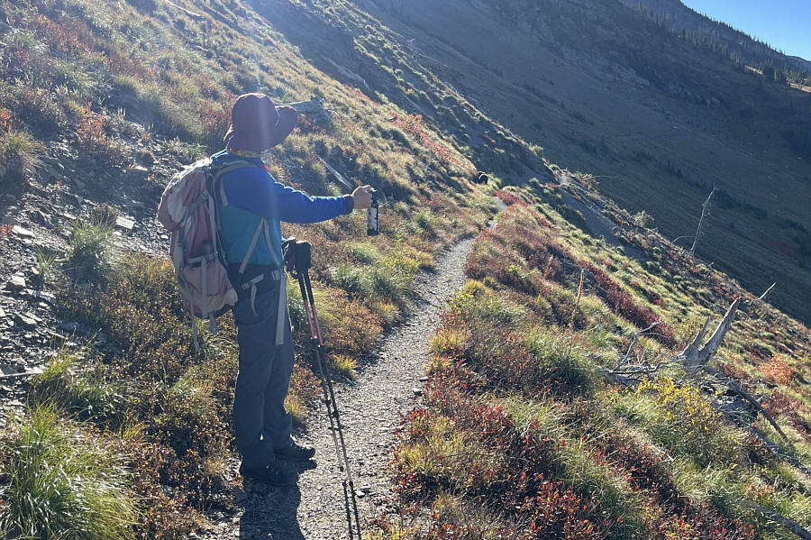 |
The grizzly bear stops to feed on the same huckleberry patch that Zosia was just eating from a few minutes earlier. |
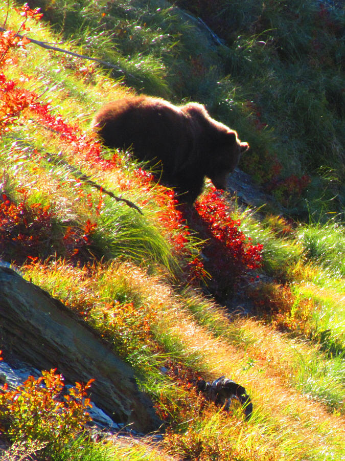 |
Here is a last look at the grizzly bear in the huckleberry patch. Photo courtesy of Zosia Zgolak |
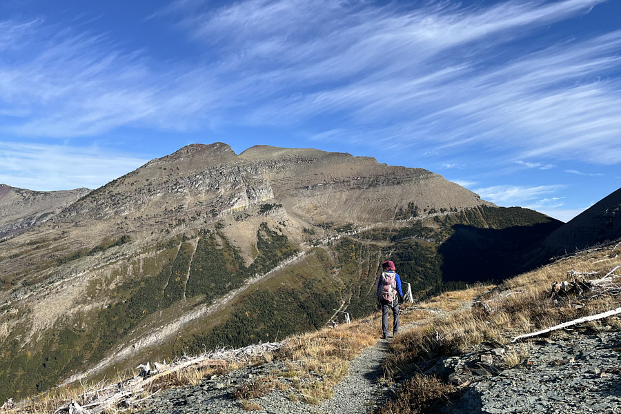 |
Ahern Peak dominates the view as Zosia turns a corner along Highline Trail. |
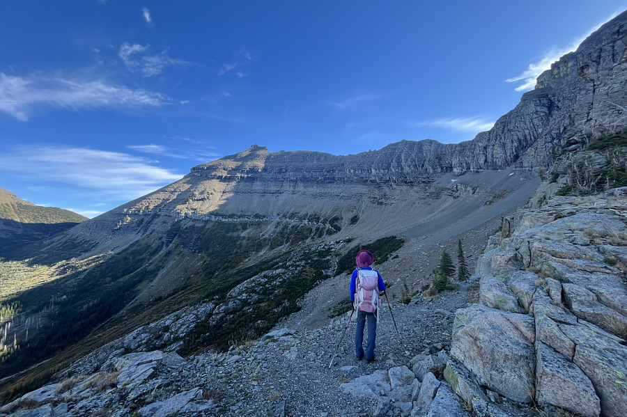 |
Zosia gets her first clear look at Iceberg Peak from Highline Trail. |
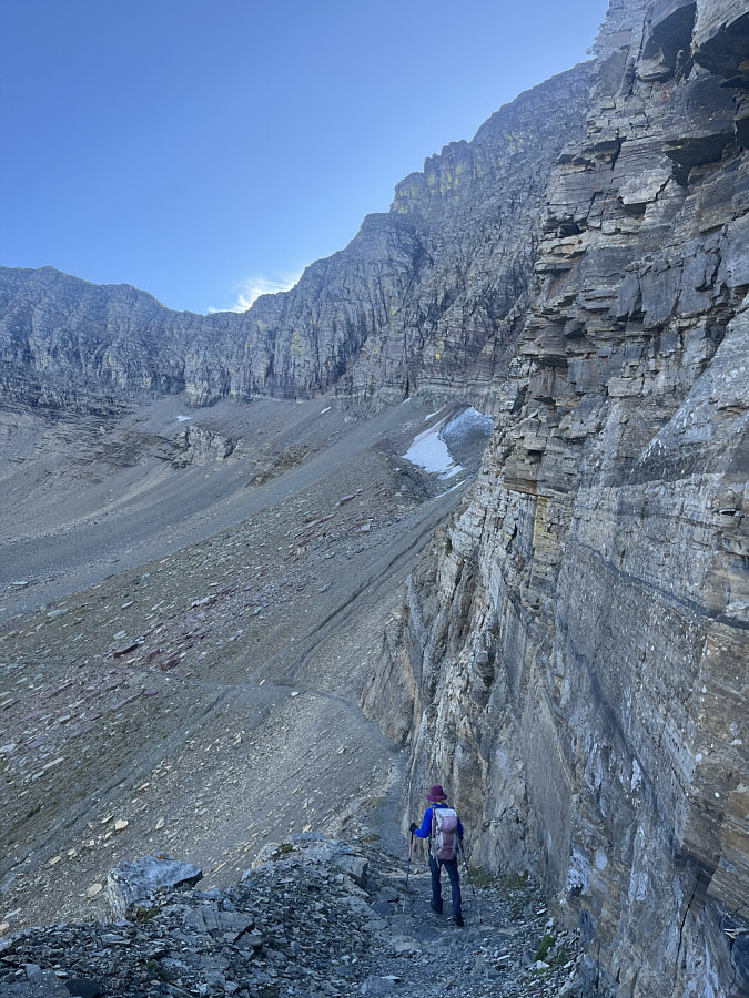 |
Early in the summer, the trail here is often still covered with snow--the Ahern Drift--which may be difficult if not impossible to bypass safely. |
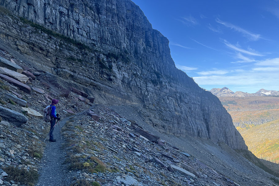 |
This part of Highline Trail is almost perpetually in shadow which explains why snow usually lingers here well into summer. |
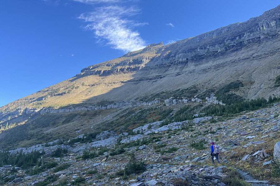 |
This is probably the best spot to abandon Highline Trail and begin scrambling up Iceberg Peak. The ascent route pretty much goes straight up the slope at centre and through the cliff bands directly below the visible summit block. |
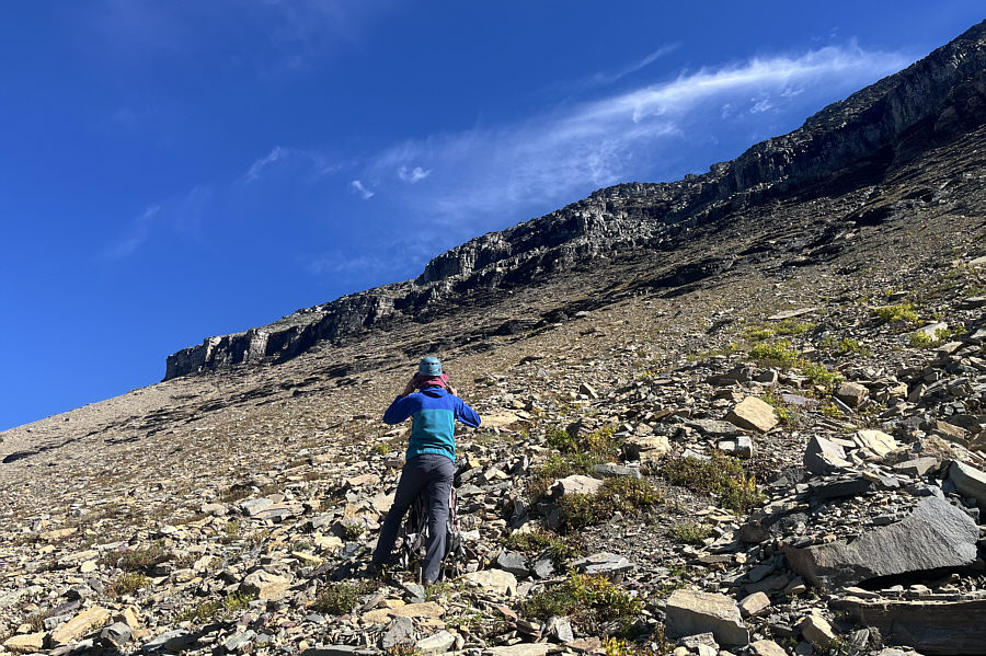 |
Zosia puts on her helmet in preparation for scrambling up the weakness (right of centre) in the upper cliff band. |
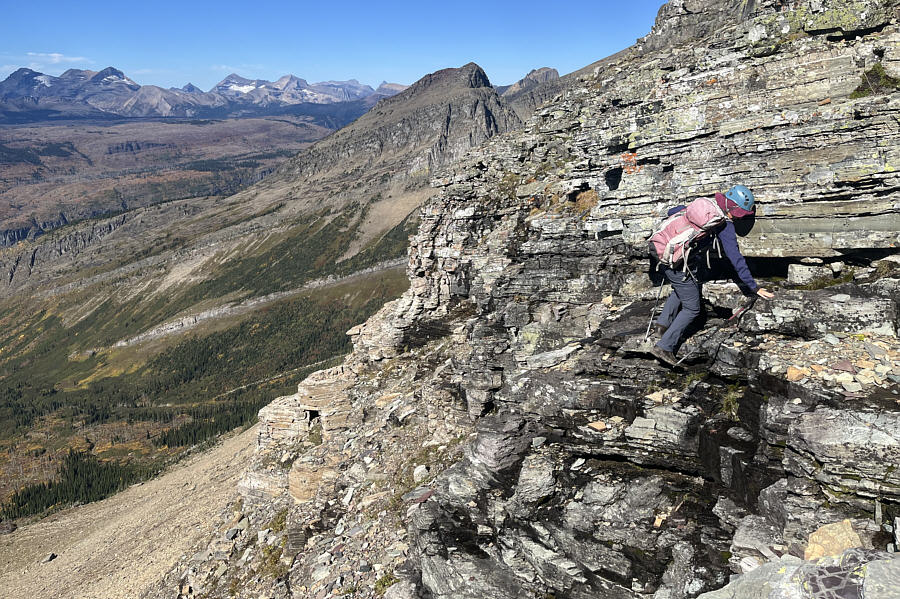 |
Getting through the upper cliff band entails a lot of route-finding and scrambling. |
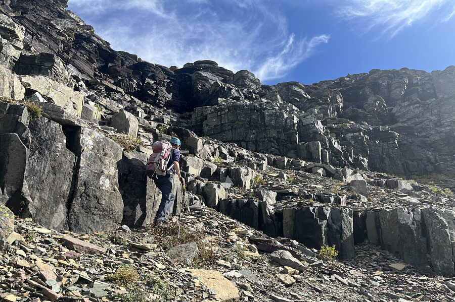 |
Zosia tries to figure out where to go next. |
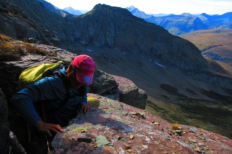 |
Sonny awkwardly climbs through a tight
gap in the rocks. Photo courtesy of Zosia Zgolak |
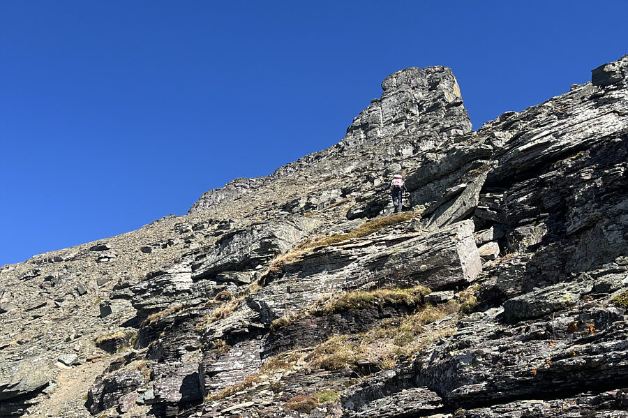 |
Zosia approaches the summit block of Iceberg Peak. |
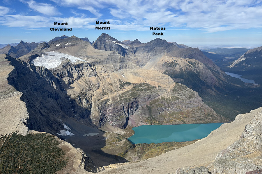 |
Helen Lake (bottom) and Elizabeth Lake (far right) steal the show in this view to the north from the summit of Iceberg Peak. |
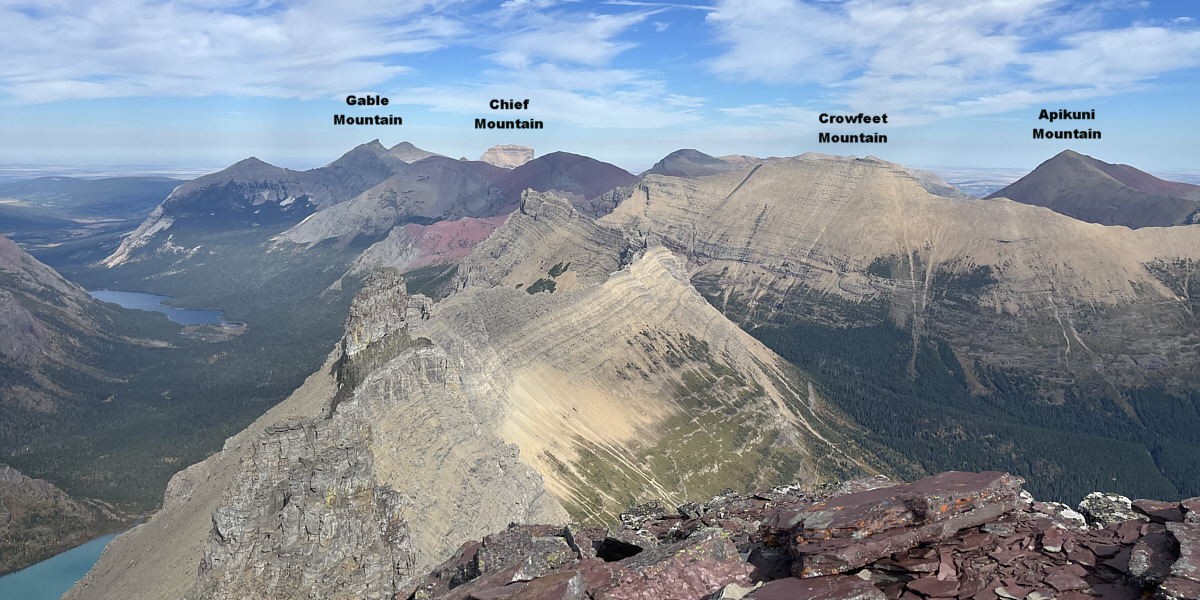
This is looking east from the summit.
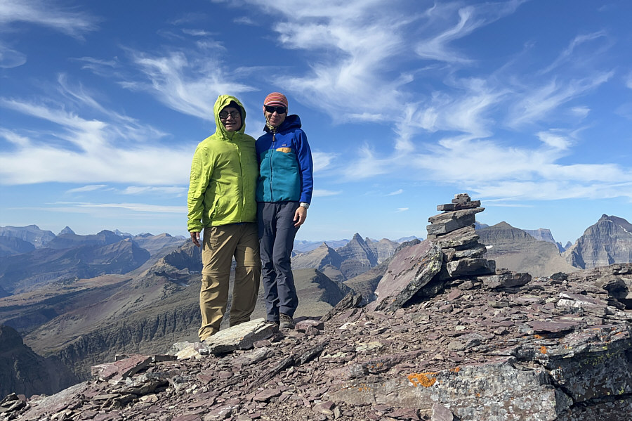 |
Sonny and Zosia stand on the summit of Iceberg Peak (2809 metres). |
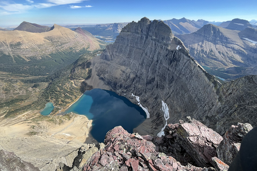 |
The best view of the day is that of Iceberg Lake and Mount Wilbur. |
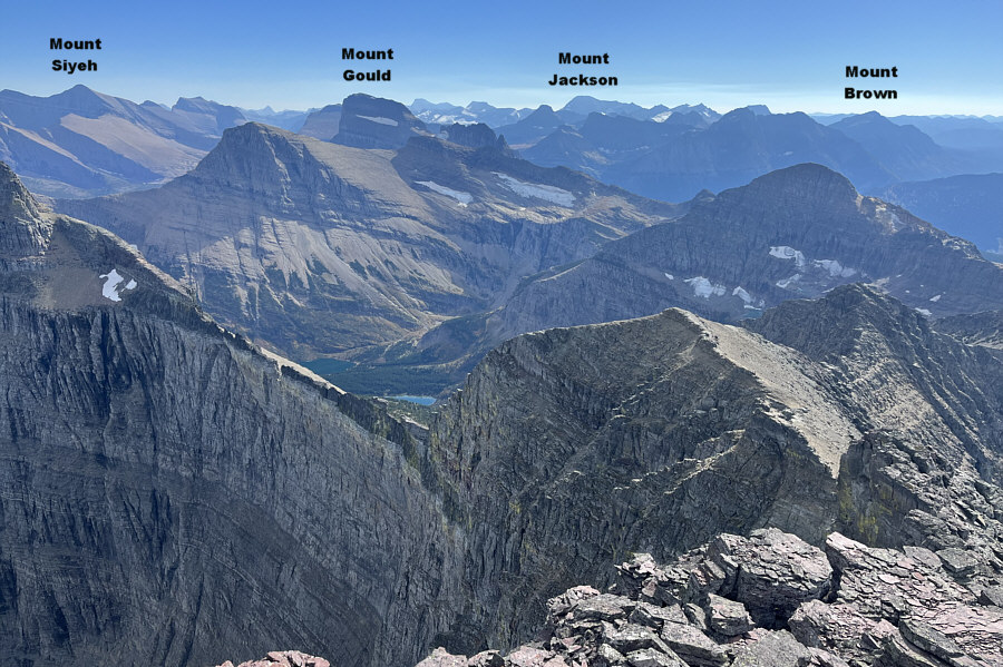 |
Numerous spectacular mountains stretch far away to the south. |
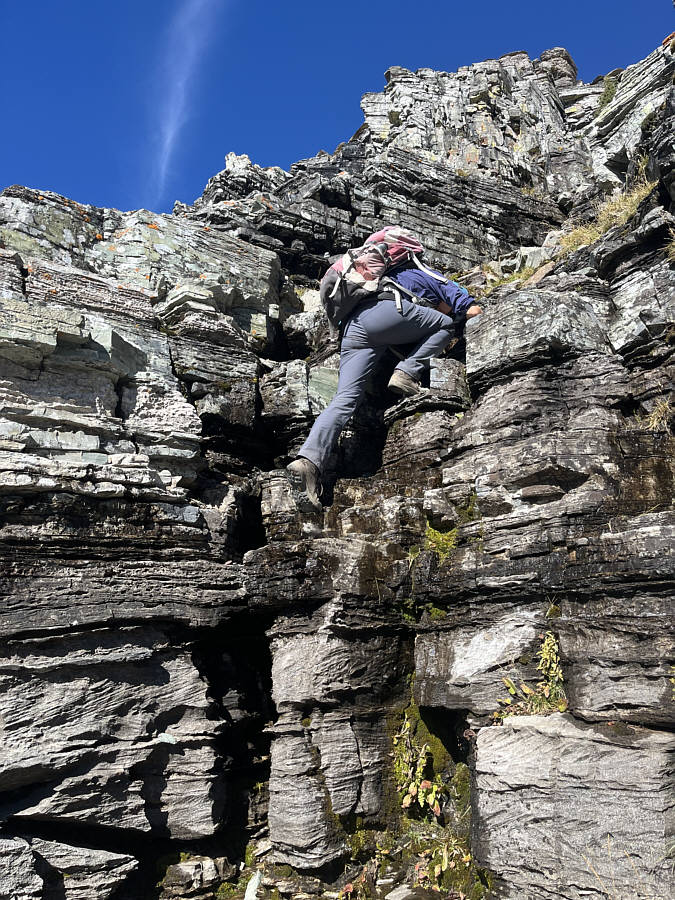 |
Zosia carefully down-climbs some complex terrain on descent. |
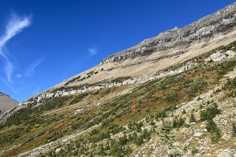 |
Here is a last look at the west face of Iceberg Peak. |
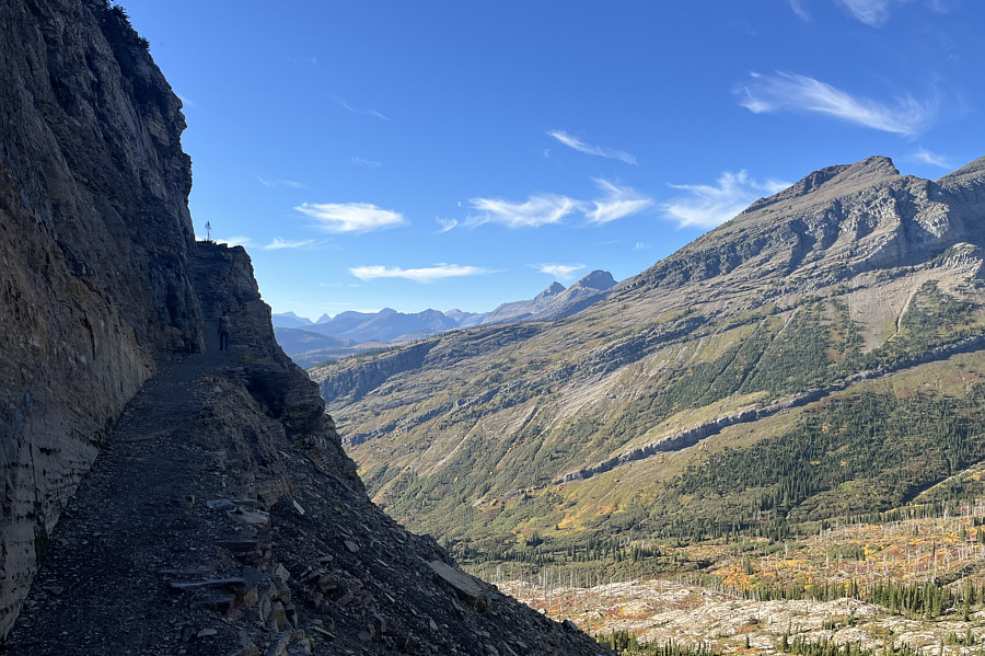 |
Zosia hikes back the same way she came along Highline Trail. |
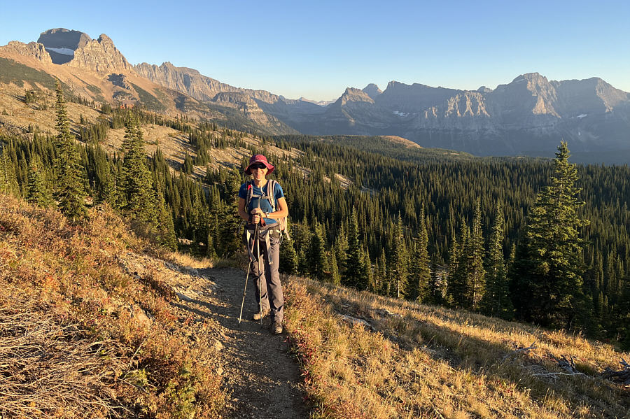 |
Zosia stops to admire the views across Granite Park late in the day. |
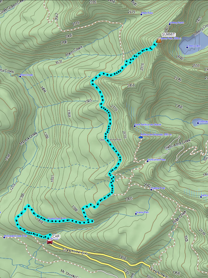 |
Total Distance: 26.8 kilometres Round-Trip Time: 14 hours 57 minutes Cumulative Elevation Gain: 1736 metres |