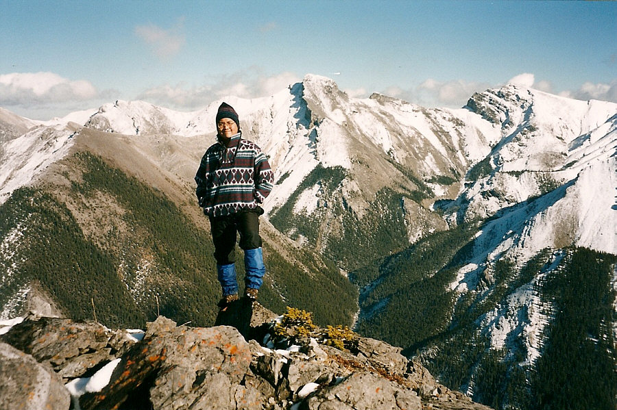
Photo courtesy of Zosia Zgolak
|
|
Sonny stands on the highest point of Wasootch Ridge on 18 October 1997. Behind him to the east is Tiara Peak. |
|
|
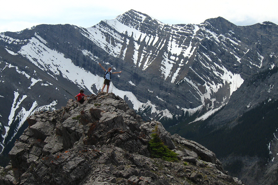
Zosia
stands on the highest point of Wasootch
Ridge on 14 June 2009. Behind her to the south is Mount
McDougall. Photo courtesy of Zosia Zgolak |
|
|
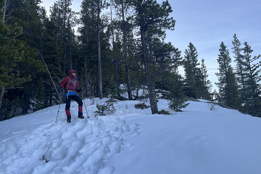
On 16 March 2024, Zosia ascends the snowy northwestern terminus of Wasootch Ridge. |
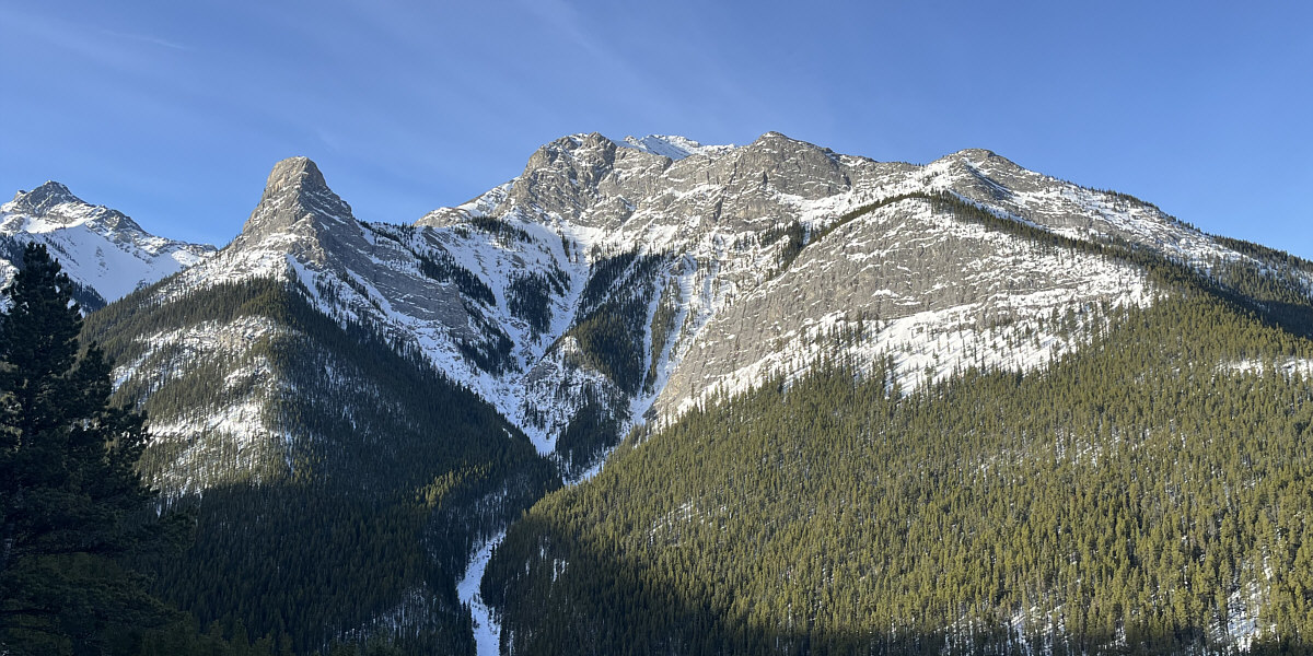
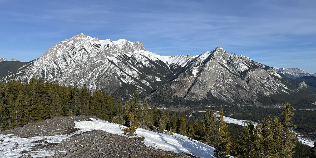
Early in the hike, there are already good views of Wasootch Tower (left) and Wasootch Peak (G8 Summits).
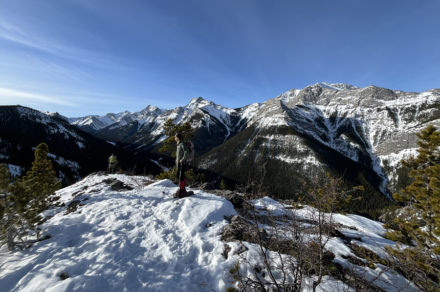 |
At this viewpoint overlooking Wasootch Creek, Zosia watches a couple of hikers absentmindedly descending a spur ridge. They would soon realize their error and head in the right direction (out of the photo to the left). |
One of the first openings on the ridge grants this view to the northwest of Mount Lorette (left) and Mary Barclay's Mountain (right).
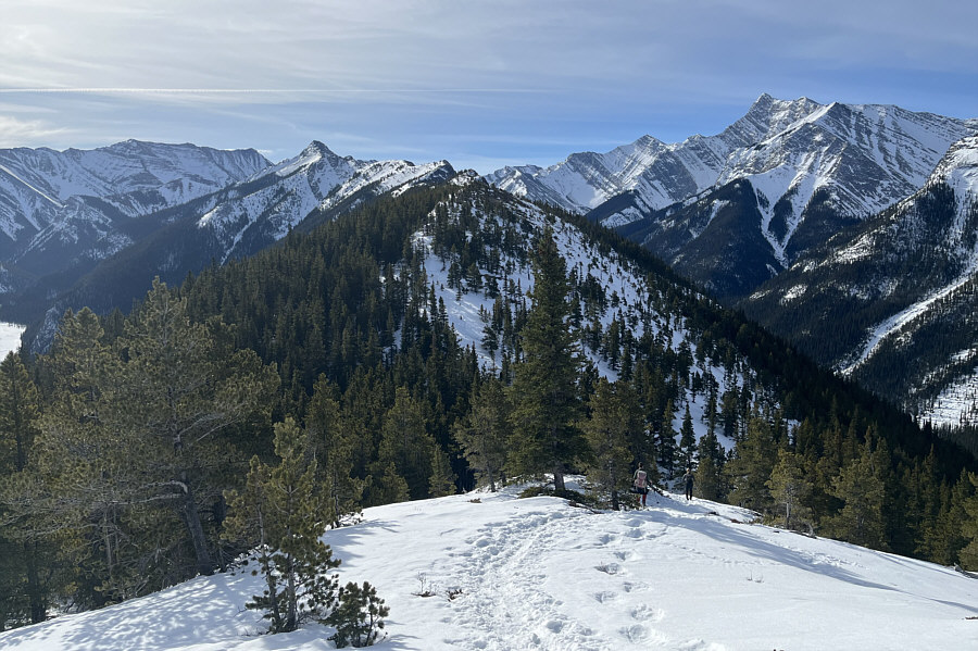 |
Zosia follows another hiker down probably the biggest dip along Wasootch Ridge. The highest point of the ridge is visible at distant left. |
 |
Some parts of the ridge are already dry. |
 |
The two high points here are the end of the line for most hikers on this day. |
 |
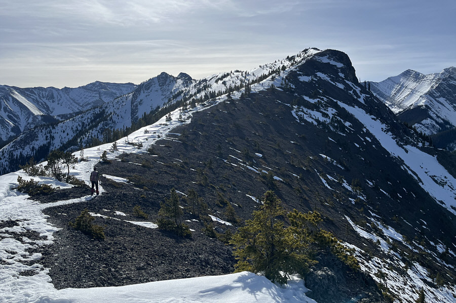
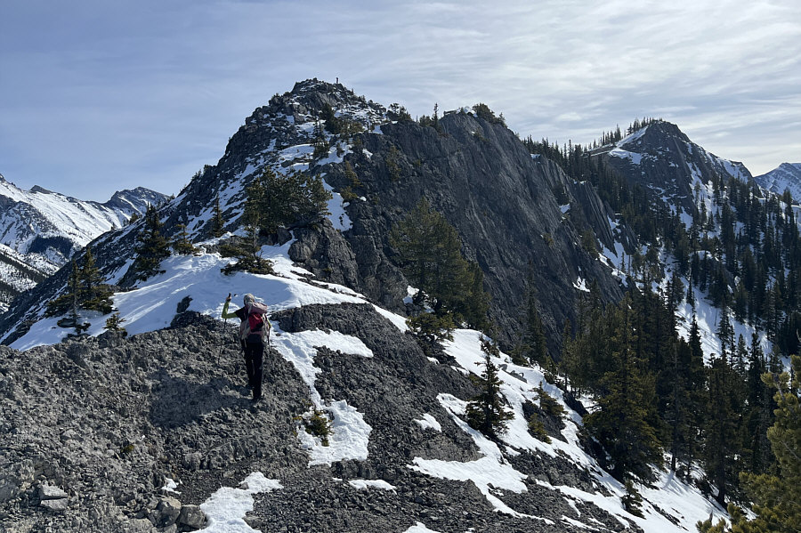
After tagging the first high point, Zosia makes her way to the second high point (right of centre). The highest point of Wasootch Ridge stands out at left. |
 |
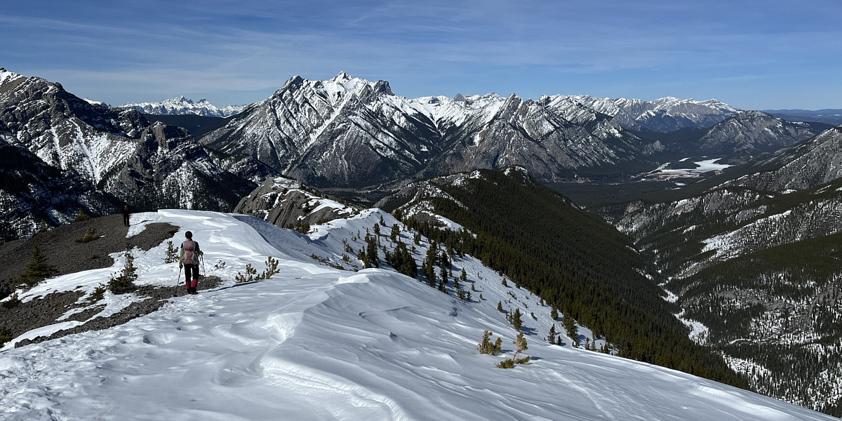
On this day, Zosia and Sonny are content to turn around at the second high point (2159 metres). |
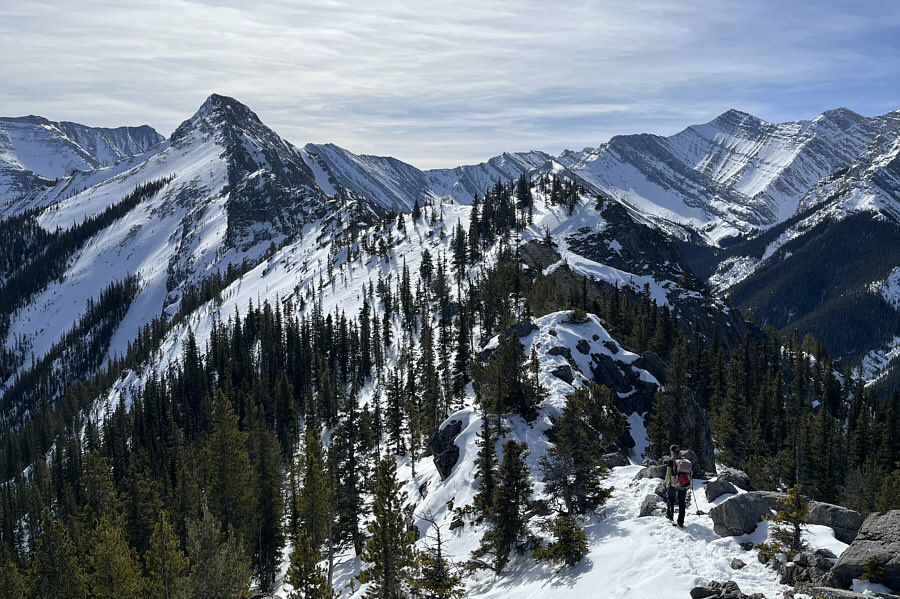
As seen here from the second high point, the usual route to the highest point of Wasootch Peak bypasses the increasingly technical ridge crest by traversing below the slabs just ahead.
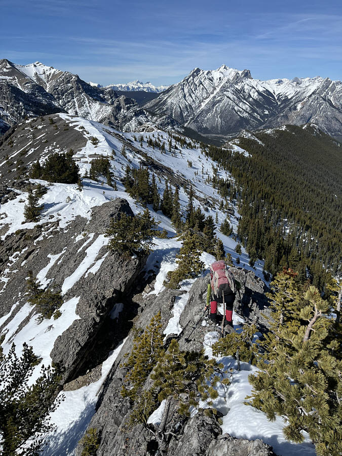 |
On the return trip, Zosia carefully makes her way across a narrow and mildly exposed section of ridge. |
The hike back down the ridge is long but very scenic.
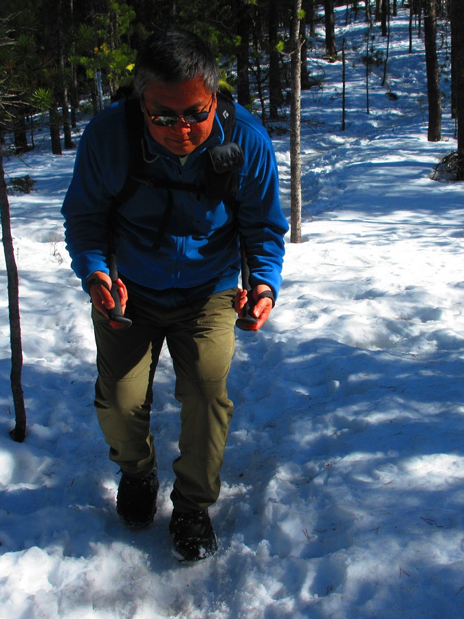 |
Sonny feels like he is skiing down the
slippery trail. Photo courtesy of Zosia Zgolak |
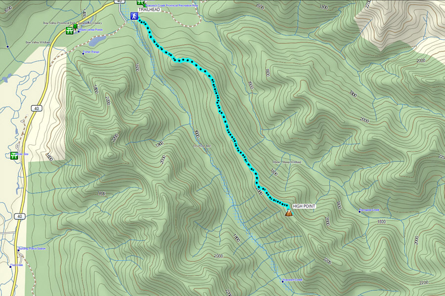 |
Total
Distance: 12.0 kilometres* Round-Trip Time: 7 hours 53 minutes* Cumulative Elevation Gain: 698 metres* * Trip data is only for the subsidiary high point (not the highest point). |