|
|
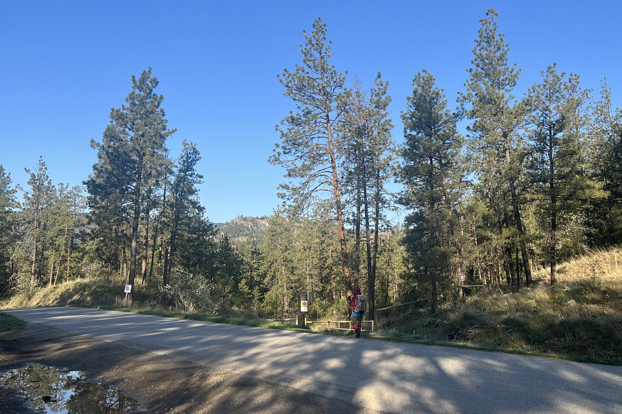
Zosia crosses Green Lake Road to the start of White Lake Trail East. |
|
|
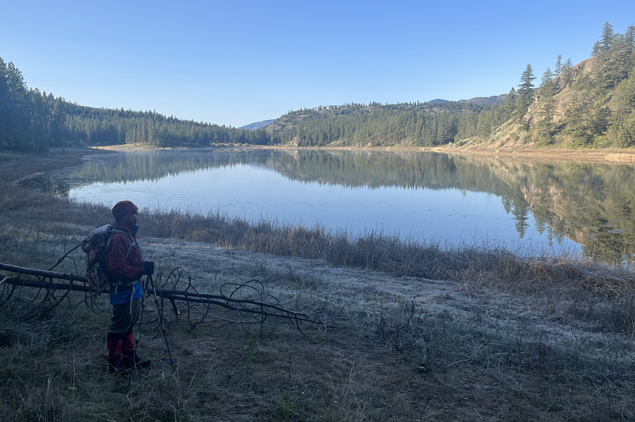
Zosia pauses to reflect on the beauty of Mahoney Lake. |
|
|
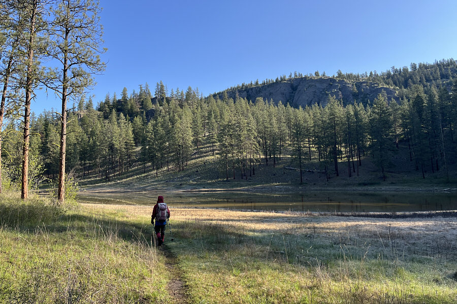
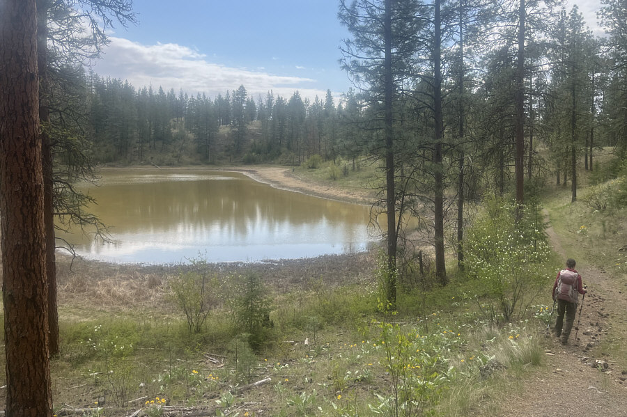
Zosia passes a small unnamed tarn. |
|
|
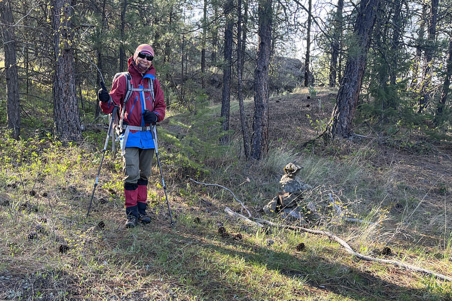
This cairn marks an important turnoff to a second trail that leads to the top of Mount Hawthorne. |
|
|
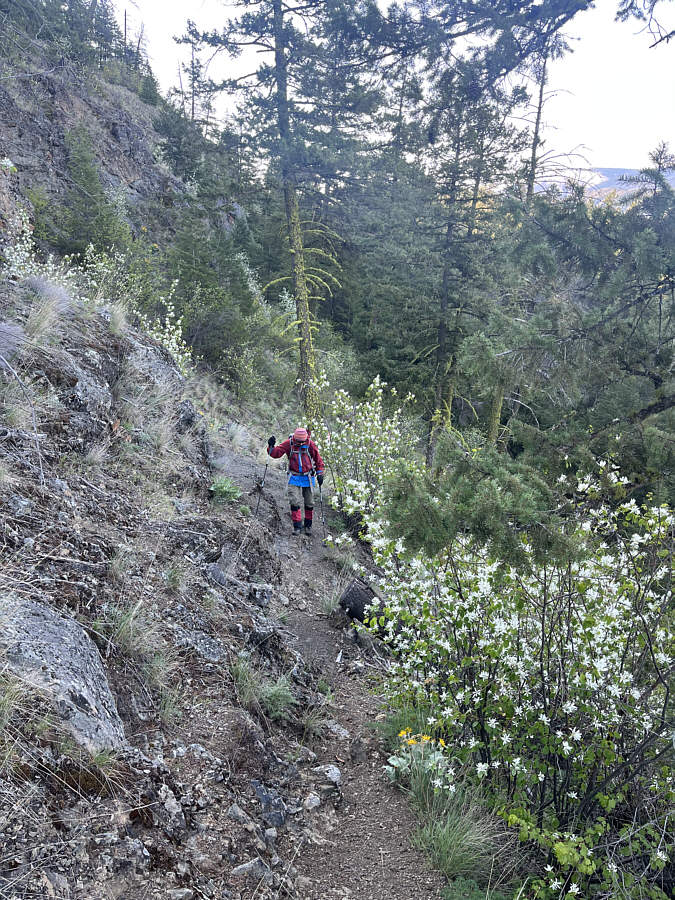
The second trail traverses a fairly steep slope with occasional cliff bands. |
|
|
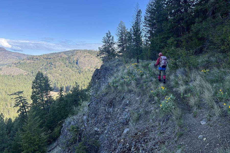
Balsamroots help brighten up the trail. |
|
|
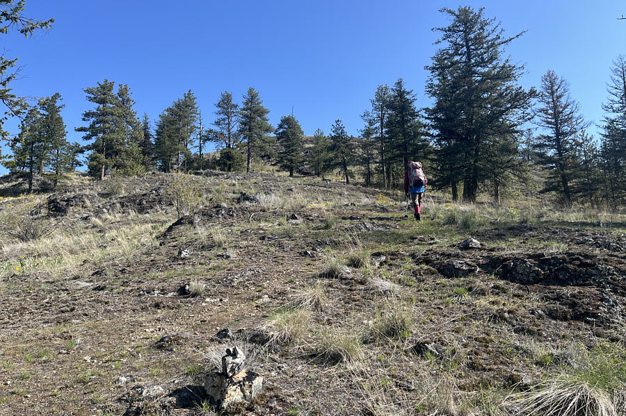
The forest begins to thin out as Zosia ascends the final slope before the summit. |
|
|
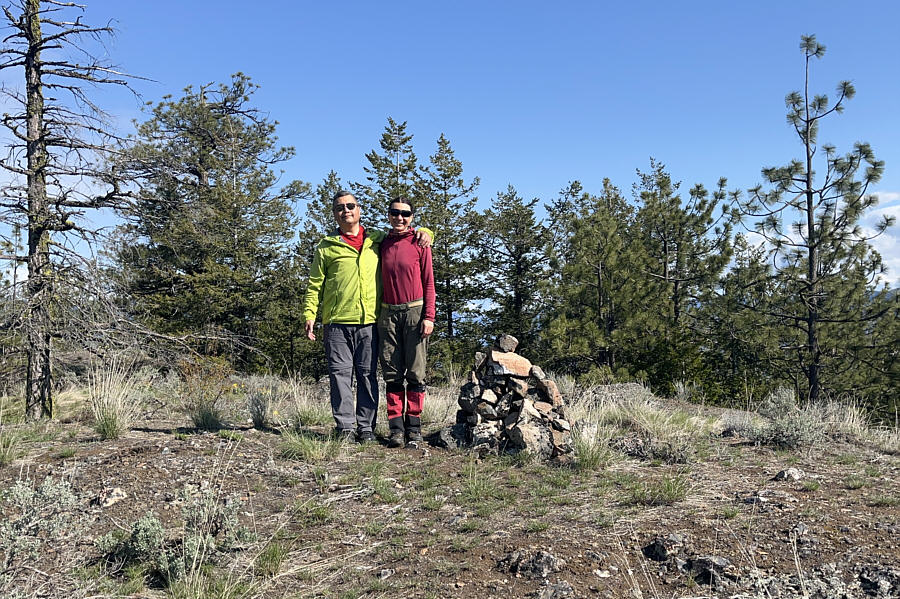
Sonny and Zosia stand on the summit of Mount Hawthorne (919 metres). |
|
|
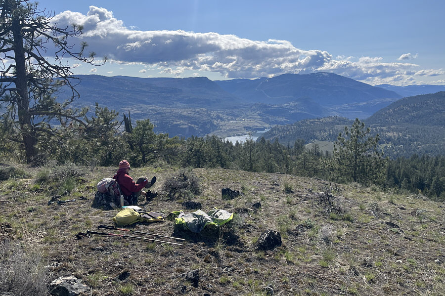
Zosia takes a break a short distance south of the summit. Part of Vaseux Lake can be seen in the valley. |
|
|
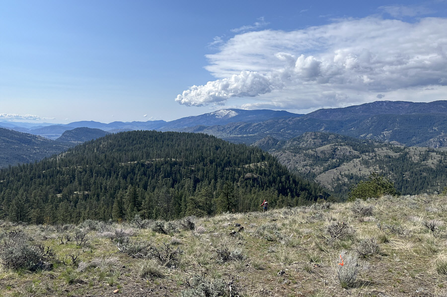
Zosia descends from the top of Mount Hawthorne. Visible on the far right horizon is Orofino Mountain. |
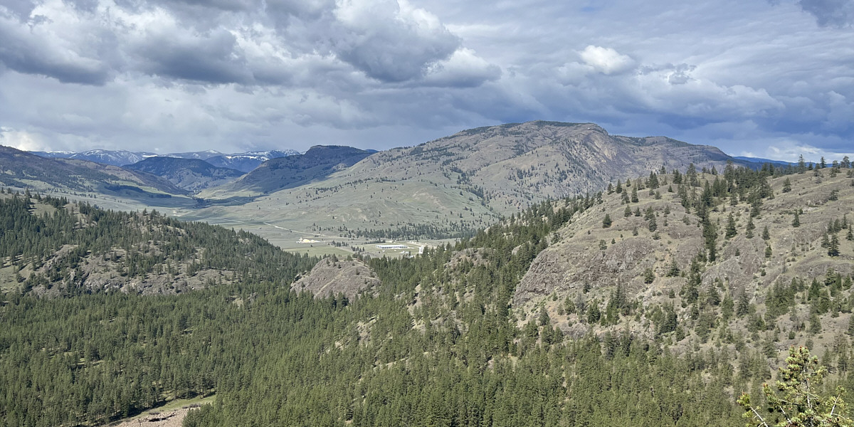
Visible to the west at the foot of Mount Parker is Dominion Radio Astrophysical Observatory (centre).
 |
Zosia again passes the small unnamed tarn on her way out. |
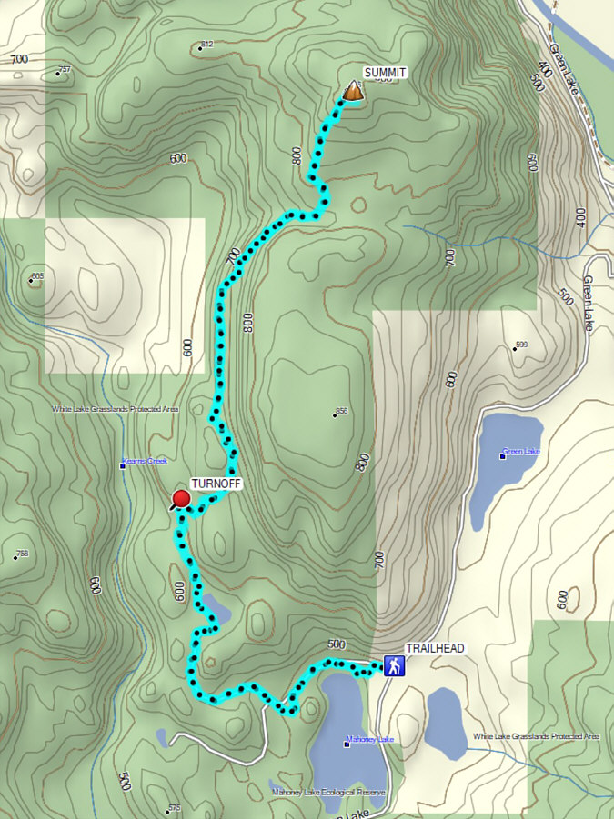 |
Total Distance: 11.1 kilometres Round-Trip Time: 4 hours 50 minutes Cumulative Elevation Gain: 442 metres |