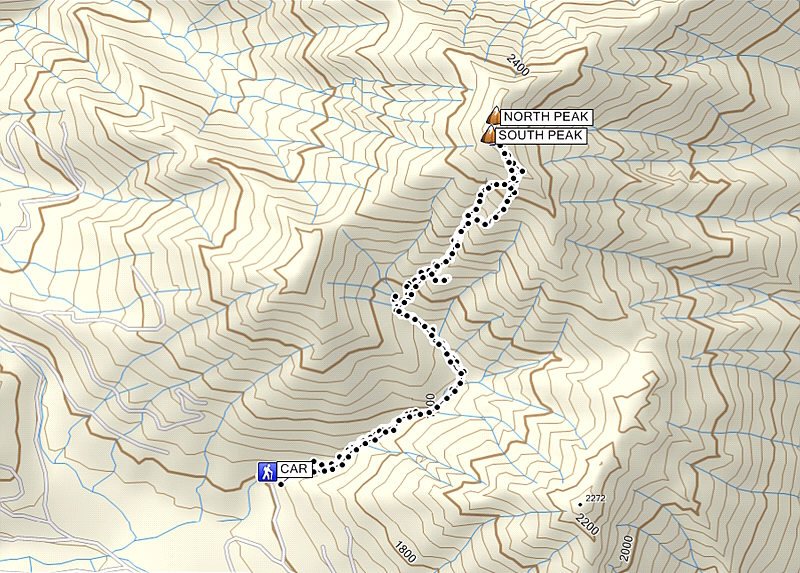
Total Distance: 7.1 kilometres
Round-Trip Time: 6 hours 22 minutes
Total Elevation Gain: 892 metres
|
|
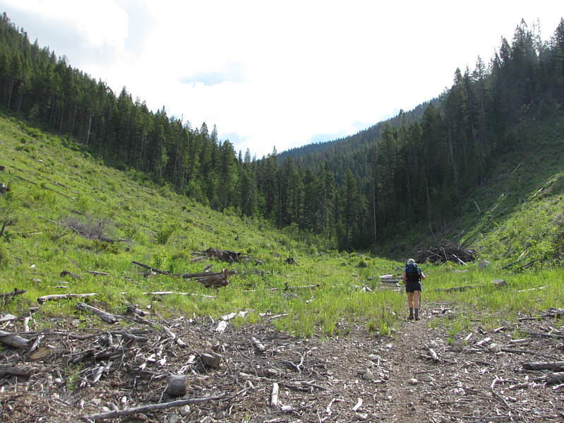
Kelly hikes through a cut block at the start. |
|
|
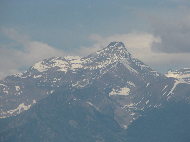
Not far from the trailhead, there is already a nice view of Mount Nelson. |
|
|
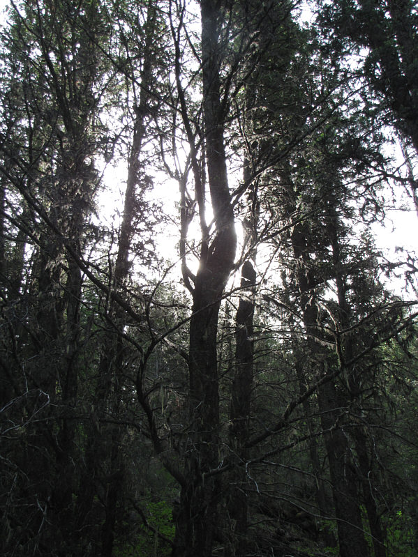
Sunlight filters down through the trees in the forest. |
|
|
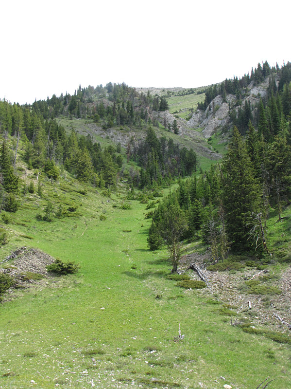
This is the third obvious gully (C&G's "grassy draw"). Note the trail on the left edge of the grass. |
|
|
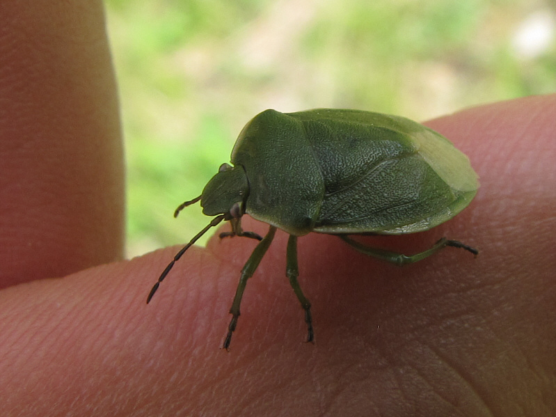
Sonny finds a Green Shield Bug (Palomena prasina). |
|
|
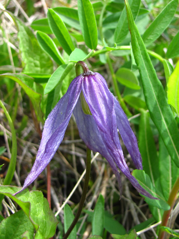
There are lots of wildflowers in the gully such as this clematis. |
|
|
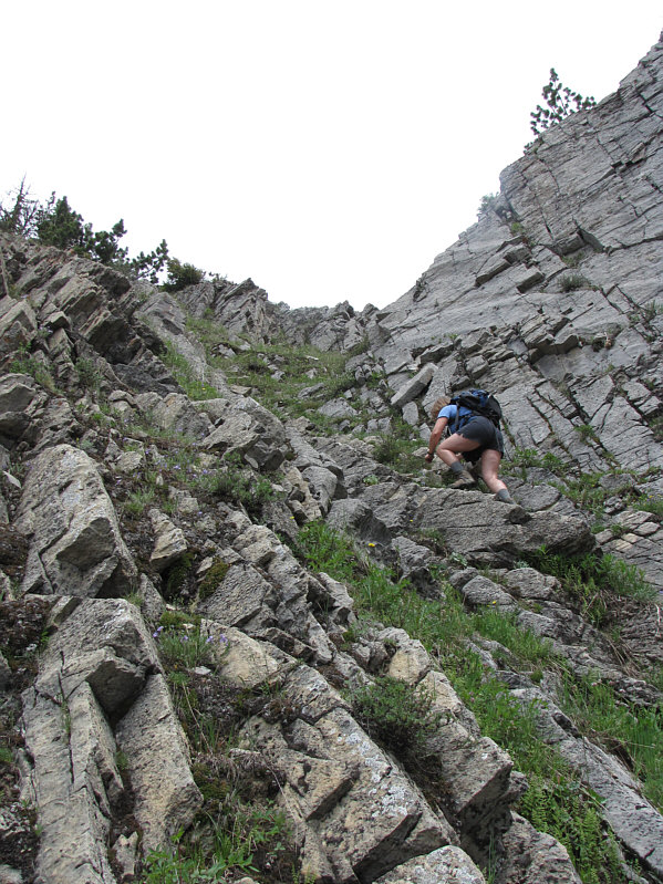
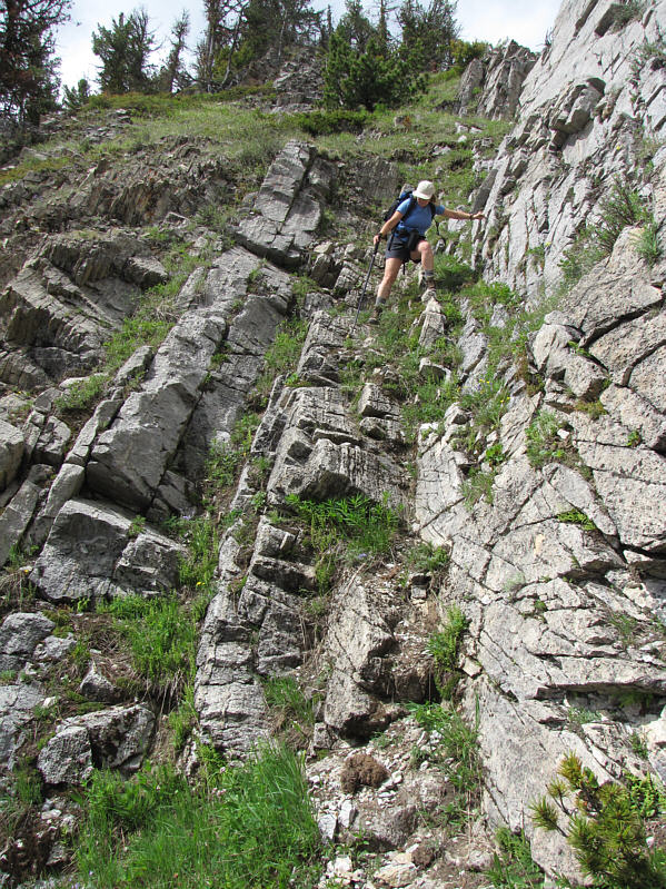
The narrower parts of the gully require some hands-on scrambling. |
|
|
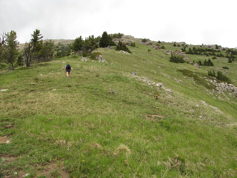
Higher up, Kelly gains the broad slope below the summit ridge. |
|
|
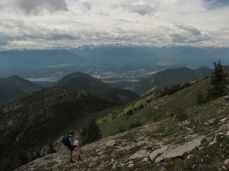
Kelly pauses to admire the view of Invermere and the Columbia River Valley. |
|
|
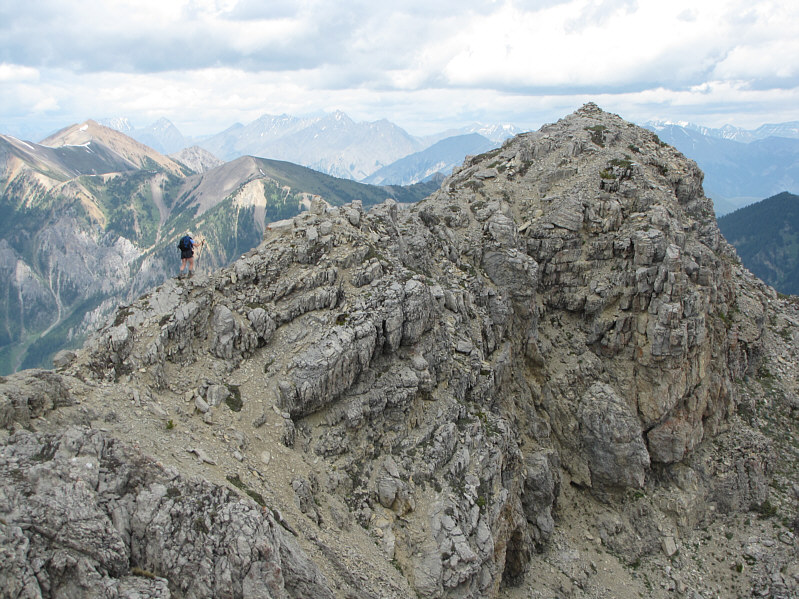
Kelly hikes along the summit ridge. |
|
|
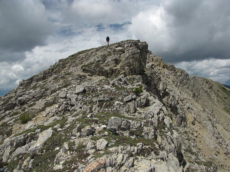
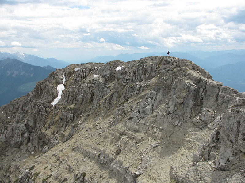
The summit ridge narrows just before the north peak. |
|
|
Kelly reaches the north peak of Pinto Mountain (2547 metres). |
|
|
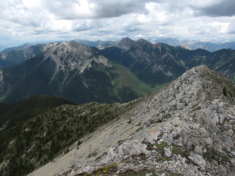
Here is the view to the north. |
|
|
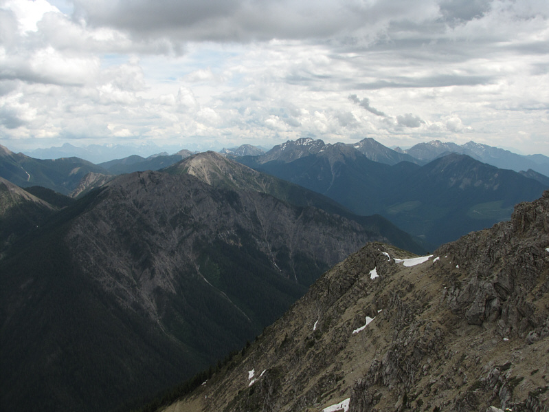
Here is the view to the south. Mount Bryan is the peak in the foreground at left. On the horizon at right is Indian Head Mountain. |
|
|
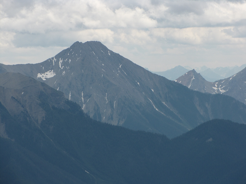
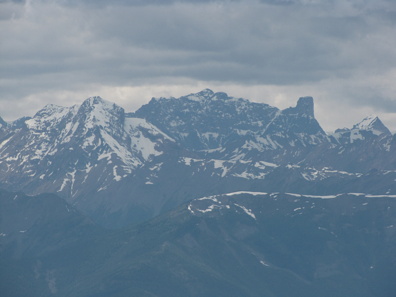
This is a closer look at Indian Head Mountain. |
|
|
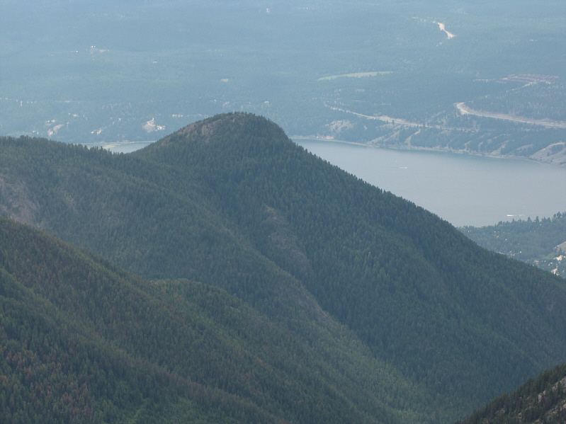
Lowly Swansea Mountain can be seen to the southwest. |
|
|
On the western horizon are Mount Farnham (centre) and Farnham Tower (right). |
|
|
Kelly hikes back over the south peak of Pinto Mountain. |
|
|
Kelly down-climbs a minor rock band in the gully. |
|
|
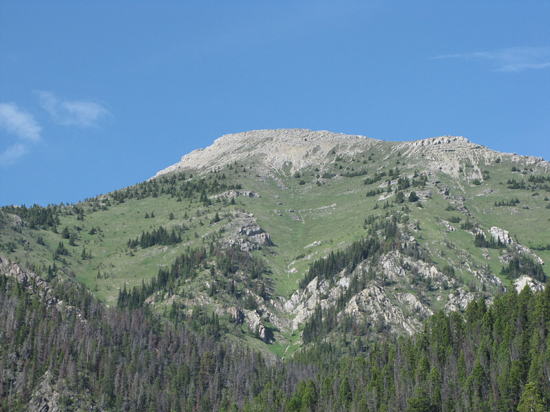
Here is one last look at Pinto Mountain from the forestry service road. |
|
|
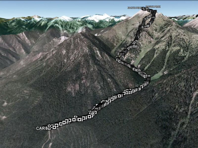
This is the route as viewed in Google Earth. |
|
|
Total Distance: 7.1 kilometres |