BOU AVENUE
Hailstone Butte South
On 19 September 2015, I headed out with Dinah Kruze, Aga Sokolowska, Bob Spirko, and Marta Wojnarowska to do a scramble in the Oldman River area of southwestern Alberta.  Unfortunately, I got an inexplicable flat tire after driving over the Hump along Highway 532.  Rather than risk driving deeper into the mountains on a spare tire, we salvaged our day with an ascent of nearby Hailstone Butte even though all of us except for Aga had previously climbed it.  Unlike my ascent in 2013, the route on this day was completely snow-free, and we had no problems following a good trail to the base of the big cliffs below the summit lookout.  As we skirted to climber's left of the cliffs, a rock seemingly flew out of nowhere and struck Dinah in her torso.  She staggered momentarily but managed to keep her balance.  Luckily, she was not seriously injured, but the mishap shook us all.  We cautiously climbed upwards until we gained the broad summit ridge.  The lookout was still manned on this day, and respecting a nearby sign prohibiting visitors, we stopped short of the summit.  Instead, we extended the hike by heading toward the next high point to the south.  A gusty wind buffeted us all along the ridge, and we were thankful to find some shelter on the lee side of a building on the next high point.  It is worth noting that this high point, which I dub "Hailstone Butte South", is actually higher than the gazetted summit at the lookout building.  We continued to a lower high point further south and considered dropping all the way down to Highway 532, but the thought of hiking back up the road to the Hump was not particularly appealing.  Instead, we stopped for a break in the shelter of some trees before retracing our steps back over Hailstone Butte South.  Partway across the connecting ridge to the lookout, we found a reasonable spot to scramble down the cliffs, and we then worked our way back to the draw where we started.

This short excursion hardly justified the lengthy drive (or the expense of replacing my flat tire), but I still enjoyed the outing, especially in the company of some of my favourite fellow peak-baggers.  Be sure to check out Bob's trip report.
Nice to start more or less above tree line! 
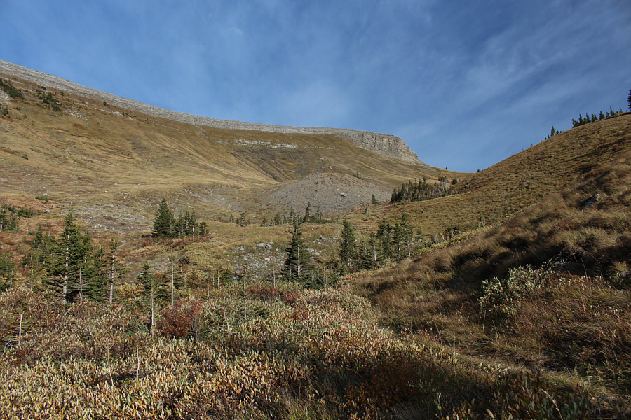
Hailstone Butte is straight ahead in this view from the approach trail.
I wonder what Marta is discussing at the moment... 
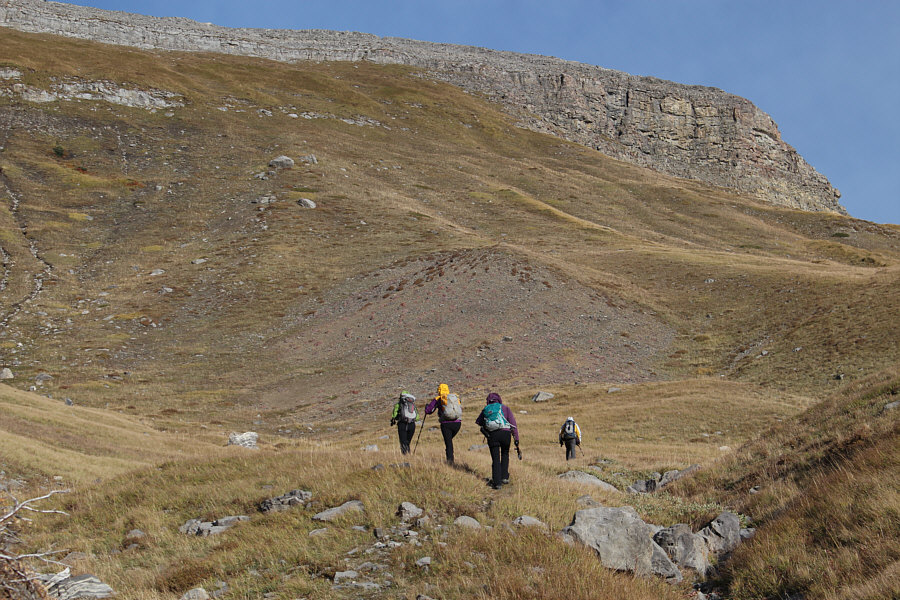
The trail leads to the base of the big cliffs at right.
Purple appears to be a favourite colour among the women! 
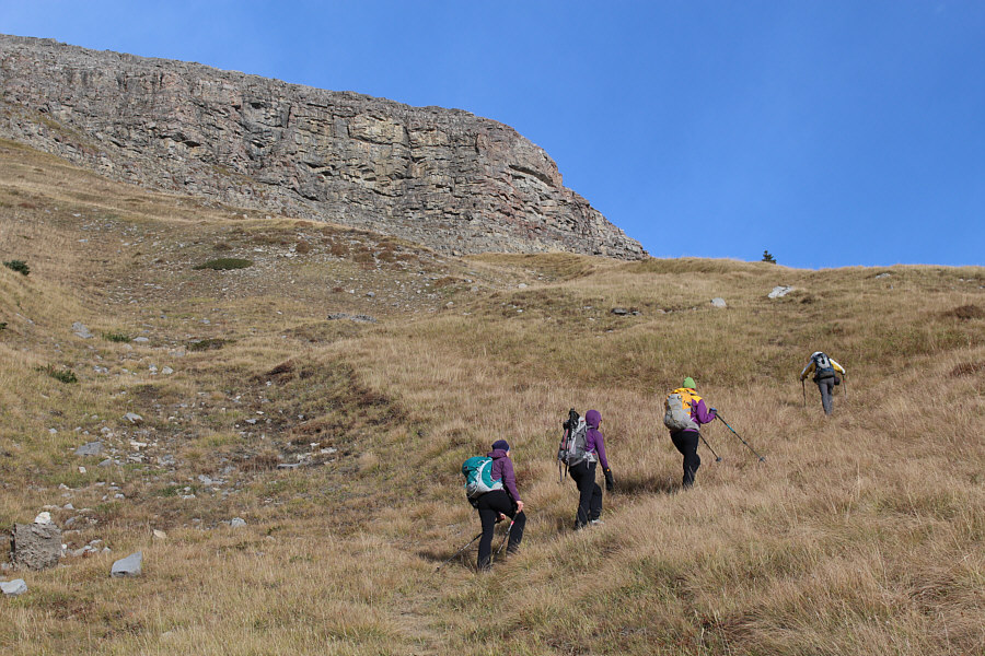
The group approaches the base of the big cliffs.
Aga is always happy when she is in the mountains. 
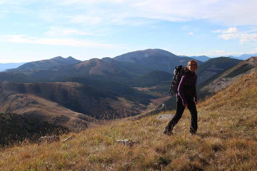
Visible in the distance behind Aga are (L to R) Saddle Mountain, Windy Peak, Mount Hornecker and Mount Livingston.
Dinah (out of view to the right) was struck by a rock moments after this photo was taken. 
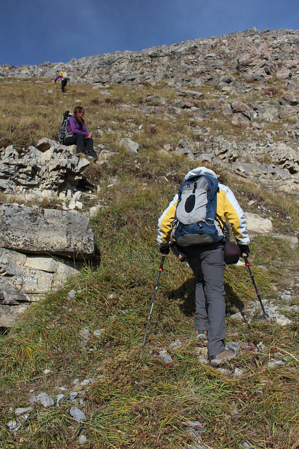
Bob follows the beaten path upward as Aga sits down for a rest.  Further up is Marta.
Despite strong winds on this day, we were comfortably sheltered on this lee slope. 
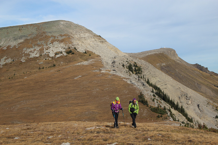
Hailstone Butte South is visible in the distance as the group makes their way up the slope.
Dinah appears to have recovered from her wallop. 
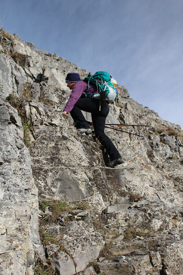
Dinah scrambles up the band of rocks guarding the ridge top.
Not everyone heeds the sign... 
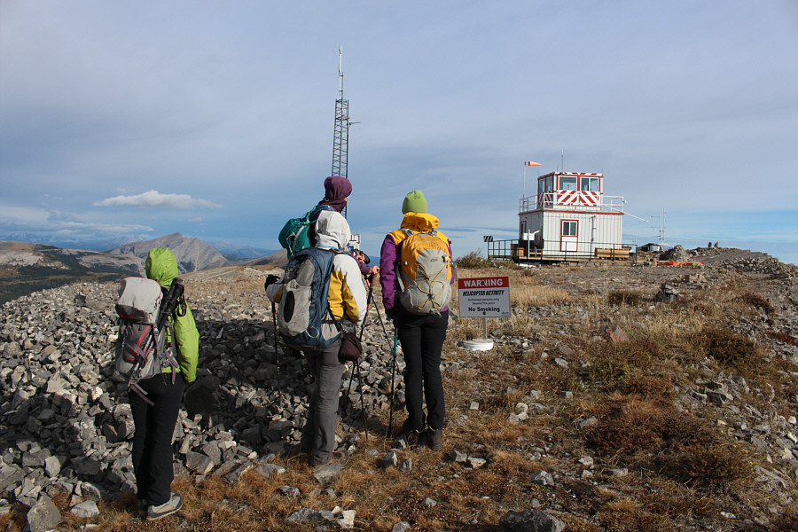
The small print on the sign says, "Authorized persons only beyond this point".
It's bloody windy up here! Marta, Dinah and Aga walk toward Hailstone Butte South.
That means so much on so many different levels! 
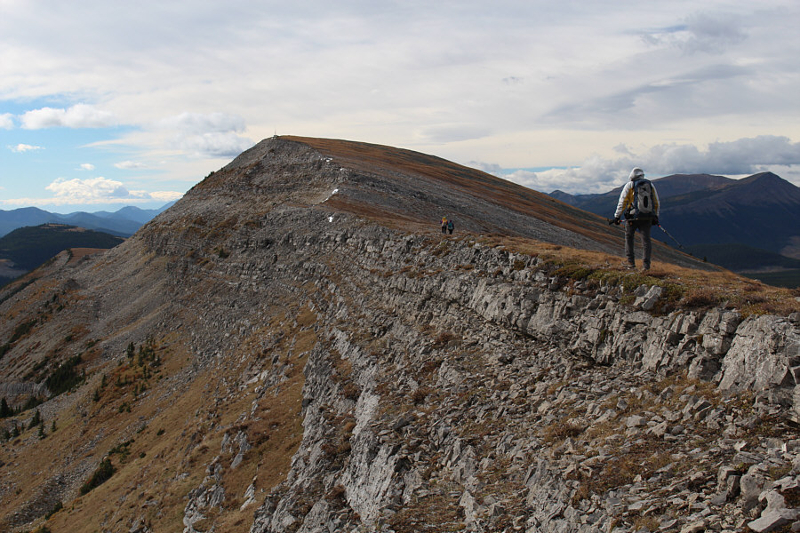
Bob follows the women.
Yah! 
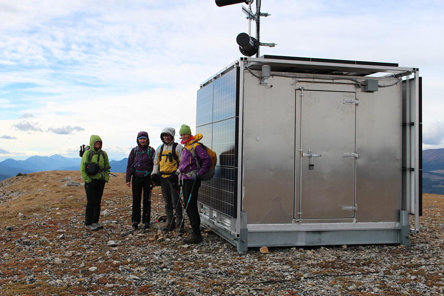
On the 2385-metre summit of Hailstone Butte South, the group takes shelter from the wind behind a building covered with solar panels.
Most boring mountain picture ever? 
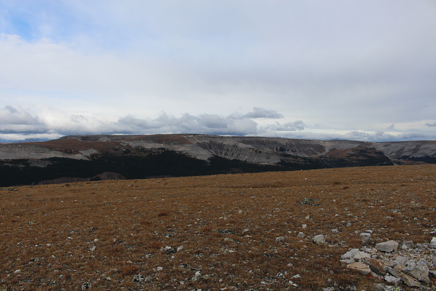
Plateau Mountain sits to the west.
A great place to wander during the winter or shoulder season. 
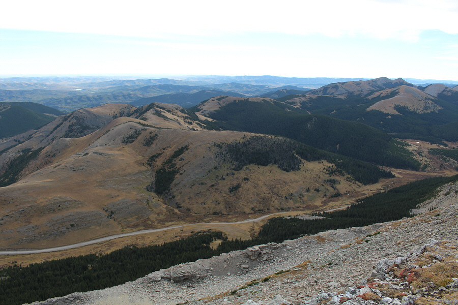
To the east are the Windy Peak Hills.
I didn't even know the pond had a name until Daffern's latest guidebook came out! 
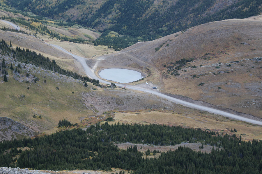
Sonny's car is visible beside Teardrop Pond at the Hump.
Niezależnie od pogody, samice polscy wspinacze są zawsze gorąco! 
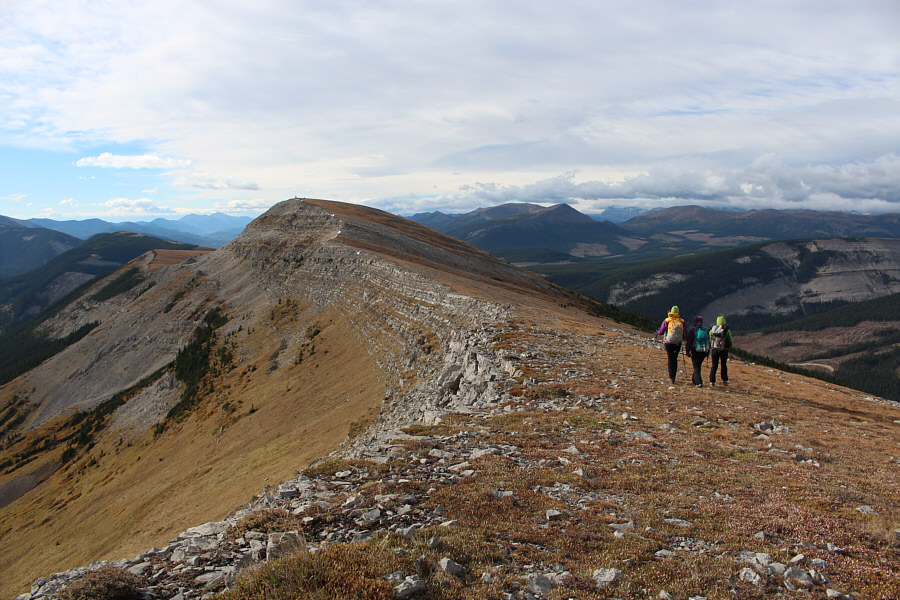
Marta and Aga casually stroll along the south ridge of Hailstone Butte.
So if you think you've bagged the summit of Hailstone Butte by just going to the lookout, think again! 
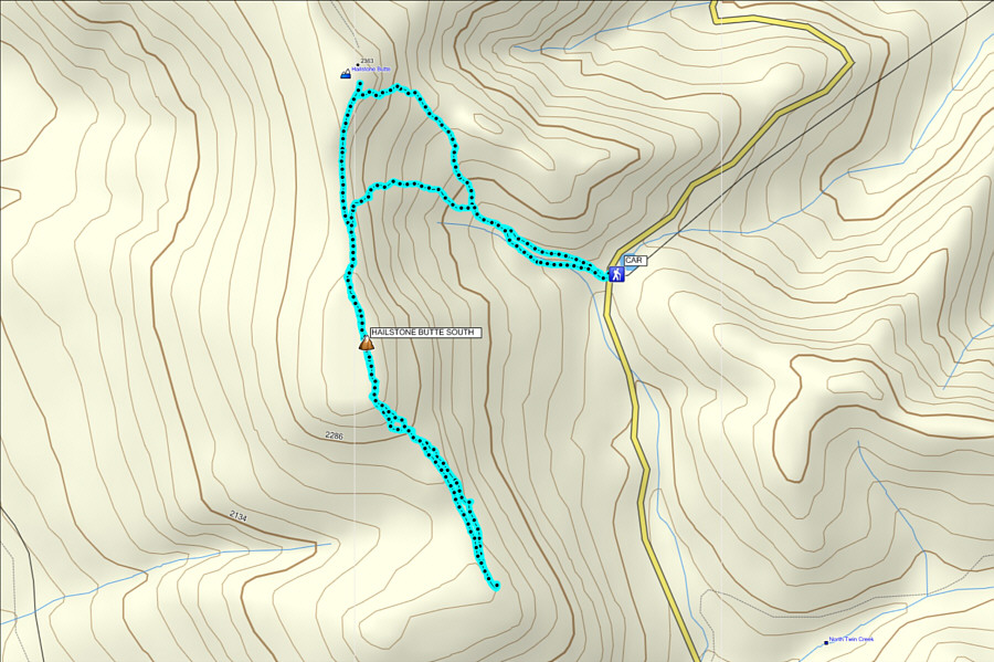
Total Distance:  7.2 kilometres
Round-Trip Time:  4 hours 19 minutes
Net Elevation Gain:  367 metres

GPX Data