
Photo courtesy of Gil Molina
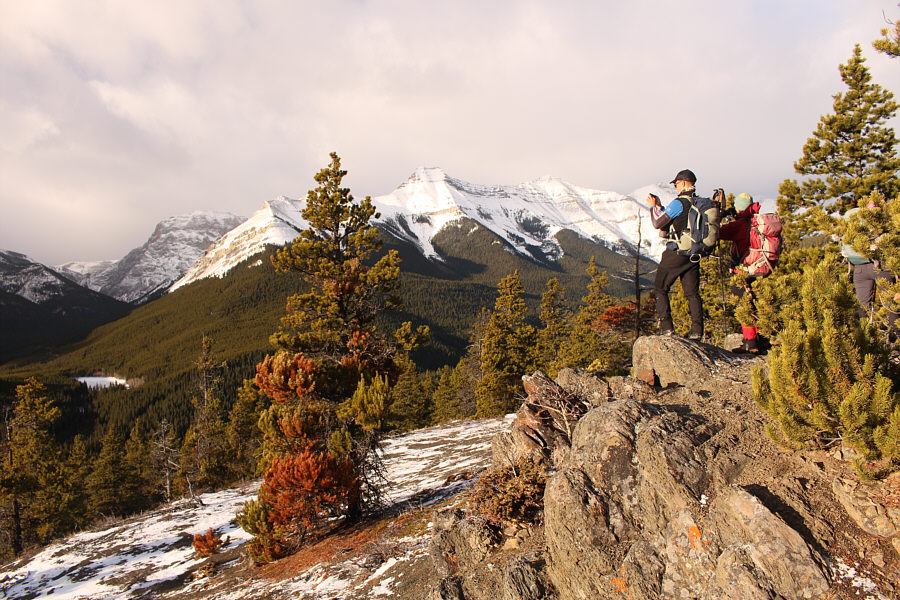
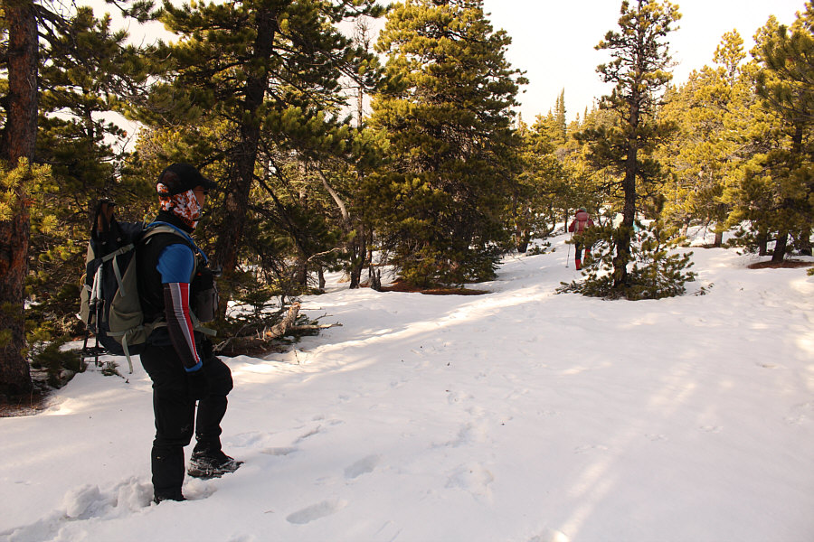
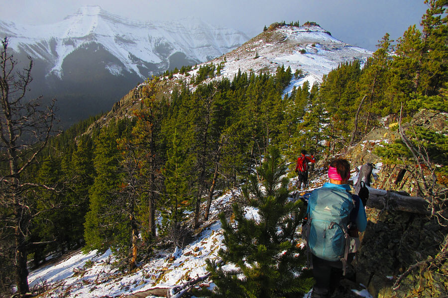
Photo courtesy of Zosia Zgolak

|
|
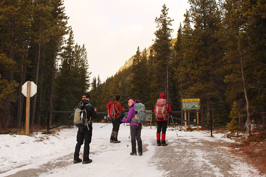
The group enters Bluerock Campground which is closed for the season. |
|
|
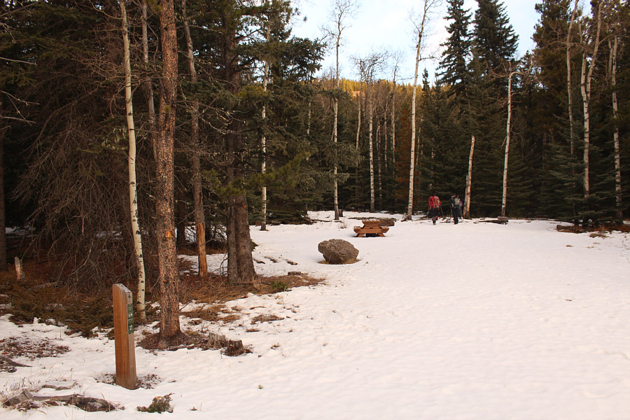
The group passes through campsite #17 and heads into the forest. |
|
|
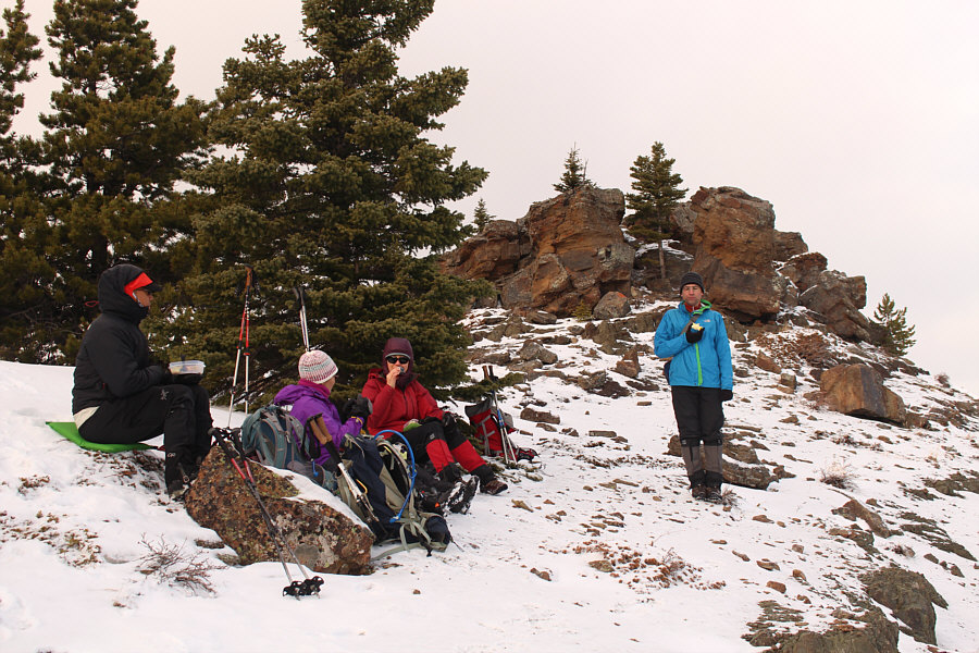
The group takes a break on an open
slope after a stiff climb. Photo courtesy of Gil Molina |
|
|
A break in the trees along the ridge allows everyone to take photographs of the many eastern outliers of Mount Burns. |
|
|
Gil encounters ankle-deep snow on the ridge. |
|
|
Bluerock Knob finally comes into view. Photo courtesy of Zosia Zgolak |
|
|
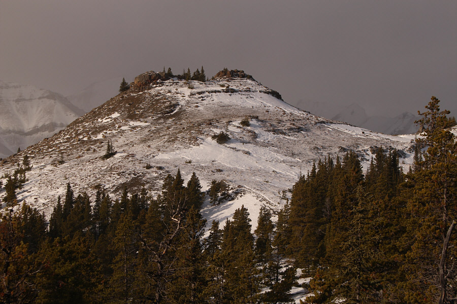
Here is a closer look at Bluerock Knob. |
|
|
Gil hikes up the last stretch before the top. |
Sonny, Zosia, Ali, Gail and Gil stand on the high point of Bluerock Knob (2010 metres).
 |
To the south is Shunga-la-she. |
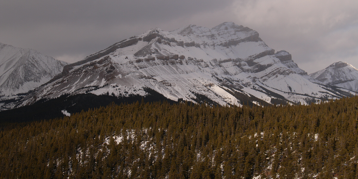
Bluerock Mountain dominates the view to the northwest.
 |
Mount Ware (left) and Volcano Ridge are both visible to the north. |
 |
The group enjoys lunch out of the wind just below the summit rocks. |
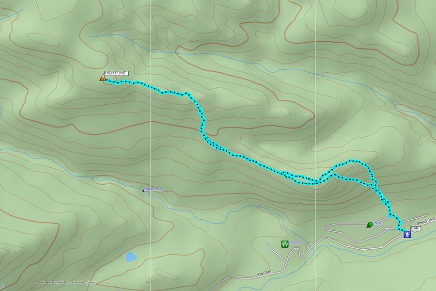 |
Total
Distance: 7.1 kilometres Round-Trip Time: 4 hour 25 minutes Net Elevation Gain: 422 metres |