BOU AVENUE
Donaldson Peak And Mount Church

On the eve of the Great American Eclipse of 2017, I found myself once again in the Lost River Range of central Idaho.  Keen to bag some more Idaho 12,000ers (I have already done 4 of 9), I set my sights on Donaldson Peak and Mount Church which are usually climbed together since they both share the same approach.  The route is described in Tom Lopez's Idaho: A Climbing Guide, but on his website, he offers an alternate approach which apparently has proven to be more popular.

On 20 August 2017, I turned northeast off of US Highway 93 onto Lone Cedar Creek Road (about 69 kilometres south of Challis or 17 kilometres north of Mackay) and drove for 2.3 kilometres to a junction just before the entrance to the road's namesake ranch.  Turning right, I followed this rougher road (2WD okay but high clearance recommended) for another 2.7 kilometres to the unsigned trailhead.

From the trailhead, I hiked a well-defined trail leading into the drainage for the north fork of Jones Creek.  Despite a plethora of cairns, it is surprisingly easy to lose the trail in the lower reaches of the drainage which is partially choked with deadfall in a few places.  Somehow, I wandered onto a spur trail which climbs high to circumvent some canyon-like features in the drainage, but this spur trail peters out at a certain point.  As a result, I ended up back in the bottom of the creek bed where I rediscovered the main trail.
It looks flat here, but you're already gaining elevation on this trail! A good approach trail heads up the north fork of Jones Creek.
Try not to climb too high up the sides of the valley. 
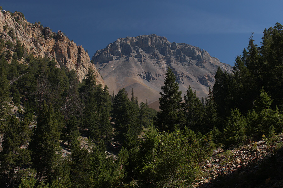
Mount Church is visible relatively early in the proceedings.
I eventually entered a large amphitheatre where I began grinding up vast scree slopes south of Mount Church.  The rubble was generally not bad for climbing, and as I gained elevation, I even began to find some beaten paths to follow.  A short but surmountable headwall guards a small tarn tucked in the upper basin between Donaldson Peak and Mount Church.  When I arrived at the tarn, I met a solo hiker who was bivouacking there for the night.  He planned to resume climbing the next morning in hopes of catching the total solar eclipse from the summit of Donaldson Peak.  I had similar aspirations for the next day but for another peak further south and closer to the path of maximum totality.
Oh boy! Look at all that scree up ahead! 
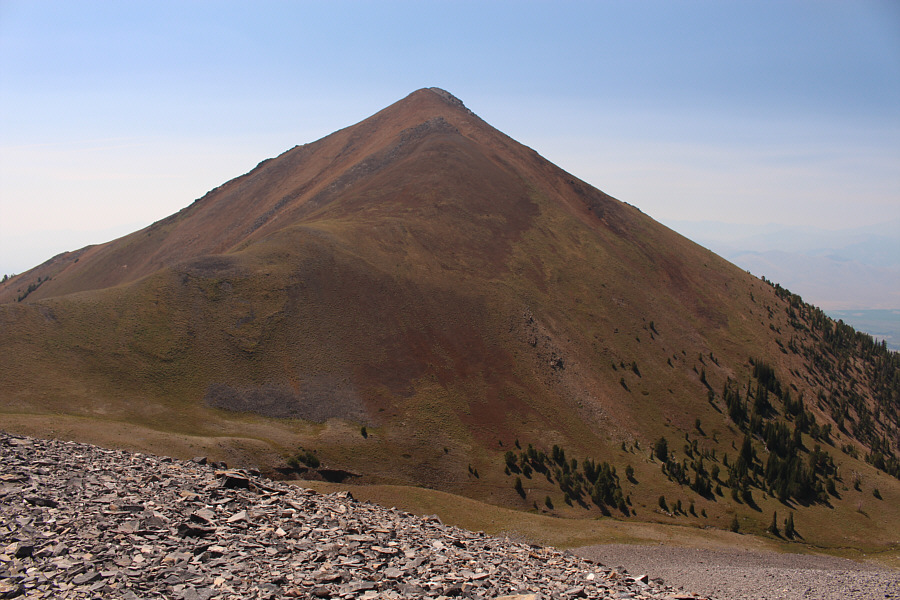
Donaldson Peak (right) comes into view near the head of the valley.
Might be a femur for a hobbit? 
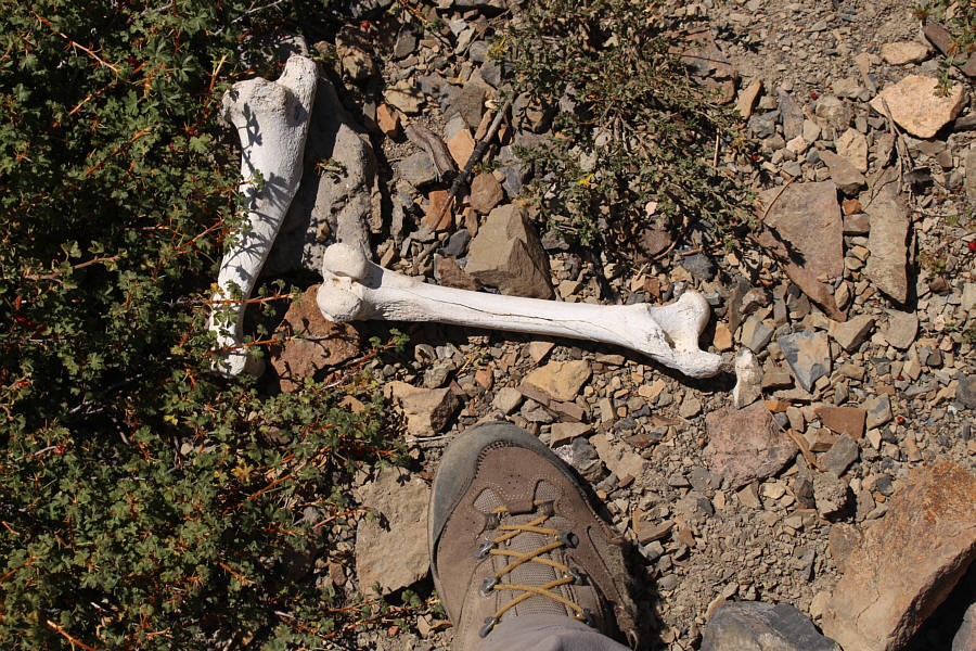
Some bleached bones attest to the dangers of long approaches up creeks.
Actually, the rubble was pretty stable here and not bad to climb up. 
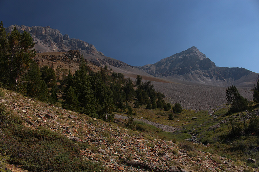
There is a lot of rubble to ascend when climbing Donaldson Peak and Mount Church.
It might make for a nice evening hike if you're camping in the area! This unnamed peak south of Mount Church sits between the two forks of Jones Creek.  Some parties camp near the trees at bottom right.
A spring at the pour-over is a good place to refill water bottles. A short headwall is breached near the pour-over at left.

That green colour is from algae. Get your water from the spring further down or bring a filtration device.

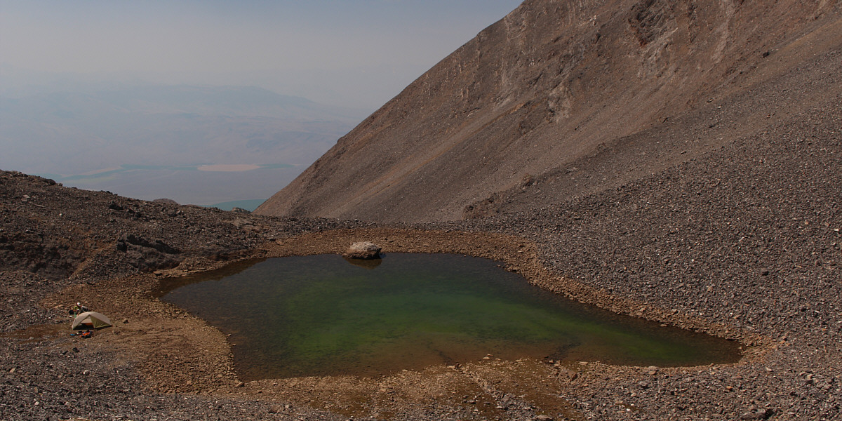
A tarn in the upper basin makes for a nice bivy site.


Leaving the solo hiker and the tarn behind, I next tackled a 300-metre high headwall leading to the col between Donaldson Peak and Mount Church (this "col" is not the actual low point of the connecting ridge between the two peaks, but it is nevertheless the common point of access for both peaks).  Following a beaten path, I went straight up treadmill rubble to the base of some big cliffs which can be circumvented to climber's right on a ramp.  The terrain above the ramp is both steep and loose, and I found it easier to climb more solid slabs where possible.  Although it was tempting to keep scrambling directly upward from the ramp to the top of Donaldson Peak, I opted to work my way back toward the original line of ascent above the cliffs.  Upon reaching the col, I turned right and easily hiked up to the summit of Donaldson Peak in about 10 minutes.
This part of the trip is literally a grind! 
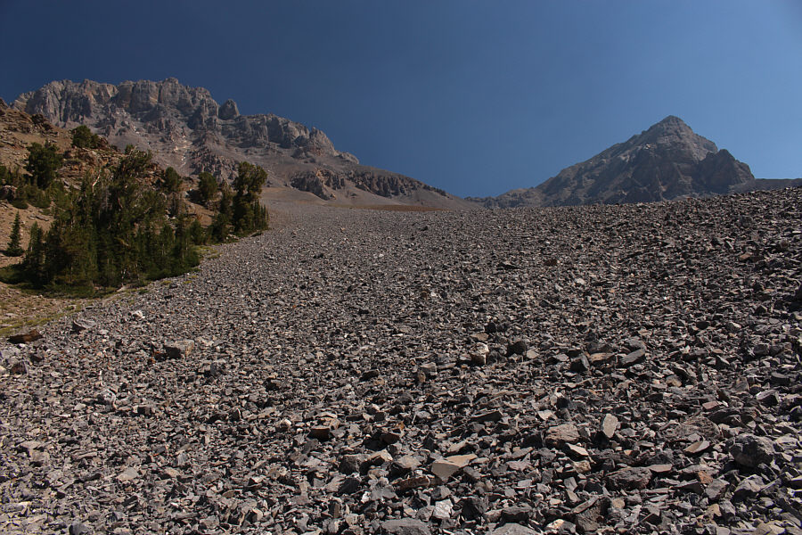
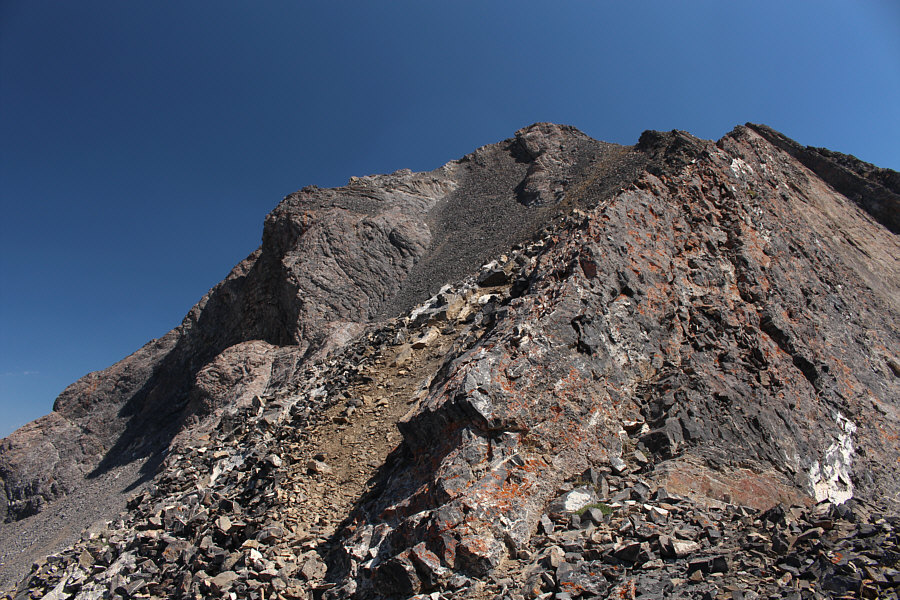
There is more rubble above the tarn, but the slope is steeper here.  At the base of the big cliffs ahead, the route heads out of view to the right.
It's hard to see, but there are other scramblers on the ridge right now. Here is the southeast face of Mount Church.  The true summit is not visible here.
Feels like I'm back in the Canadian Rockies! The upper part of the headwall is full of loose rocks.
Too bad it wasn't a McDonald's golden arch 'cause I could have used a large cold drink at this point! 
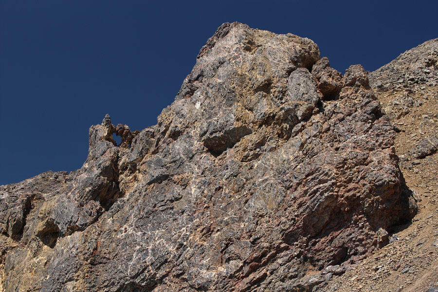
A natural arch can be seen near the col (upper right) between Donaldson Peak and Mount Church.
I think it's better to do Donaldson first. You're not gonna feel like climbing this after bagging Church! From the col, Donaldson Peak's summit is only about 70 metres higher.
My 5th Idaho 12,000er! 
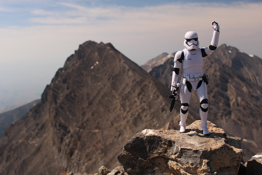
Sonny reaches the summit of Donaldson Peak (3670 metres).
Mount Church looks most beautiful from this angle! Mount Church and its east ridge grab all the attention to the west.  At far right is Leatherman Peak.
Hmm...it might be possible to tag both summits in a single trip... Mount Breitenbach (far left) and Lost River Peak (distant right) round out the view to the east.
After snapping the requisite photos and signing the summit register, I hurried back to the col and continued along the ridge to Mount Church.  Despite a longer and more challenging ascent to reach Mount Church's summit, I really enjoyed the scrambling on the east ridge.  There is a lot of airy ridge walking here, and a few spots require some route-finding to avoid difficult or exposed down-climbs.

These locals also had a couple of dogs in tow!

A large group descends the east ridge of Mount Church.


This is definitely much more fun than climbing the headwall! The east ridge of Mount Church offers a variety of scrambling challenges.
My Church and my religion! 
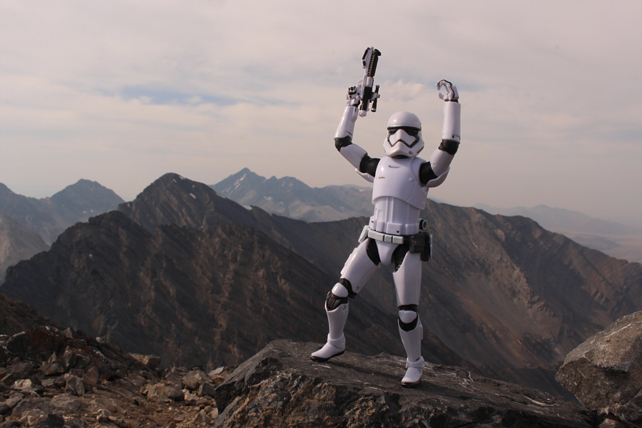
Sonny stands on the summit of Mount Church (3720 metres).
I heard they were charging upwards of $40 USD per night to camp near the reservoir ahead of the total solar eclipse! Mackay Reservoir is barely visible through the haze to the south.
Yeah, I think I'll stay away from Bad Rock Peak! In this view to the northwest, Bad Rock Peak sits in the centre in front of Leatherman Peak.  To the left of Leatherman Peak is Mount Idaho, and to the right in the far distance is Borah Peak.
Corruption is not that far removed from Church...so to speak! 
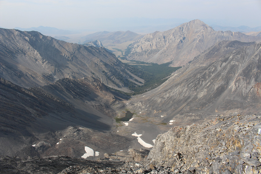
An unnamed tarn sits in the basin to the north of Mount Church.  The peak at distant right is Mount Corruption.
There is much more to explore here besides the 12,000ers... 
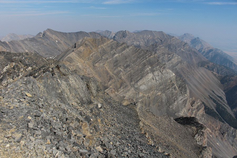
Donaldson Peak and the rest of the Lost River Range stretch away to the east.
Despite the lateness of the day, I took a well-deserved break on top of Mount Church before commencing my descent.  The return along the east ridge was just as enjoyable as the ascent, but I started to tire a bit on the short uphill back to the col.  From the col, I carefully retraced my steps down the headwall, and the looseness of the terrain worked well to my advantage.  Back at the tarn, I chatted again with the solo hiker who congratulated me on my successful ascent of both peaks.  I wished him good luck for his attempt the next day before resuming my descent down the short headwall and vast scree slopes.
Cue the theme from "Hawaii 5-0"! 
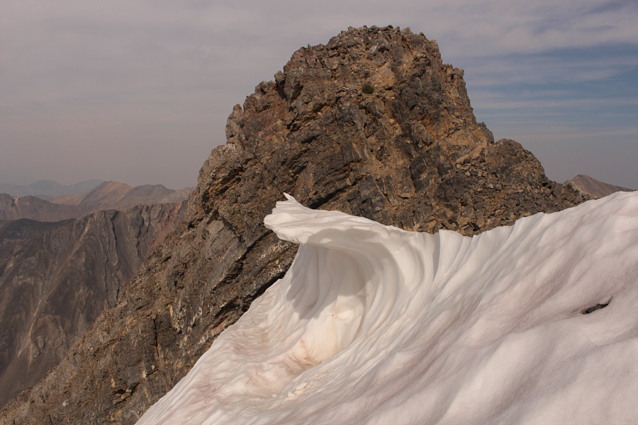
Not far below the summit of Mount Church, this cornice resembles a crashing wave.
Time for some surfing and stumbling! 
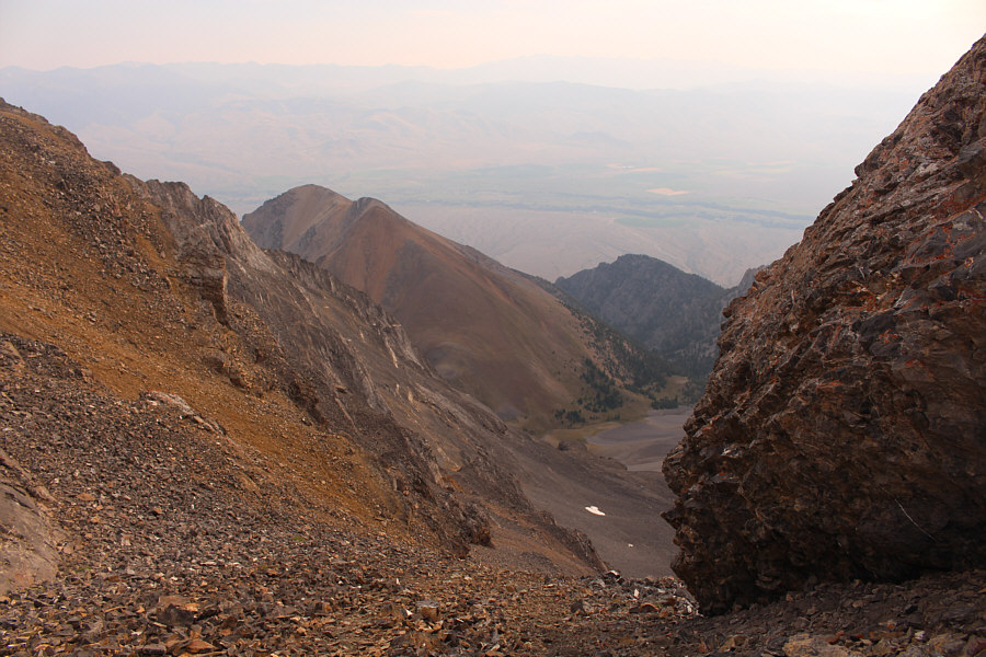
This is looking down the headwall from the col.
Fortunately, these clouds would largely disappear in time for the next day's total solar eclipse. 
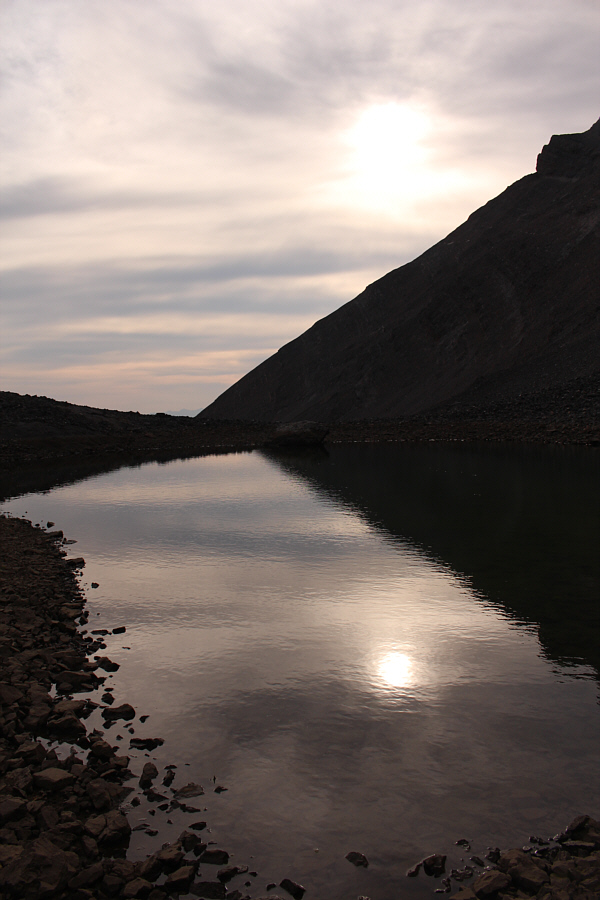
A hazy sun is reflected in the tarn in the upper basin.

Adios, Mount Church!

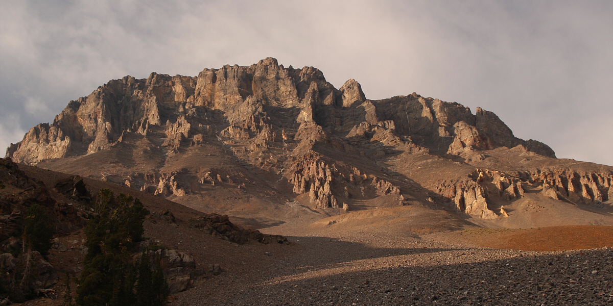
Here is a last look at Mount Church late in the day.


I managed to stick mostly to the main trail on the hike out the north fork of Jones Creek, but despite my best efforts, I still lost the trail once or twice along the way.  Daylight was fading fast by the time I returned to the trailhead, and after changing into some fresh clothes, I drove back to the highway and headed for a nearby campground to eat dinner and get some sleep.

As it turned out, I was too spent to attempt another peak the next day and ended up observing the total solar eclipse from the campground before driving all the way home to Calgary.  Regardless, this was still a hugely successful and memorable weekend for me, and I look forward to returning to the Lost River Range in the future to tag some more Idaho 12,000ers.
Best 2-for-1 deal ever! Total Distance:  14.4 kilometres
Round-Trip Time:  11 hours 18 minutes
Total Elevation Gain:  approximately 1660 metres

GPX Data