BOU AVENUE
Hillsdale Ridge

Driving along the Trans Canada Highway just south of Castle Junction in Alberta's Banff National Park, I have always been intrigued by a low ridge which sits just to the west of Mount Ishbel.  Although the ridge is mostly covered by trees, its southern aspect is open and would likely grant respectable views.  On 18 June 2017, I convinced Asieh Ghodratabadi, Ali Shariat and Zosia Zgolak to join me for an exploratory hike up what I refer to as Hillsdale Ridge due to its close proximity to Hillsdale Meadow.  For the approach, I had hoped to utilize the Hillsdale trail, as described in Mike Potter's Backcountry Banff, before bushwhacking up the east side of the ridge.

When we drove out to the trailhead in Hillsdale Meadow that morning, we were dismayed to learn that that part of the Bow Valley Parkway would be closed until mid-afternoon for a marathon.  Undeterred, we started our hike from Johnston Canyon since I knew that the north end of Hillsdale trail could still be accessed from the Ink Pots up Johnston Creek.  I had never hiked to the Ink Pots before, and when we arrived there, I was pleasantly surprised by the impressive scenery in the area.  After crossing Johnston Creek on a good bridge, we were disappointed to learn that the Hillsdale trail had been decommissioned, but because there was no sign explicitly stating that the area was closed, we tried to follow what was left of the trail anyway.  Initially, we lost the trail a couple of times amidst overgrown bushes and boggy areas, but the trail improved significantly once we began gaining elevation.  Oddly enough, the trail we were on did not correspond exactly with what was displayed on the topo map in my GPS.

At a general flattening of the trail, we reluctantly left it and climbed a steep forested slope to access the east end of Hillsdale Ridge.  The bushwhacking was not bad here, and it took us about 50 minutes to finally break out of the trees and onto south-facing grassy slopes.  We tried to stay in the open as much as possible as we traversed westward along the ridge, but we eventually re-entered the forest to hike over Hillsdale Ridge's unremarkable high point.  Just beyond the high point, we re-emerged from the trees and stopped for lunch before continuing west to a very scenic promontory that we had spotted earlier from the trail to the Ink Pots.

Once we had our fill of scenery on the western promontory of Hillsdale Ridge, we backtracked a bit to the east and continued down the slope in hopes of intersecting Hillsdale trail.  Our plan was to follow the remnants of the trail southeast to Hillsdale Meadow and then either hike or hitch a ride back to Johnston Canyon via the Bow Valley Parkway.  Unfortunately, we had a tough time finding the trail again since much of it is now reclaimed.  We hiked off-trail for most of our descent, and although the bushwhacking was not the most heinous I have experienced, it was nevertheless still tiresome.  On several occasions, we thought we were home-free after stumbling onto a good section of trail, but it would inevitably disappear in a thicket or a bog.  Despite these challenges, we never encountered any impassable drop-offs, and there were few complaints other than the periodic loud sigh from myself.  The feeling of relief was palpable when we finally broke out of the forest for good in Hillsdale Meadow, and the final scenic walk across a field of dandelions was refreshingly uplifting.

When we reached the Bow Valley Parkway, we noticed signs indicating that the local area was under a temporary closure until 15 July 2017.  The affected area did not include Hillsdale Ridge, and had we known about the closure, we would have retraced our steps back to the Ink Pots.  Regardless, returning via the Ink Pots might have been simpler anyway given the poor condition of Hillsdale trail.  While the rest of us were still pondering the signs, Zosia flagged down a car on the road which was now re-opened to traffic (we had not even considered the implications of the seasonal travel restriction where this same part of the Bow Valley Parkway is closed from 8:00 PM to 8:00 AM between 1 March and 25 June every year).  George and Sidney, the two Americans in the car, may have been confused and thought that there was an emergency, but after realizing our intentions, they were still willing to provide me a lift back to Johnston Canyon.  During the short drive, I learned that George was a travel writer, and he and Sidney were coincidentally on their way to visit Johnston Canyon after touring Lake Louise and Banff earlier in the day.  Upon returning to my car, I thanked George and Sidney for their kindness and then drove back to Hillsdale Meadow to pick up Zosia, Ali and Asieh before heading home.
Bloody tourists! 
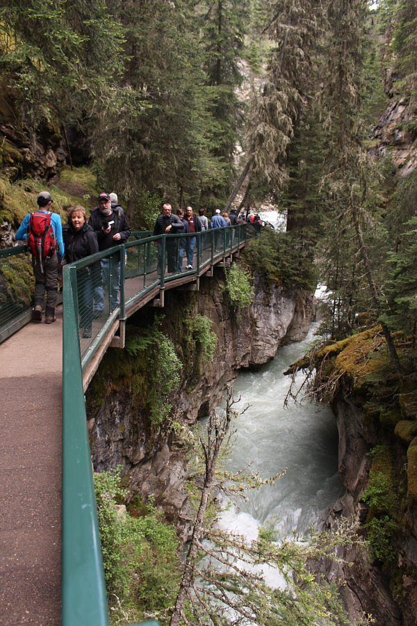
It is sometimes tough to get past the crowds at Johnston Canyon.
Very misty here. 
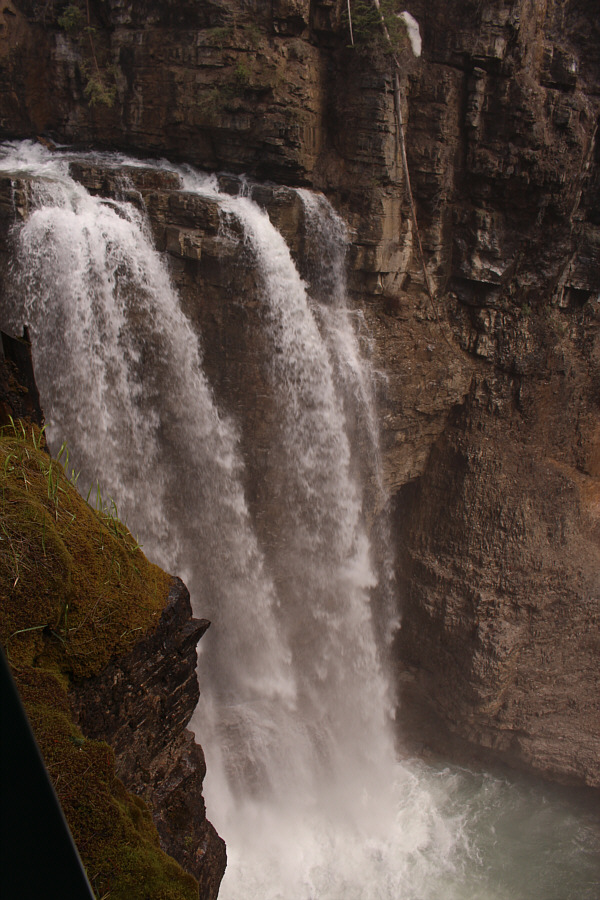
The upper falls of Johnston Canyon are impressive.
There will be views for sure, but how do we get up there? 
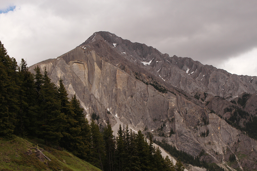
A break in the forest grants this view of Hillsdale Ridge and its western promontory.
It's hard to believe that this is actually my first time here! 
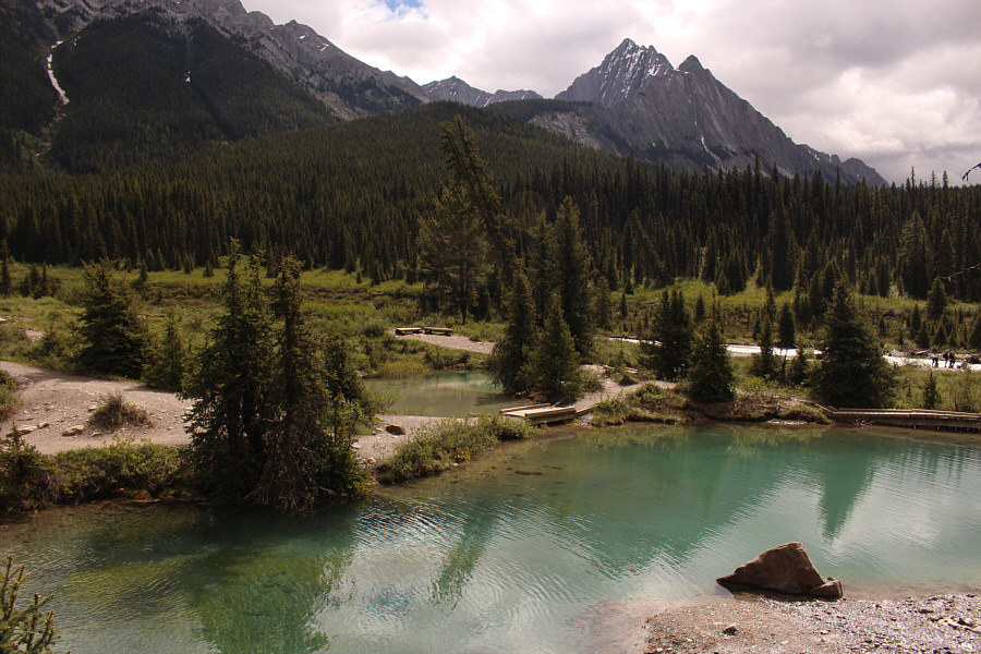
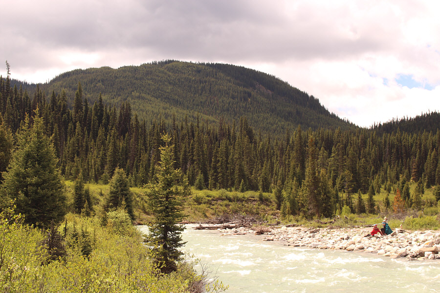
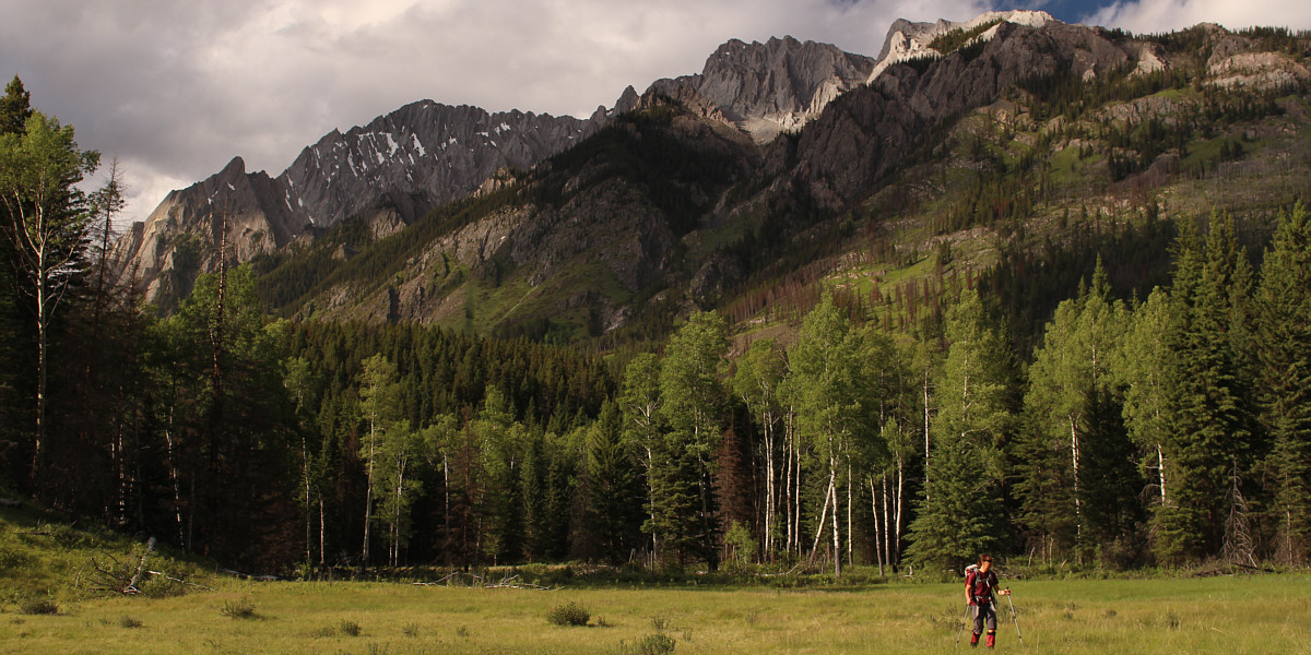
The Ink Pots are a deservedly popular hiking destination.
Fording Johnston Creek would have been tough. 
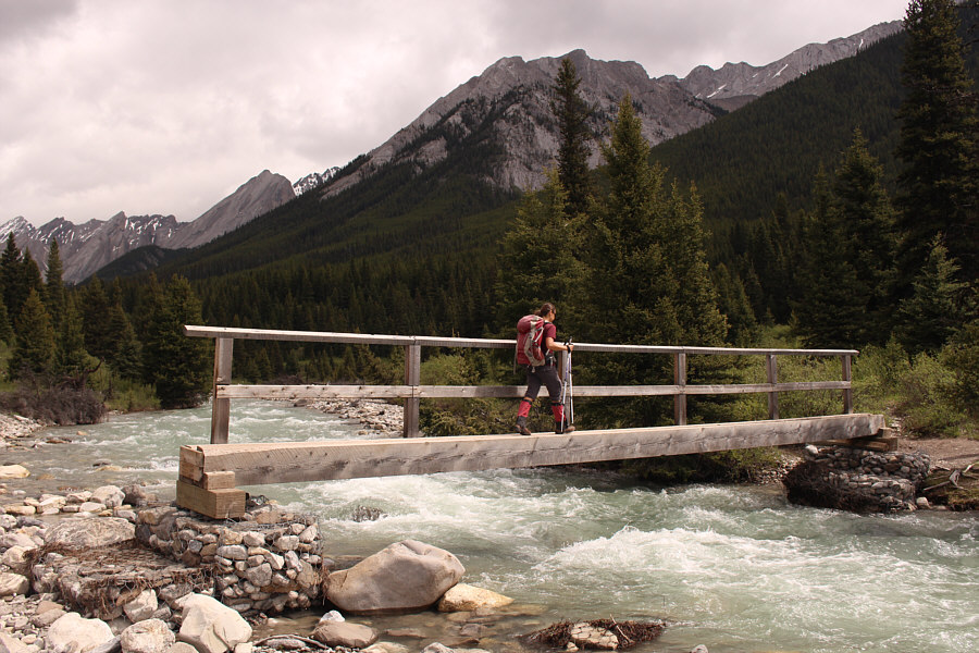
Zosia crosses Johnston Creek on a sturdy bridge.
Looks like a lot of bushwhacking... Here is a more comprehensive view of Hillsdale Ridge as seen from the bridge over Johnston Creek.
There's a trail here?
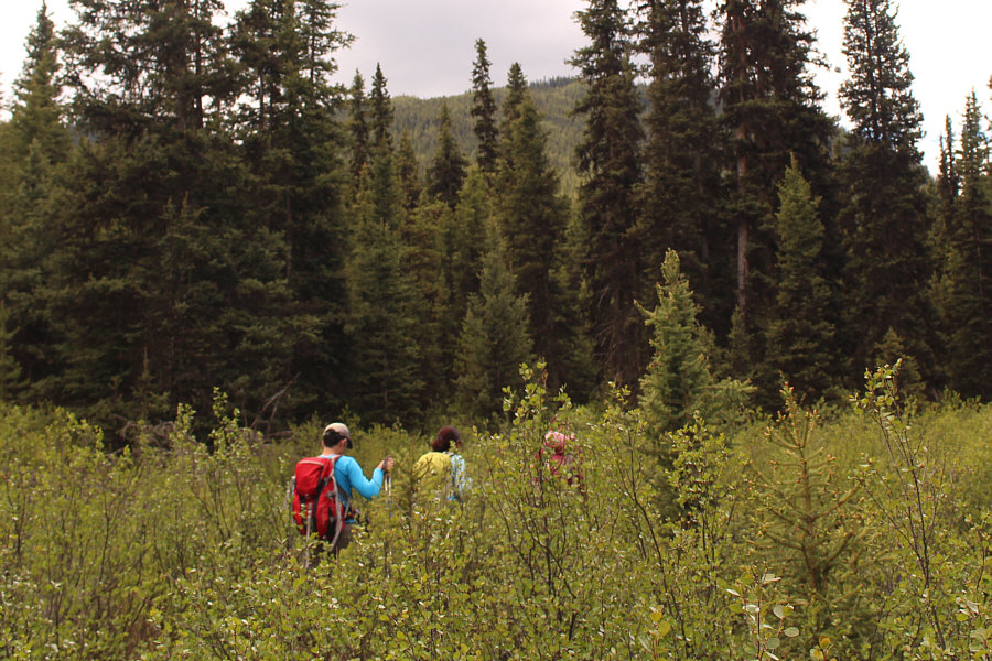
Ali, Asieh and Zosia seemingly get swallowed up by the vegetation.
It's still early... 
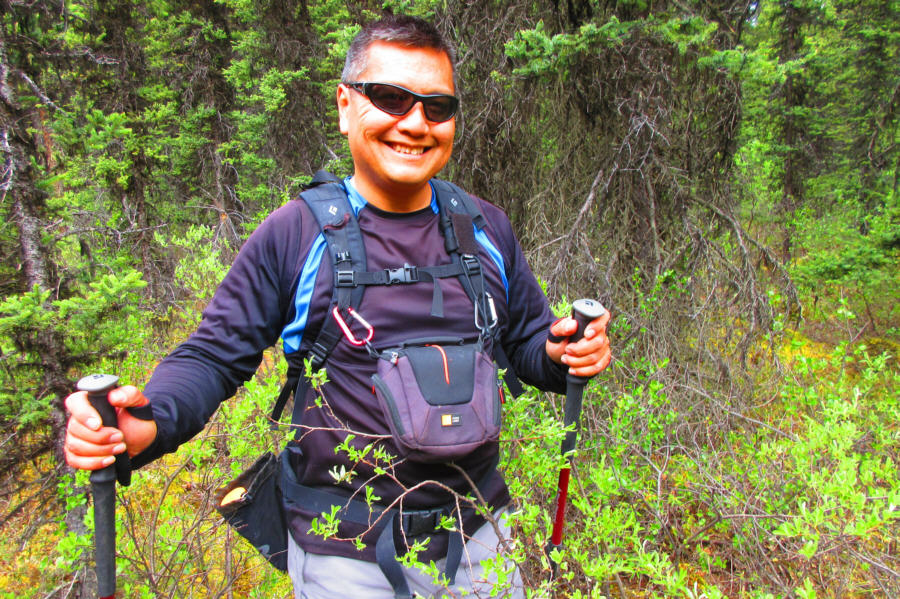
Sonny looks surprisingly happy to be bushwhacking.

Photo courtesy of Zosia Zgolak

Not the worst bushwhacking I have done... 
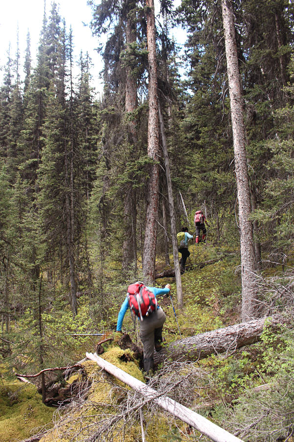
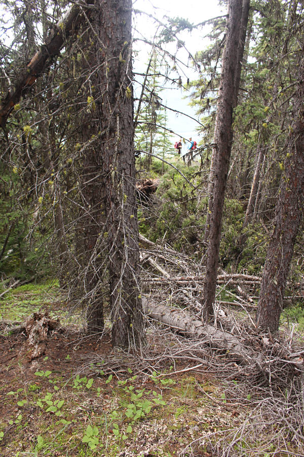
The group climbs steeply up through the forest.

Finally some reward for all the hard work!

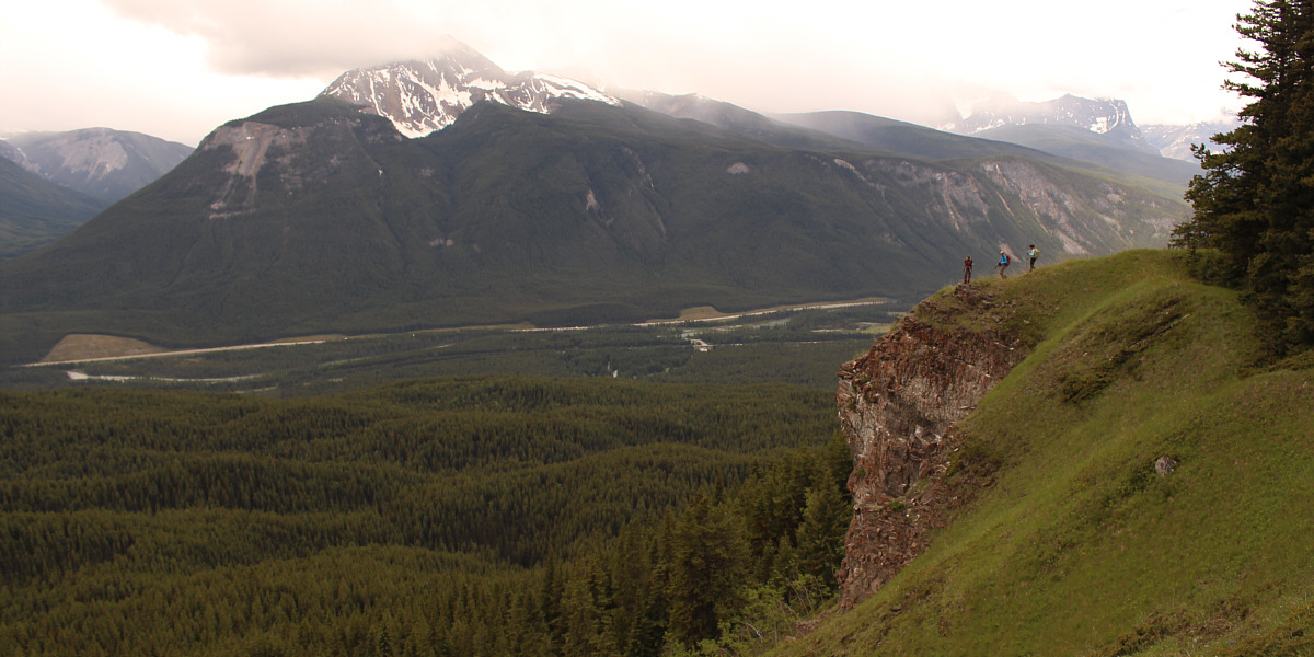
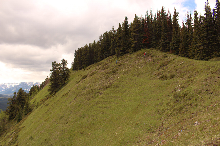
The group breaks out of the trees on the south side of Hillsdale Ridge.  The top of Copper Mountain is partly shrouded by clouds across the valley.


Gotta love Zosia's camera's vivd setting! 
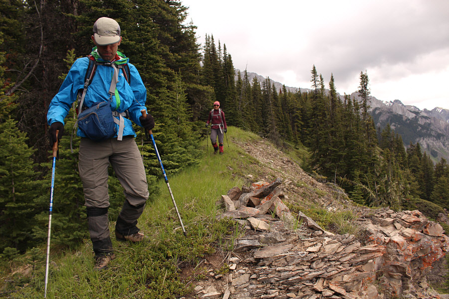
Sonny traverses along the edge of the forest with Mount Ishbel looming behind the trees.

Photo courtesy of Zosia Zgolak

Everyone looks happy to be here! 
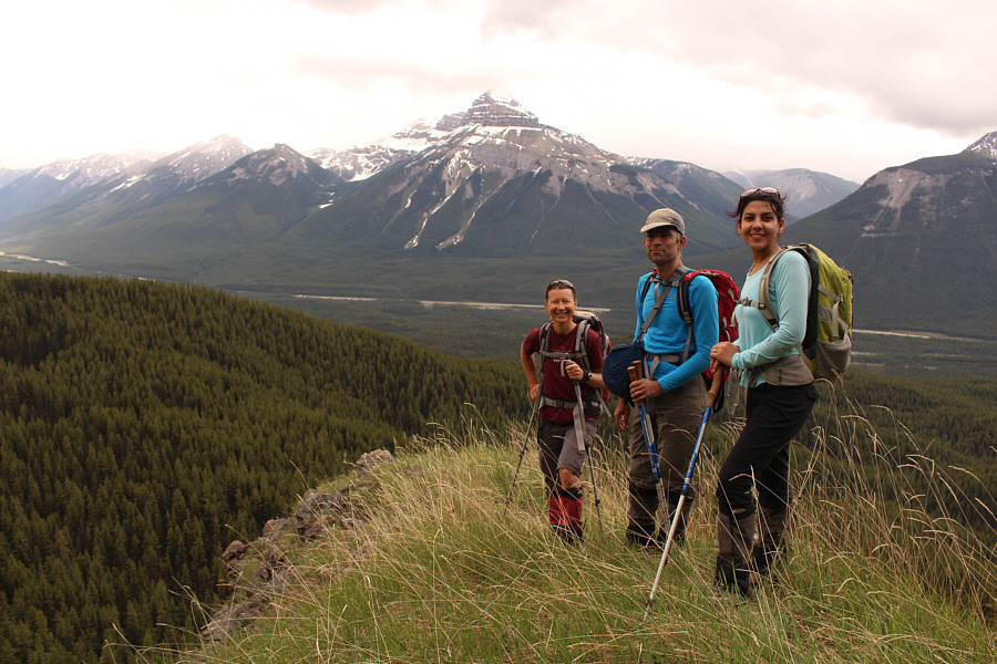
Zosia, Ali and Asieh pause at a grassy viewpoint along the ridge.  Behind them is Pilot Mountain.
You know a trip sucks when you have to bushwhack on the summit... The high point of Hillsdale Ridge (2025 metres) is unfortunately covered with trees.
Why is there a cairn here? Ali and Zosia continue traversing westward along the south side of Hillsdale Ridge.
Island in the sky! Ali, Asieh and Zosia reach the western promontory of Hillsdale Ridge.

We didn't bother taking the mess of papers out of the jar.

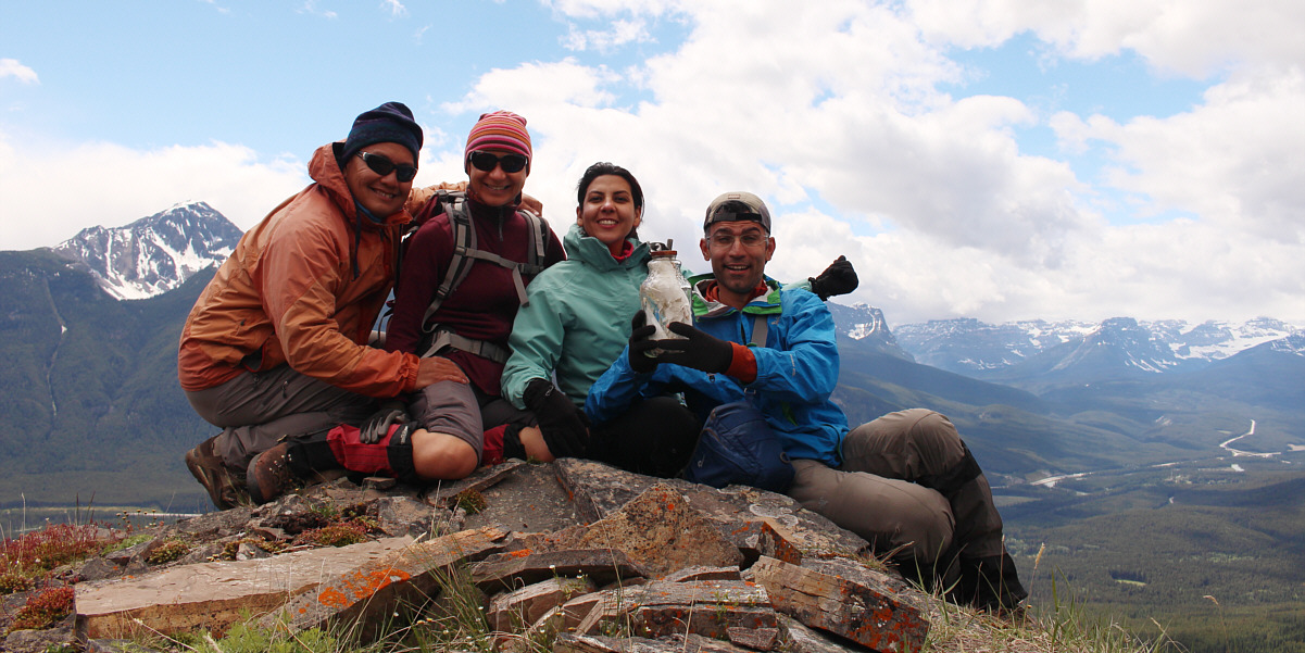
Sonny, Zosia, Asieh and Ali crowd around a register jar on the western promontory of Hillsdale Ridge (1991 metres).


We have clearance, Clarence. Roger, Roger. What's our vector, Victor? 
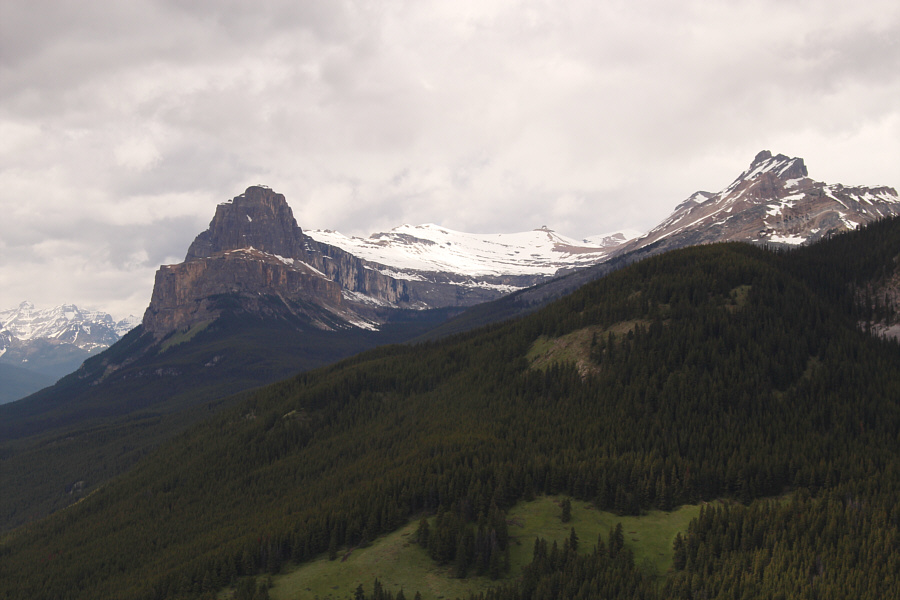
Pilot Mountain stands out from the rest of the peaks to the south.
Another Kane Classic!
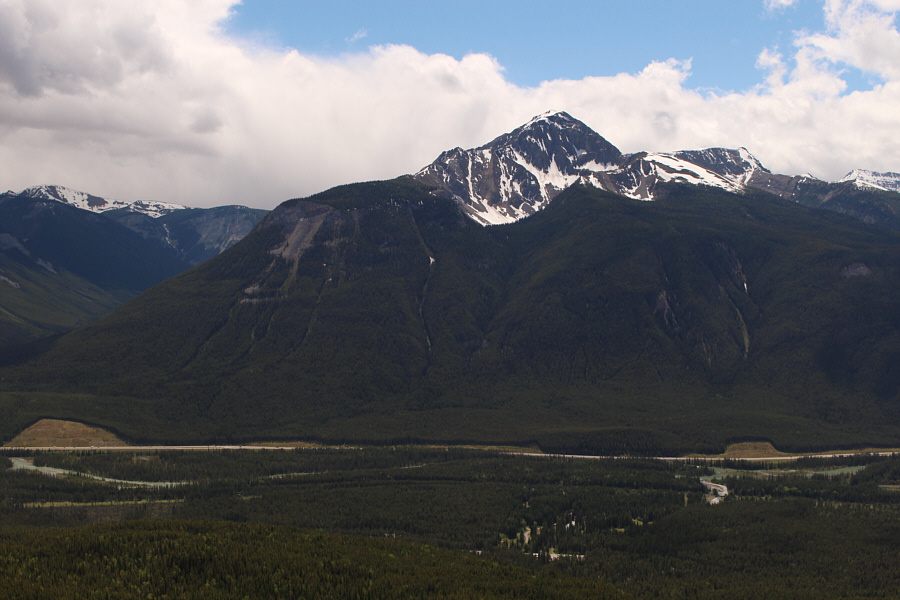
Copper Mountain sits across the valley to the southwest.
I will probably never climb Eisenhower Tower... To the northwest are Eisenhower Peak (Tower), Castle Mountain, Stuart Knob, Television Peak and Helena Ridge.
I wonder if anyone has skied this slope in winter... Asieh and Ali make their way back along the south side of Hillsdale Ridge.
Looks dry enough to climb now, I'd say! Here is another look at Mount Ishbel.
Don't worry. There's more monotony to come...
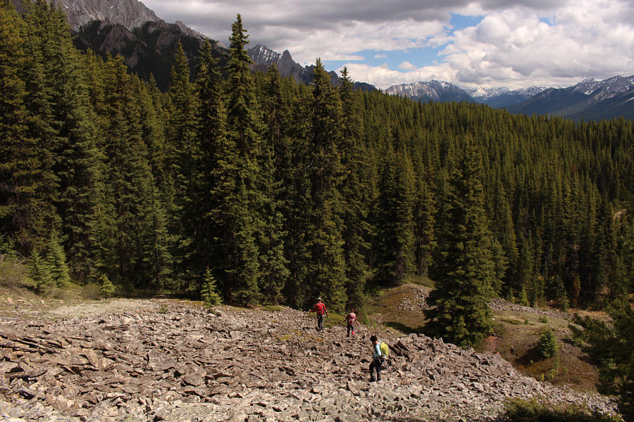
A rubble slope alleviates some of the monotony of the forest during the group's descent.
At least we have a trail to follow here!
Sonny swings underneath a downed log.

Photo courtesy of Ali Shariat

Not fun! 
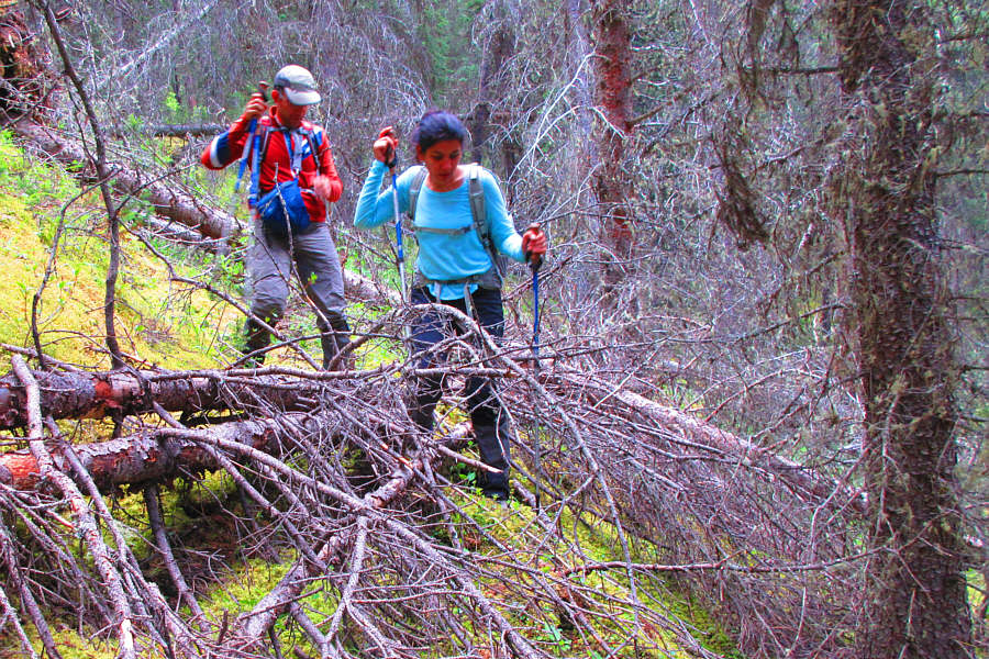
Ali and Asieh get into some thick bushwhacking.

Photo courtesy of Zosia Zgolak

A moment of beauty in the midst of much tedium. This is one of many calypso orchids blooming in the forest.
Lotsa bones here...maybe even a few human ones! Asieh and Ali hike through a large marshy area.

Photo courtesy of Zosia Zgolak

I am never coming back here again...ever!

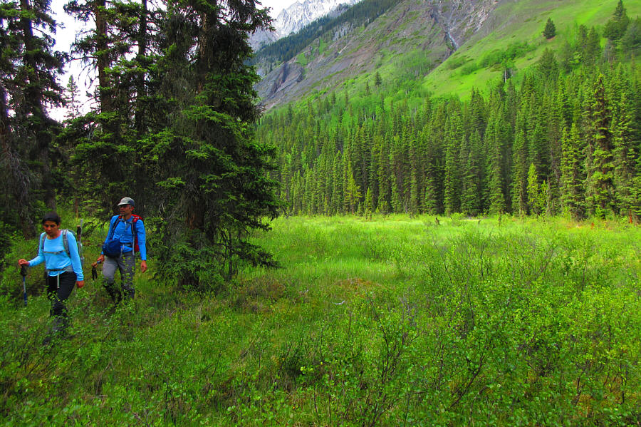
Zosia is relieved to be out of the forest for good.  Mount Ishbel dominates the background.


The views hardly justify all the bushwhacking--not recommended! Total Distance:  18.5 kilometres
Round-Trip Time:  9 hours 12 minutes
Net Elevation Gain:  584 metres

GPX Data