|
|
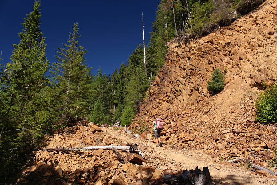
After a long climb through the forest, Zosia hikes past some bluffs which help break up the monotony. |
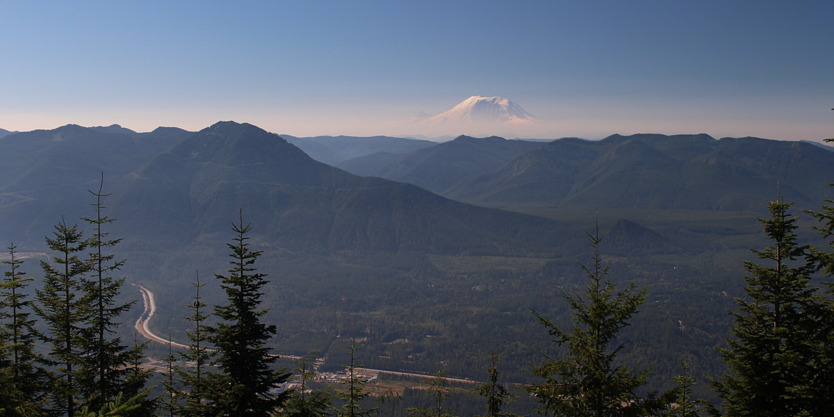
A break in the trees reveals majestic Mount Rainier about 70 kilometres to the south.
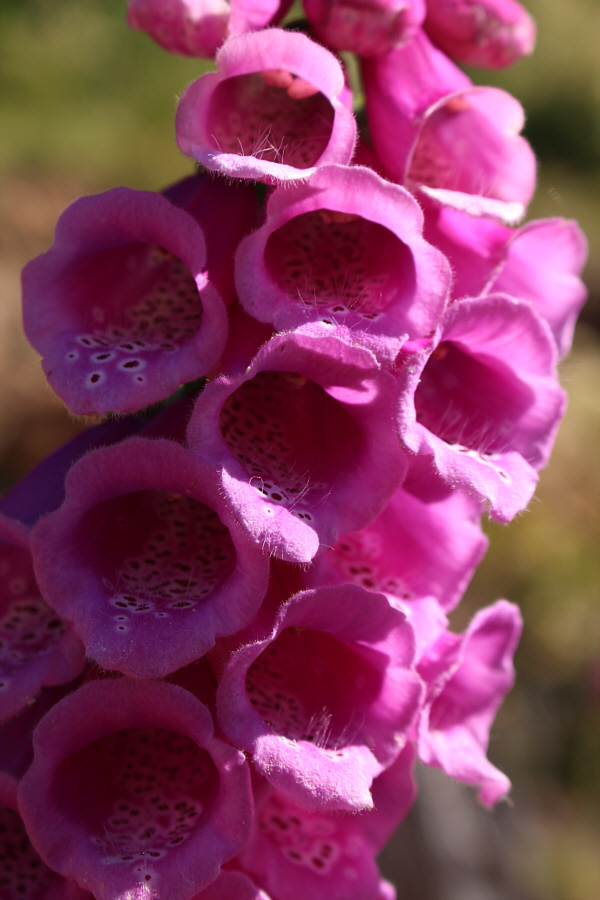 |
Pink foxgloves provide a splash of colour along the trail. |
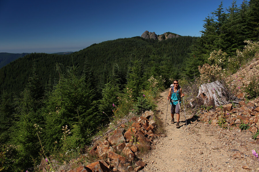 |
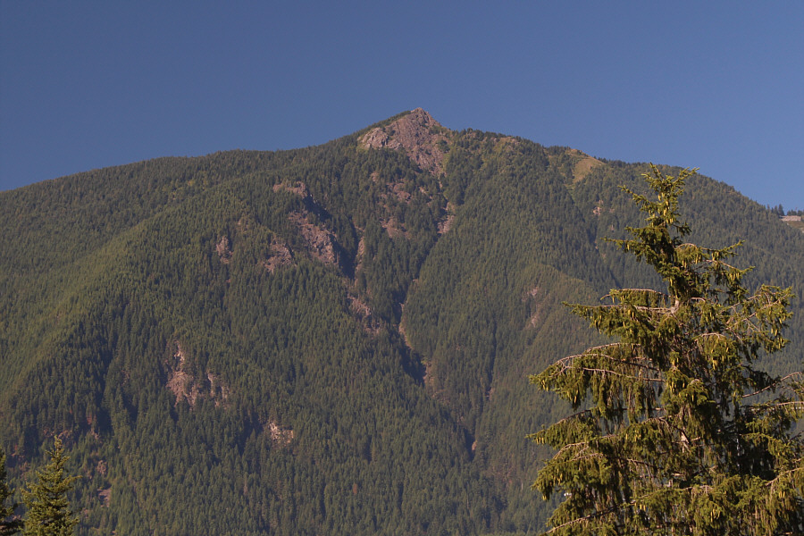
Mount Si is visible behind Zosia as she marches up an open section of the trail. |
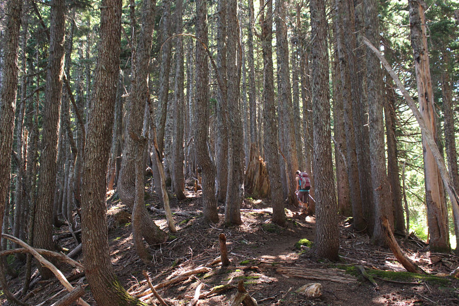 |
The forest is thick along the northwest ridge of Mount Teneriffe. |
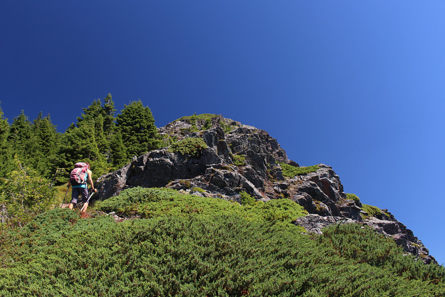 |
Zosia breaks out of the forest just below the summit. |
 |
Zosia and Sonny stand on the summit of Mount Teneriffe (1450 metres). |
 |
Over 140 kilometres away, snow-capped Mount Baker and Mount Shuskan are unmistakable on the northern horizon. |
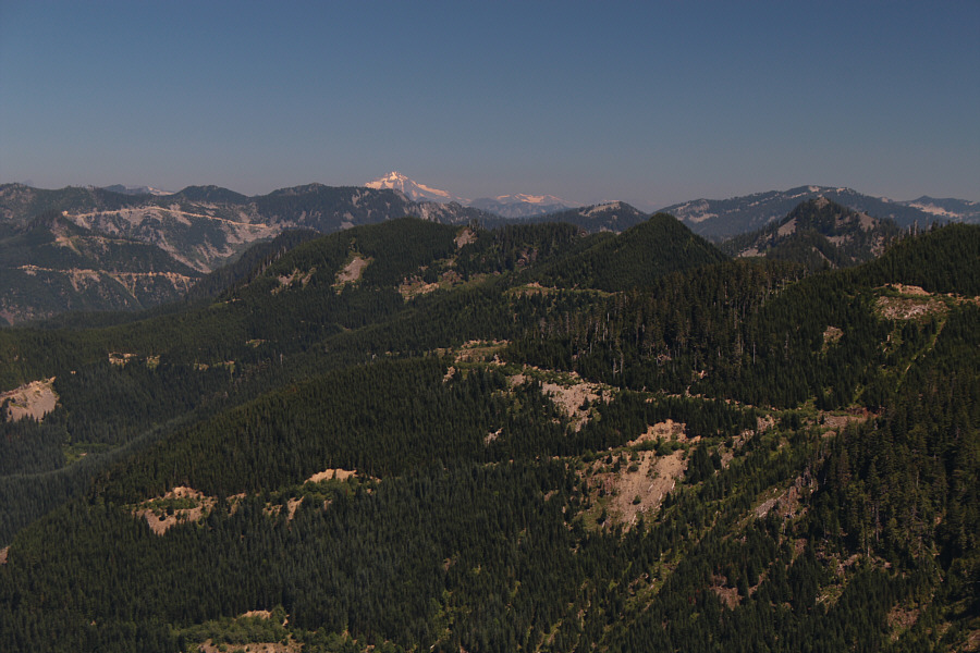 |
Glacier Peak stands out about 80 kilometres away to the northeast. |
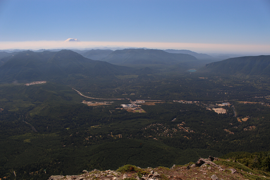 |
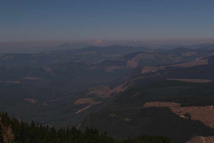
Some haze in the atmosphere partially obscures Mount Rainier to the south. |
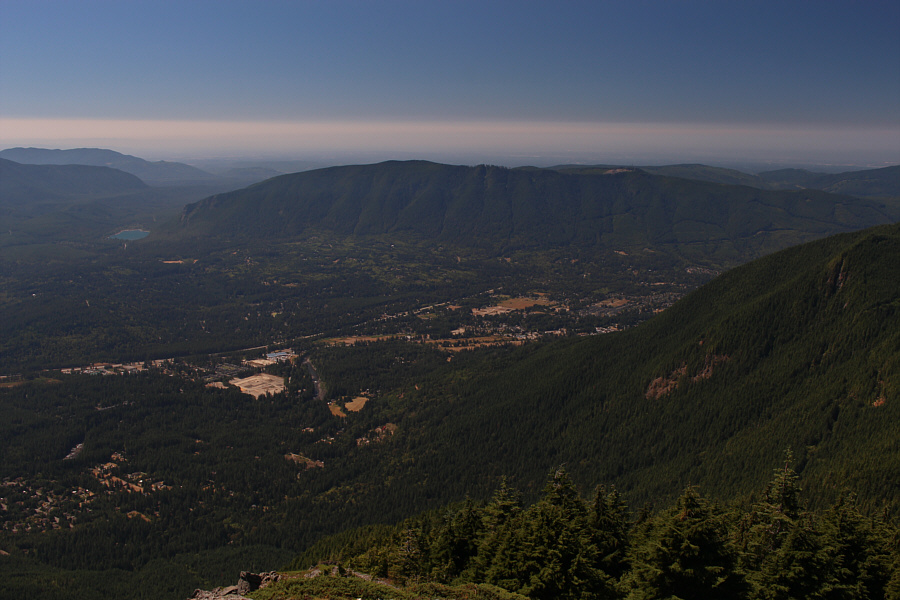 |
Rattlesnake Lake, Rattlesnake Ledge and Rattlesnake Mountain round out the views to the southwest. |
 |
Here is the surveyor's benchmark on Mount Teneriffe's summit. |
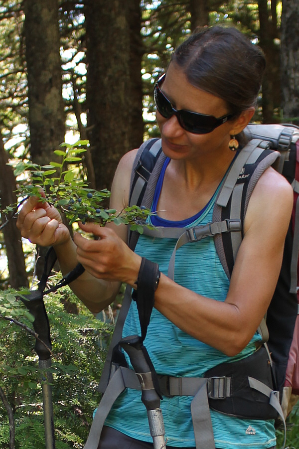 |
On the way down, Zosia stops to indulge in some ripe huckleberries. |
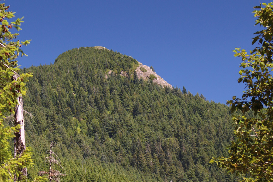 |
The summit block of Mount Teneriffe is readily visible along a short section of the trail. |
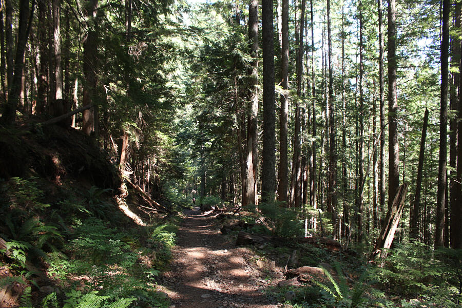 |
The forest shade provides some relief from the hot sun on this day. |
 |
Here is a last look at Mount Teneriffe from a truck stop near I-90. |
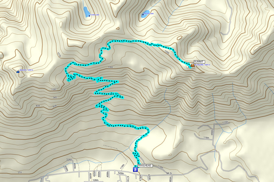 |
Total
Distance: 21.8 kilometres Round-Trip Time: 8 hours 9 minutes Net Elevation Gain: 1192 metres |