BOU AVENUE
Little Blacktail Mountain
Heading back to Canada through the Idaho panhandle on 29 March 2019, Zosia Zgolak and I took a short detour to hike up Little Blacktail Mountain which is located along the western shore of Lake Pend Oreille.  Researching with Google Earth, I had picked out this obscure peak as a possible scenic viewpoint for the lake, and with an easily accessible road running all the way to the top, Little Blacktail Mountain seemed like an ideal shoulder-season hiking objective.

The southern access point for Blacktail Road is located along US Highway 95 about 24 kilometres south of the south end of Long Bridge near Sandpoint or about 42 kilometres north of the interchange between Highway 95 and I-90 in Coeur d'Alene.  Turn off the highway and head east along Blacktail Road for about 4.2 kilometres to a T-intersection with Little Blacktail Mountain Road.  Turn onto Little Blacktail Mountain Road and drive as far as possible depending on road conditions.  The summit is about 8.5 kilometres from the T-intersection.  If parking along the road, be sure not to block any private access roads or entrances.

I managed to drive about 5 kilometres up Little Blacktail Road before lingering snow forced me to park my car.  Zosia and I quickly geared up and started walking along the continuation of the road.  The ascent was very straightforward; we simply followed the road all the way up to the summit.  Any lingering snow patches along the road were easy to walk on since snowmobiles had already packed down the snow.  Only when we ventured off the road did we start sinking into deep snow.

Disappointingly, the summit did not grant the panoramic views I had been hoping for, but we at least could see part of Lake Pend Oreille (there are better views of the lake from lower sections of the road).  After spending about 15 minutes at the summit, we promptly walked back down the road and returned to my car without any trouble and without much fanfare.
My boots stink! 
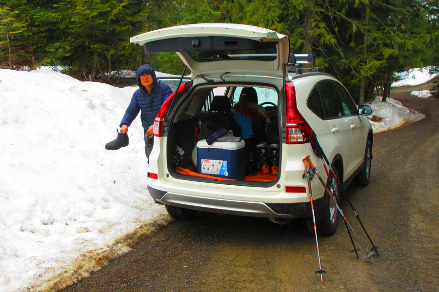
Sonny knocks snow off his boots while gearing up beside his car.

Photo courtesy of Zosia Zgolak

Feels good NOT to strap on skis for a change! 
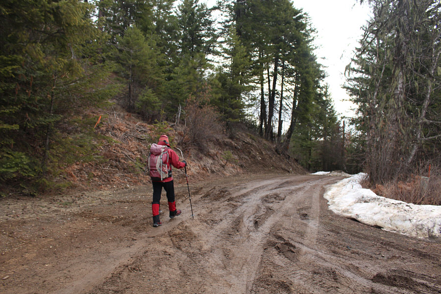
Zosia starts hiking along the muddy road.  Deep snow around the next corner prevent any further driving from this point.
We're in Bonner County. 
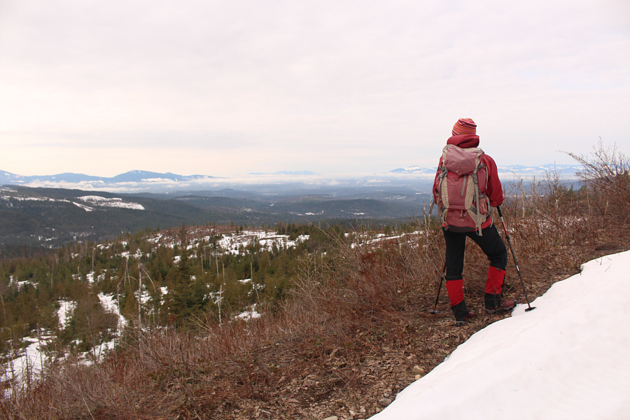
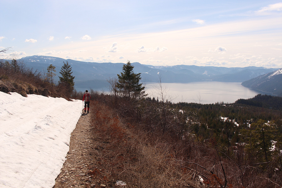
The partially open slopes of Little Blacktail Mountain grant far-reaching views of the surrounding countryside.
The state gives out money for motorized off-roading?? 
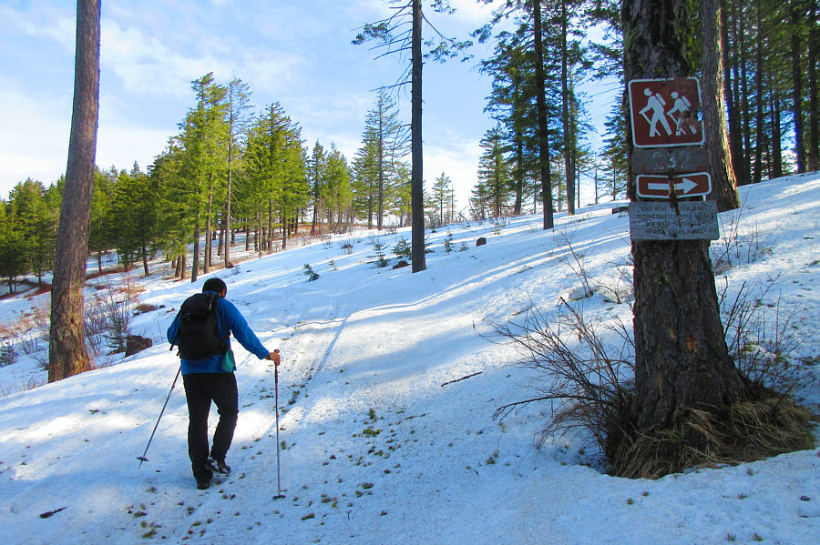
Sonny passes a sign for a hiking trail that branches off the road.  The sign reads, "This trail system was reconstructed with Idaho off road motorized vehicle grant funds."  Unfortunately, the deep snow makes following the hiking trail too impractical on this day.

Photo courtesy of Zosia Zgolak

Not the best views I had hoped, but it's better than nothing!

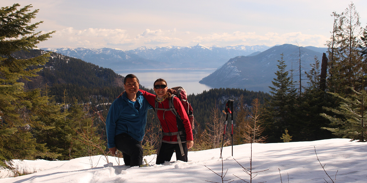
Sonny and Zosia venture off the road and into some deep snow near the summit for this view of Lake Pend Oreille.


I love this area and will return to climb more mountains here!

To the east, the obvious white-capped mountain in the distance is Scotchman Peak.

Another named summit bagged! Yay! 
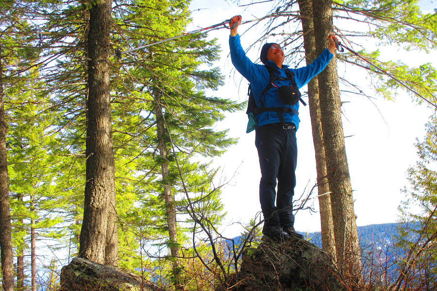
Sonny stands triumphantly on the actual high point of Little Blacktail Mountain (1360 metres).

Photo courtesy of Zosia Zgolak

Packsaddle Mountain was a rather surreal trip for me. 
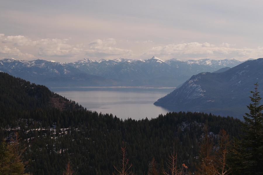
Ironically, the best views of Lake Pend Oreille are from the lower slopes of Little Blacktail Mountain.  Packsaddle Mountain is also visible at far left.
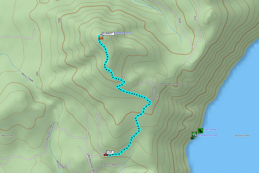
Might make for a better ski trip in winter... Total Distance:  7.6 kilometres
Round-Trip Time:  2 hours 34 minutes
Net Elevation Gain:  402 metres

GPX Data