Right off the bat, we started gaining elevation steadily as we hiked up the side road, and the climb would be relentlessly steep all the way to the summit ridge. About 1.4 kilometres from the start, the road ends at a small clearing, but a good trail continues up a long avalanche slope without skipping a beat. The bulk of the ascent is up this avalanche slope, and although there are no route-finding difficulties here, the climb is long and can be quite monotonous. The trail peters out just below the summit ridge, but it is easy enough to carry on up the semi-open slope past the last trees. Upon reaching the crest of the summit ridge, we turned right (east) to finish the ascent. The summit ridge is a bit airy in a few spots, and Zosia did not feel comfortable continuing. While she waited for me just below the ridge crest, I quickly scrambled up the final summit block which has one moderate step with some exposure.
After tagging the summit cairn and taking a few requisite photographs, I retraced my steps back down the ridge to rejoin Zosia. Instead of descending right away, we ventured further along the summit ridge to tag the easy northwest outlier (T2) of Mount Tegart. From there, we backtracked a bit along the ridge before dropping down a scree slope and traversing across some scrubby terrain to regain our ascent trail. The remainder of our long, knee-jarring descent was uneventful, but I lamented the absence of lingering snow patches which could have eased some of the pounding on our legs and been a lot of fun to glissade. Except for having to allow a couple of ATV enthusiasts pass by us on the narrow road, the bumpy drive back out to the highway also went without a hitch.
 |
It is a long and bumpy drive to reach the side road leading to Mount Tegart. |
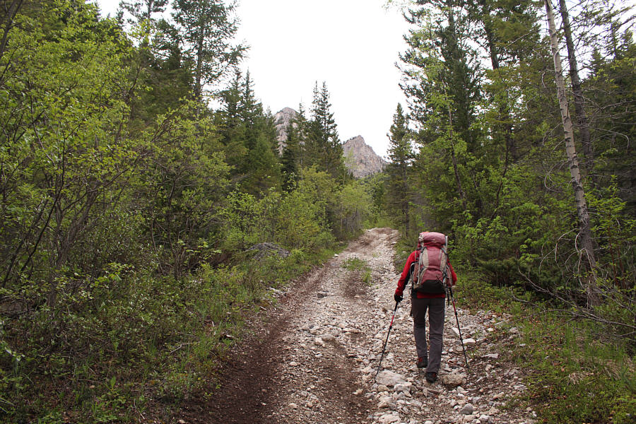 |
The side road gains elevation quickly and relentlessly. |
 |
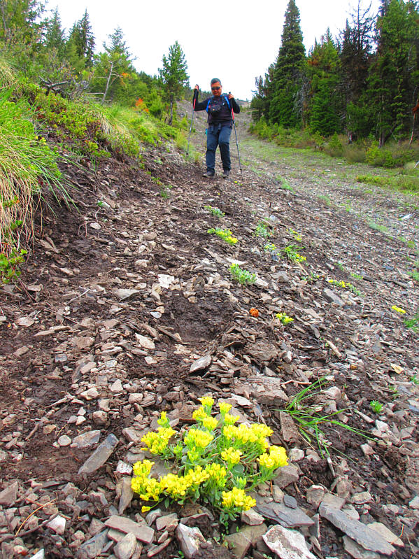
Zosia heads up an avalanche slope near the end of the side road. |
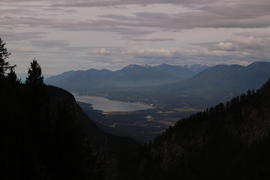 |
Here is a view of Columbia Lake from somewhere on the avalanche slope. |
 |
The avalanche slope is seemingly interminable. |
 |
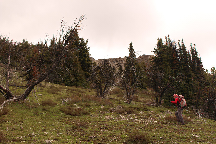
The trail peters out near this flagging tape at tree line. Above Zosia is the northeast outlier (T2) of Mount Tegart. |
 |
Zosia climbs up through the last trees before the summit ridge. |
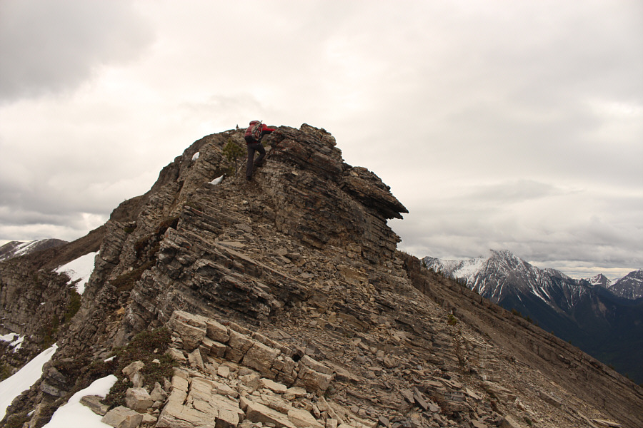 |
Zosia scrambles up the summit ridge. |
 |
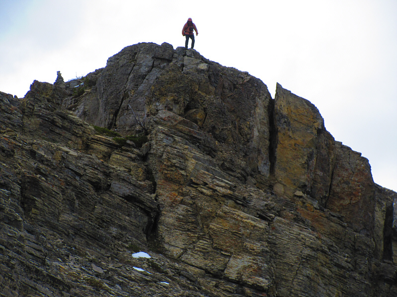
The summit block of Mount Tegart is guarded by some cliff bands which require some hands-on scrambling to surmount. |
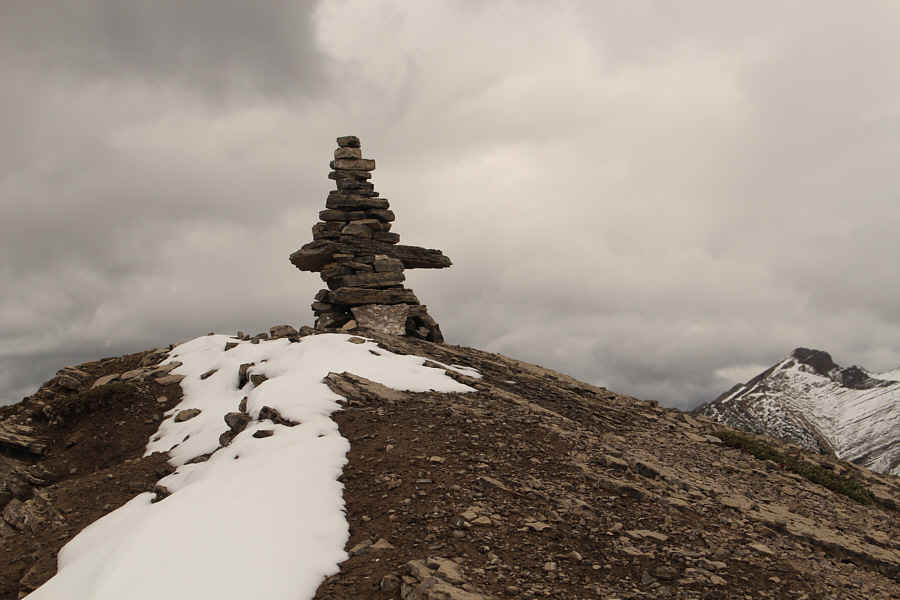 |
An impressive cairn sits atop Mount Tegart. |

Sonny stands on the summit of Mount Tegart (2379 metres).
 |
To the southeast, Mount Aeneas is the snowy peak right of centre. |
 |
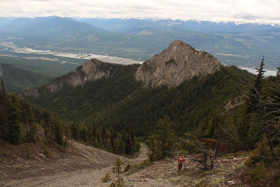
Columbia Lake is the most obvious feature to the south. |
 |
This is looking northwest toward T2 and Windermere Lake. Zosia is barely visible near the trees at centre. |
 |
Sonny descends the summit block of Mount Tegart. The summit cairn
is still visible at left. Photo courtesy of Zosia Zgolak |
 |
Zosia hikes along the summit ridge toward T2. |
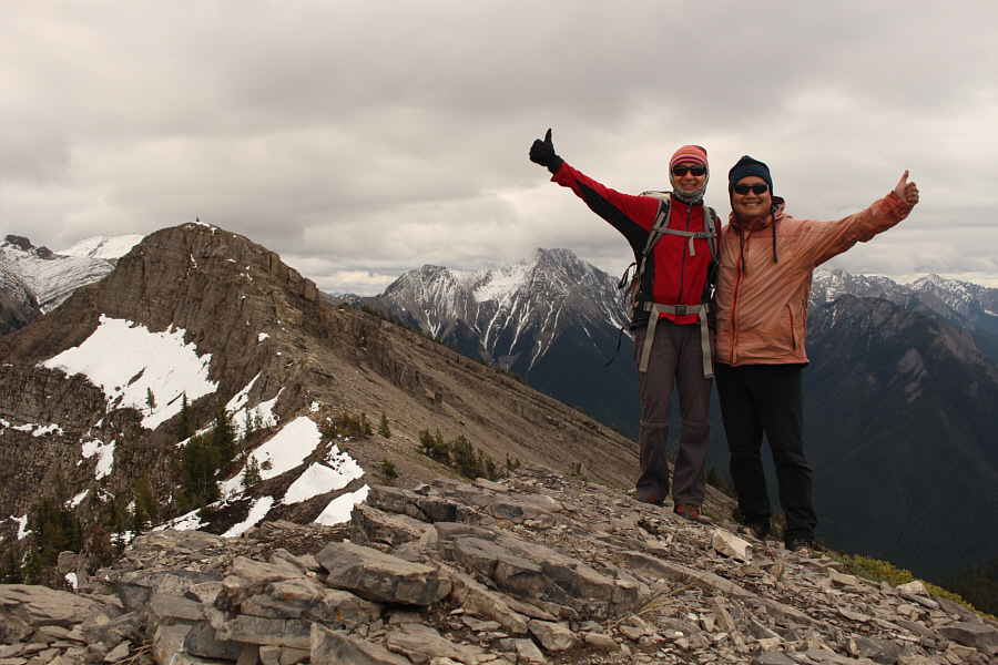 |
Zosia and Sonny stand atop T2 (2360 metres) with Mount Tegart's summit block visible at left. |
 |
From the top of T2, here is the view to the northwest of Four Points Mountain and Swansea Mountain. |

Zosia prepares to leave the top of T2. Mount Aeneas can be seen just to the left of Mount Tegart's summit block. Right behind Zosia, the top of Indian Head Mountain (Chisel Peak) is partly obscured by clouds.
 |
Zosia retraces her steps down the steep avalanche slope. |
 |
The bone-jarring descent can be hard on the knees. Photo courtesy of Zosia Zgolak |
 |
Total
Distance: ~6.2 kilometres Round-Trip Time: 4 hours 42 minutes Net Elevation Gain: 869 metres |