
Photo courtesy of Zosia Zgolak
|
|
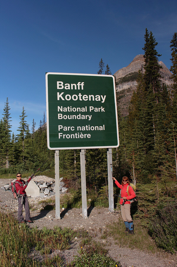
The route into Chickadee Valley begins along a creek just behind this highway sign. |
|
|
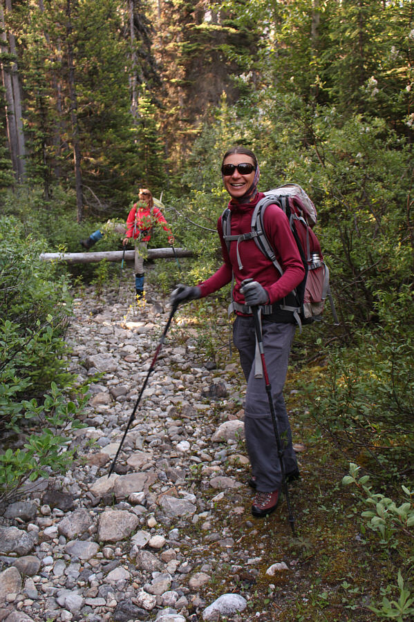
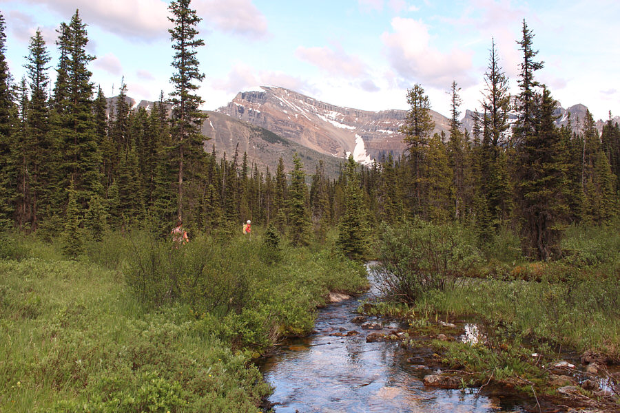
While Marta climbs over a downed log, Zosia appears to be looking forward to the next three kilometres or so of bushwhacking up Chickadee Valley. |
|
|
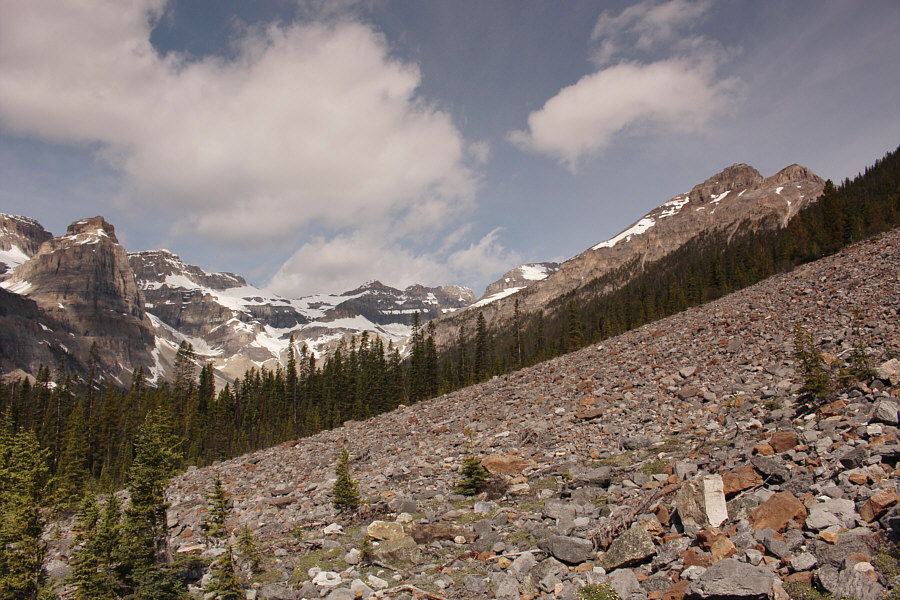
Several talus slopes such as this one grant some respite from the bushiness of the approach. |
|
|
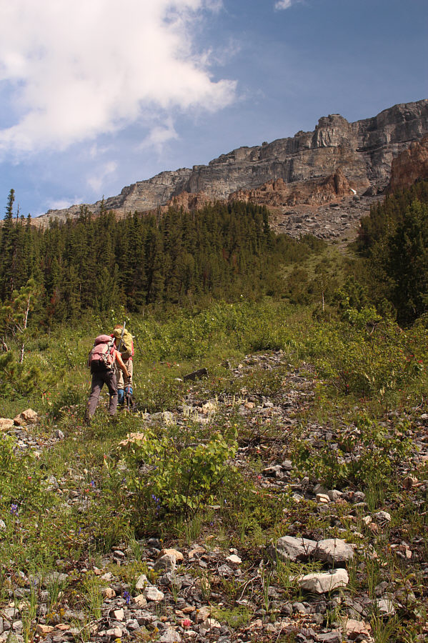
Zosia and Marta begin climbing in earnest up an avalanche chute. |
|
|
Zosia and Marta work their way around larger boulders near the top of the avalanche chute. |
|
|
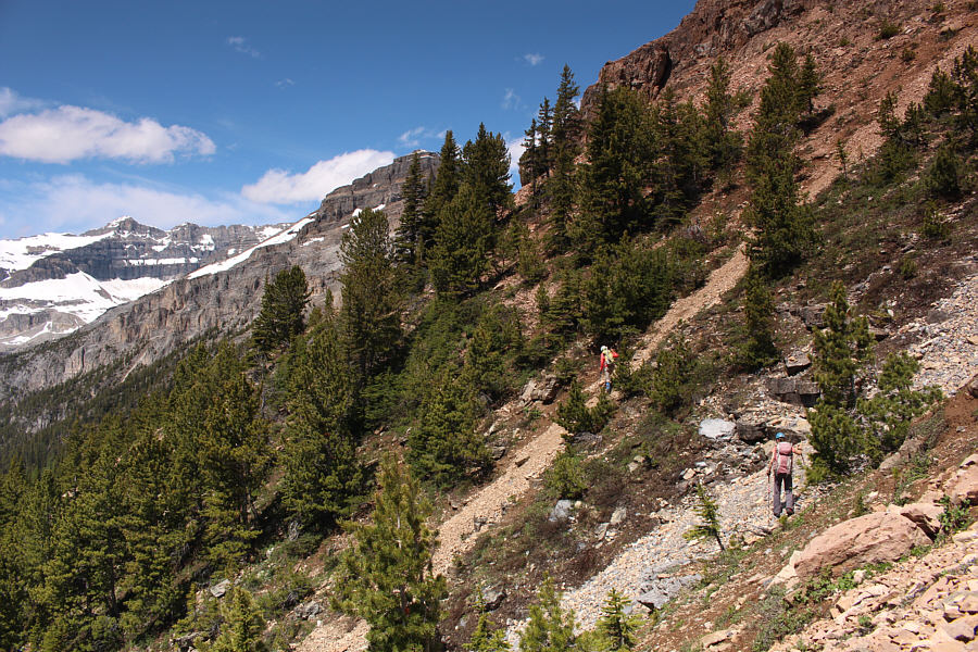
Marta and Zosia traverse across a lightly forested rib. |
|
|
The trees begin to thin out as Marta and Zosia continue traversing across the slope. |
|
|
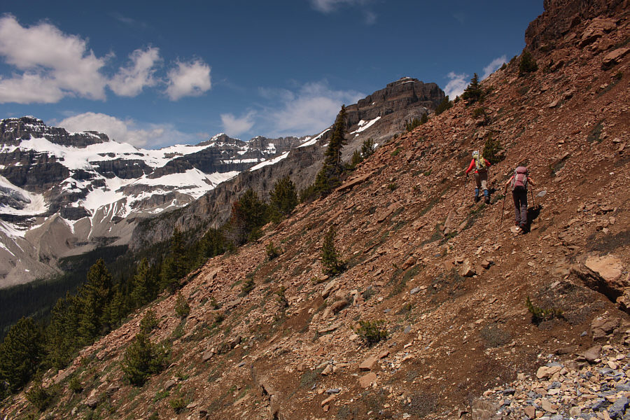
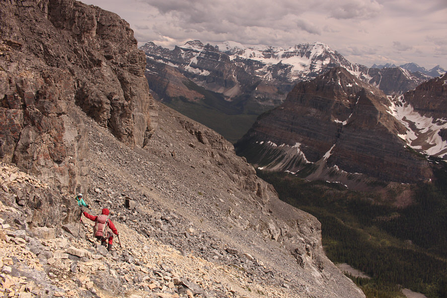
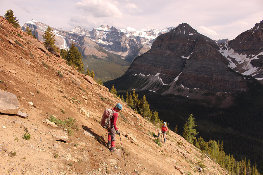
Marta resumes her uphill grind through a mix of slabs and rubble. |
|
|
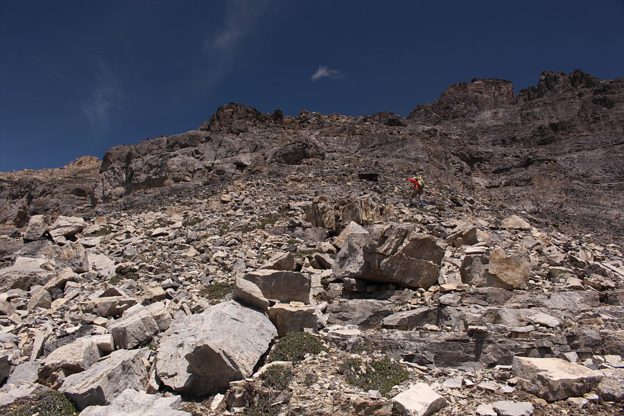
This gap in the cliffs grants easy access to the upper mountain. |
|
|
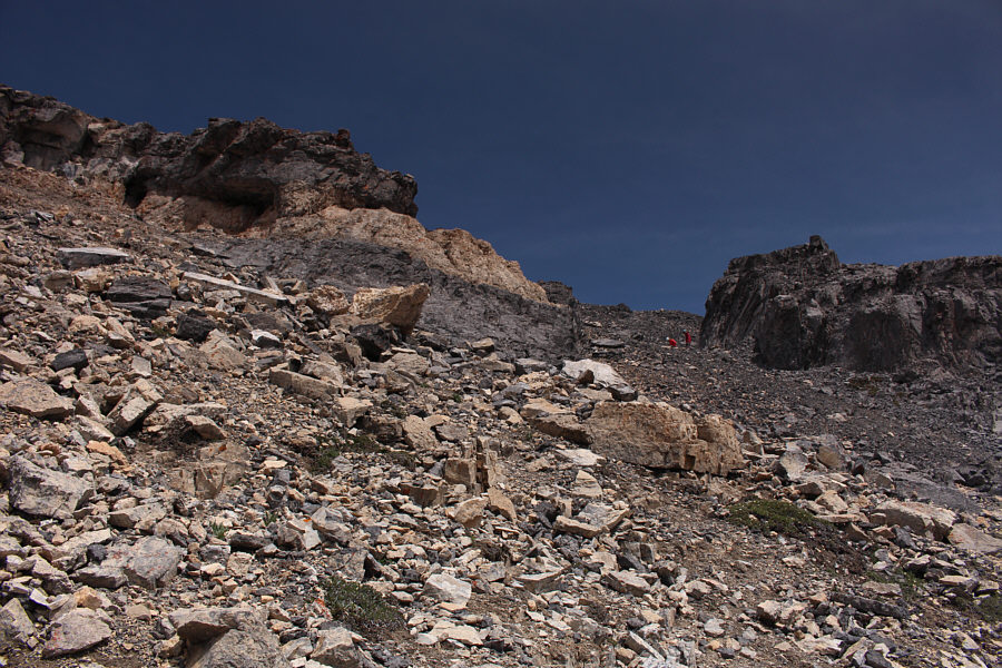
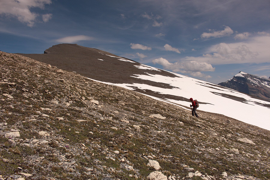
Zosia hikes up easier terrain on the upper mountain. |
|
|
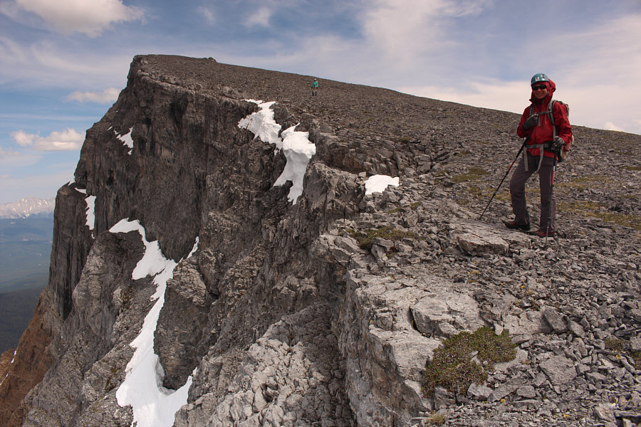
The north side of Boom Mountain is characterized by precipitous cliffs. |
|
|
Sonny enjoys the view of Boom Lake from the summit ridge of Boom
Mountain. Photo courtesy of Zosia Zgolak |
|
|
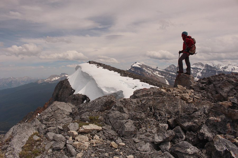
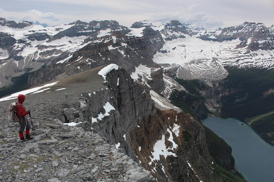
As Zosia reaches the top of a false summit, Marta is already sitting on the true summit in the distance. |
|
|
Sonny, Zosia and Marta stand on the summit of Boom Mountain (2753 metres). |
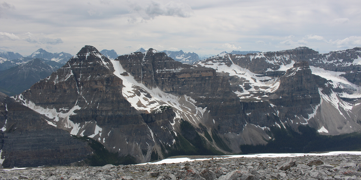
Mount Whymper (left) is the most easily recognizable peak to the southwest.
 |
The numerous peaks of Mount Goodsir peek over the intervening ridge to the west. |
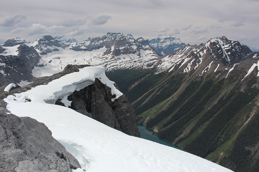 |
Boom Lake is nearly obscured by cornices in this view to the northwest. More readily visible are Quadra Mountain (centre), Mount Temple (right) and Mount Bell (far right). |
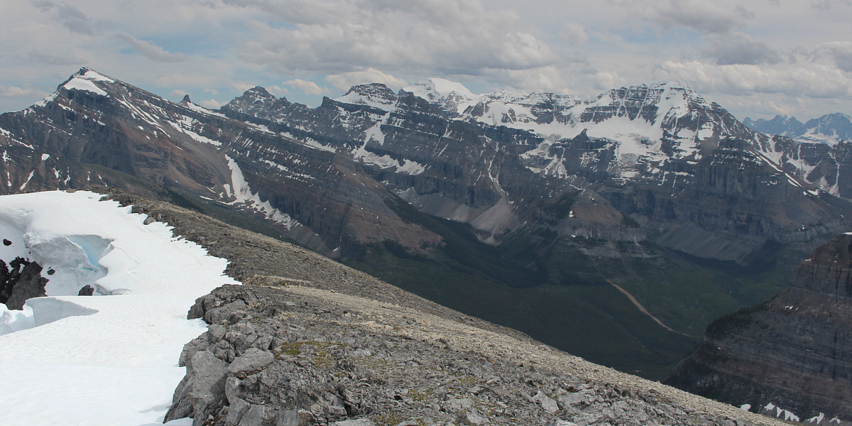
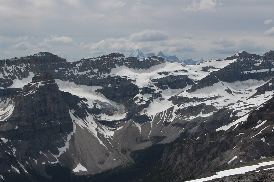
The panorama to the southeast includes Storm Mountain (far left), Mount Ball (centre) and Stanley Peak (right).
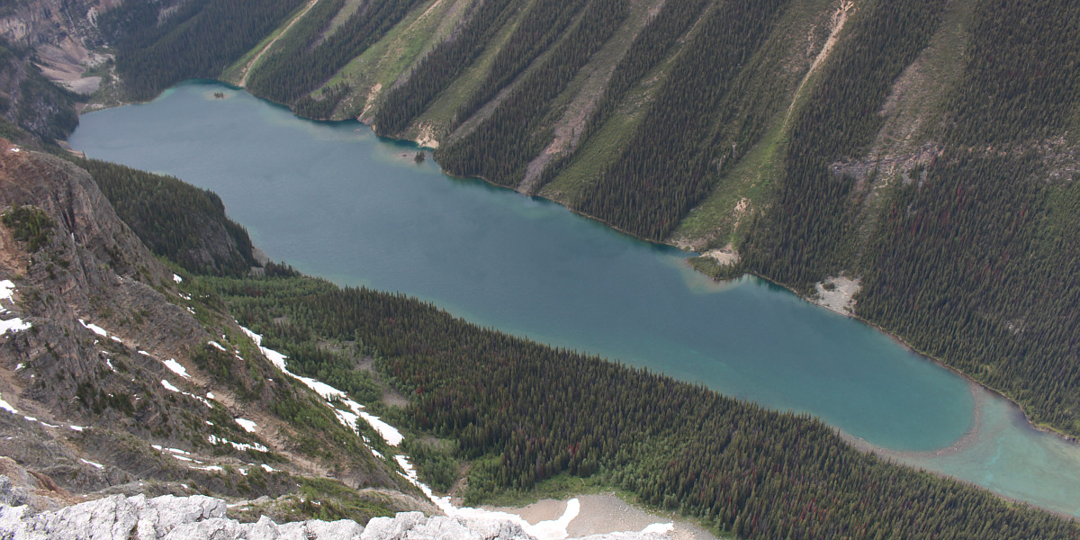
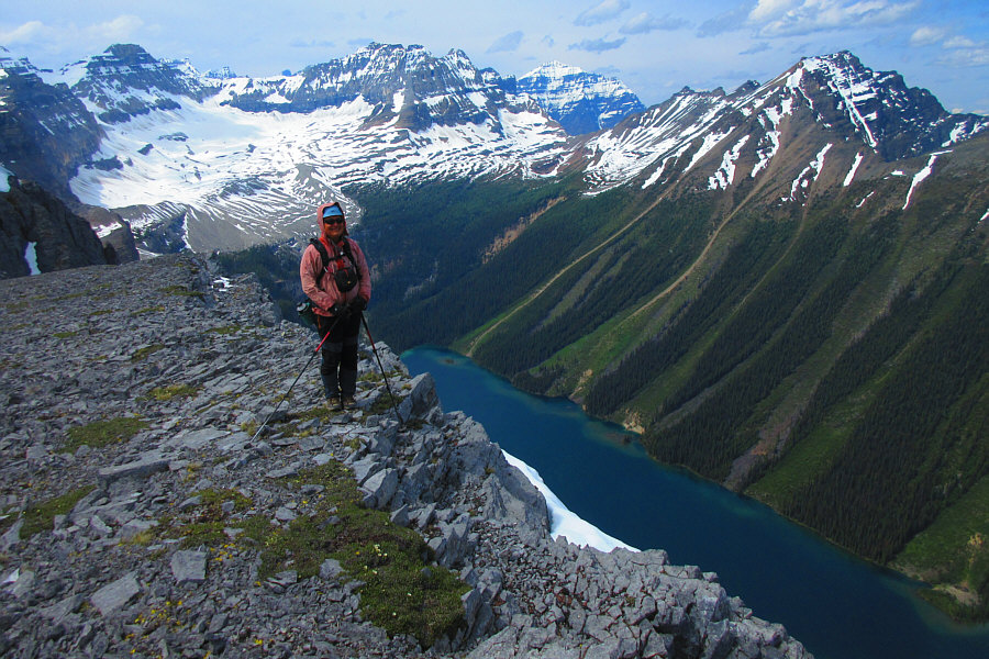
Here is a more comprehensive view of Boom Lake from lower on Boom Mountain's summit ridge. Note the crescent-shaped collection of driftwood at lower right from which the lake derives its name.
 |
Zosia takes one last look at the amazing scenery to the northwest before following Marta down the summit ridge. |
 |
Marta watches as Zosia carefully descends a steep slope of loose rubble. |
 |
Zosia follows Marta across a treacherously slippery section of hard-packed dirt. |
 |
Zosia and Marta hike out Chickadee Valley. |
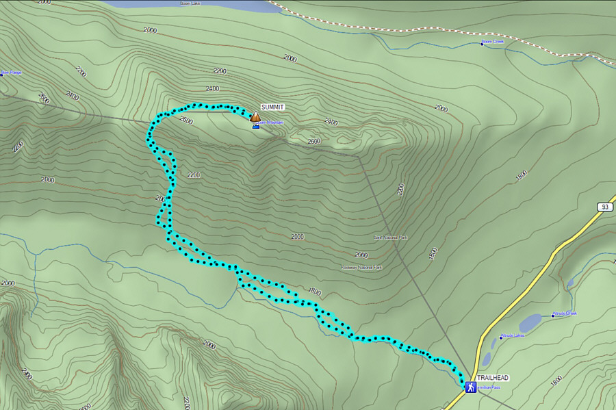 |
Total
Distance: 14.6 kilometres Round-Trip Time: 12 hours 25 minutes Net Elevation Gain: 1112 metres |