BOU AVENUE
Death's Head (Mesa Butte)
Taking advantage of some nice weather on 31
October 2020, Zosia Zgolak organized a large Halloween-themed group hike
to the ridge unofficially known as Death's Head (but officially named
Mesa
Butte) in Kananaskis Country Public Land Use Zone just west of
Millarville, Alberta. Joining Zosia and me were Andrea Battistel,
Andrew Chinnick, Daniel Dufresne, Peter Henostroza, Wendy Kadar (and her
dog Ruthie), Shaun Luong, Shelley Milutinovic, Bob Parr, Aga Sokolowska,
and Wil Tabak. While the hike to Death's Head is described in
Gillean Daffern's Kananaskis Country Trail Guide, we took most of
our inspiration from Bob Spirko's 2018
trip report. After rendezvousing at North Fork Provincial
Recreation Area (located along Highway 549, 17 kilometres west of the
junction with Highway 22), we all turned onto Gorge Creek Trail and drove
an additional 4.3 kilometres to Spirko's starting point. Gorge
Creek Trail has been permanently closed to vehicular traffic between Ware
Creek Provincial Recreation Area and Gorge Creek trailhead since
2005,
but this does not directly affect the access to Death's Head.
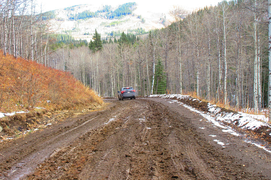
However, the section of road that is still open was a frozen mud track on
this day, and although we had no problems driving it in the morning, some
of us were already concerned about conditions later in the day when the
mud would likely thaw out. Parking is somewhat limited at Spirko's
starting point, and although there was already a truck there when we
arrived, we somehow managed to squeeze in our seven vehicles without
blocking the road.
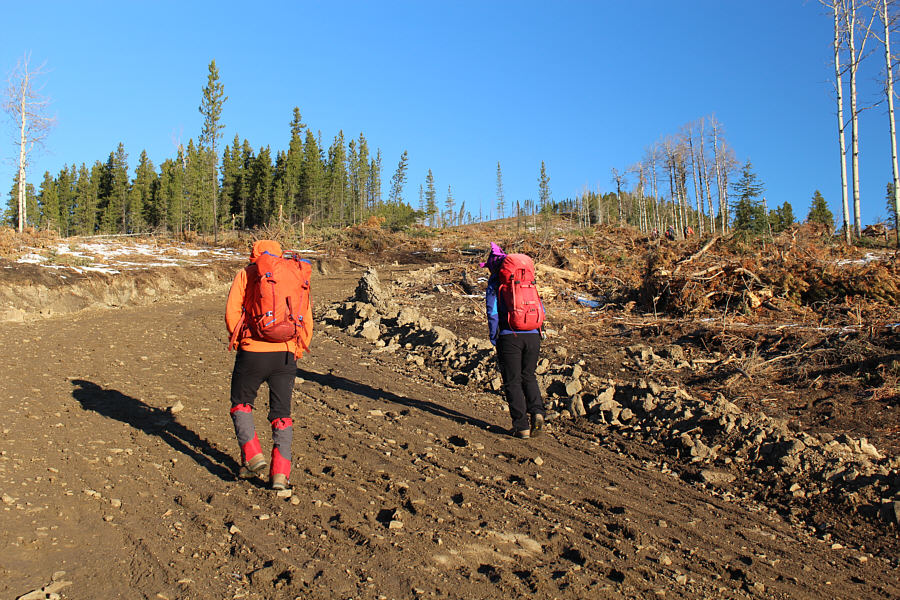
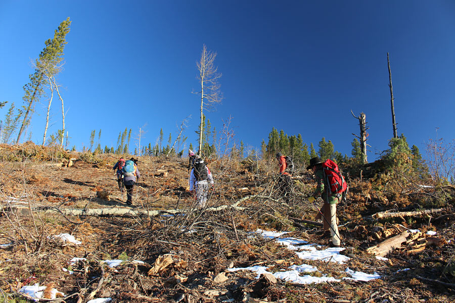
Since Spirko's 2018 trip, Death's Head has
been logged extensively, and much of the southern approach has been
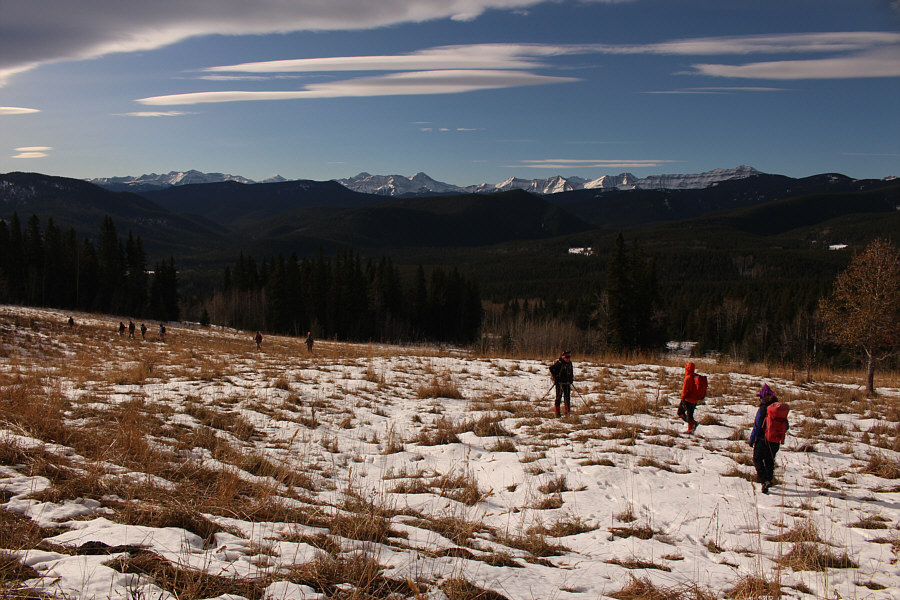
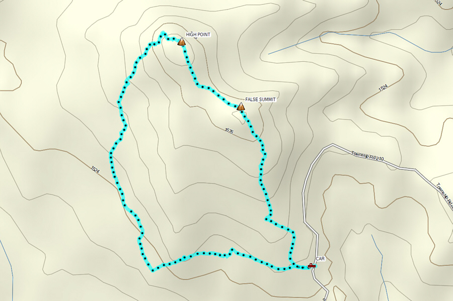
denuded of trees. Starting at a locked gate, we initially hiked
along a logging road before abandoning it to climb up a scrubby cut
block. Remnants of trails can be found here and there, but the
terrain is so open that it is impossible to get lost or go astray.
As such, we had few difficulties climbing over a false summit and
reaching the true high point of Death's Head. As we approached the
high point, a couple of hunters were heading in the opposite direction,
and they did not hide their displeasure with our group's presence there.
They were hunting for a moose in the area, and the noise from our group
had apparently chased off their prey much to their chagrin. Bob,
who was in the lead, had run into them earlier, and they had made it
clear that we were not welcomed there. Personally, I have little
tolerance for being bullied on public land and even less so by moose
hunters, and I was more than happy to see that most of our group seemed
inured to the hunters' negative attitudes.
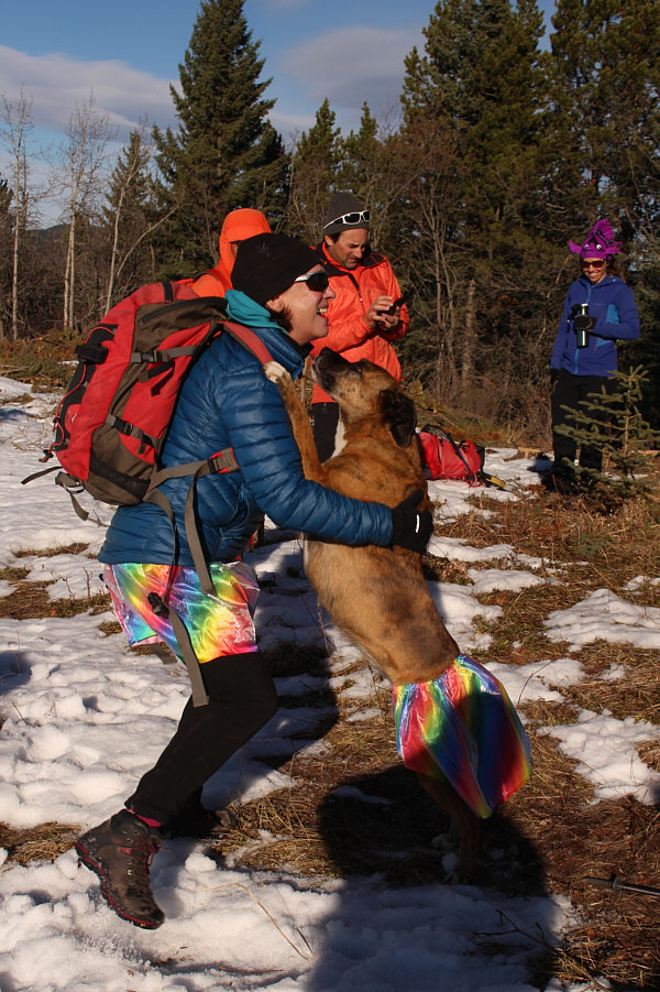
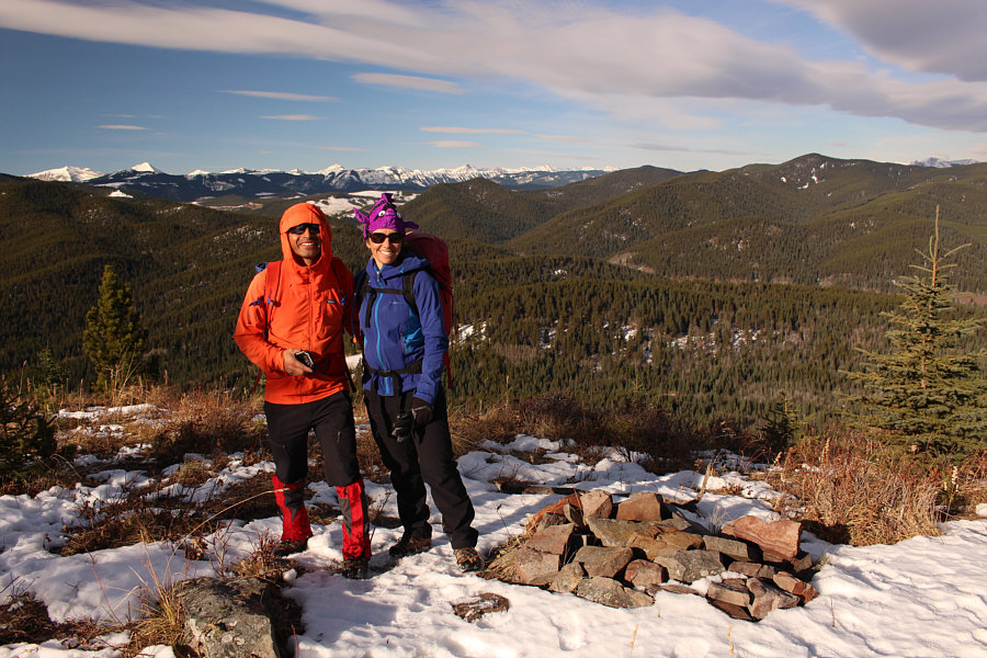
On the high point of Death's Head, we
celebrated Halloween with some amusing trick-or-treating before resuming
hiking. Bob was most concerned about driving out Gorge Creek Trail
with his car, and he decided to quickly retrace his steps back the way we
came in order to try and beat the thawing of the road (he successfully
made it out and subsequently went for a second hike by himself up nearby
Square Butte).
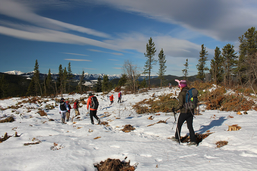
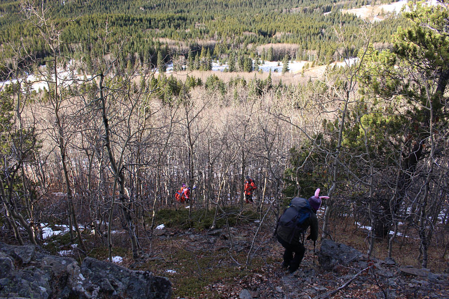
The rest of us headed northwest for about a hundred metres to visit a
scenic viewpoint before dropping down wooded slopes to the west to
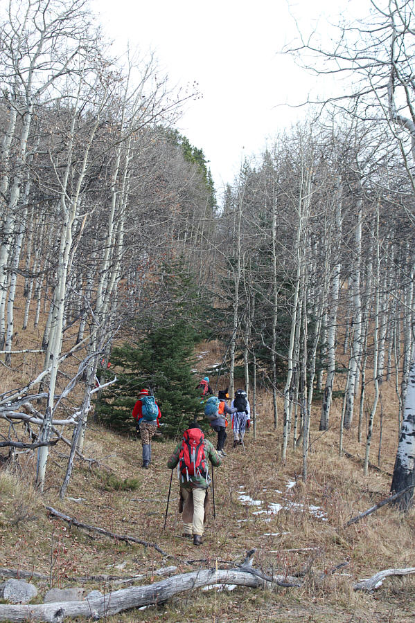
intersect North Fork Trail. Upon gaining the trail, we followed it
southward for about a kilometre before turning east to climb up a steep
cut line. Where the cut line crests a ridge, we took another
extended break for lunch before crossing a cut block and shallow ravine
to regain the same logging road that we had started hiking on at the
beginning. Even as we walked back to our cars, we could tell that
the muddy ground had thawed which did not bode well for our drive out.
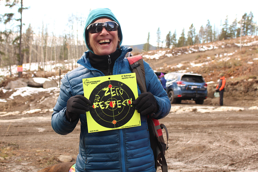
Back at our cars, we noticed that the truck
belonging to the hunters was gone, but they had left us a rather
unfriendly note on one of our windshields. We all had a good laugh
and were grateful that the hunters did not shoot holes in all our
vehicles! The scariest part of the day though turned out to be
driving out Gorge Creek Trail. Just as Bob had feared, the frozen
mud had thawed which made the mostly downhill drive back to North Fork
Provincial Recreation Area dangerously slippery. Fortunately, we
all made it out safely without any incidents, and at the junction with
Highway 549, everyone stopped for a final round of jovial socializing
before parting ways and heading home.
A big thank you goes out to Zosia for
organizing this special Halloween hike which turned into an excellent
occasion to reconnect with so many friends. Although Death's Head
itself is a rather forgettable hiking objective, the fabulous weather,
the amazing costumes and the great company all made this a most memorable
adventure.
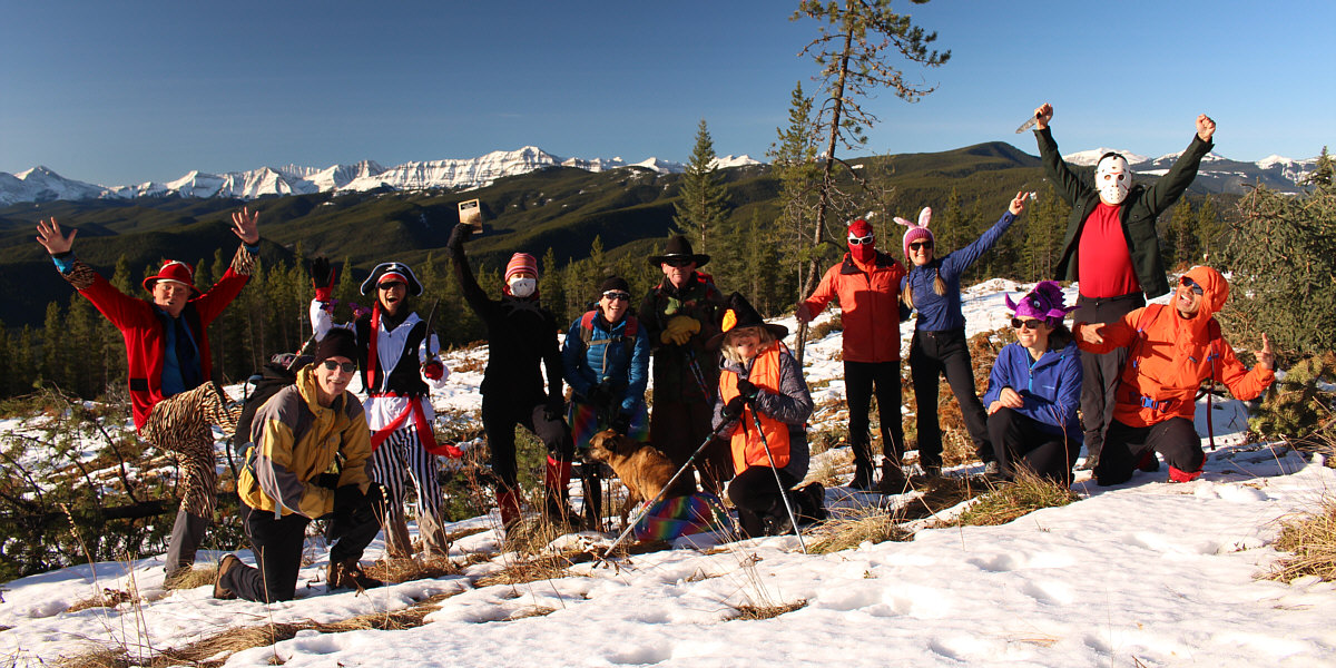
On the high point (1729 metres) of Death's Head are (L
to R) Wil, Bob, Shaun, Zosia, Wendy, Ruthie (Wendy's dog), Andrew,
Shelley, Daniel, Aga, Andrea, Sonny, and Peter.