BOU AVENUE
Ginger Hill And Byron Hill

Kicking off the Victoria Day long weekend on 16 May 2020, Ben Hann, Shaun Luong, Marta Wojnarowska, Zosia Zgolak and I hiked up Ginger Hill and Byron Hill near the eastern boundary of Alberta's Castle Provincial Park.  Access to these two hills is somewhat tricky given their close proximity to private land to the east, and as such, I conceived of a route that would start from a gas well road inside the provincial park boundary to the west.

Turn west onto Township Road 6-5 (Tapay Road) from Highway 507 about 8.9 kilometres south of the junction with Highway 3 or 5.2 kilometres north of the junction with Highway 774.  Tapay Road is a gravel/dirt road which is generally suitable for 2WD vehicles in dry conditions.  Drive west for 14.0 kilometres to a junction with a Shell gas well road just inside the Castle Provincial Park boundary.  Turn right and park at a locked gate 700 metres further up the gas well road.

Passing the locked gate, we walked up the continuation of the road for about two kilometres to the second of three gas well installations.  Here, we left the road and dropped down an overgrown cut line heading roughly due east (ignore the left-hand cut line heading northeast).  This cut line is not well-defined in some places, and a few marshy spots as well as a small creek crossing forced us to make some minor detours.  Despite these difficulties, we managed to work our way to the northwest end of Ginger Hill, and from there, we enjoyed a relatively straightforward ascent to the top.  The actual high point of Ginger Hill is in a small stand of aspen trees not far from a huge cairn, but much of the hill top is open with the best views near the southeast end.
Good warm-up for the long day ahead! 
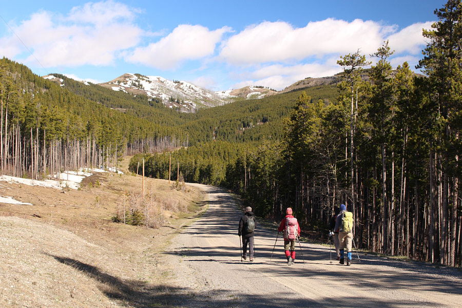
The group hikes along the Shell gas well road.
Time to leave the nice road and plunge into the murky forest! 
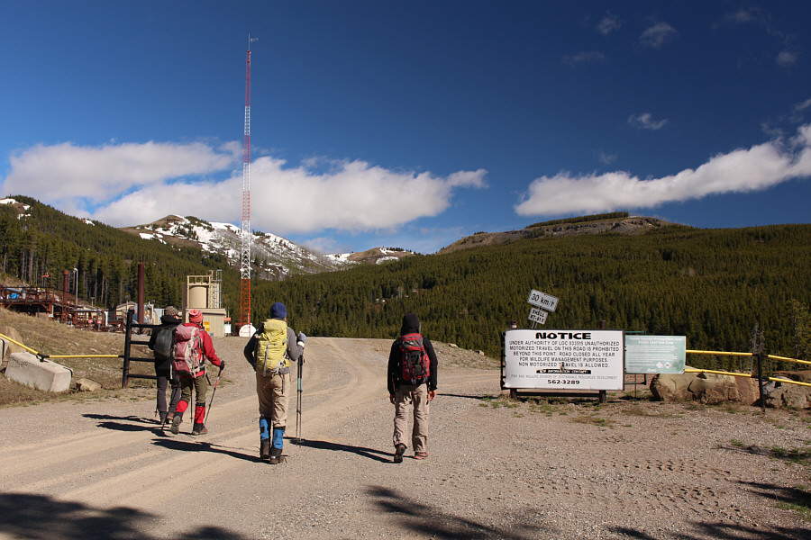
The group arrives at the second of three gas well installations along the road.
Following the cut line is not as straightforward as it looks from here! 
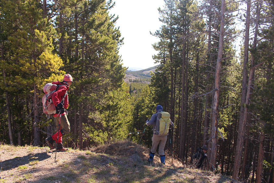
Zosia and Marta leave the gas well road to descend a cut line heading roughly due east.  The northwest end of Ginger Hill can be seen at distant centre.
I eventually gave up on the tree and found another spot to simply jump across! 
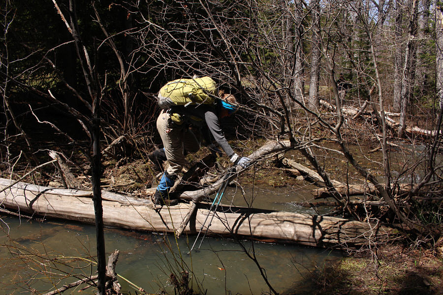
Marta takes a photo of Sonny unsuccessfully trying to cross an unnamed side creek on a downed tree.

Photo courtesy of Zosia Zgolak

Back on track! 
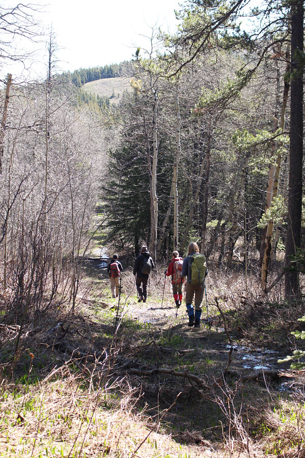
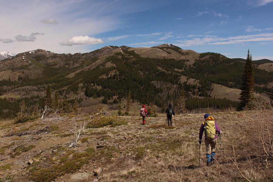
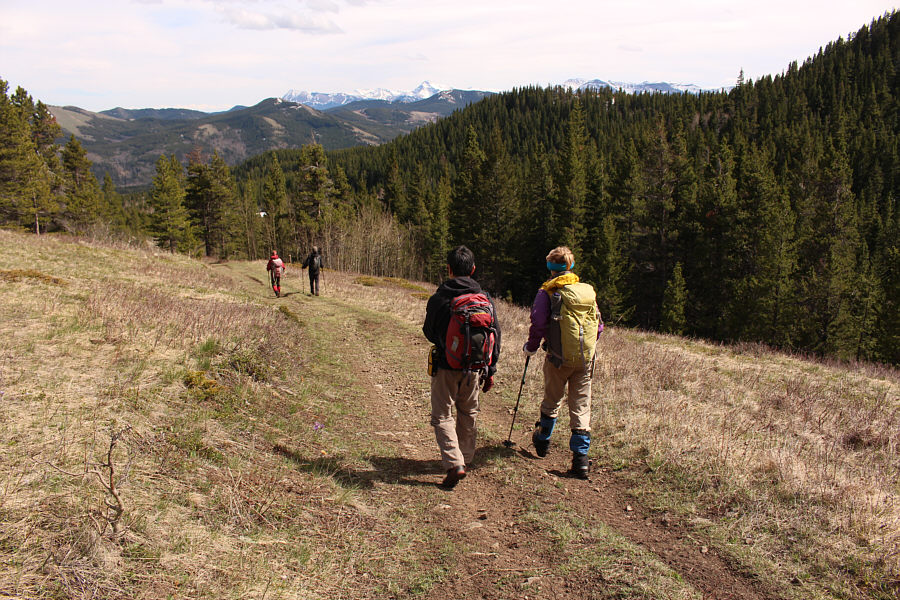
After some minor detours, the group regains the cut line leading to the northwest end of Ginger Hill.
Much better than the wet and bushy forest we just walked through! 
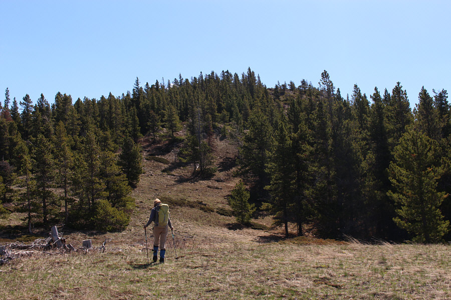
Marta hikes up the northwest end of Ginger Hill.
There are a few annoying dips on the hill top. The trees begin to thin out further up the hill.
We went to the southeast end just to make sure we tagged all the high points along the hill top! 
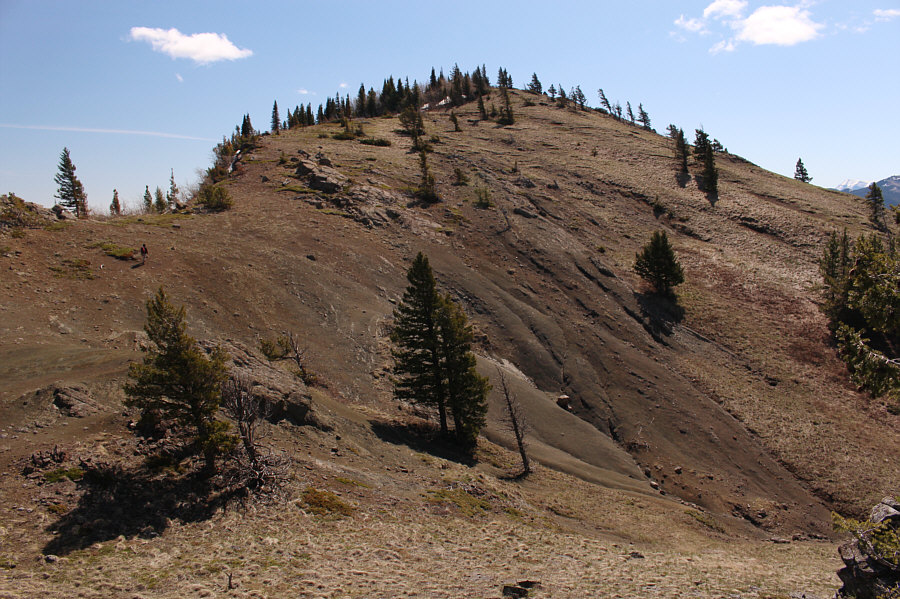
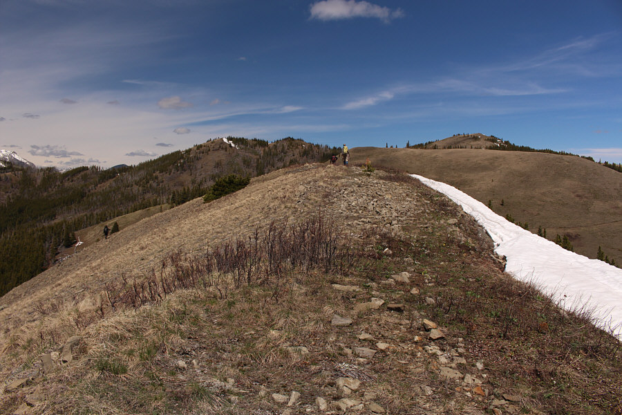
Shaun and Marta cross one of the dips along the top of Ginger Hill.  The actual high point is somewhere behind the trees on the right.  Maverick Hill is visible at far left.

Ben, your legs need to be farther apart!

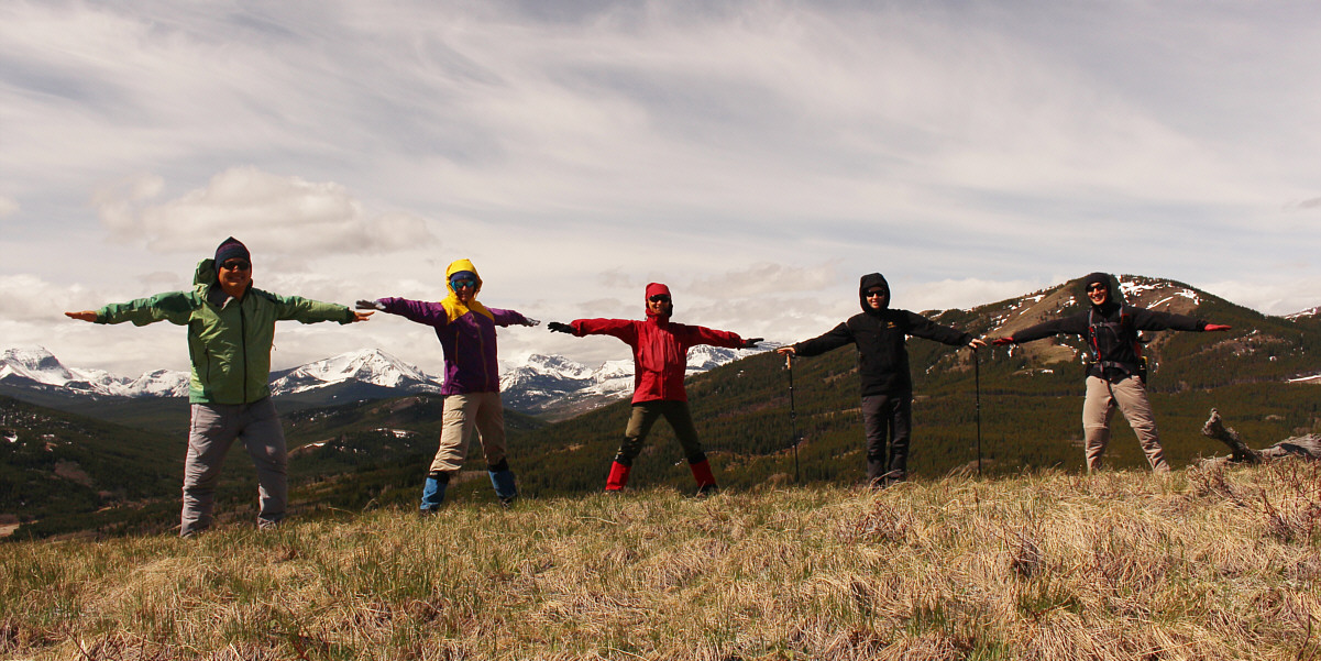
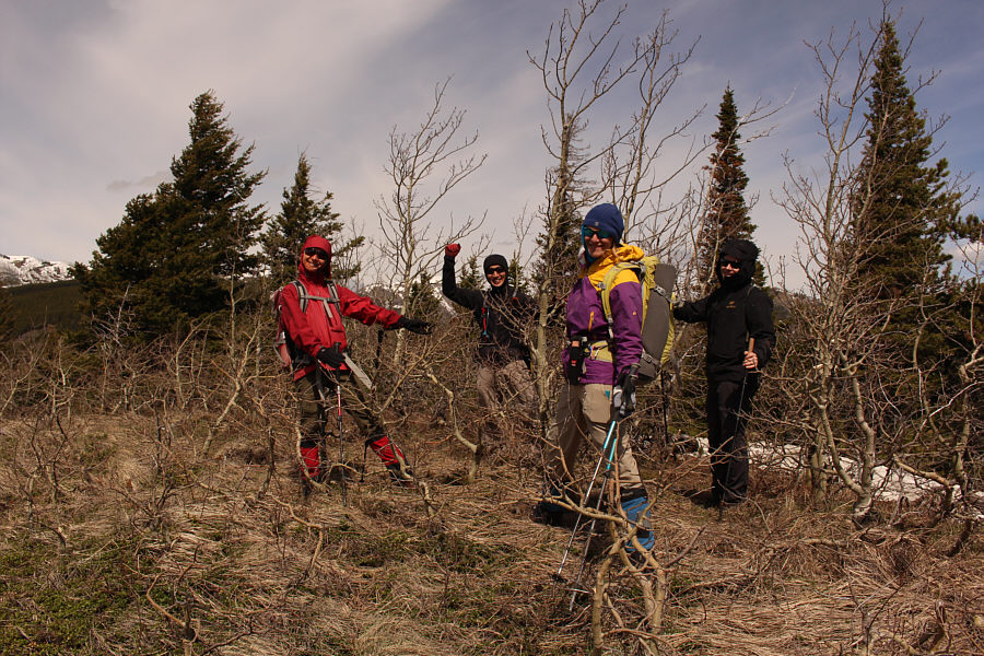
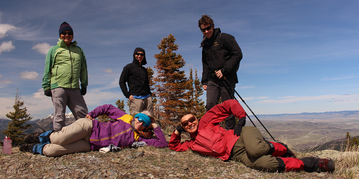
Sonny, Marta, Zosia, Ben and Shaun practice "social distancing" on the southeast end of Ginger Hill.


I guess Mount McCarty will soon be on my to-do list! 
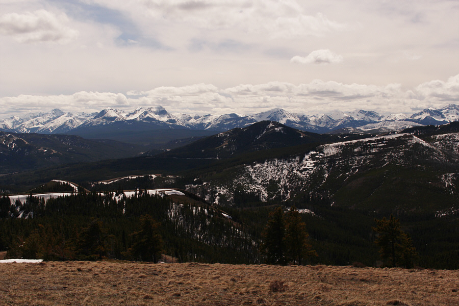
This is looking southwest into Carbondale River valley.  Notable mountains include Carbondale Hill (far left), Syncline Mountain (left of centre), and Mount McCarty.

I should really re-climb Crowsnest Mountain with Zosia one of these days...

Northwest of Ginger Hill is a unique perspective of Crowsnest Mountain which is visible through the gap between Hillcrest Mountain (left) and Turtle Mountain (far right).


Sigh...another nebulous summit! Zosia, Shaun, Marta and Ben gather around what is probably the actual high point of Ginger Hill (1611 metres).
From the top of Ginger Hill, we dropped back down its northwest end to pick up an exploration road which is the continuation of the cut line we used for our approach.  We descended the road to the east and crossed Jackson Creek before turning northward along the park boundary fence line.  Besides surmounting or circumventing a couple of false summits on the way up the south side of Byron Hill, we had to contend with some lingering deep snow patches along the way.  As such, our ascent of Byron Hill proved to be more strenuous and complicated than I had anticipated.  Nevertheless, we managed to grind our way to the top eventually.

Originally, I had an ambitious plan to complete a loop from Byron Hill by connecting with Poker Peak and Maverick Hill to the west (hence, our starting point along the gas well road at the foot of Maverick Hill).  From the top of Byron Hill, we could see that there was still a lot of snow clinging to the northeast aspect of Poker Peak, and given how much trouble we had with the snow patches we had already encountered, we all decided that it was best to save Poker Peak and Maverick Hill for another day.  However, backtracking the way we came was just as unsavoury, and in the end, we decided to make a beeline for Tapay Road which we could see to the southeast.  This descent turned out to be very straightforward as we dropped down off the hill top to pick up a southeast trending exploration road.  This road ultimately intersects with a good 2WD gravel road which, in turn, descends to a junction with Tapay Road.  It should be noted that this descent route entails the crossing of presumably private land, and as such, I cannot endorse it even though we did not, at anytime, see any "no trespassing" signs.  Upon reaching Tapay Road, we turned westward and settled into a rather long but uncomplicated walk back to our starting point.
The approach from the south is more complicated than it looks from here. 
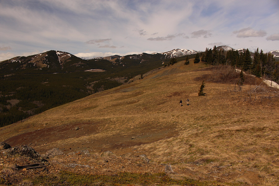
Near the northwest end of Ginger Hill, Zosia, Ben and Marta survey the south side of Byron Hill.  They would eventually climb up the partially forested ridge just left of centre.
Yep, it was stinky, so we hastily vacated the area. 
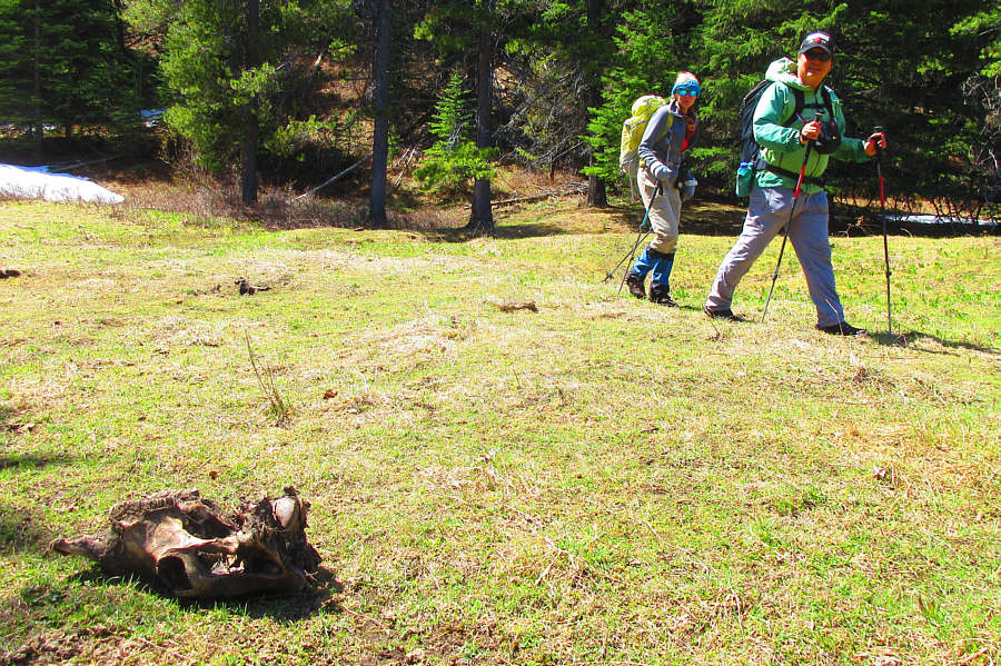
Marta and Sonny keep their distance from what appears to be a rotting cattle skull which can attract predators such as bears.

Photo courtesy of Zosia Zgolak

Who has an axe handy? Marta makes an awkward crossing of Jackson Creek.
Seemed like a lot of effort to get from Ginger Hill to here... Zosia climbs a ridge on the south side of Byron Hill.  Ginger Hill is behind her to the right.
We would circumvent the second false summit. 
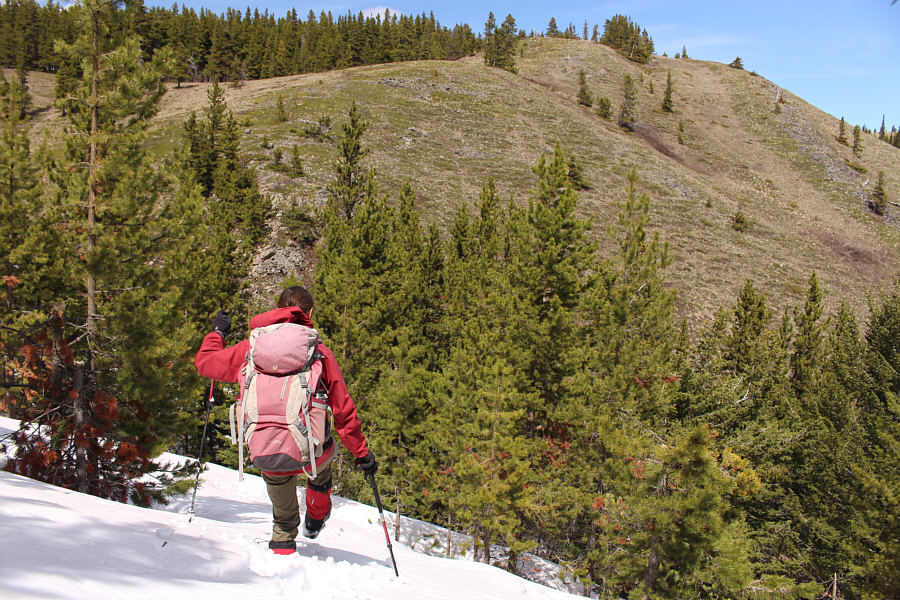
The group climbs over the first of two false summits en route to the top of Byron Hill.
Our last real obstacle of the day. Zosia plunge-steps down a steep snow slope just beyond the second false summit.
I'd rather be skiing! 
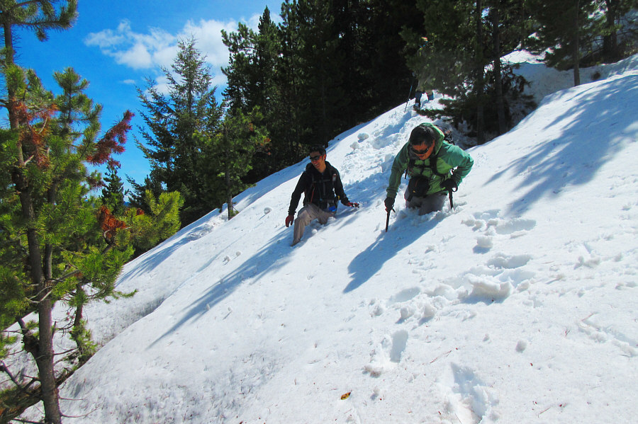
Shaun and Sonny flounder in the lingering deep snow.

Photo courtesy of Zosia Zgolak

It was a bit of a grind, but we're almost there! 
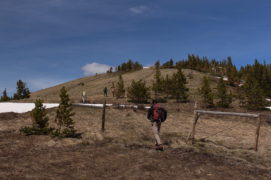
The group passes an opening in a barbed wire fence just before the top of Byron Hill.

Polish girls know how to pose best!

Sonny, Marta, Shaun, Zosia and Ben gather on the high point of Byron Hill (1837 metres).


I hope to get around to climbing both of these later this year... To the north, Centre Peak and Caudron Peak are the two bumps on the right.
Can you spot Mount Ptolemy? Hillcrest Mountain and Turtle Mountain are once again visible to the northwest.
I think it was a good call NOT to go for Poker Peak and Maverick Hill on this day! 
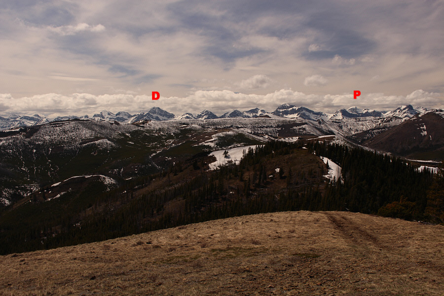
To the west, notable peaks along the Continental Divide include Mount Darrah (D) and Mount Ptolemy (P).  Note the amount of snow plastering most of Hastings Ridge in the middle foreground.
Sorry, but Maverick Hill will have to wait for another day. 
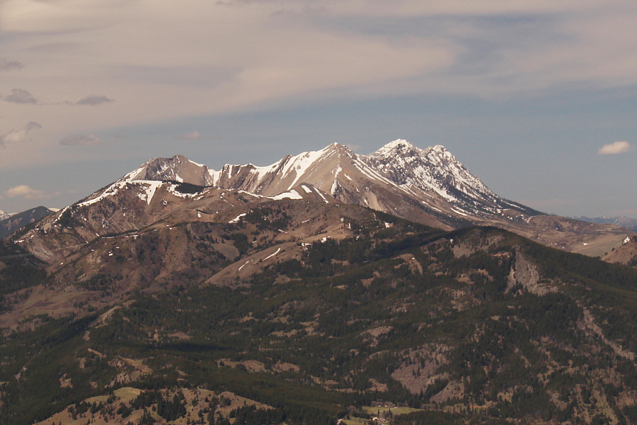
The view to the southwest includes Mount Haig (far left), Syncline Mountain (left), Maverick Hill (centre foreground), and Mount McCarty (behind Maverick Hill).

Had it not been so windy, we might have lingered a bit longer at the top.

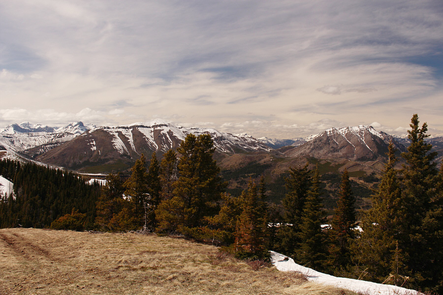
The group begins to descend from the top of Byron Hill.  Part of Tapay Road is visible just left of centre in the photo.  Victoria Peak (far left) and Castle Peak (left of centre) are also visible on the horizon.


About to enter private land here so walk softly and quickly! The group follows an exploration road down the hill.
Had we known we were going to be returning this way, we could have set up a car shuttle...doh! 
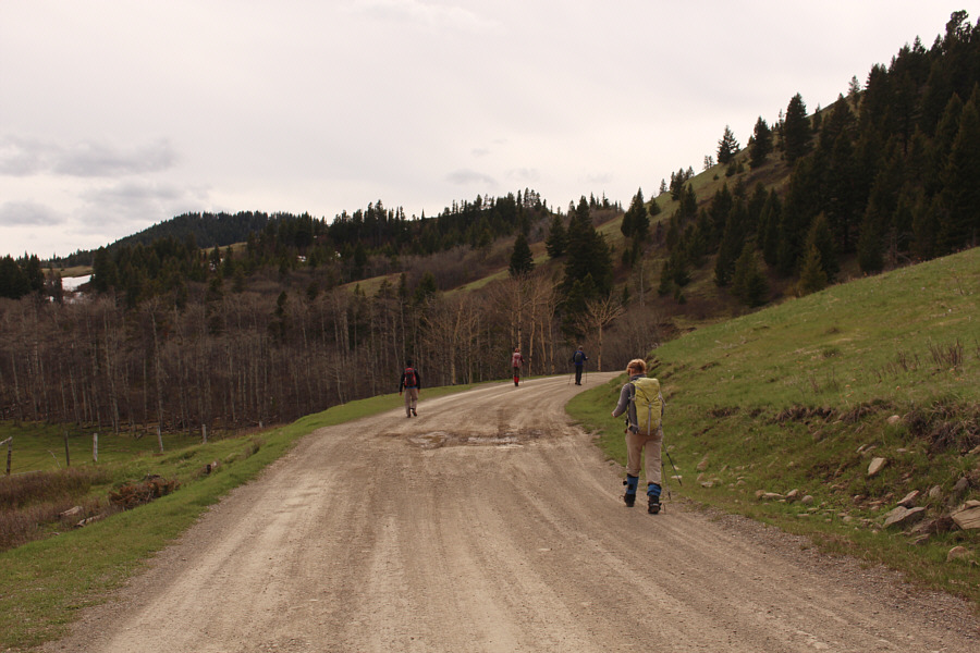
The group walks along Tapay Road to get back to their starting point.
This would be a much simpler trip if access wasn't such a big issue! Total Distance:  20.2 kilometres
Round-Trip Time:  9 hours 14 minutes
Total Elevation Gain:  1084 metres

GPX Data