 |
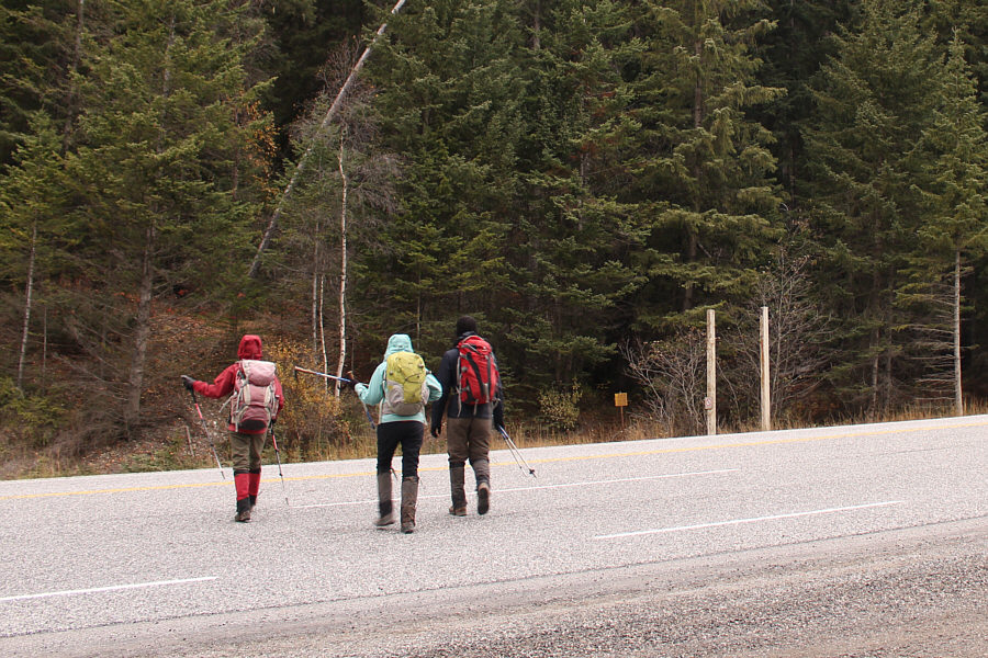
Zosia, Asieh and Ali cautiously cross the highway to the signed trailhead. |
 |
The trail to Kindersley Pass has a seasonal restriction in place from May 1 to November 30 where hiking with less than four persons is prohibited. |
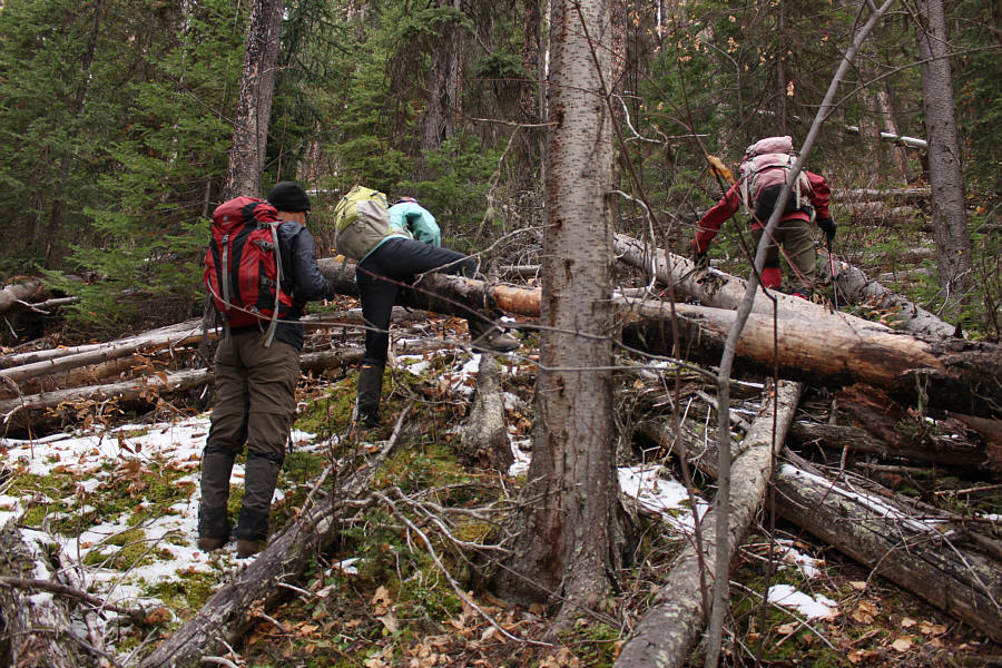 |
After leaving the trail, Ali, Asieh and Zosia bushwhack uphill through lots of deadfall. |
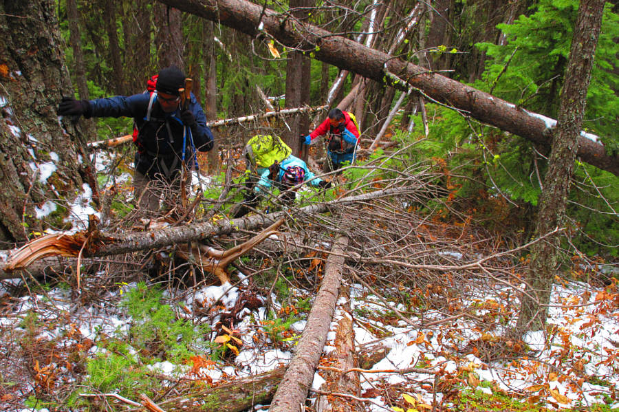 |
Ali, Asieh and Sonny thrash their way
through another tangle of fallen trees. Photo courtesy of Zosia Zgolak |
 |
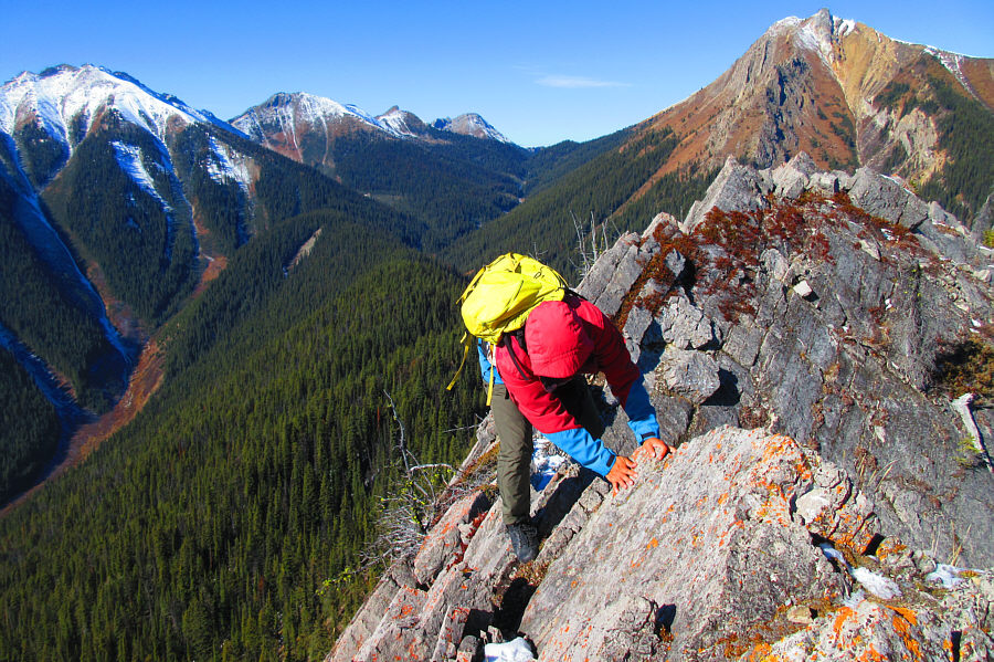
Nearly 1.5 hours after leaving the trail, Zosia, Ali and Asieh scramble up a rocky section just below the crest of Lookout Point's south ridge. |
 |
Zosia, Ali and Asieh make better progress up Lookout Point's south ridge. |
 |
The summit block of Lookout Point is characterized by tilted slabs. |
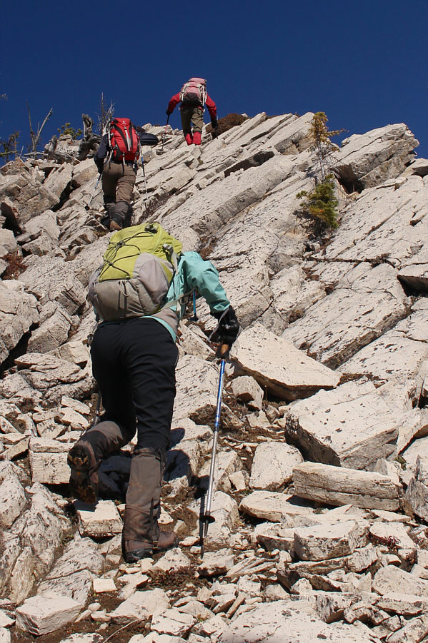 |
The scrambling on the summit block is easy to moderate. |
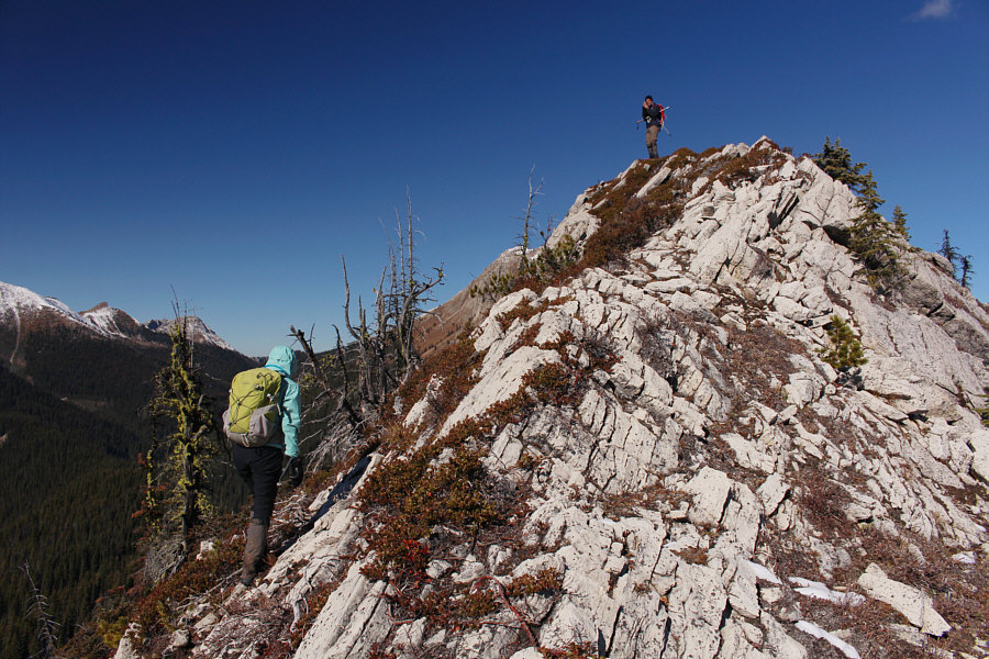 |
Near the top, Ali waits for Asieh to catch up. |
 |
The top of Lookout Point is comprised of two summits of roughly equal height. Asieh takes the last few steps here before joining Ali and Zosia at the south summit. |
 |
The summit ridge is quite airy. |
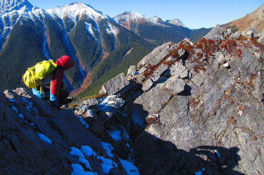 |
The traverse to the north summit
entails crossing a short but exposed section of ridge. Photo courtesy of Zosia Zgolak |
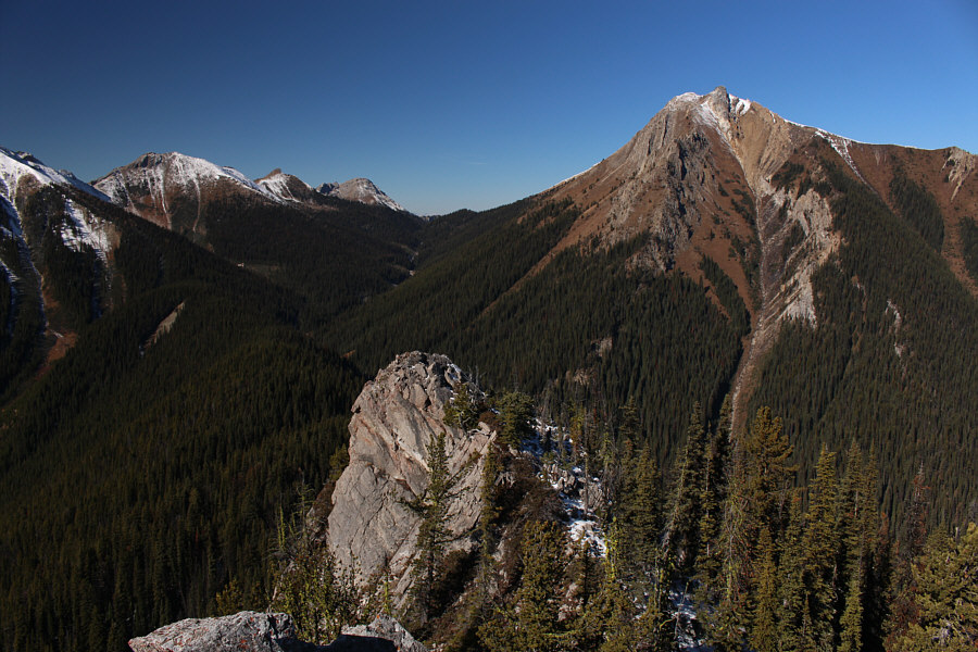 |
Here is the view of Kindersley Pass and the double peaks (right) at GR720167 and GR719167 from the north summit of Lookout Point. |
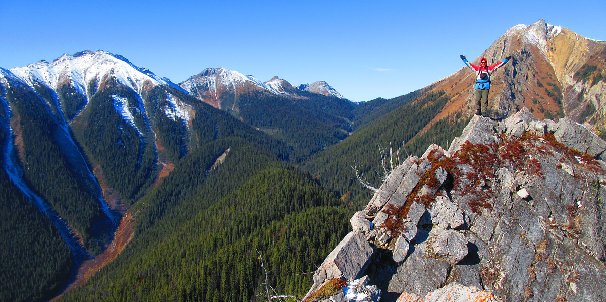
Sonny stands atop the north summit (2210 metres) of Lookout Point.
Photo courtesy of Zosia Zgolak
 |
Ali, Asieh and Zosia hang back at the south summit. |
 |
Sonny carefully makes his way back
across the connecting ridge between the two summits. Photo courtesy of Zosia Zgolak |
 |
Sonny, Zosia, Asieh and Ali relax on the south summit (2210 metres) of Lookout Point. |
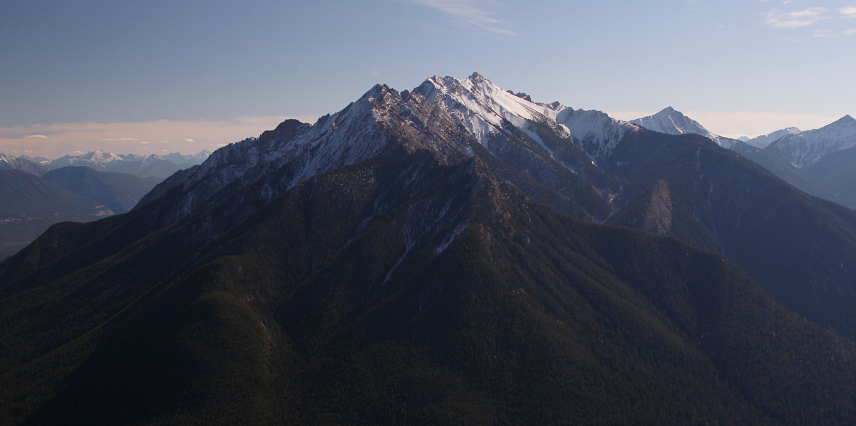
Mount Sinclair dominates the view to the south.
 |
Sonny, Asieh and Ali descend the
summit block. Photo courtesy of Zosia Zgolak |
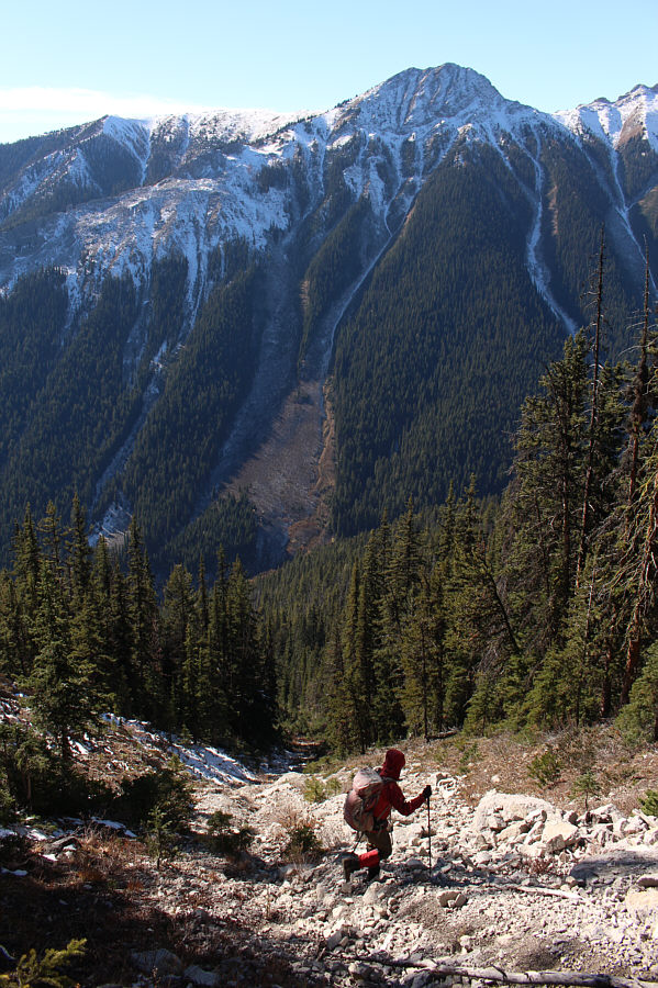 |
Zosia enters a rocky drainage just below the summit block. |
 |
Asieh, Ali and Zosia encounter far less deadfall on their descent. This route would be a superior approach for ascending Lookout Point. |
 |
Ali, Asieh and Zosia are happy to regain the trail without too much grief. |
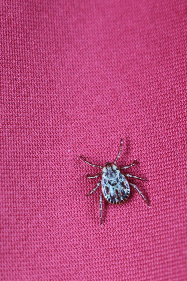 |
This wood tick is hitching a ride on Sonny's jacket. |
 |
Total
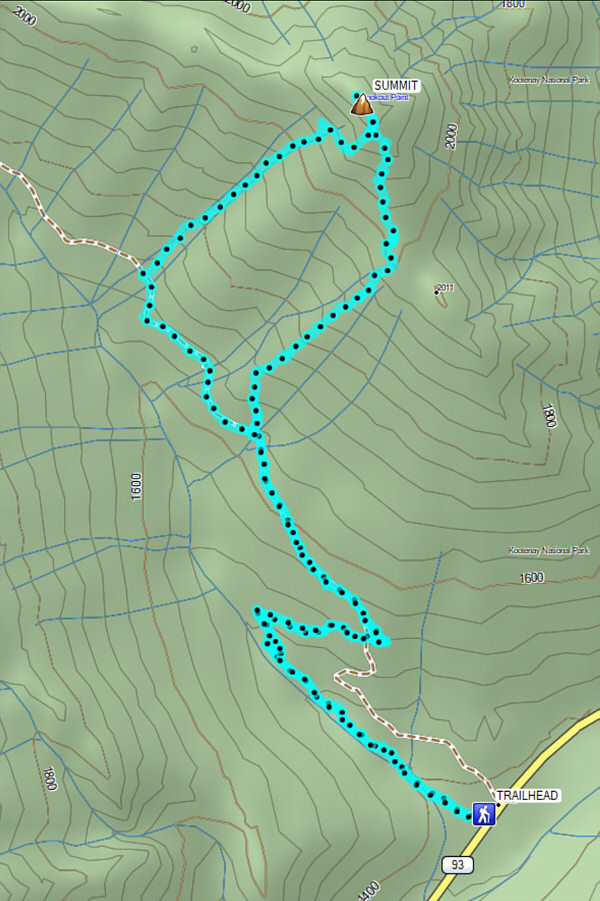
Distance: 8.9 kilometres Round-Trip Time: 6 hours 31 minutes Net Elevation Gain: 873 metres |
