
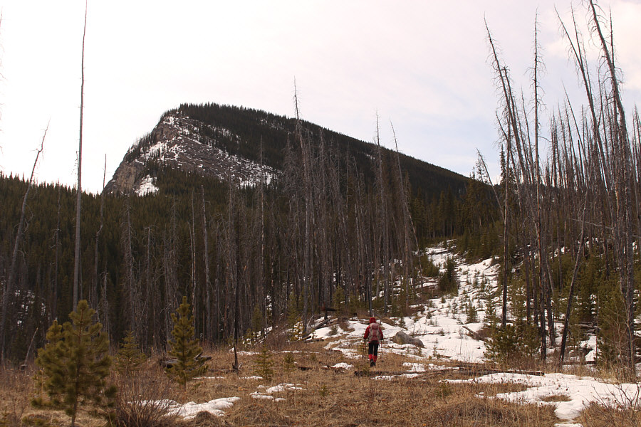
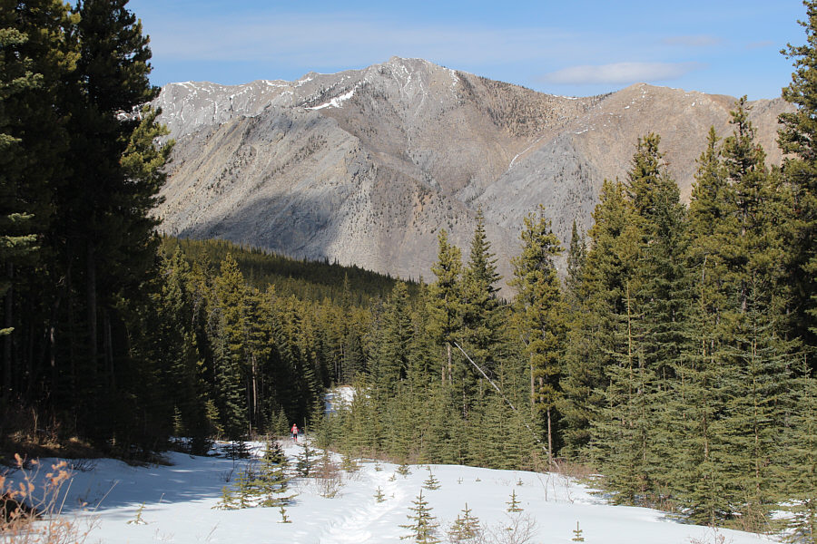
Here is the steep northeast face of Mount Minos as viewed from the starting point.
 |
Wearing hip waders, Zosia fords Red Deer River. Note the trolley cable above her. |
 |
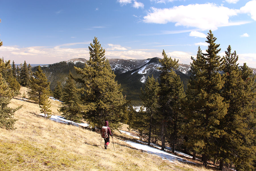
A good trail climbs away from the river and follows this reclaimed road up the slope. |
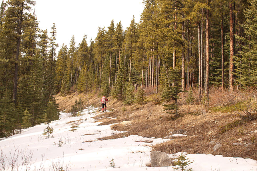 |
Despite some snow cover, the reclaimed road is fairly easy to hike on this day. |
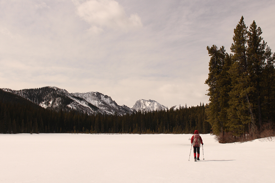 |
Zosia walks on a frozen unnamed lake located southeast of Mount Minos. |
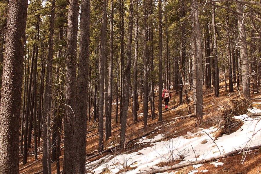 |
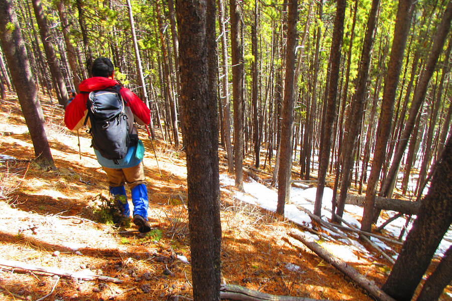
Zosia climbs up the south end of Mount Minos through forest. |
 |
Zosia climbs up the crest of the south ridge. |
 |
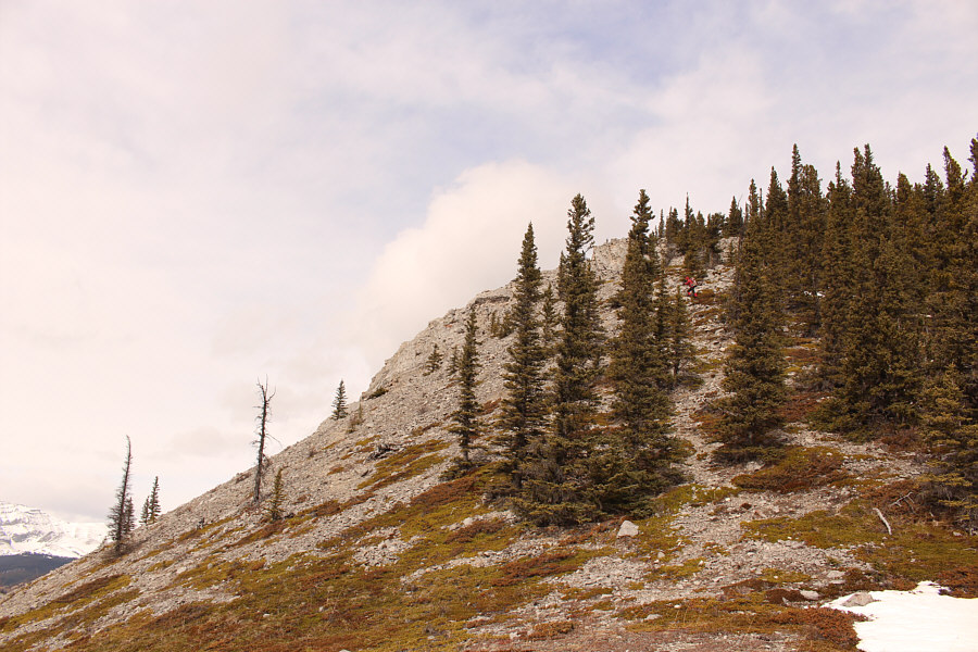
This rock band across the ridge is easy to overcome. |
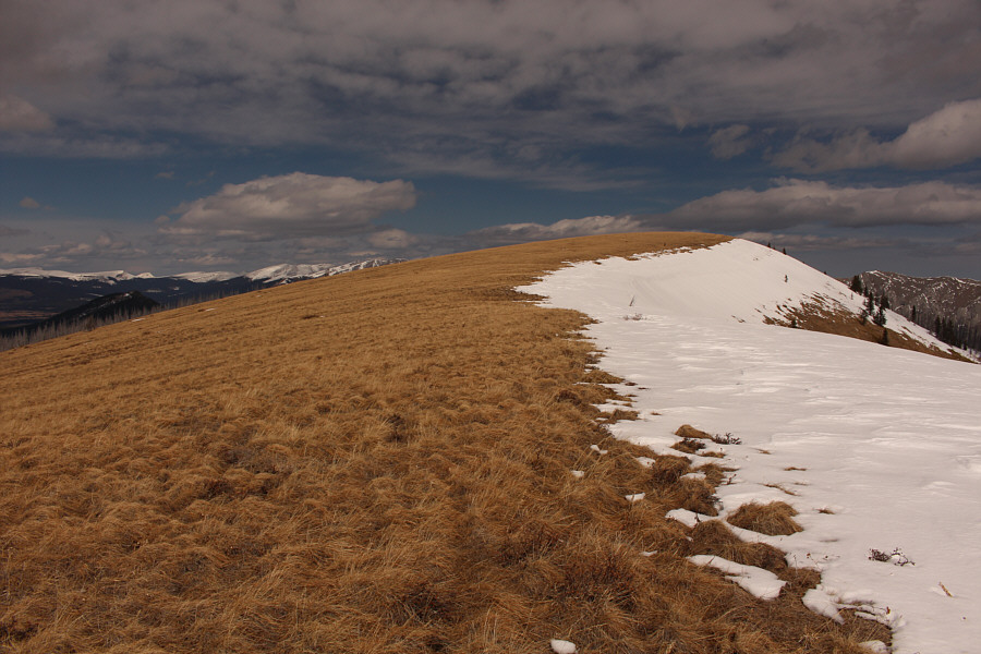
The south ridge opens up nicely for an easy hike.
 |
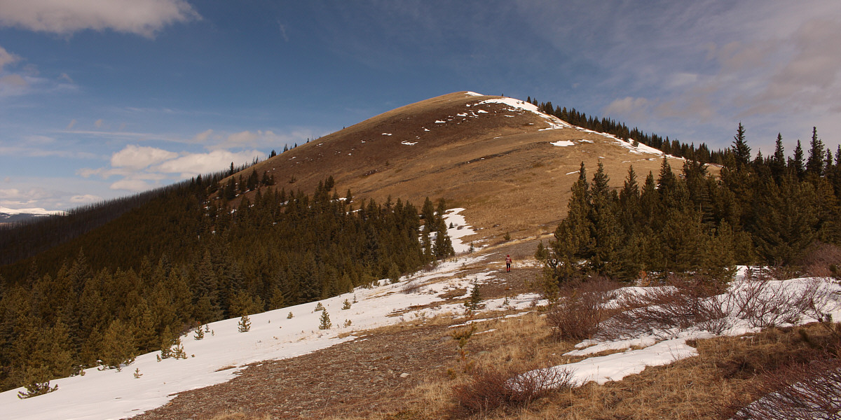
The top of Mount Minos is a huge grassy plateau. Zosia is barely visible ahead near the edge of the snow. |
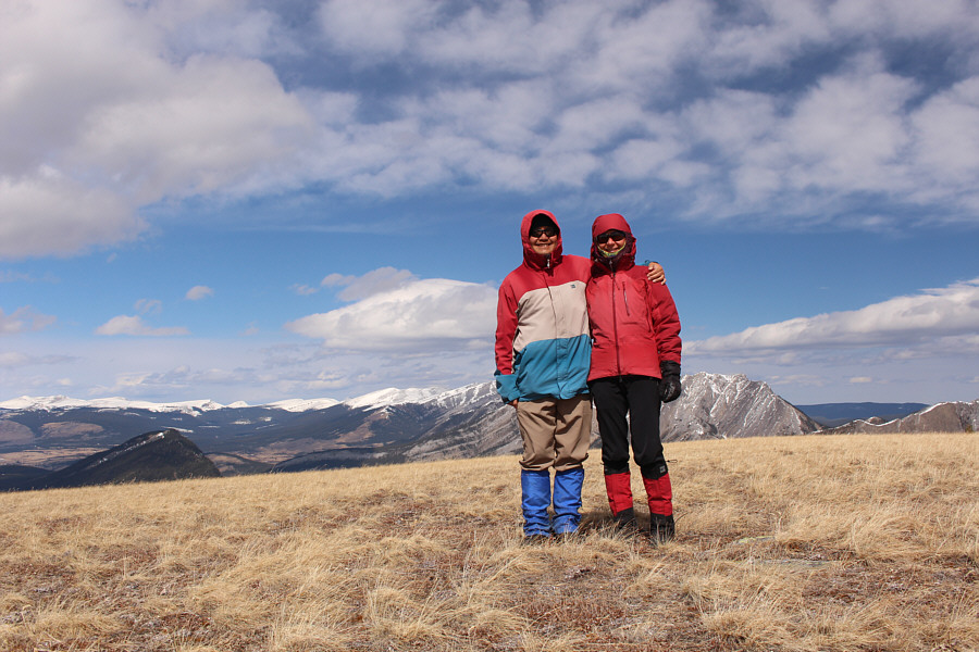 |
Sonny and Zosia stand on the approximate summit of Mount Minos (2219 metres). |
 |
Dormer Mountain sits to the southwest. |
 |
To the west is Barrier Mountain. |
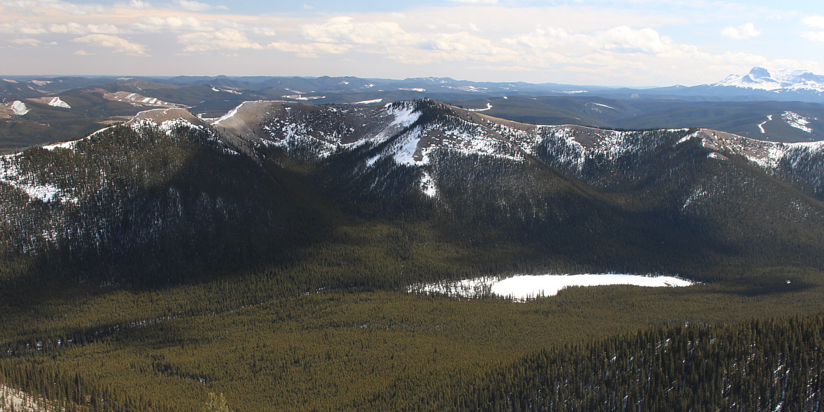
From the upper slopes of Mount Minos is this view of the unnamed lake to the southeast. The ridge immediately behind the lake is known unofficially as The Diamond.
 |
Zosia takes a short cut down the southeast aspect of Mount Minos. |
 |
The short cut descent turns out to be quite reasonable with only minimal bushwhacking and post-holing. Photo courtesy of Zosia Zgolak |
 |
Wildhorse Ridge can be seen in the background as Zosia descends the reclaimed road. |
 |
Across the valley is the access road to Ya Ha Tinda with Labyrinth Mountain visible at far left. |
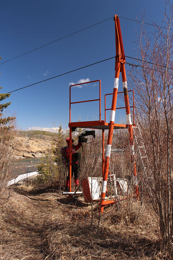 |
Zosia retrieves her hip waders from the trolley tower on the west side of the river. The unused trolley car can be seen below. |
 |
Zosia crosses Red Deer River for a second time. |
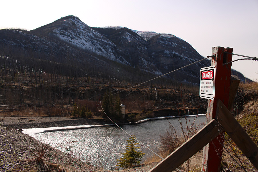 |
Here is the trolley cable support beam on the east side of the river with Mount Minos in the background. |
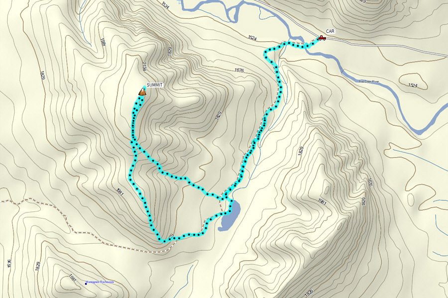 |
Total
Distance: ~13.1 kilometres Round-Trip Time: 6 hours 48 minutes Net Elevation Gain: 692 metres |