BOU AVENUE
Mustang Hills
Braving very cold temperatures, Zosia Zgolak and I did a ski tour of Mustang Hills in Alberta's Kananaskis Country Public Land Use Zone on 6 February 2021.  Described in Gillean Daffern's Kananaskis Country Trail Guide and a plethora of online trip reports, Mustang Hills are comprised of three separate bumps squeezed between Highway 66 and Elbow River.  Taking advantage of a recent dump of fresh snow, Zosia and I set off from the seasonal gate located along Highway 66 (18.5 kilometres west of the T-intersection with Highway 22) and skied five kilometres to Rainy Summit which is the highest of three access points described by Daffern.  Leaving the highway at Rainy Summit, we headed east along a flagged exploration road for about half a kilometre before turning northward to climb up a forested slope.  We soon stumbled onto a blazed trail and easily skied to the top of the west hill which is the highest point but is completely devoid of views.  From there, we continued north for a short distance before descending eastward through light forest to reach the centre hill which itself has two distinct high points (the western one is higher).  After another short descent, we traversed over the top of the east hill which is the lowest but most scenic of the three bumps.  As we descended the south side of the east hill, we ran into the four celebrated feral horses that frequent this area.  We actually spotted them earlier from the centre hill, but now we were able to get a closer look at their shaggy manes.  Skiing past the horses, we dropped down and followed their hoof prints for much of the way across a logged clearing before climbing to intersect our up-track on the west hill.  We then retraced our tracks back to the highway and settled into a long but uncomplicated ski back to the seasonal gate.  For some strange reason, we had a tough time maintaining momentum along the highway even though we were going mostly downhill.  The worst aspect though was skiing into a slight breeze which really stung our faces because of the bitterly cold temperatures.  Zosia and I felt quite frosty after being outside for less than six hours; I wonder how those horses can tolerate such extreme conditions 24/7.
It's very cold!

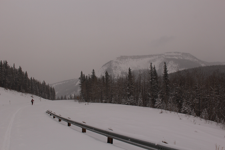
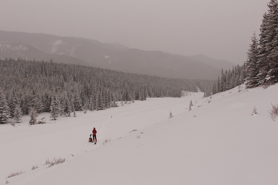
Zosia skis along the snow-covered highway to start the trip.

This is a lonely place on a cold winter day.

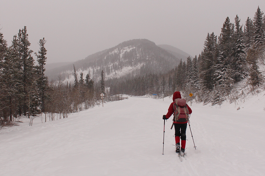
At Rainy Summit, Zosia stops to attach climbing skins to her skis.

Let's go exploring! Zosia leaves the highway and follows an exploration road.
Snowpack is still thin in a few places. Zosia abandons the exploration road and heads uphill.
An enchanted forest?

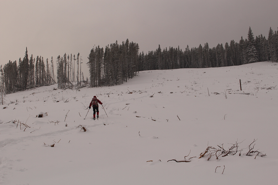
A blazed trail makes navigation easy in the forest.

Another viewless summit, but we'll take it when it's this cold!

Sonny and Zosia stand atop the west hill which happens to be the highest point (1849 metres) of Mustang Hills.

Let's go for it!

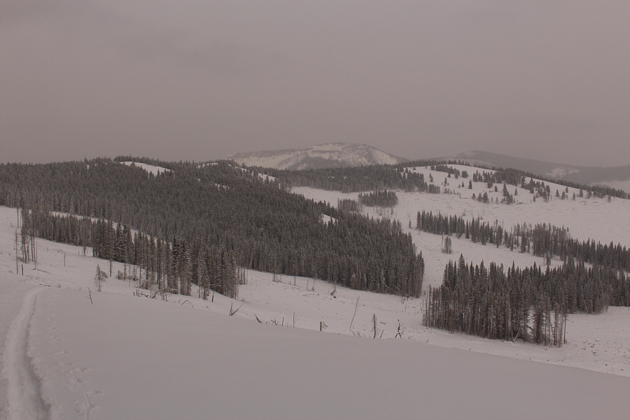
From the eastern high point of the centre hill, Zosia looks toward the east hill.

Better views here than from the highest point!

Zosia skis over the top of the east hill.  In the distance is Forgetmenot Ridge.

Look how far we've come!

The forested west hill (left) and centre hill are visible behind Zosia as she descends the east hill.

Neigh!

The celebrated feral horses of Mustang Hills do not seem to mind the cold snowy weather.


Ski touring at its finest?

Zosia makes her way across a scrubby clearing after descending from the east hill.

Thank you, horseys!

After following hoof prints across the clearing, Zosia would leave them to climb up the slope ahead.

Can you spot the horses? Here is a look back at the centre hill (left) and east hill (right).
We're going mostly downhill on the way back but still can't maintain any momentum!

Zosia skis back along the highway with Iyarhe Ipan in the background.

People still climb Prairie Mountain in shitty weather like this!

Zosia arrives back at the seasonal gate along the highway.

Kind of a fun ski...if there's enough snow! Total Distance:  15.0 kilometres
Round-Trip Time:  5 hours 45 minutes
Cumulative Elevation Gain:  521 metres

GPX Data