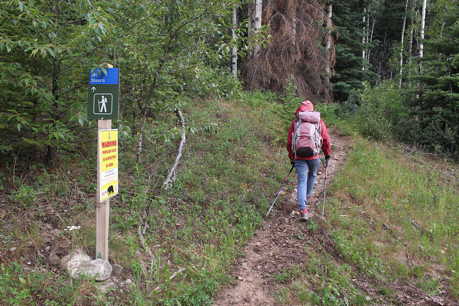
Zosia starts hiking from the signed trailhead.
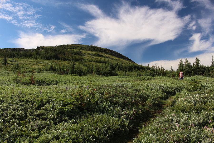
The trail eventually breaks out of the forest into subalpine meadows. The trail continues through the pass at right, but it is possible to leave the trail here and ascend the ridge at left.


|
|
Zosia starts hiking from the signed trailhead. |
|
|
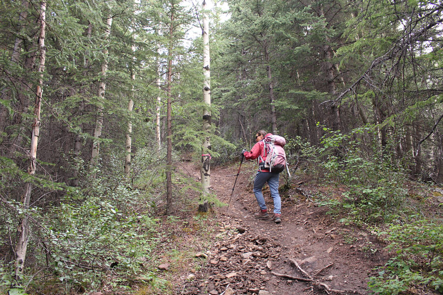
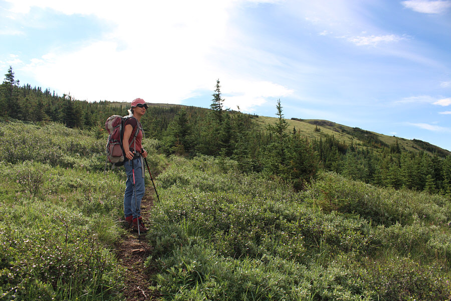
The first five kilometres of trail offer little in the way of views. |
|
|
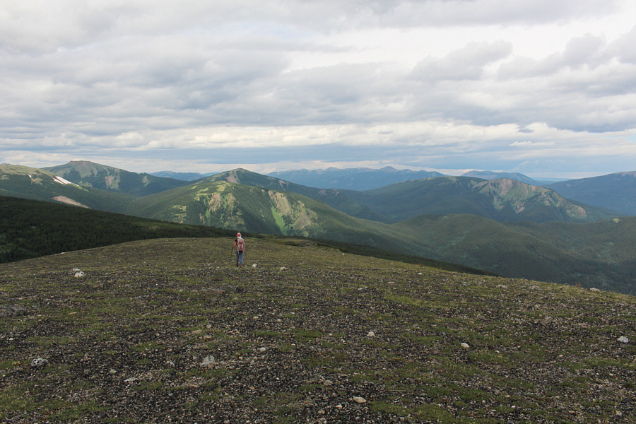
The trail eventually breaks out of the forest into subalpine meadows. The trail continues through the pass at right, but it is possible to leave the trail here and ascend the ridge at left. |
|
|
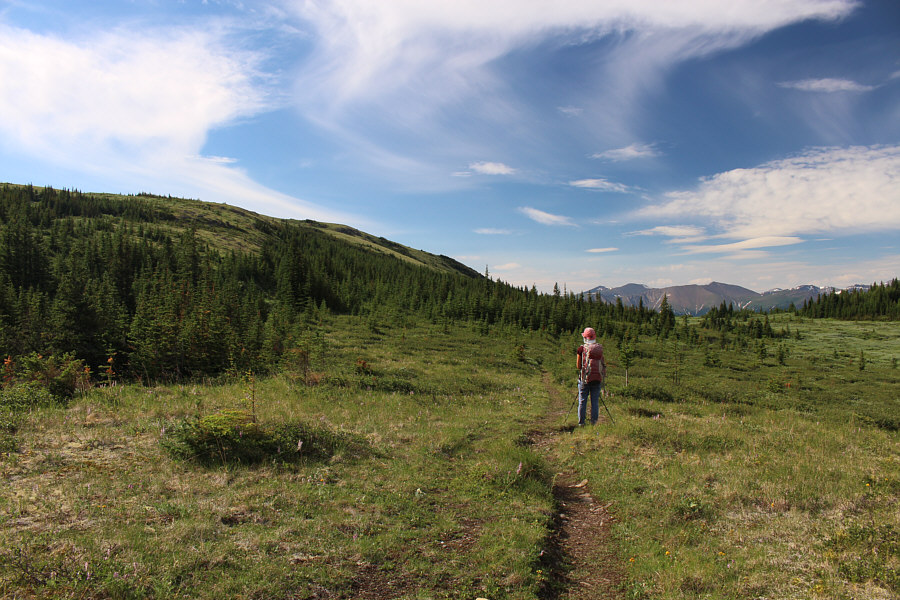
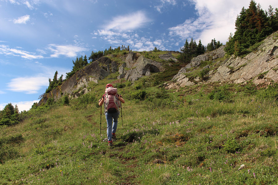
The trail continues through a wide pass to a T-junction ahead. The route to Mount Stearn climbs up the ridge at left. |
|
|
After turning left at the boggy T-junction, Zosia finds drier ground further uphill. |
|
|
The trail disappears temporarily in this vast meadow, but travel is easy. |
|
|
Zosia picks up the trail again at the bottom of a grassy step. |
|
|
Pink mountain heather brighten up the landscape. |
The summit of Mount Stearn is finally in sight.
 |
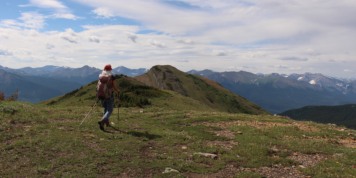
The final ridge before the summit is quite broad and a pleasure to hike. |
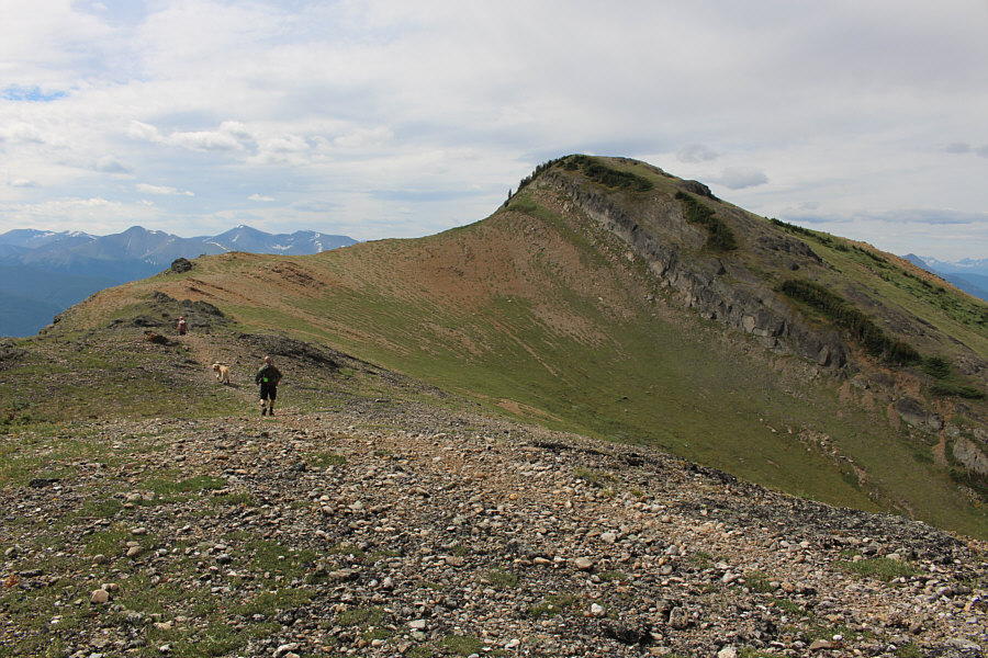 |
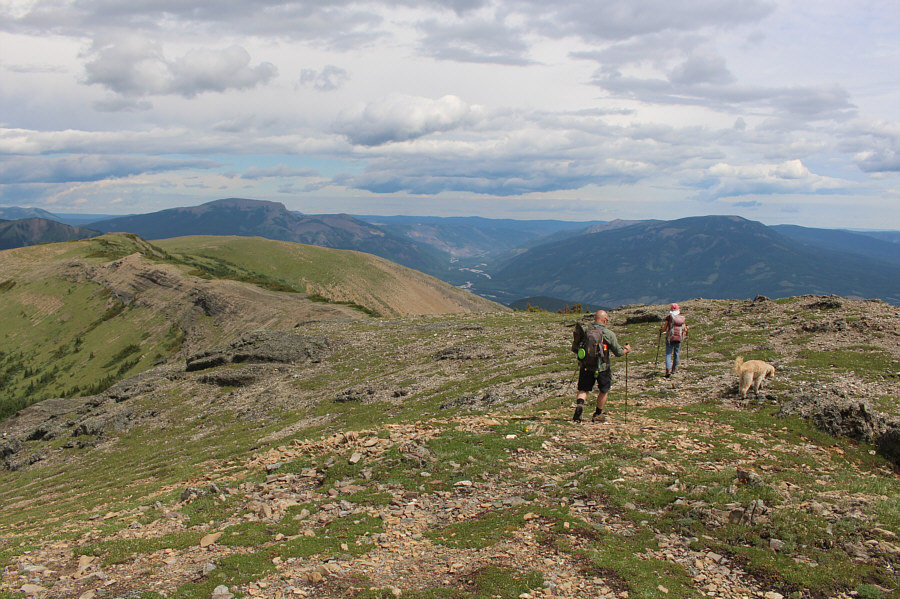
As she approaches the summit block, Zosia is followed by a dog, Bella, and her owner, Aaron. |
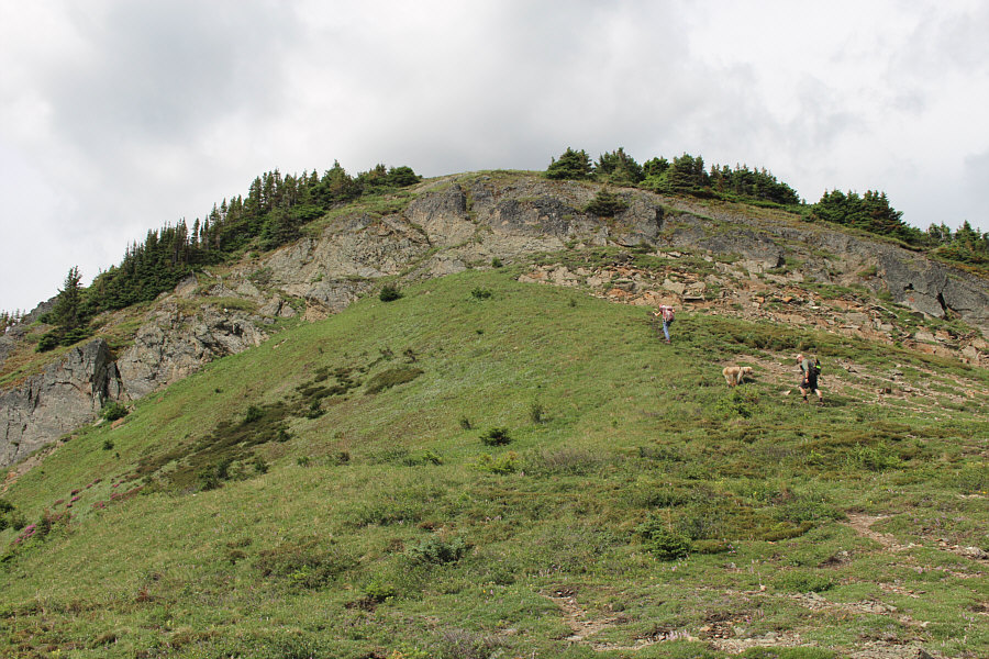 |
A short rock band guards the summit block. |
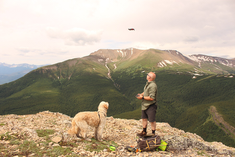 |
Bella watches as Aaron flies a drone at the summit. |
 |
Zosia and Sonny stand beside the Passport to the Peaks mailbox on the summit of Mount Stearn (2020 metres). |
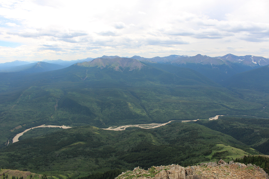 |
Mount Mawdsley (left of centre) and Smoky River are visible to the southeast. |
The western horizon is dominated by Lightning Ridge.
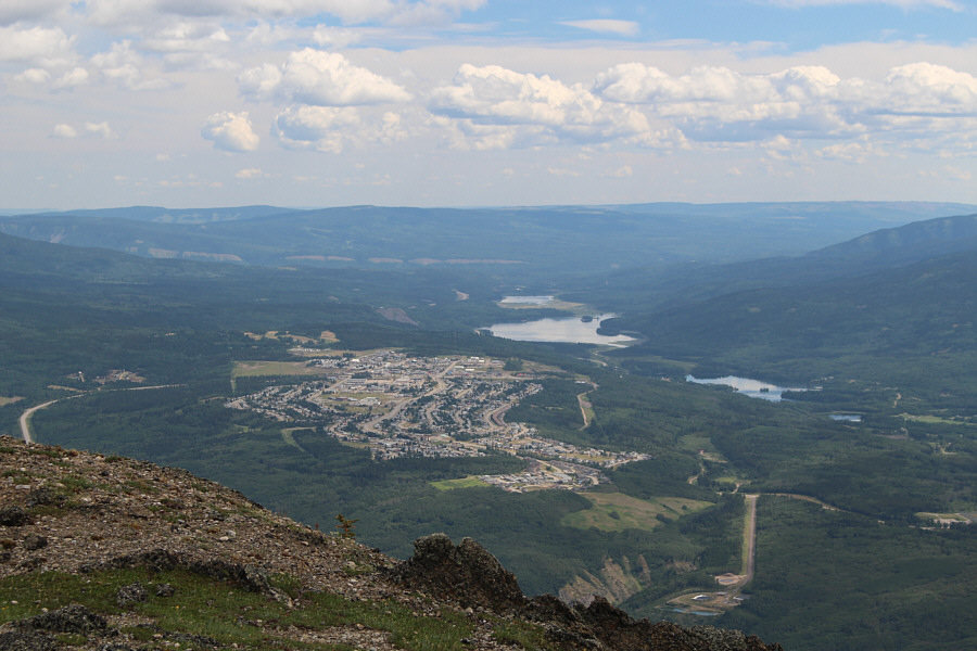 |
The town of Grande Cache can be seen to the east. Also visible are Victor Lake (right), Grande Cache Lake (largest), and Peavine Lake (beyond Grande Cache Lake). |
 |
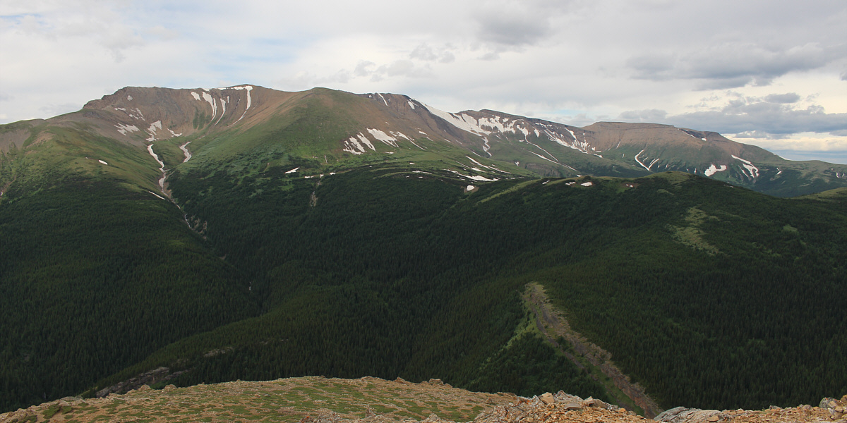
Aaron, Zosia and Bella hike back along the ridge. Mount Hamell (left) and Grande Mountain (right) are visible in the distance. |

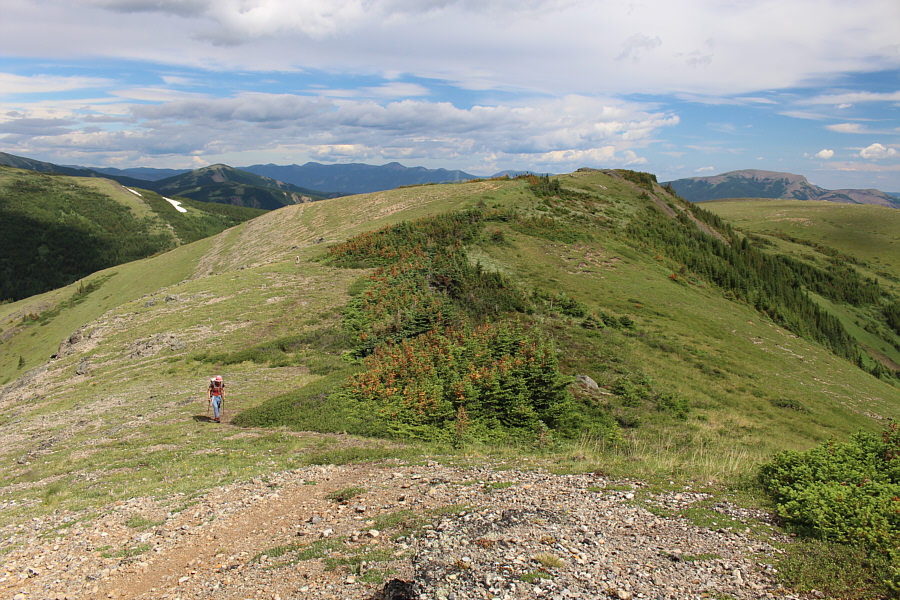
Here is a look back at Mount Stearn's summit (left) from a subsidiary high point.
 |
Zosia hikes the broad ridge north of the subsidiary high point. At right is Ambler Mountain. |
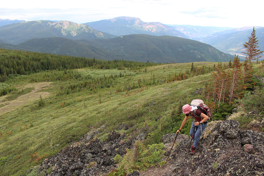 |
Zosia carefully descends a short cliff near the north end of the ridge. The main trail can be seen at far left. |
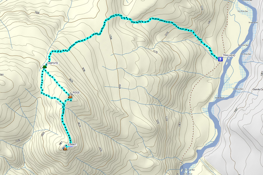 |
Total
Distance: 16.0 kilometres Round-Trip Time: 7 hours 56 minutes Cumulative Elevation Gain: 1099 metres |