BOU AVENUE
Whitney Creek Mountain

Kicking off our spring break on 2 April 2021, Zosia Zgolak and I hiked up an unnamed knob at the north end of a long ridge connected to Victoria Peak in Alberta's Castle Wildland Provincial Park.  I initially spotted this knob on Google Maps and immediately thought that it would make for an easy and scenic hiking objective.  Knowing how thoroughly Dave McMurray has explored the area, I figured that this knob would not have escaped his attention, and after a quick search of his website, I discovered his 2018 trip report in which he attributes to the knob the unofficial name "Whitney Creek Mountain".  In his trip report, McMurray and his partner essentially bulled their way straight up the east face from a gas well site, and although they opted to return the same way, he suggests that the southeast ridge may be a more pleasant route.  Zosia and I would find out if that was so.

From Highway 507, turn south onto Range Road 20A 3.6 kilometres east of the junction with Highway 774 or 15 kilometres west of the roundabout in Pincher Creek.  Drive 6.5 kilometres and turn left (south) onto Range Road 21A.  Drive another 6.6 kilometres to cross a bridge, and reach the provincial park boundary in another 1.5 kilometres.  About 870 metres past the park boundary is a junction with the road leading to McMurray's starting point at a gas well site (1.6 kilometres further).  Stay on the main road for another 1.2 kilometres to reach another junction with a road that is blocked by a locked gate.  Park here.

Going past the locked gate, Zosia and I walked south for about a kilometre before abandoning the road and plunging into the forest to the west.  Although not obvious at first, there is a drainage here, and unfortunately, we ended up on the wrong (south) side of it as we headed uphill through moderate bush and deadfall.  Running into deep snow, we muddled our way across the drainage to the drier north side, and we soon picked up a game trail which led us past the lower end of a notable rock band.  The game trail fizzles out beyond the rock band, but from there, we simply tramped up open grassy slopes on the southeast ridge and had no issues climbing up to the high point of Whitney Creek Mountain.

Just as McMurray promised, the views from this diminutive bump did not disappoint, and Zosia and I enjoyed a long lunch break at the top before commencing our descent.  Retracing our steps down the southeast ridge, we picked up the game trail we stumbled onto earlier and followed it down the north side of the drainage almost all the way back to the road.  We ran into more deadfall and some lingering snow near the bottom, but thankfully, this somewhat miserable section was short-lived.  The hike back to the gate along the road was quick and easy.

In my post-analysis, I concur with McMurray that Whitney Creek Mountain is a gem of a hike offering great rewards for very little effort.  However, the shortness of the trip may not justify the lengthy drive to get there unless it is combined with another objective or perhaps extended to include more of the ridge connected to Victoria Peak (see McMurray's follow-up trip in the area).  Also, I think there is a less bushy way to reach the southeast ridge via an obvious cut block about two hundred metres north of where we left the road.  On our way down, Zosia and I passed a cut line intersecting the drainage.  Not knowing where it led, we chose not to follow the cut line, but I believe it eventually connects to the aforementioned cut block.  Maybe McMurray will check this route out whenever he goes back to traverse the entire ridge!
Some maintenance worker just drove through here as we arrived. Why are they working on Good Friday?

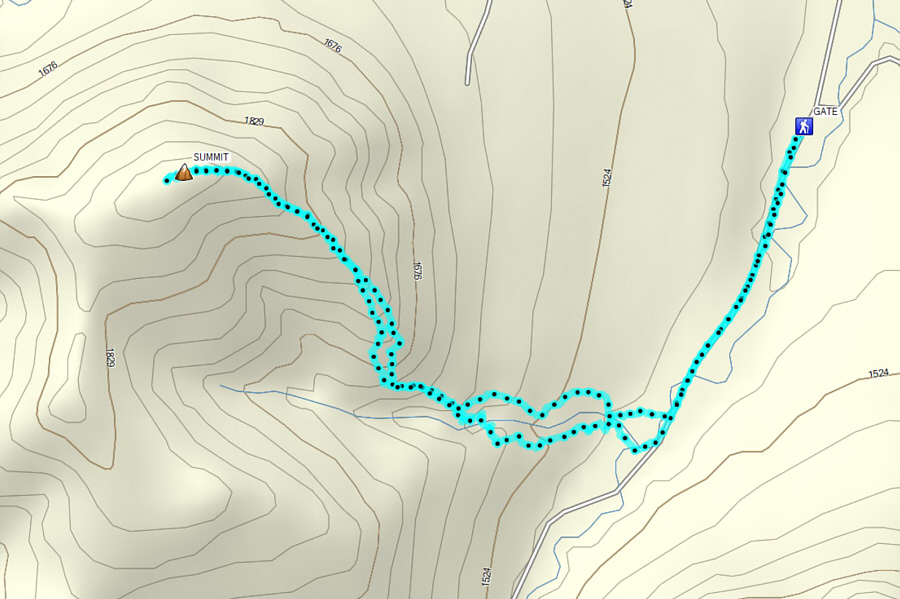
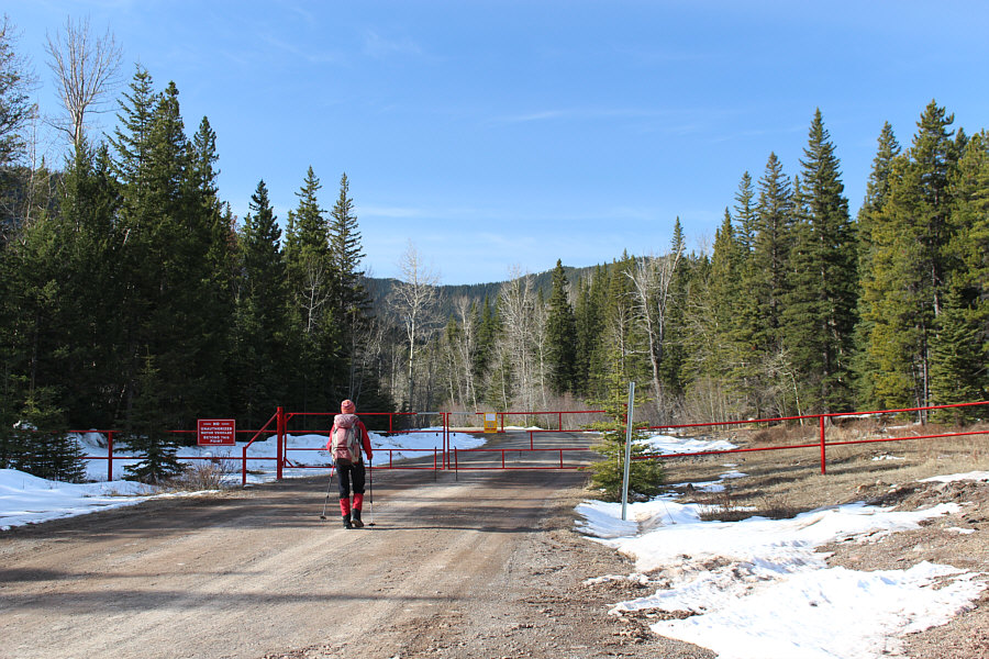
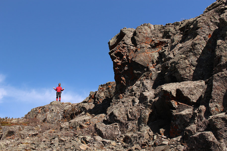
The hike begins at a locked gate along the access road.

Sure, it's no Mount Everest, but let's go climb it anyway!

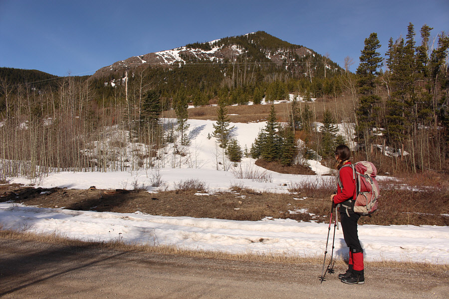
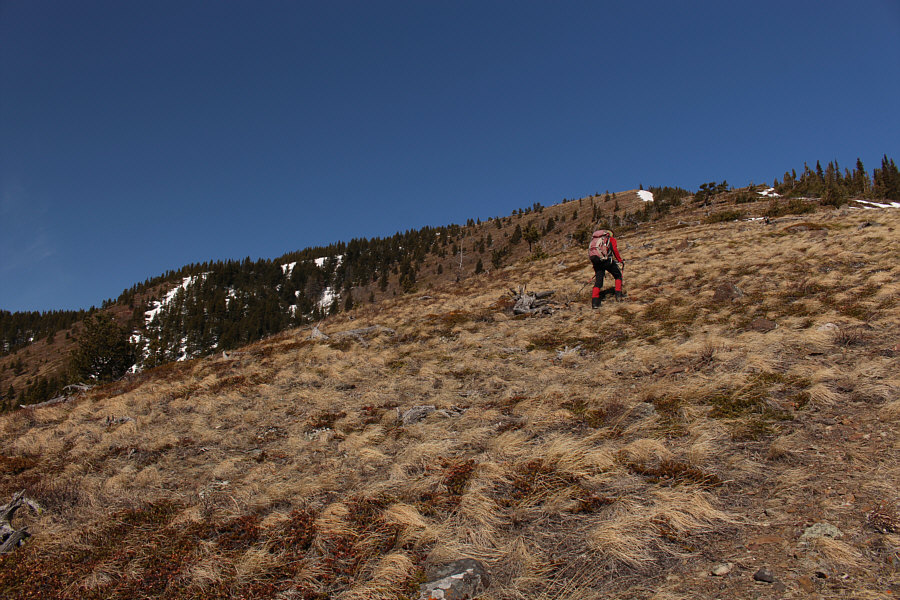
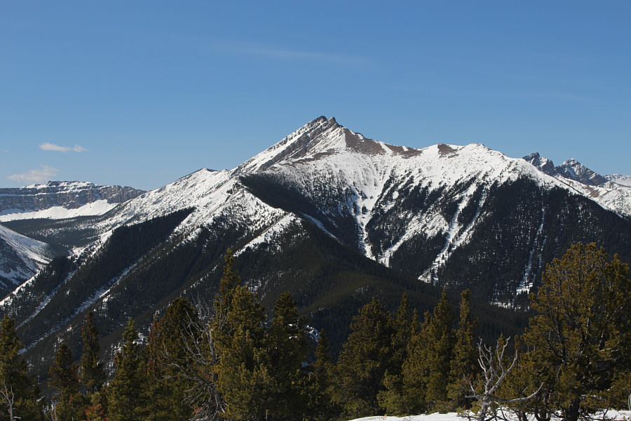
Zosia gets her first glimpse of Whitney Creek Mountain from the road.  Her route of ascent would follow the left hand ridge.

Course correction coming up... Zosia is a bit off-route here as she climbs through moderate bush and deadfall.
No need to rush straight uphill just yet! On the north side of a drainage, Zosia follows a game trail which skirts around the lower end of the rock band ahead.
No trail needed! Zosia grinds uphill along the southeast ridge of Whitney Creek Mountain.
Scramblers may choose to tackle these rocks directly if they like.

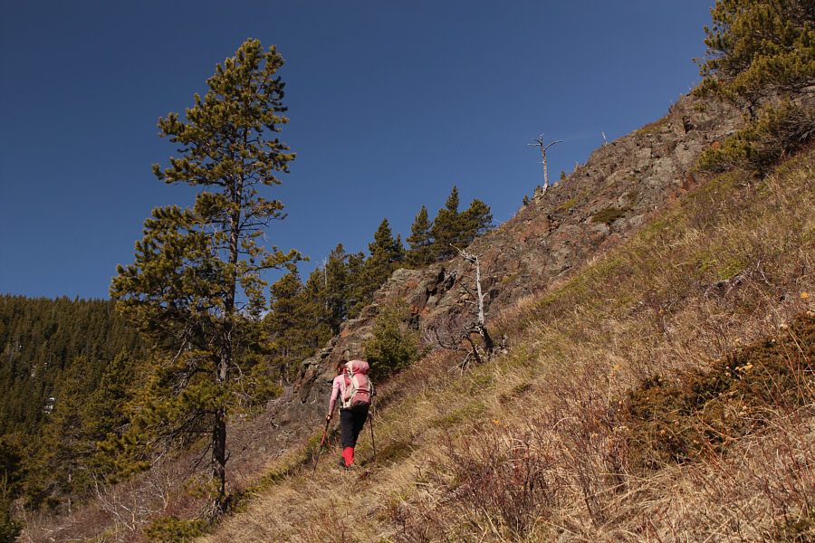
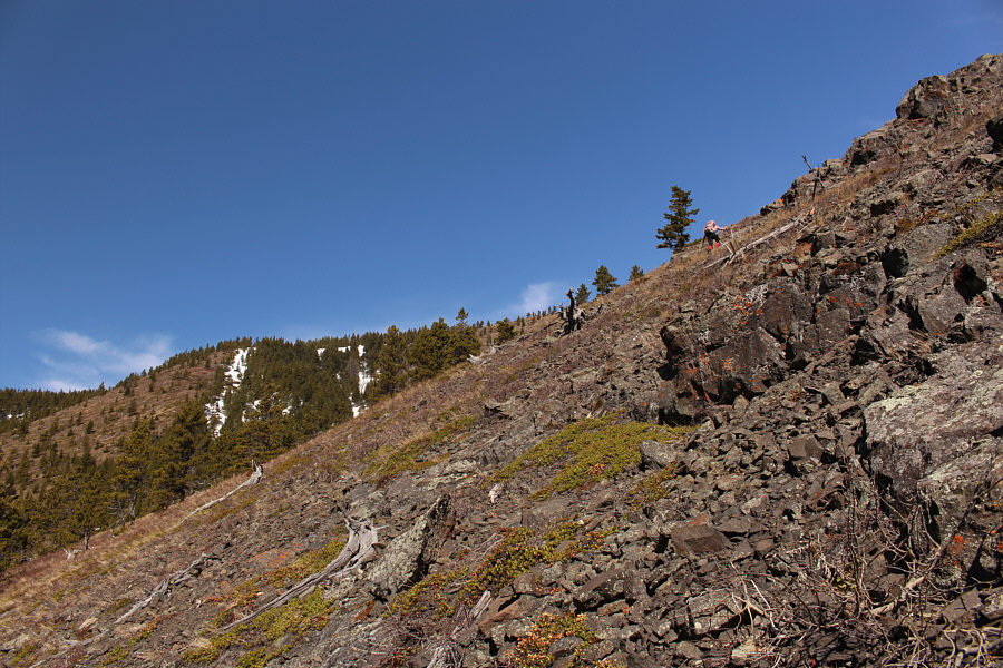
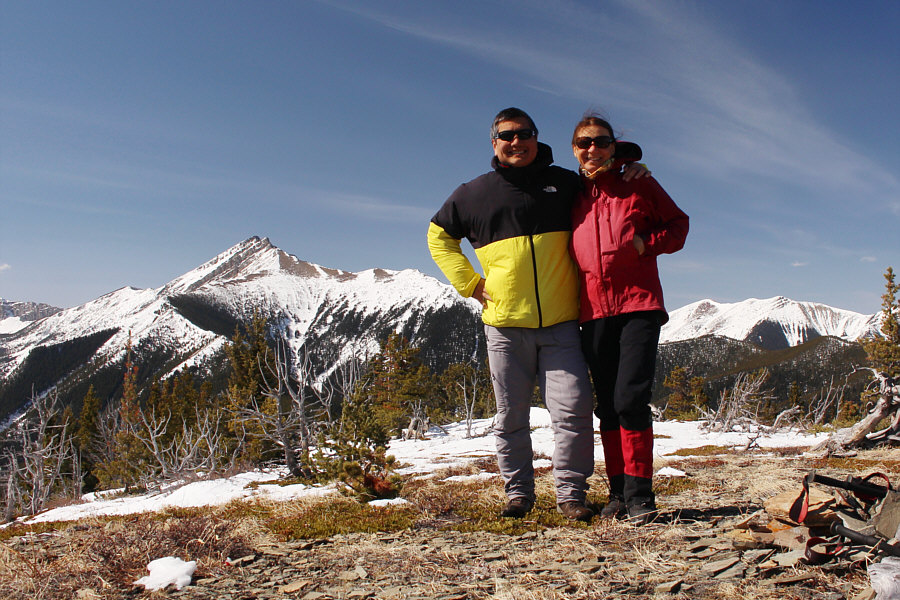
Some rocky sections along the ridge can easily be circumvented to climber's left.

Cute little guy, don't you think?

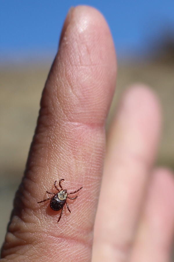
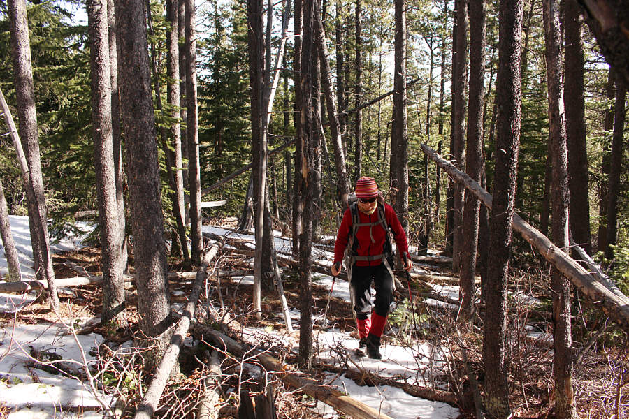
Tick season has begun.

Maybe good for a ski ascent when there is snow! The ascent of the southeast ridge is technically easy.
It took us just a little over 2 hours to get up here. Sonny and Zosia stand on the summit of Whitney Creek Mountain (1936 metres).

Far-reaching views make me happy!

Sonny enjoys the far-reaching views to the west.  At left is Table Mountain.

Photo courtesy of Zosia Zgolak


Hmmm...that ridge in the foreground also looks like a good hiking objective...

To the south, Windsor Mountain and Castle Peak are the unmistakable centrepieces of Castle Wildland Provincial Park.

I will probably climb this one later this summer...I hope!

Mount Gladstone stands out to the southwest.

Lotsa good ridge walking on Prairie Bluff! Zosia retraces her steps back down the southeast ridge with Prairie Bluff dominating the background.
And Victoria Peak is another one that I hope to climb later this year... Zosia stays on the north side of the drainage as she heads back toward the access road.  At distant right is Victoria Peak.
Great bang for your buck but probably in itself not worth the long drive. Total Distance:  5.8 kilometres
Round-Trip Time:  4 hours 1 minute
Net Elevation Gain:  481 metres

GPX Data